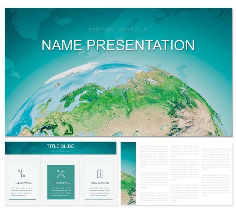
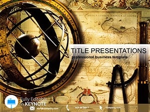
The world is a tapestry of terrains and tales, and presenting its geography demands visuals that wander as freely as the wind. The World Geography Information Keynote Template invites educators, tour operators, and curious explorers to chart those paths with elegance. This collection of 28 geographically attuned diagrams, fortified by three masters and three evocative backgrounds, crafts immersive decks that transport audiences from classroom desks to continental crests.
Delve into continent outlines that pulse with population densities or river systems that snake through timelines of exploration. Seven color schemes - vibrant for cultural hotspots, subdued for topographic studies - mirror the planet's diversity, suiting everything from travel itineraries to environmental reports. It's ideal for those moments when static maps fall flat, like lecture halls buzzing with questions or sales teams selling dream destinations.
At heart, it's about sparking wonder: a slide where tectonic plates slide into view, narrating earth's restless story, or migration routes that arc like bird flights. For tourism pros plotting eco-tours or teachers unpacking urban evolutions, this template layers facts with flair, making geography not just learned, but lived. Ready to map your narrative? Let's navigate its contours.
Essential Elements: Foundations of Geographic Storytelling
Three master slides ground your expedition: an atlas opener for scopes, a terrain body for details, and a horizon closer for reflections. The backgrounds enhance immersion - a parchment map texture for history, a satellite overlay for modernity, and a compass rose motif for direction.
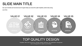
The 28 diagrams span the spectrum, from choropleth maps shading economic zones to Venn overlays for overlapping climates. Precision vectors ensure details like city pins or elevation contours remain sharp, no matter the zoom.
- Global Tones: Seven schemes evoking biomes, from desert ochres to arctic whites, for thematic harmony.
- Flexible Frameworks: Dissect and reassemble maps, adding pins or legends with drag simplicity.
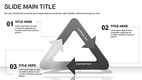
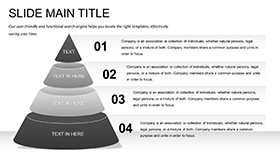
- Exploratory Array: Flow diagrams for trade winds, pyramid hierarchies for mountain ranges, and scatter plots for biodiversity hotspots.
Pair with GIS snippets for live data pulls, keeping your globe spins current and captivating.
Navigation Guide: Customizing Your Geographic Deck
Charting custom courses in Keynote is a breeze. Launch, lock in a master, and trace:
- Anchor the Atlas: Tailor slide 4's world overview with selected continents, applying a scheme to highlight focus regions.
- Detail Destinations: On slide 15's route planner, trace paths with bezier curves, annotating stops like "Sahara Crossing."
- Enrich with Epochs: Layer historical icons onto slide 22's timeline meridian, sequencing reveals for era-by-era unfolds.
- Amplify Adventures: Embed 360 clips in slide 27's panorama frame, masking edges for seamless virtual tours.
- Chart and Chartreuse: Rehearse in navigator mode, syncing zooms to narrate flows fluidly.
This trailblazing trumps tracing from templates, where distortions dilute accuracy, forging authentic adventures in an afternoon.
Expedition Examples: Geography in Vivid Contexts
A travel agent might unfurl slide 9's itinerary web, connecting flights to folklore, evoking the narrative arcs of guidebooks like Lonely Planet. Educators could activate the ecosystem balance on slide 19, toggling variables to simulate climate shifts, mirroring interactive models in geography curricula.
For policy briefs, the resource distribution Sankey on slide 25 channels flows from source to sink, informing sustainable debates. These vignettes reveal the template's wanderlust, weaving data into destinations.
Superior to Standard: Template's Terra Firma
Off-the-shelf Keynote maps often blur boundaries, but this delivers delineated designs with embedded projections for distortion-free views. It advances with geo-tagged placeholders for AR previews and shareable .kth packs for collaborative cartography, broadening horizons beyond solitary sketches.
Set sail on visual voyages - acquire the World Geography Information Keynote Template for $22 and uncover endless possibilities.
Frequently Asked Questions
Are the maps projection-accurate?
Yes, based on Mercator and Robinson standards, with options to switch for polar fidelity.
Can I import custom shapefiles?
Directly via SVG imports, overlaying your data for bespoke boundaries.
How suitable for K-12 education?
Simplified layers and color-by-number schemes engage young learners interactively.
Does it support 3D elements?
Keynote shadows and rotations add depth to terrains without external plugins.
What's the scalability for print?
Vector purity ensures poster-quality outputs at 300 DPI.