See Land Word Template for Global Reports
Type: Word templates template
Category: Transport - Logistics
Sources Available: .dot, .dotx, .jpg
Product ID: WT00746
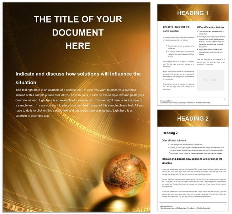
Globe-trotting ideas deserve a stage that spans horizons, not confines them to plain pages. Enter the See Land Word template, a gateway for explorers, logisticians, and analysts to chart territories with vivid precision. Geared toward professionals in transport, education, and international affairs, this template layers earthy textures and navigational elements to make global insights feel immediate and expansive. It's your passport to documents that don't just inform - they transport.
Visualize a logistics coordinator plotting supply chains: continent outlines frame route descriptions, with overlaid paths highlighting efficiencies. Or a geography teacher assembling field trip recaps - the template's map-inspired backgrounds ground narratives in place, sparking classroom discussions. Built for Word 2013+, it offers robust tools for embedding images, ensuring your worldly tales unfold without technical hurdles.
Essential Features for Territorial Mastery
The template shines through its geographic backbone: subtle landmass silhouettes as watermarks, customizable via the Picture Format tools for regional focus - zoom on Europe for EU reports or Asia for trade analyses. Text blocks align to grid lines mimicking latitudes, with fonts like Georgia evoking timeless exploration journals. Pull-quotes styled as compass roses draw attention to key stats, perfect for inserting pie charts from data sources.
Tweaking is effortless: adjust watermark transparency to spotlight text, or recolor landforms to thematic greens and blues. The footer includes placeholder for coordinates, auto-updating via fields for dated logs. Vectors for icons - ships, planes, routes - scale flawlessly, supporting inserts up to full-page spreads.
- Map Overlays: Editable silhouettes for continents and countries.
- Navigation Styles: Compass and scale motifs for headers.
- Content Frames: Borderless boxes that blend with backgrounds.
Streamlining Your Global Workflow
Start projects by importing GIS snippets as images, then layer template elements atop. For collaborations, styles sync changes across docs. Export to web-friendly HTML via Word's save-as, preserving layouts for online portfolios. Insight from cartographers: use layer ordering to prioritize foreground text over subtle maps.
Use Cases That Span Continents
For supply chain managers, delineate vendor networks: arrows along land outlines trace shipments, with tables below detailing timelines. This visual shorthand clarifies complexities, aiding boardroom decisions. Travel writers find solace in chronicling itineraries - each chapter a "leg" with photo integrations, the template's earthy tones warming personal anecdotes.
In academia, compile environmental impact studies: section breaks mimic borders, housing bullet-point findings on climate shifts. Versus stock templates, this one's contextual depth avoids generic pitfalls, delivering authenticity. Guide your build: outline regions, populate with media, style uniformly, review for cultural sensitivity.
- Step 1: Select focus area; crop map elements accordingly.
- Step 2: Draft sections, embedding hyperlinks to sources.
- Step 3: Enhance with icons; test print contrasts.
- Step 4: Add index for multi-region docs.
Such steps forge documents that navigate readers effortlessly.
Polishing for Worldwide Appeal
Incorporate multimedia: hyperlink land icons to videos of locales, enriching digital versions. Vary intensities - bold for urban hubs, soft for rural expanses - to mirror realities. Accessibility features include high-contrast modes and descriptive alts like "outline of African continent."
For series, clone the template per volume, evolving backgrounds for thematic arcs. Elevate your global narratives with this $22 download - see lands unfold before your eyes.
Frequently Asked Questions
Can I edit the map elements?
Yes, all silhouettes and icons are vector-based for precise modifications.
Is it compatible with international paper sizes?
Fully, with adjustable margins for A4, letter, and beyond.
How to insert real maps?
Paste as images or link to online embeds via fields.
Does it include metric/imperial toggles?
Styles support both; customize units in footers.
Suitable for educational use?
Ideal, with clear structures for lesson plans and reports.