Geography Maps Word Template for Educators
Type: Word templates template
Category: Education & Training
Sources Available: .dot, .dotx, .jpg
Product ID: WT00209
Picture a classroom where continents unfold like stories on a page, sparking curiosity that lingers long after the bell. Our Geography Maps Word Template turns that vision into reality, a dynamic resource for teachers, homeschool parents, and geography buffs eager to map out knowledge with flair. From plotting migration patterns to dissecting trade routes, this template equips you to make the world tangible, one editable layer at a time.
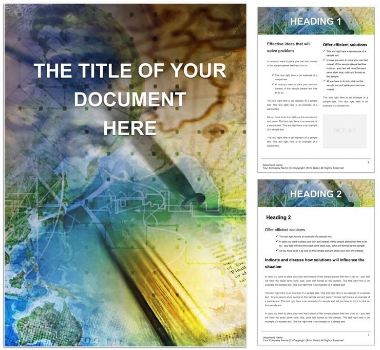
Built for Microsoft Word 2016 and up, including the web version, it spans 28 pages of high-resolution, vector-drawn maps - from global overviews to regional deep dives. Oceans in serene blues, borders in crisp lines, and labels that resize without blurring: every detail is primed for annotation. Whether projecting for group discussions or printing for desk references, it adapts to your teaching style, blending cartographic accuracy with creative freedom.
For curriculum developers aligning with standards like National Geography Standards, the template's thematic pages - climate zones, population densities - offer ready scaffolds. Insert data tables for stats on urbanization, or hyperlink to interactive globes for hybrid lessons. It's the tool that elevates flat facts into immersive journeys, reminiscent of how explorers like Ibn Battuta chronicled their paths, but digitized for today's classrooms.
Mapping Out the Standout Features
At heart, it's a cartographer's toolkit in Word's familiar embrace. The world map master page includes latitude-longitude grids, ready for pinning events like historical treaties or current events hotspots.
- Regional Spotlights: Dedicated sheets for continents, with sub-maps for countries and cities, complete with fact sidebars.
- Thematic Overlays: Transparent layers for resources, biomes, or economic indicators, toggleable for focus.
- Legend Builder: Auto-generating keys that update as you add symbols, from volcanoes to capitals.
- Quiz Integrations: Blank versions for student fill-ins, paired with answer templates.
Tweaking is intuitive: Shade regions with gradient fills for elevation, or embed charts via Word's insert menu for rainfall trends. This beats cobbling together free online maps, offering offline reliability and full ownership of your visuals.
From Lesson Plans to Field Trips: Versatile Applications
Envision a middle school teacher illustrating the Silk Road: Overlay trade icons on Asia's map, linking to embedded timelines that trace cultural exchanges. Students engage by adding their annotations, turning passive viewing into active discovery.
Homeschool families chart family heritage, customizing Europe pages with migration arrows and personal stories. In corporate training, HR pros use demographic maps for diversity workshops, highlighting global talent pools with color-coded stats.
Navigating Setup: Your Route to Ready-to-Teach
- Unpack the File: Download the .dotx and open in Word; pages stack in the thumbnail view for easy jumping.
- Customize Basemaps: Adjust projections - Mercator for familiarity or Robinson for minimal distortion.
- Layer in Content: Drop text for labels, shapes for boundaries, ensuring alignment with snap-to-grid.
- Enhance Interactivity: Add hyperlinks to videos or quizzes, testing in slideshow mode.
- Output Options: Export to image for handouts or keep as doc for editable assignments.
This sequence, drawn from educator best practices, gets you teaching in moments, freeing energy for what matters: igniting wonder.
The Edge That Makes Geography Stick
It's in the thoughtful touches - like bilingual labels for inclusivity or adaptive color schemes for accessibility - that this template truly maps ahead. University lecturers layer it with GIS data pastes, creating lecture slides that rival professional atlases. For travel bloggers, it's a canvas for itinerary maps, plotting adventures with photo inserts.
In an era of screen fatigue, these pages invite hands-on exploration, fostering spatial thinking that underpins everything from navigation apps to policy decisions. Your students won't just see the world - they'll navigate it.
Chart your course: Get the Geography Maps Word Template for $22 and open doors to discovery.
Frequently Asked Questions
Are the maps vector-based for resizing?
Yes, every line and shape scales crisply, ideal for zooming or printing at various sizes.
Can I add my own data or images?
Certainly; insert tables, photos, or even scanned sketches directly into map sections.
Does it cover specific regions in detail?
It includes global and continental views, with expandable templates for hotspots like Europe or Asia.
Is it suitable for non-educators?
Absolutely - great for business reports on markets or personal travel planning.
How do I handle color-blind accessibility?
Use the pattern fills and high-contrast options built into the design palette.