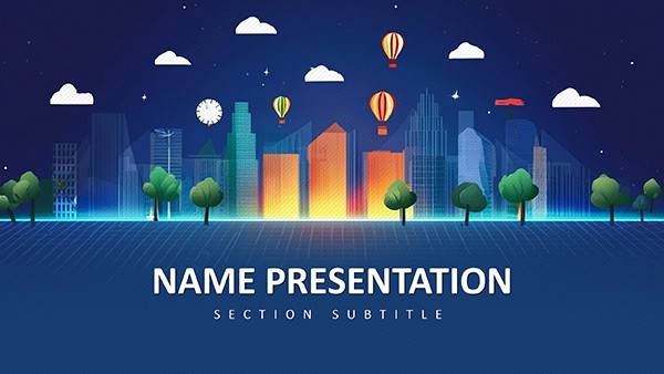
Map out the pulse of city life with our subway stations PowerPoint templates. Aimed at urban planners, transit engineers, and policymakers, these slides capture station layouts, connectivity hubs, and upgrade proposals through schematic diagrams and 3D renders. From crowded platforms to seamless interchanges, designs highlight efficiency and flow.
Our templates simplify complexity: drag in GIS data for real-time route visualizations or annotate blueprints with upgrade notes. Built for PowerPoint, they ensure smooth animations - like trains gliding through tunnels - to demonstrate traffic patterns vividly.
Impress councils or teams with decks that advocate for better mobility. Stakeholders grasp improvements instantly, from accessibility ramps to digital signage integrations.
Connect the dots - explore subway stations templates and engineer smarter commutes.


Subway presentations require precision mapping, which our templates provide over vague sketches. They feature layered metro icons and pathfinding arrows, turning abstract plans into navigable stories.
An expansion template could simulate passenger surges with heat animations, revealing bottlenecks before they arise.
Superior to stock slides, ours include scale models and legend keys, cutting design iterations significantly.
Kick off with a city skyline overview, zooming into key nodes. Employ color gradients for line distinctions, and embed videos of peak-hour footage for realism. Narrative arcs - from problem identification to solution rollout - guide audiences logically.
Accessibility matters: alt text for maps and high-contrast paths ensure inclusivity. Templates bake in these standards.
These elevate discussions to innovative heights.
Propel urban evolution - pick a template and route your ideas effectively.
Visual hierarchies clarify chaos; our templates use this with focal point stations and radiating lines. Evidence links strong visuals to 40% better decision-making in planning.
A heritage station template might overlay historical photos with modern schematics, honoring legacy while pushing progress.
| Attribute | Advanced Templates | Basic |
|---|---|---|
| Mapping Tools | Vector routes | Static images |
| Animation Sets | Built-in flows | Custom needed |
| Data Linking | Excel sync | None |
This toolkit empowers precise advocacy.
Use these to forge connected, vibrant urban fabrics.
Copyright © 2009-2026 ImagineLayout All rights reserved.