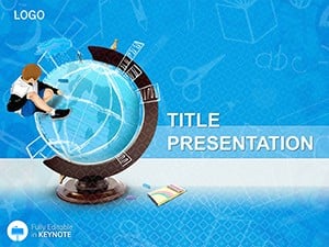
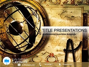
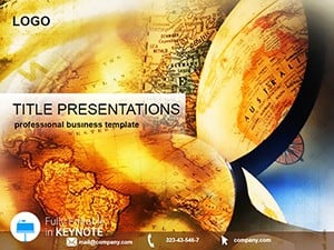
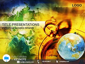
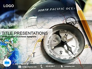
Embark on a world of discovery with our geography Keynote templates, engineered for educators, explorers, and analysts to vividly illustrate Earth`s diverse terrains and cultures. These engaging designs turn abstract concepts into captivating narratives, from continental drifts to urban sprawls.
Boasting interactive layers for biomes, population densities, and trade routes, you can peel back oceans to reveal tectonic plates or zoom into river basins. Teachers appreciate ready-to-teach formats with quiz embeds; travelers, itinerary overlays on satellite views. Customizable for any scale - local watersheds to polar expeditions - these templates foster deeper understanding.
Suited for classrooms, conferences, and curiosity-driven projects, they blend education with entertainment. Venture into our geography collection and chart your course to insightful presentations.


Conventional geography slides bore with static images, missing the planet`s pulse. Our templates pulse with vitality - animated fault lines simulating earthquakes or wind roses charting monsoon patterns. For a climate change seminar, stack layers of historical vs. projected sea levels, revealing at-risk coastlines like the Maldives.
Urban planners layer zoning maps over demographic heatmaps, forecasting growth in megacities like Lagos.
Superior to textbook diagrams, they encourage exploration, sparking "what if" discussions.
Classroom modules on plate tectonics use build sequences to demonstrate subduction zones. Travel documentaries adapt for pitch decks, tracing Silk Road remnants with cultural annotations. Environmental NGOs map conservation efforts, pinpointing deforestation in the Amazon via satellite overlays.
Business intelligence teams visualize supply chains, from Siberian mines to Asian ports.
This method boosts retention, transforming passive viewers into active learners.
Convert to web embeds for interactive blogs or apps simulating eco-tourism. Adventure clubs plan expeditions with risk-assessed topographies. A teacher noted: "Students begged for more after our volcano unit."
Navigate our geography arsenal and explore boundless possibilities.Pair with timeline add-ons for historical contexts.
Yes, comprehensive sets from Antarctica to Afro-Eurasia.
Precisely, with GPS pin tools for exact locations.
Child-friendly variants with simplified labels and colors.
Pre-set paths for rivers, winds, and migrations.
Mercator, Robinson, and equal-area for accurate depictions.
Traverse the globe with style. Grab a geography template and inspire discovery.
Copyright © 2009-2026 ImagineLayout All rights reserved.