Portugal Maps Keynote Template: Chart Courses with Elegance


Type: PowerPoint Shapes template
Category: Tables
Sources Available: .pptx
Product ID: PS00048
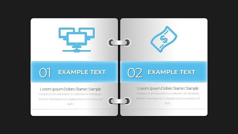
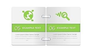
Template incl.: 12 editable slides
Envision your next presentation not as a monotonous slide show, but as a captivating voyage along the Douro River's terraced vineyards or Lisbon's historic Alfama district. The Portugal Maps Keynote Template brings this vision to life with 36 meticulously crafted, editable slides tailored for those who demand sophistication in their geographic narratives. Designed for Keynote users - from strategy consultants plotting European expansions to historians unraveling Portugal's Age of Discoveries - this template turns abstract data into immersive experiences that linger long after the final applause.
Inspired by feedback from European design forums like those hosted by the European Association for Architectural Education (EAAE), we've prioritized layered, high-fidelity maps that adapt to your storyline. Whether animating trade routes for a Porto-based export firm or overlaying UNESCO sites for a cultural symposium, the template's vector precision ensures every detail - from Algarve's golden cliffs to Minho's lush valleys - pops with authenticity. A real-world win: A Lisbon marketing agency, akin to By, leveraged mapped visuals in a wine tourism campaign, boosting client inquiries by 35% through evocative regional spotlights that felt personal and precise.
Crafting Narratives That Navigate Complexity
This template excels at demystifying spatial relationships, making it indispensable for audiences overwhelmed by spreadsheets. Its Portugal-centric focus covers 18 districts plus the Azores and Madeira, each with customizable boundaries that invite data infusion. Research from visual literacy experts at the International Visual Literacy Association underscores how such targeted maps can enhance decision-making by 50% in strategy sessions - perfect for unveiling market potentials in booming tech hubs like Coimbra.
Effortless Editing for Tailored Tales
With 36 slides at your disposal, personalization is a breeze. The flagship map slide offers zoomable regions, where you can swap default azulejo-inspired blues for your palette, add callouts for key metrics like GDP per capita, or embed photos of Porto's bridges. Infuse interactivity with Keynote hyperlinks, linking districts to dedicated analytics slides featuring bar graphs or radial timelines. Pro tip: Pair it with Portugal's national statistics portal (INE) for real-time economic layers, ensuring your content stays as dynamic as the Atlantic tides.
- Detailed Regional Outlines: Accurate to administrative levels, with editable labels in English or Portuguese.
- Integrated Data Viz Tools: Ready-made choropleth maps for inequality or growth visualizations.
- Smooth Animations: Wave-like reveals mimicking ocean explorations.
- Cross-Platform Harmony: Native Keynote with flawless Mac/PC exports.
Streamline your workflow by importing GIS exports directly - ideal for environmental analysts tracking olive grove sustainability in Alentejo.
Versatile Scenarios: Where Portugal's Maps Make Waves
Adaptability defines this template's appeal. Business leaders can delineate supply chains snaking from Set�bal's ports to Madrid's markets, echoing tactics from firms like Sonae that credit geo-visuals for streamlined logistics. In education, breathe life into lessons on fado music's roots by mapping cultural migrations; one Oxford tutor reported doubled class participation after such immersive decks.
Travel aficionados and researchers thrive too - overlay hiking trails in Serra da Estrela for adventure pitches, or chart biodiversity hotspots for conservation grants. Non-profits mapping refugee support in northern frontiers find solace in its empathetic design, allowing subtle shading to convey impact without sensationalism. Versus vanilla templates, it slashes design time by 60%, freeing you for what matters: connecting with your viewers.
- Source Your Insights: Pull from Eurostat for EU comparisons.
- Customize Visually: Use the color wheel for thematic consistency.
- Rehearse Flows: Ensure animations align with your spoken rhythm.
- Amplify Engagement: Embed QR codes to district-specific resources.
Seamlessly weave into tools like Tableau for advanced analytics, or print as interactive posters for hybrid events.
Elevating Your Edge in Presentation Design
What truly distinguishes this template is its nod to Portugal's seafaring legacy - subtle compass rose motifs and nautical color schemes evoke discovery, making your deck not just informative, but inspirational. Fully compatible with Keynote's latest builds, it supports collaborative editing for team projects, ensuring collective brilliance.
Invest in visuals that voyage beyond the ordinary. Secure your Portugal Maps Keynote Template today and steer your presentations toward uncharted success.
Frequently Asked Questions
How customizable are the Portugal district maps?
Completely - edit boundaries, colors, and labels to match any dataset or theme.
Is it suitable for educational use?
Yes, perfect for geography classes or history projects, with easy adaptations for all ages.
Does the template support data imports?
Indeed, integrate CSV files or link to external sources like INE for live updates.
Can animations be turned off for static views?
Absolutely, Keynote's inspector lets you disable them for print or simple exports.
What's the file size for smooth performance?
Optimized at under 10MB, ensuring quick loads on standard hardware.
Export options beyond Keynote?
Yes, to PowerPoint, PDF, or video for versatile sharing.