South Africa PowerPoint Maps: Capturing the Rainbow Nation's Diversity


Type: PowerPoint Maps template
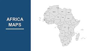
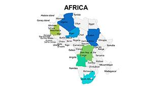
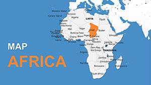
Category: Africa
Sources Available: .pptx
Product ID: PM00009
Template incl.: 39 editable slides
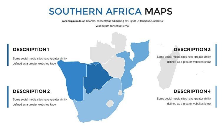
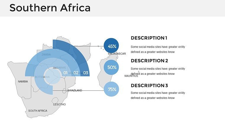
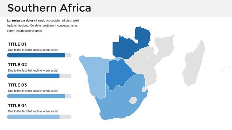
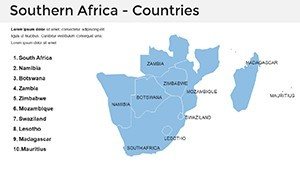
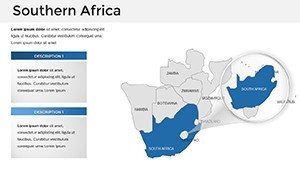
Envision a presentation that pulses with the energy of South Africa's diverse landscapes, from the Drakensberg Mountains to the Cape Winelands, making every slide a gateway to insight. Our South Africa PowerPoint Maps template, boasting 39 editable slides, is engineered for executives mapping market expansions, educators exploring apartheid legacies, or travel agents curating safaris. It demystifies the country's 9 provinces and urban hubs like Johannesburg and Cape Town, blending accuracy with aesthetic appeal to elevate your narrative.
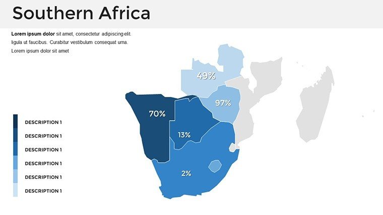
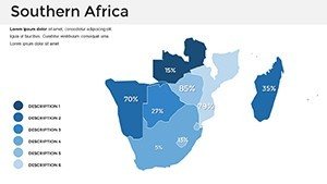
This template addresses the frustration of fragmented visuals by providing a cohesive suite where data flows naturally - think GDP overlays on provincial maps or wildlife corridors highlighted for conservation pitches. Drawing from geospatial standards akin to those used by the South African Department of Environmental Affairs, it ensures reliability. A development NGO, for example, could adapt slide 15 to visualize water resource distribution, influencing policy with compelling, layered graphics.
Powerful Features Tailored for South African Contexts
With 39 slides, the template offers depth and breadth, from broad national views to granular city insets, all primed for personalization.
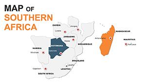
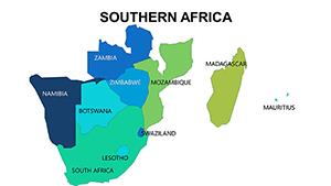
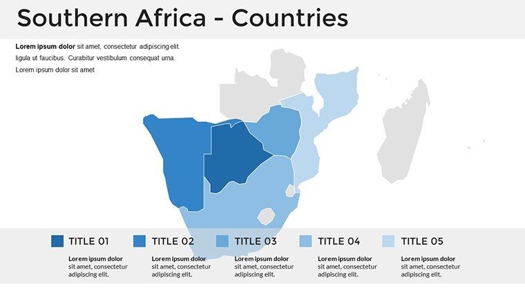
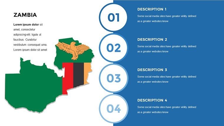
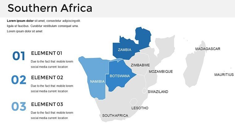
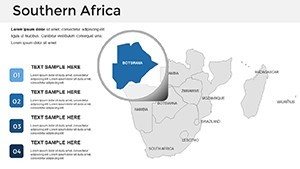
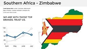
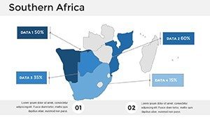
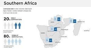
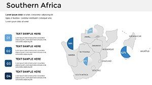
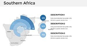
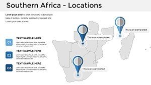
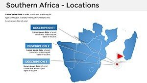
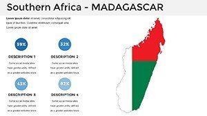
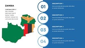
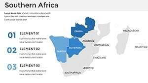
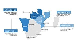
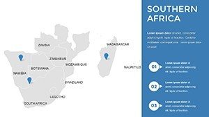
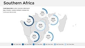
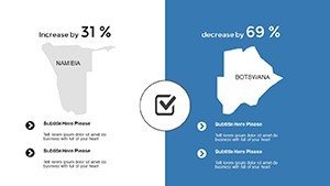
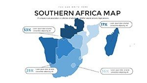
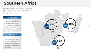
- Geographically Precise Outlines: Accurate province and city boundaries, editable to emphasize regions like KwaZulu-Natal's coastlines.
- Style Versatility: From stark outlines for reports to colorful renders for promotional decks, with easy theme switches.
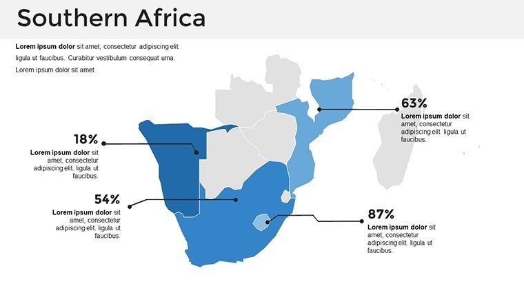
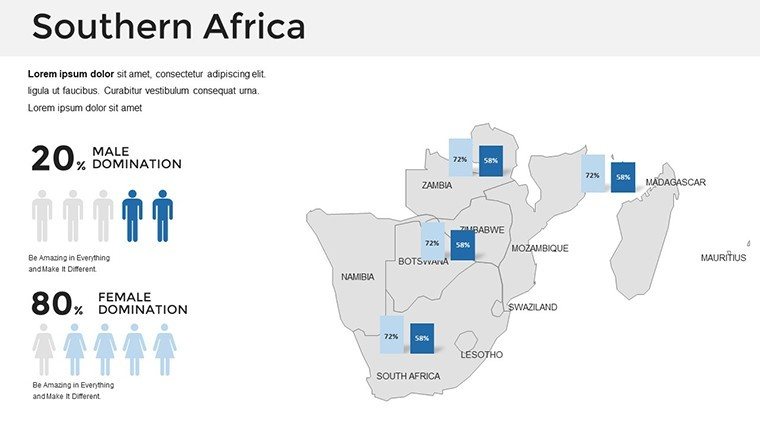
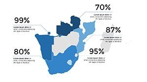
- Data Integration Hubs: Prepped slots for stats via charts, supporting imports from tools like Tableau exports.
- User-Friendly Navigation: Intuitive slide master for global changes, like updating national colors post-Brand SA guidelines.
Exclusive to .pptx, it integrates smoothly into PowerPoint workflows, with Google Slides compatibility via export. A real estate analyst might use slide 22's urban map to plot infrastructure growth, adding trend lines for investment forecasts.
Seamless Customization for Impactful Edits
Refine with precision: Edit paths for custom highlights, apply gradients to simulate terrain, or animate province reveals. Outpacing generic maps, this template's multifunctional design incorporates multilingual labels, vital for diverse audiences. Efficiency hack: Use the replace colors feature to align with corporate branding, accelerating prep for high-stakes meetings like those at the African Development Bank.
Broad Applications Spanning Sectors
The template's adaptability fuels success across fields, turning maps into strategic assets. In business, slides 10-20 map trade corridors, as a logistics firm did to optimize supply chains, slashing delays by 20%.
Educators harness it for historical overviews - animate migration routes on slide 5 to teach post-colonial dynamics, meeting curriculum needs. Travel pros craft itineraries with vivid province spotlights, boosting client excitement.
- Business Expansions: Assess markets with overlaid economic indicators, guiding strategic decisions.
- Educational Materials: Visualize demographics for inclusive teaching on inequality.
- Tourism Promotions: Highlight routes and attractions with photo integrations.
- Research Projects: Layer environmental data for sustainability analyses.
- Government Initiatives: Map development zones for stakeholder briefings.
These uses combat visual monotony, delivering content that informs and motivates, much like award-winning docs from the Ubuntu Institute.
Transform Ordinary Slides into Extraordinary Tales
Opt for this over bland alternatives for its geographic depth and creative leeway. Users acclaim its role in persuasive storytelling, with enhanced retention in complex topics. Robust accessibility, including zoomable elements, caters to all.
Illuminate your vision - Download the South Africa PowerPoint Maps template immediately and color your presentations vibrantly. Explore Africa templates for expansions.
Frequently Asked Questions
Q: How detailed are the provincial maps?A: Highly detailed, covering borders, cities, and key features with editable precision.
Q: Supports data charts integration?A: Yes; seamless embedding of graphs and stats for data-rich visuals.
Q: Suitable for international audiences?A: Designed with multilingual options and universal projections.
Q: What's the edit complexity level?A: Beginner-friendly, using standard PowerPoint functions.
Q: Includes urban vs. rural distinctions?A: Yes, with layers to differentiate and customize as needed.
Q: License for NGOs?A: Comprehensive, allowing non-profit and commercial use.