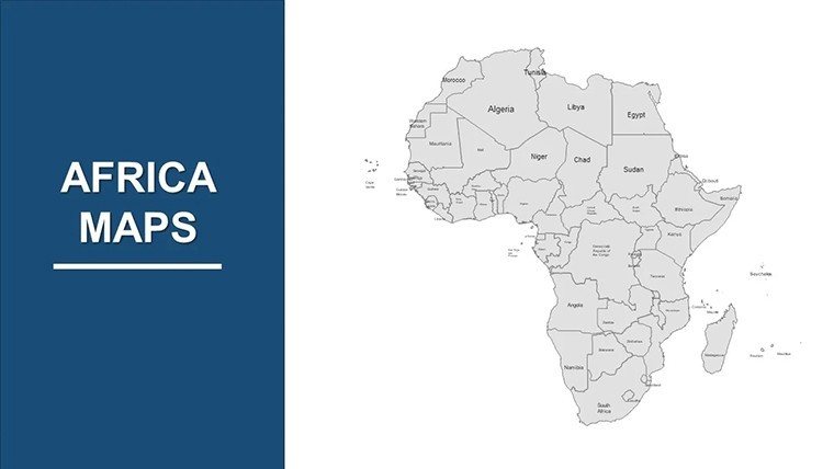
Africa Countries PowerPoint Maps: Continental Canvas


Type: PowerPoint Maps template
Category: Africa
Sources Available: .pptx
Product ID: PM00008
Template incl.: 37 editable slides
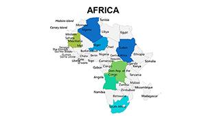
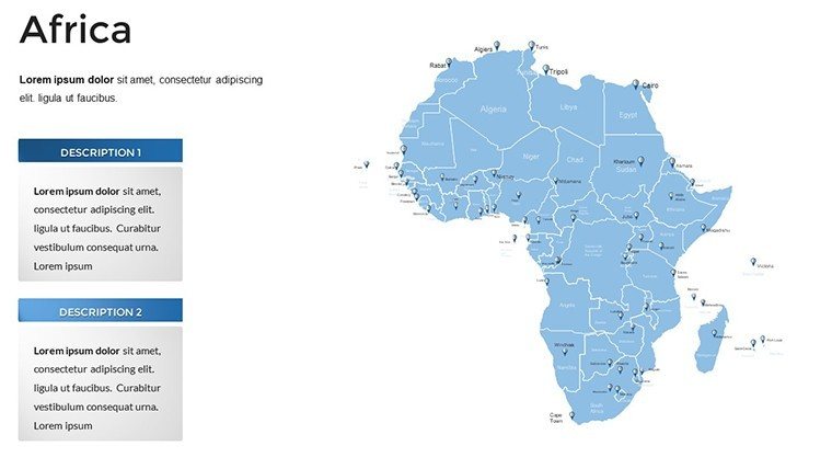
Africa's 54 nations pulse with history, innovation, and opportunity - from the Sahara's expanses to the Congo Basin's rainforests. Our Africa Countries PowerPoint Maps Template captures this breadth in 37 editable slides, offering a full continental map plus dedicated pages for each country, complete with flags and key facts. Designed for global professionals, educators, and analysts, it facilitates presentations that bridge cultures and continents with accuracy and elegance.
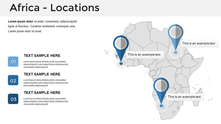
Whether dissecting trade corridors in the East African Community or highlighting biodiversity in South Africa's Kruger National Park, this .pptx template provides the framework. High-resolution maps detail boundaries, capitals, and major cities, informed by sources like the African Union and UN data, ensuring your visuals stand up to scrutiny in international forums.
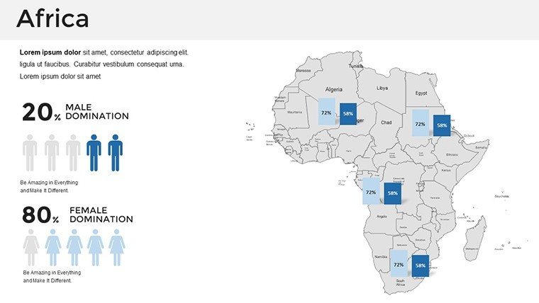
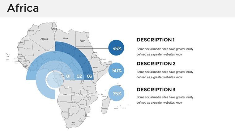
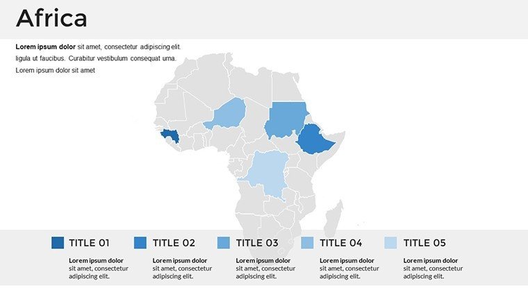
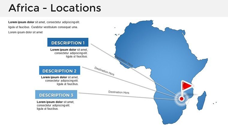
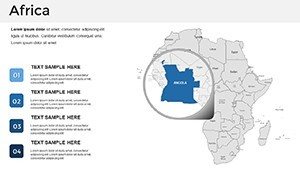
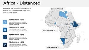
With its expansive scope, the template supports layered storytelling: Start broad with pan-African overviews, then zoom into specifics like Nigeria's oil regions or Kenya's tech hubs. Icons and color schemes evoke the continent's vibrancy, making complex geopolitical or economic data accessible and inspiring.
Standout Features for Africa-Wide Presentations
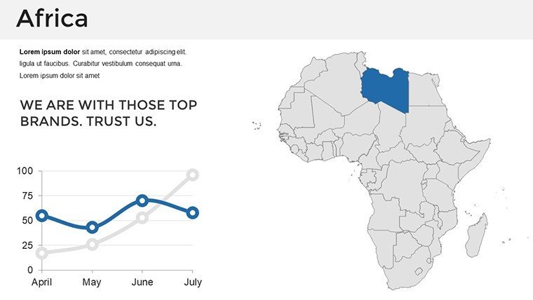
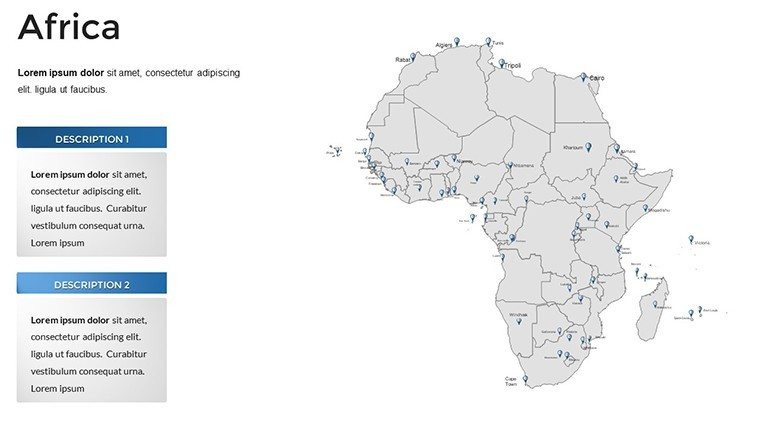
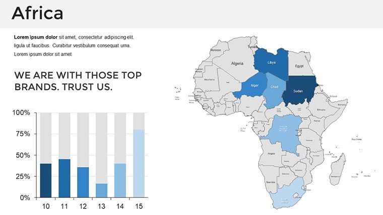
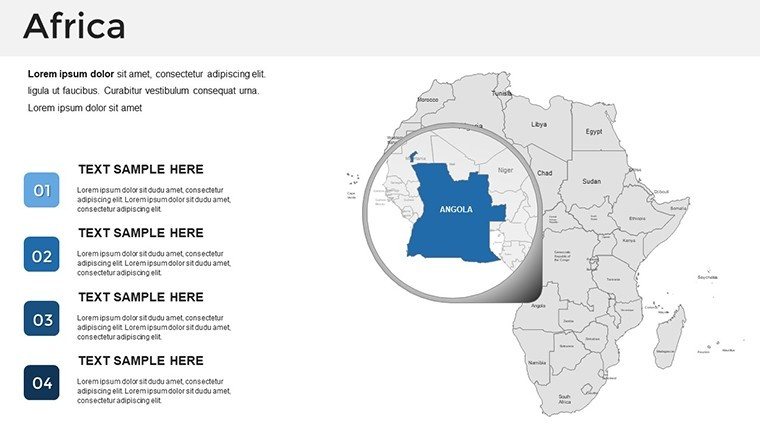
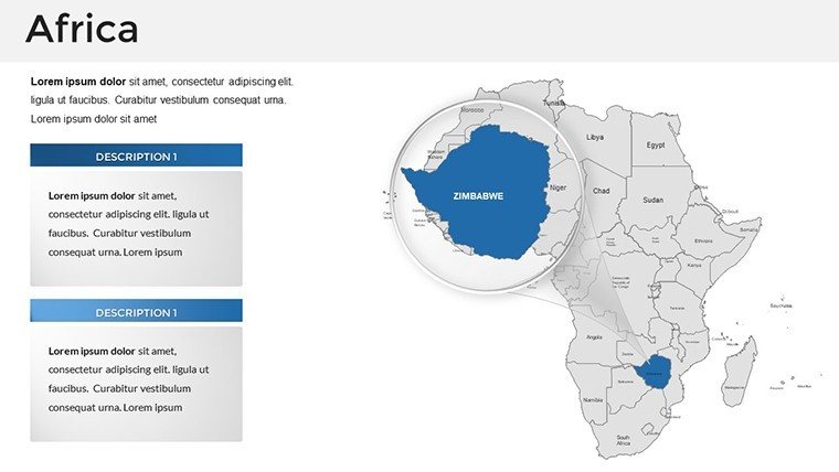
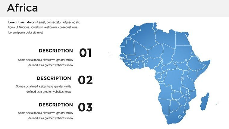
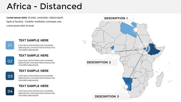
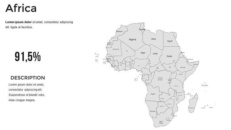
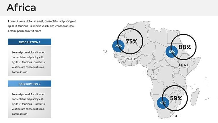
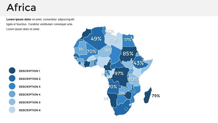
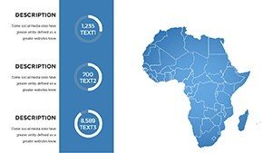
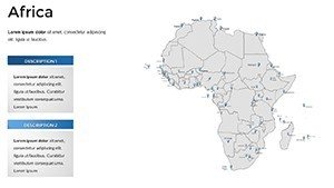
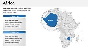
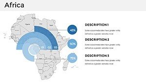
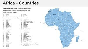
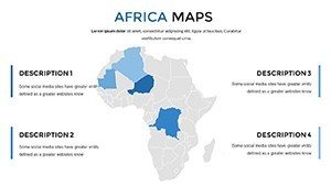
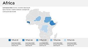
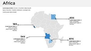
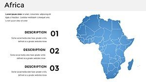
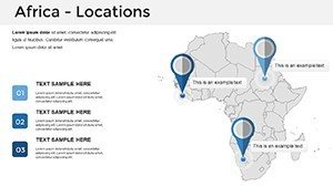
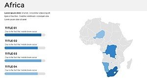
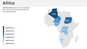
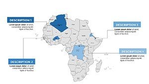
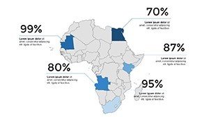
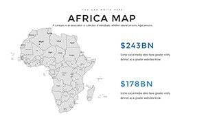
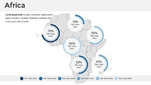
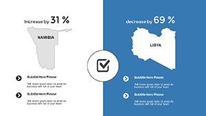
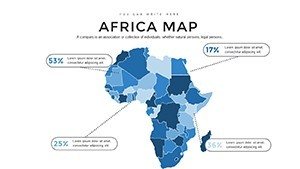
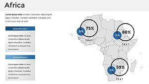
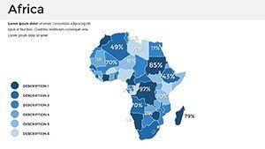
This 37-slide collection is a treasure trove of geospatial tools. Individual country slides include outline maps, national flags, and info placeholders for GDP, population, or cultural notes, while the overview slide integrates all for comparative analysis.
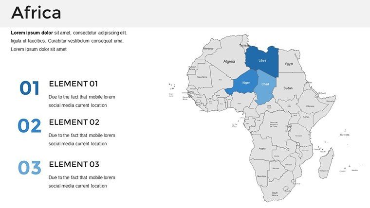
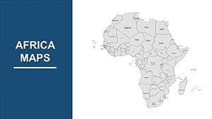
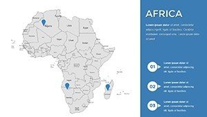
- Comprehensive Coverage: Every nation represented, from Algeria to Zimbabwe, with scalable vectors for any projection.
- Flag and Symbol Integration: Authentic emblems for instant recognition, customizable for emphasis.
- Boundary Precision: Updated to reflect current geopolitics, useful for discussions on unions like ECOWAS.
- Multi-Format Flexibility: Widescreen support and export options for reports or webinars.
Geographers and NGOs, for instance, praise its utility in mapping refugee movements, citing UNHCR reports for layered authenticity.
Advanced Customization Techniques
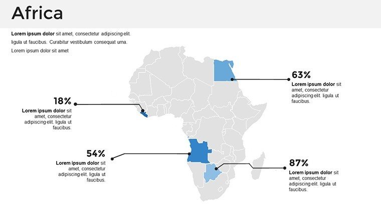
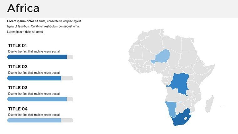
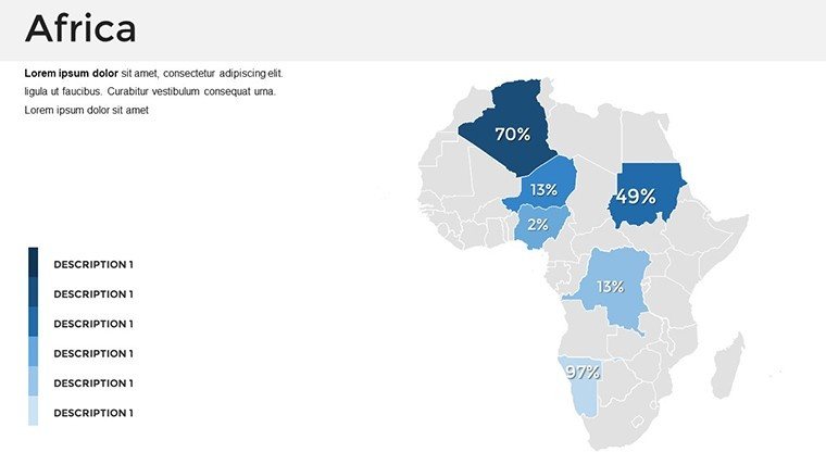
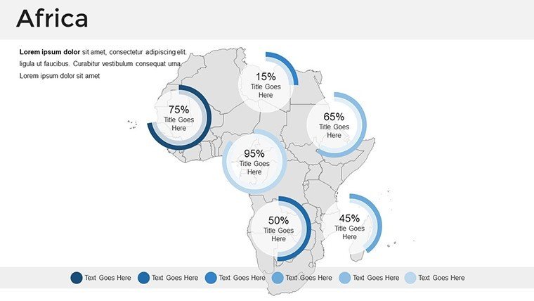
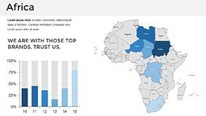
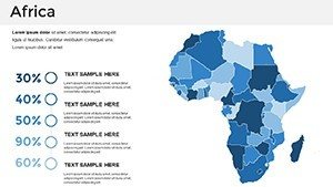
Begin with the master slide to set a unified theme - earthy tones for savannas or blues for coastal states. Animate continent-wide reveals to introduce regional focuses, or embed hyperlinks to external resources like World Bank indicators. In economic pitches, use gradient maps for development indices, following best practices from the African Development Bank for data visualization.
Diverse Applications from Classroom to Boardroom
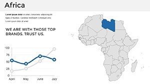
Educators map ancient trade routes like the Silk Road extensions, engaging students with interactive quizzes on slides. Businesses explore market entries, such as solar projects in Morocco, visualizing supply chains across the Maghreb.
Researchers present climate resilience strategies, charting impacts from the Sahel to the Cape, supported by IPCC findings. NGOs highlight aid distributions in Ethiopia's highlands, while policymakers discuss AU initiatives with comparative tables. A compelling case: An international firm used this template for an investment summit, mapping opportunities in Rwanda's innovation city, clinching partnerships.
Tourism sectors craft safaris across Tanzania's Serengeti, integrating wildlife migration paths for immersive narratives.
Phased Workflow for Optimal Use
- Download Access: Retrieve the file and browse the 37 slides via thumbnails.
- Content Loading: Populate with stats from reliable global databases.
- Styling: Harmonize colors to represent biomes - greens for equatorial zones, yellows for deserts.
- Dynamic Elements: Add transitions for country spotlights in sequence.
- Validation and Launch: Cross-check facts, then deliver with global impact.
Superior to fragmented free maps, this integrated set fosters cohesive, professional outputs.
Global Reach Through Visual Excellence
Emphasizing , the template incorporates multilingual placeholders and accessibility features like descriptive alts. It integrates with GIS tools for pros, yet remains approachable for beginners. The essence? Empowering users to foster cross-cultural dialogue, from sustainable development goals to cultural exchanges.
Embrace Africa's story fully. Acquire the Africa Countries PowerPoint Maps Template today and navigate the continent's complexities with confidence and clarity.
Frequently Asked Questions
How many countries are covered?All 54, with individual slides plus an overview map.
Flag accuracy?High-fidelity reproductions, editable for variations.
Data embedding options?Supports charts, images, and links for enriched content.
Version compatibility?PowerPoint 2010+, with Google Slides adaptation.
Commercial viability?Yes, royalty-free for all professional uses.
Update frequency?Based on current boundaries; user-editable for changes.