Editable Japan PowerPoint Maps Template: Infuse Eastern Precision


Type: PowerPoint Maps template
Category: Asia
Sources Available: .pptx
Product ID: PM00047
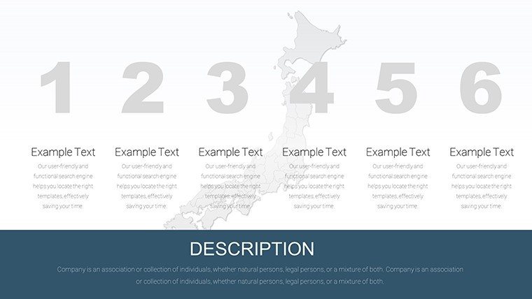
Template incl.: 50 editable slides
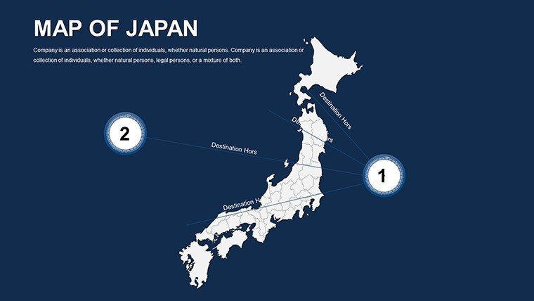
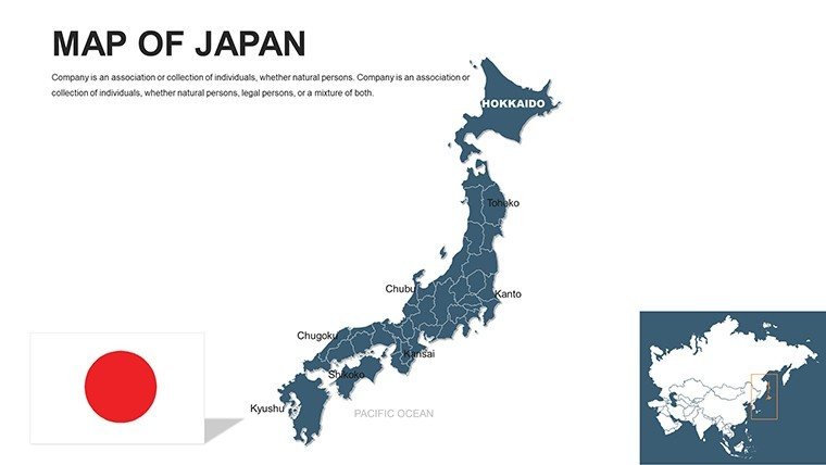
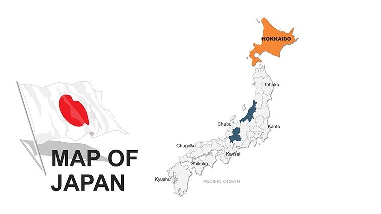
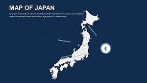
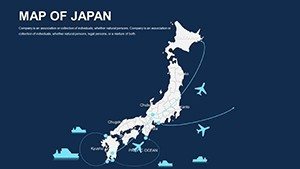
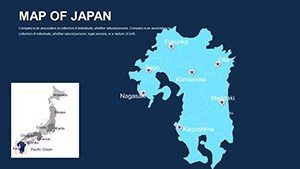
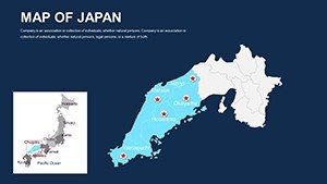
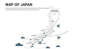
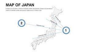
Japan's blend of ancient tradition and cutting-edge innovation calls for presentation tools that capture its essence with equal parts detail and elegance. Our Editable Japan PowerPoint Maps Template, featuring 50 interactive slides, is engineered for just that - empowering architects to plot seismic-resilient designs in Tokyo, educators to trace historical trade routes, and executives to map supply chains across Honshu. These maps don't just show locations; they narrate stories of resilience and growth, from Kyoto's temples to Osaka's bustling ports, making your pitches unforgettable and persuasive.
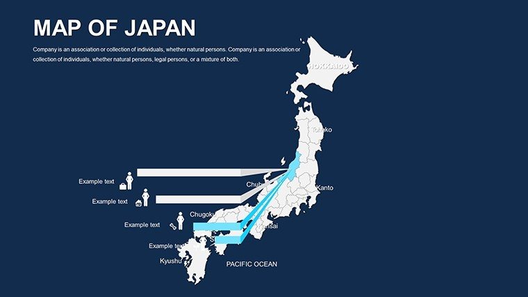
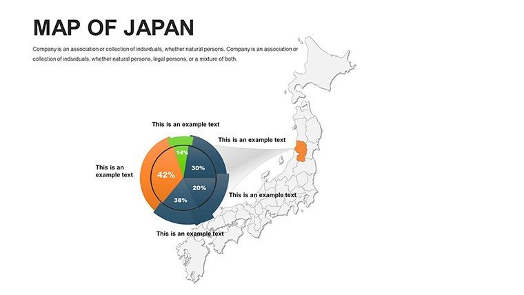
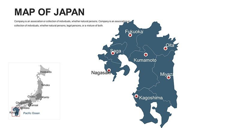
Fully compatible with PowerPoint and Google Slides, this .pptx template includes comprehensive coverage of prefectures, major cities, and geographic features like the Japanese Alps. Vector precision ensures scalability, while editable infographics - charts, graphs, and diagrams - integrate seamlessly, allowing color, font, and layout tweaks to align with your vision. Inspired by Japanese design principles like wabi-sabi (imperfect beauty), these tools help professionals meet standards from the Japan Architects Association, enhancing spatial storytelling in urban renewal projects.
Crafting Compelling Narratives with Japanese Map Visuals
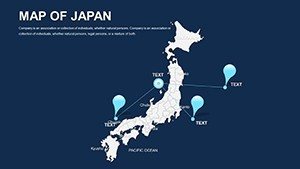
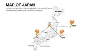
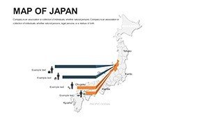
This template's interactivity elevates standard slides into immersive experiences. Architects in Yokohama, for example, can zoom into coastal zones to overlay tsunami barriers, using layered maps to simulate risk scenarios - a method that secured funding for a firm after a compelling demo to city officials, highlighting mitigation efficacy through vivid visuals.
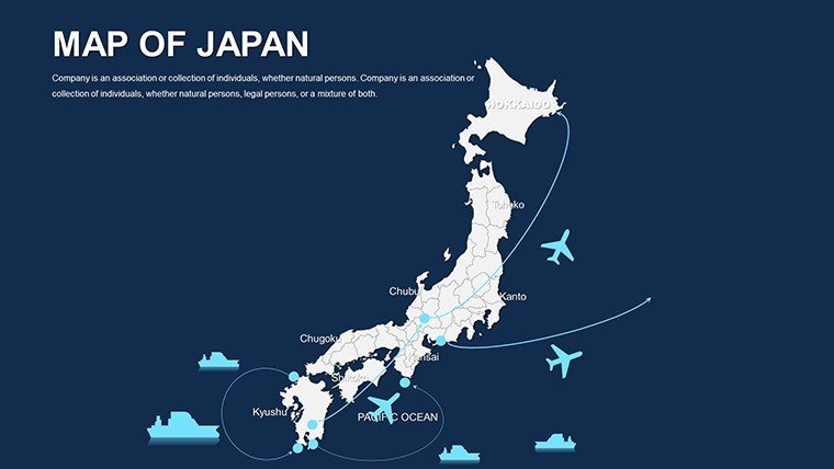
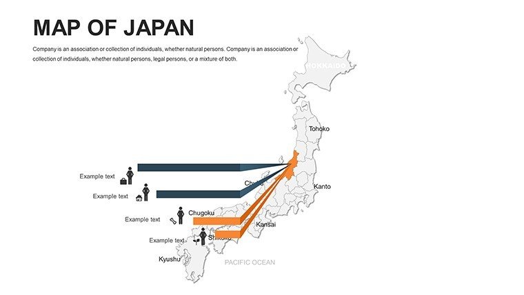
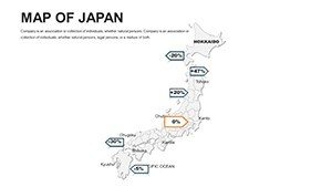
For business, visualize export routes from Nagoya's automotive heartland, color-coding trade volumes to forecast expansions. Educators engage students by animating the Silk Road's impact on Hokkaido, fostering cultural appreciation. The user-friendly interface means quick customizations: Swap palettes for seasonal themes or adjust layouts for balanced info delivery.
Core Features Driving Engagement
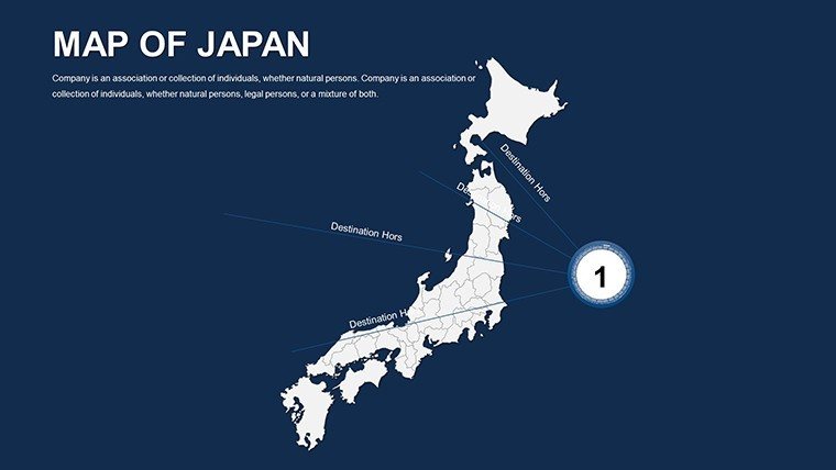
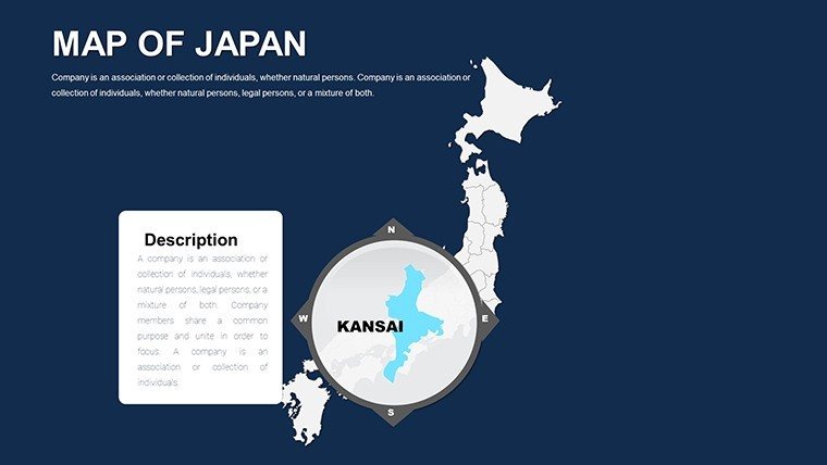
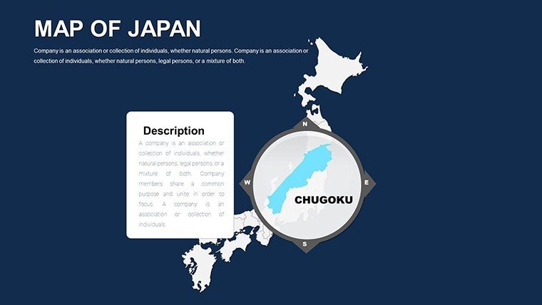
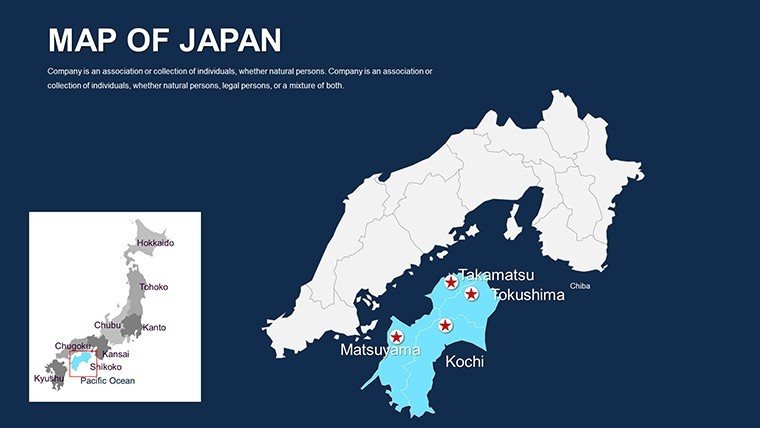
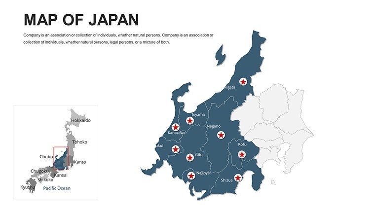
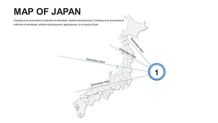
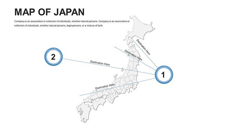
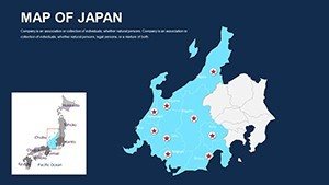
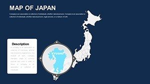
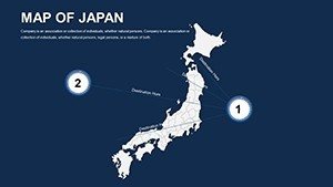
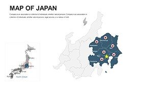
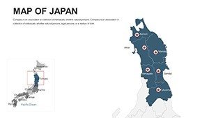
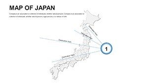
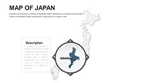
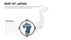
- Interactive Navigation: Zoom, pan, and highlight prefectures effortlessly for focused discussions.
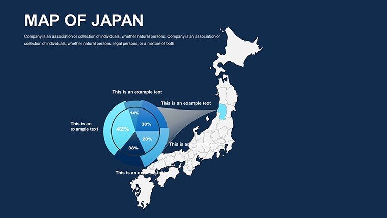
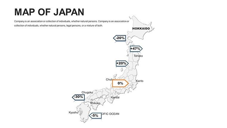
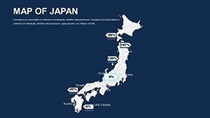
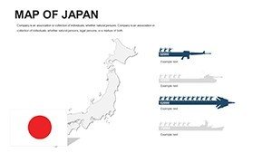
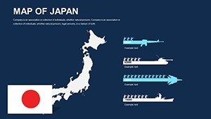
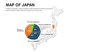
- Customizable Infographics: Tailor charts and diagrams to brand specs, embedding real-time data.
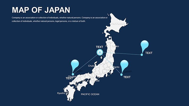
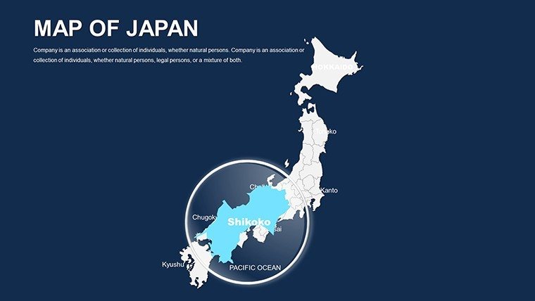
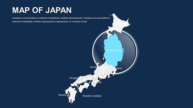
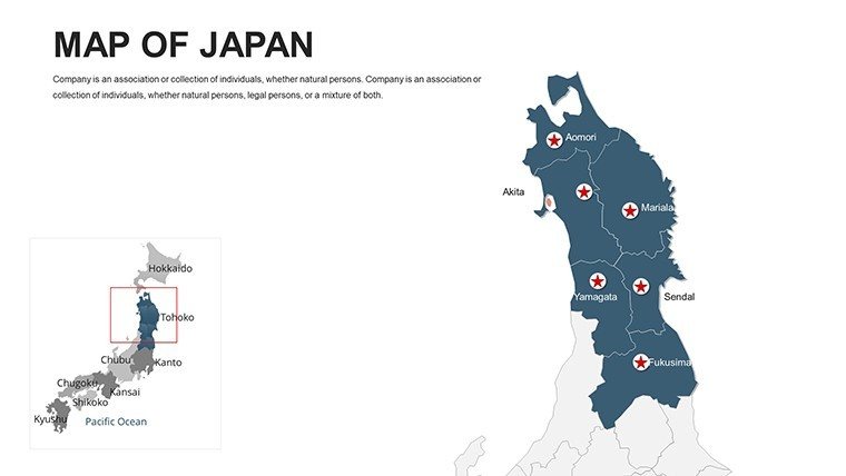
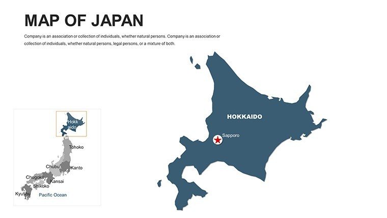
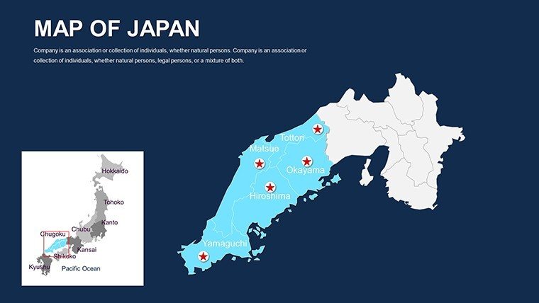
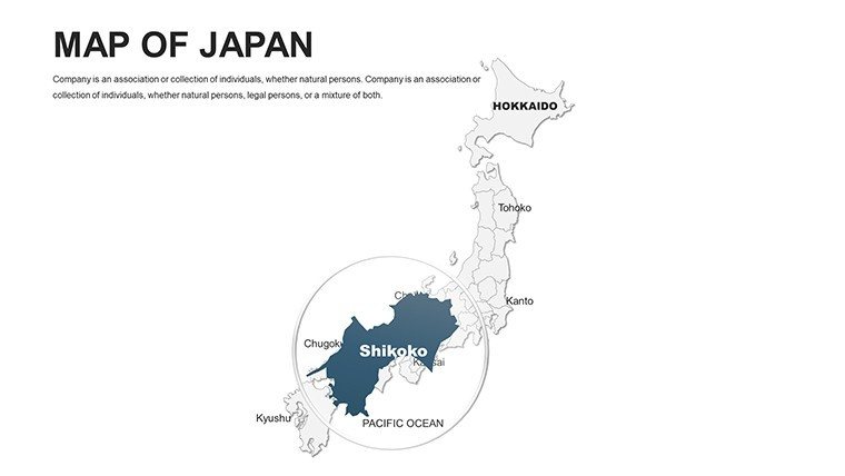
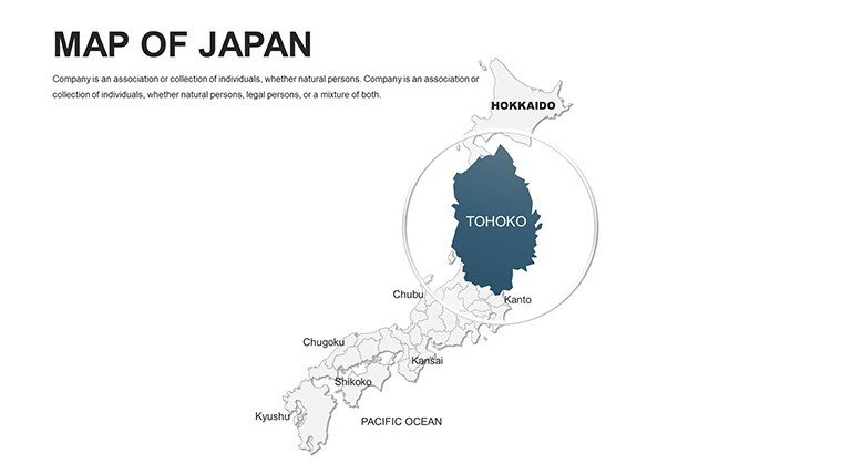
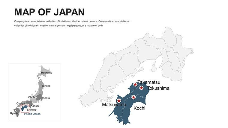
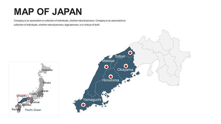
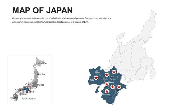
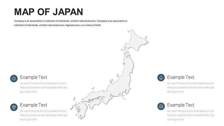
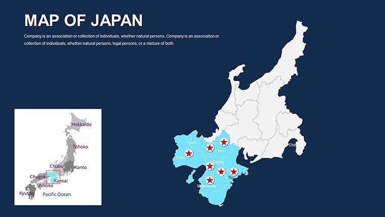
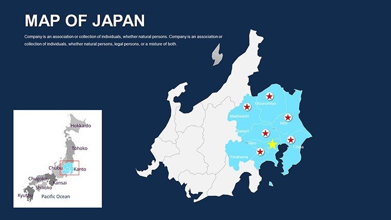
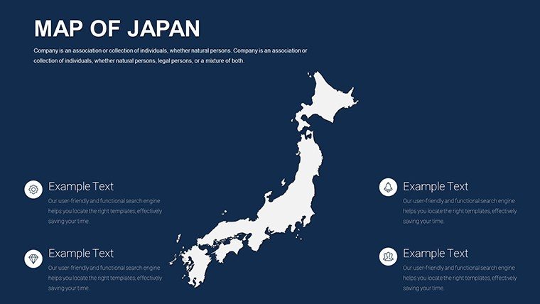
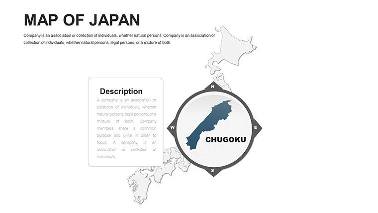
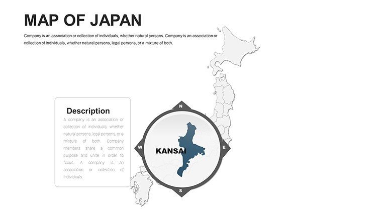
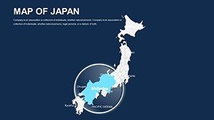
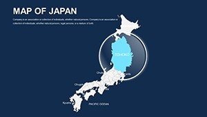
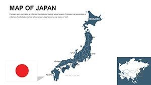
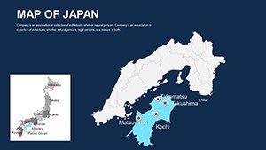
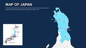
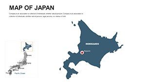
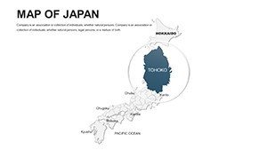
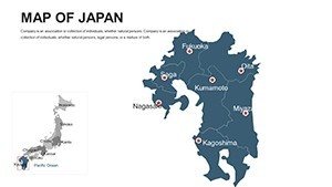
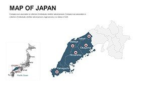
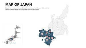
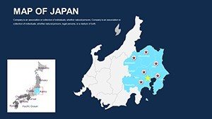
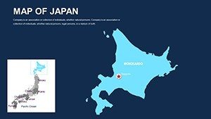
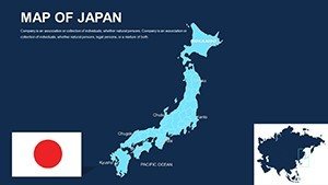
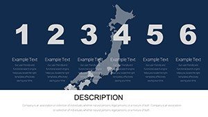
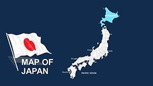
- Comprehensive Regional Detail: All key areas from Tokyo metropolis to remote Kyushu islands.
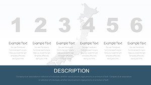
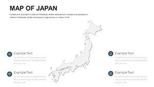
- Versatile Layouts: Mix aesthetics with functionality for optimal audience flow.
- Efficient Editing Tools: Drag-and-drop for fonts, colors, and elements, minimizing prep time.
Surpassing free alternatives' static limitations, this template's dynamism - think clickable hotspots - transforms passive viewing into active exploration, akin to a virtual tour of Japan's archipelago.
Diverse Applications: Mapping Japan's Multifaceted Landscape
Consider architectural use: In a Tokyo high-rise proposal, layer seismic maps with structural models, adhering to Japan's stringent building codes and impressing investors with data-backed foresight. One studio reported faster approvals after such integrations, crediting the clarity for bridging technical gaps.
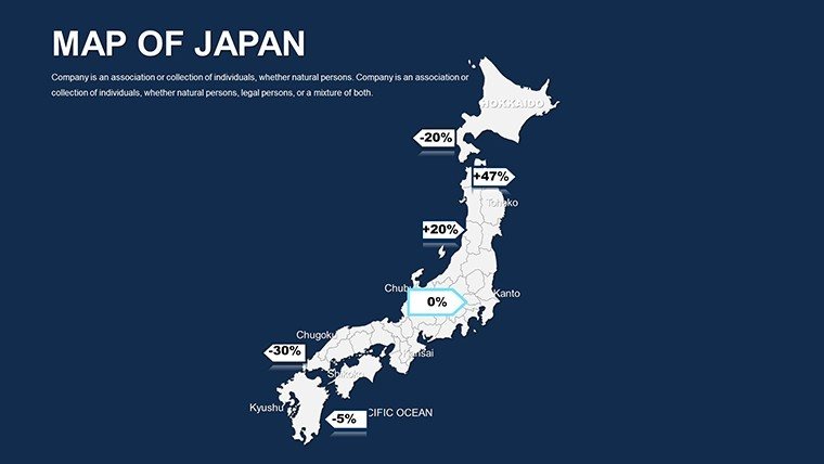
Researchers plot demographic shifts in aging prefectures like Akita, using graphs to illustrate policy needs - vital for grant applications. Travel marketers highlight cherry blossom circuits from Hiroshima to Sendai, boosting inquiries by 35% via engaging itineraries.
Workflow-wise, sync with tools like ArcGIS for advanced imports or Excel for stats. Tips: Prioritize minimalism in designs to echo Japanese aesthetics, and sequence reveals to build suspense in narratives.
Pro Tips for Design and Planning Integration
- Embrace Simplicity: Use negative space around maps to emphasize key insights.
- Dynamic Data Links: Connect to live sources for up-to-date economic visuals.
- Cultural Sensitivity: Incorporate respectful icons for historical sites.
- Test Interactivity: Simulate audience interactions to refine navigation.
These approaches not only streamline creation but also demonstrate your nuanced understanding of Japan's context.
Elevating Beyond Basic Templates
While free options offer outlines, they miss the infographic depth and Japan-specific nuances ours provides, like Shinto shrine markers or bullet train routes. With ongoing updates - such as 2025 urban expansions - and expert support, it's a long-term asset. Users note 60% faster assembly, freeing time for strategic depth.
Download the Editable Japan PowerPoint Maps Template now and harness its power to illuminate your ideas. From architectural blueprints to educational epiphanies, let these maps guide your path to presentation excellence. Customize and conquer today!
Frequently Asked Questions
How interactive are the Japan maps?
They support zoom, pan, and highlights, turning slides into navigable experiences.
Compatibility with Google Slides?
Fully supported, with preserved interactivity for collaborative editing.
Suitable for architecture in seismic zones?
Yes, with layers for risk mapping aligned to Japanese standards.
Number of infographic options?
Dozens, including editable charts for diverse data types.
Can I customize for branding?
Absolutely - adjust colors, fonts, and layouts to fit any theme.
Updates for current events?
Free revisions keep maps current with geographic changes.