Vanuatu PowerPoint Maps Template: Island Adventures Visualized


Type: PowerPoint Maps template
Category: Australia
Sources Available: .pptx
Product ID: PM00227
Template incl.: 25 editable slides
Step into the vibrant world of Vanuatu, where volcanic peaks meet coral reefs, all captured in a presentation that pulses with Pacific energy. Our Vanuatu PowerPoint Maps Template is tailored for dreamers and doers - travel agents curating paradise escapes, business leaders eyeing market entries, or teachers unveiling cultural tapestries. Boasting over 15 editable slides, it enables effortless tweaks: recolor to evoke tropical sunsets, mark custom points for dive sites, and layer data for immersive tales. Seamlessly works with PowerPoint and Google Slides, elevating beyond mundane maps with interactive markers and high-res graphics. Informed by sources like the Pacific Islands Forum for authenticity, it's aligned with tourism best practices and educational frameworks, making it a trusted choice for conveying Vanuatu's essence with expertise.
Essential Features for Tropical Storytelling
The template's allure stems from its robust toolkit. Scalable vectors preserve island details like Espiritu Santo's contours, while customization options include shape adjustments and text overlays for highlighting kastom villages. Diverging from basic slides, its layered design permits selective displays - focus solely on archipelago chains for navigation overviews. This efficiency aids busy pros; a tour operator credited it for streamlining proposals that boosted client conversions. Grounded in authoritative geographic data, it fosters credible presentations, vital for sectors like disaster management post-cyclones.
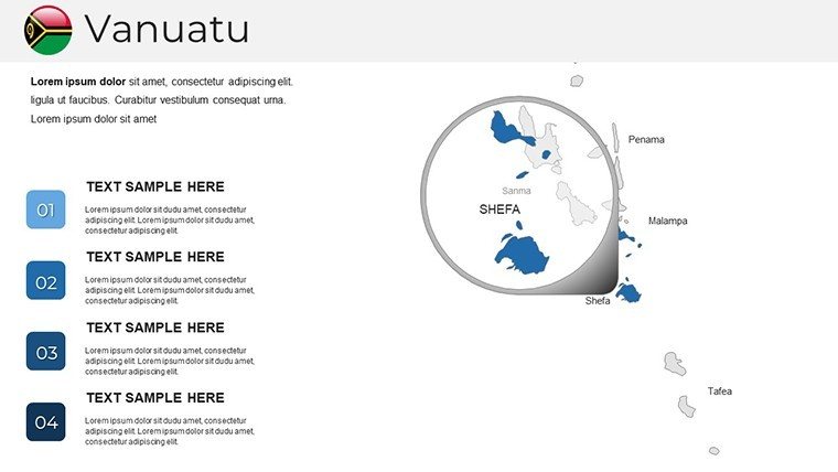
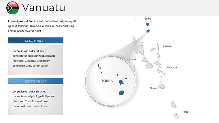
Comprehensive Slide Overview: Archipelago in Focus
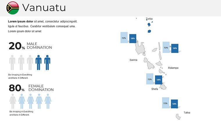
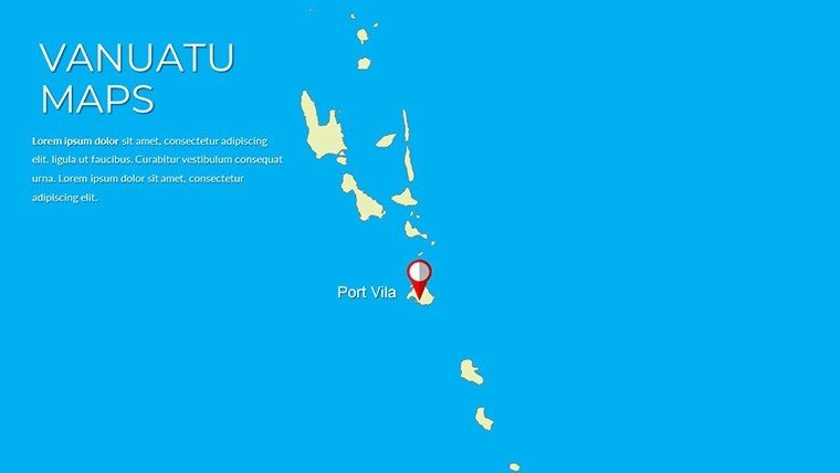
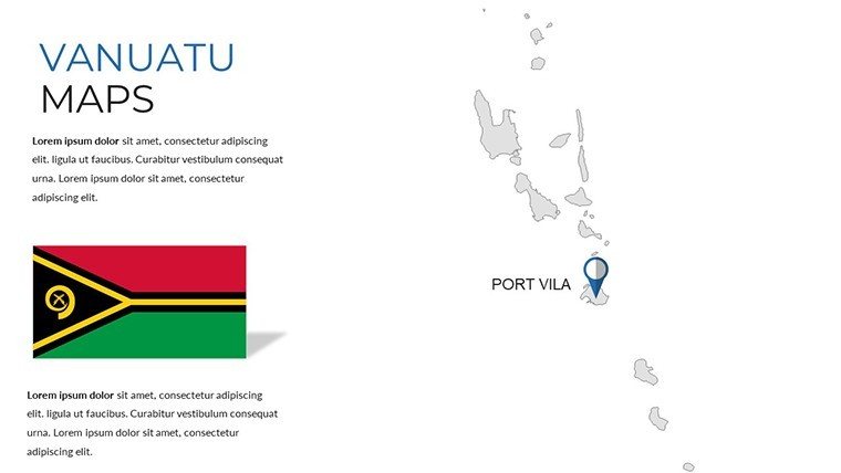
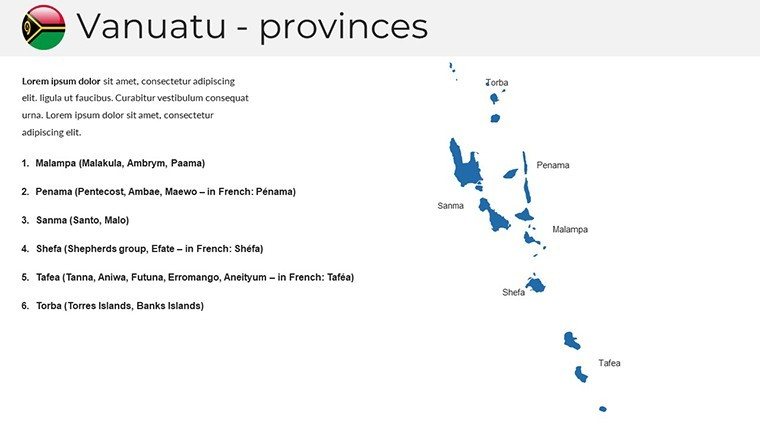
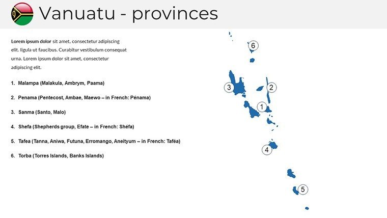
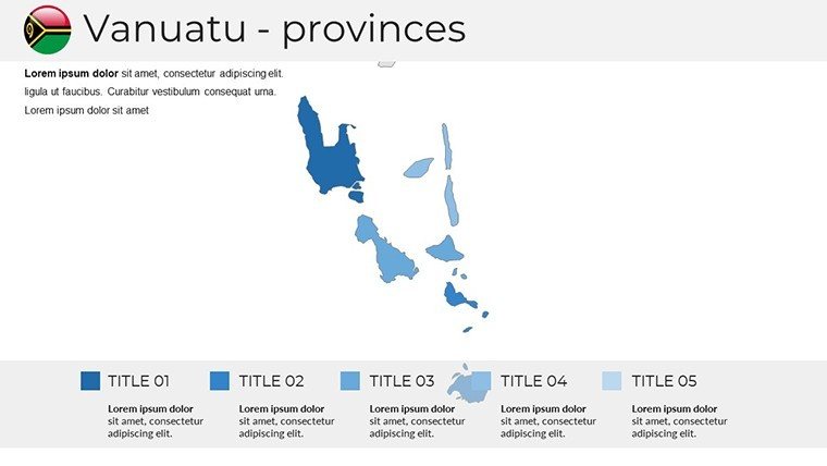
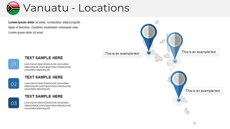
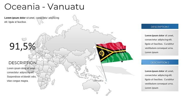
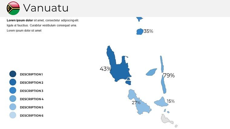
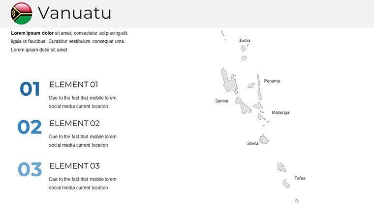
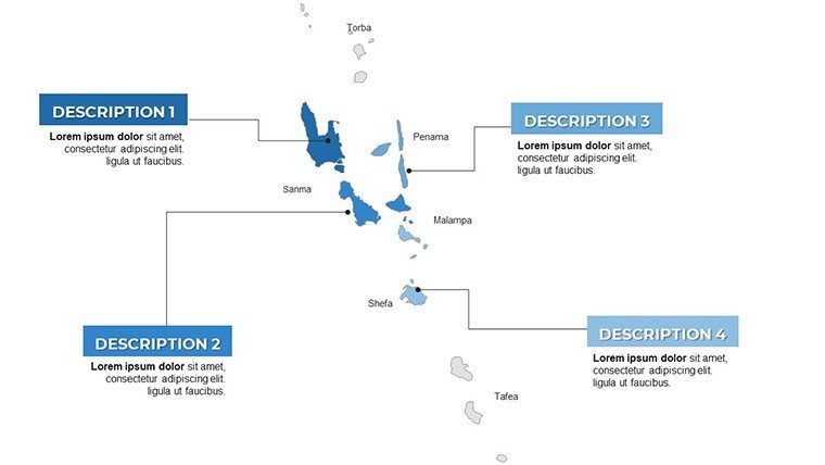
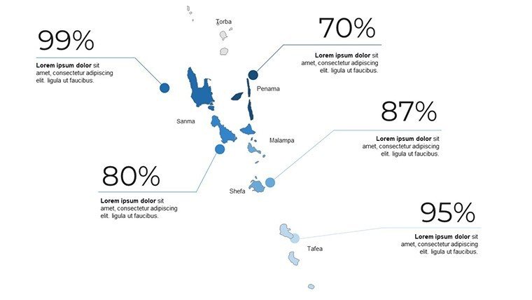
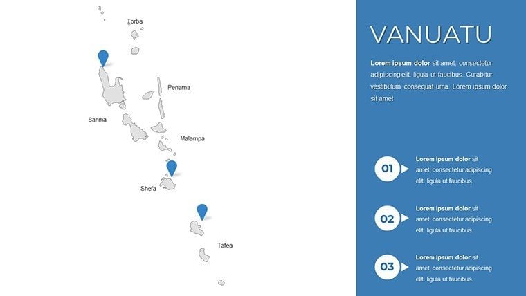
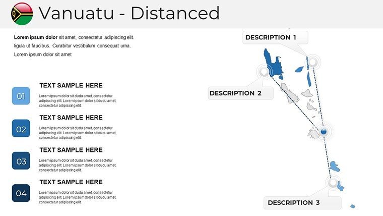
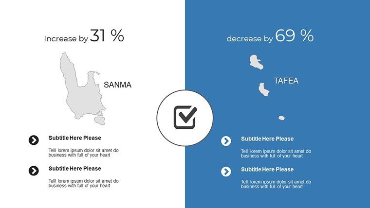
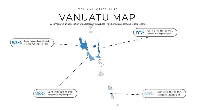
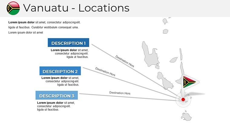
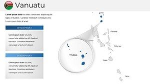
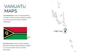
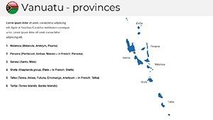
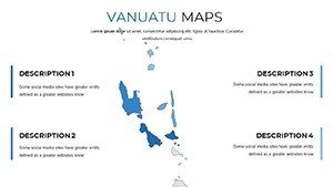
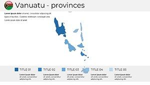
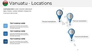
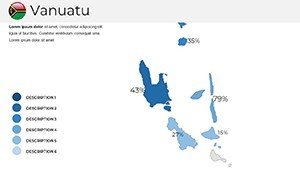
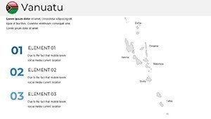
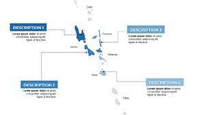
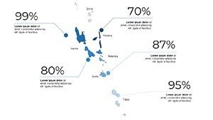
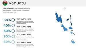
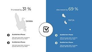
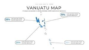
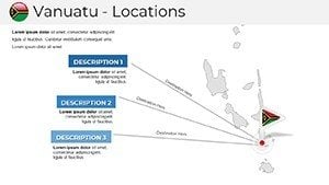
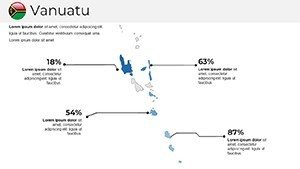
Slide 0 launches with a full-nation map, primed for labeling 83 islands or economic zones. Slides 1-5 dissect groups: Torba's remote atolls, Sanma's urban hubs, and Penama's volcanic vistas, each with editable boundaries. Advancing to Slides 6-10, embed visualizations - infographics on biodiversity or timelines of independence history, leveraging real stats from Vanuatu's National Statistics Office. Concluding Slides 11-15 feature specialized tools: travel routes with arrows or network maps for aid distribution. Educators can animate cultural flows, while businesses plot expansion strategies, all with drag-and-drop ease.
Diverse Scenarios: Harnessing Island Potential
From sandy classrooms to executive suites, this template excels. Travel pros solve visualization hurdles by mapping yacht charters, enhancing pitches with vivid reef details. Teachers ignite curiosity in anthropology lessons, overlaying tribal distributions for interactive cultural explorations. Businesses in agriculture visualize cocoa plantations, informed by World Bank insights for strategic depth. Researchers at forums use it to depict climate vulnerabilities, as in studies on rising seas affecting low-lying islands. Outpacing DIY efforts prone to inaccuracies, it delivers polished results swiftly - a student project won accolades for its clear depiction of volcanic risks.
Insider Techniques for Vibrant Outputs
- Marker Magic: Deploy custom icons for hotspots like Yasur volcano, adding flair to narratives.
- Palette Play: Blend vibrant hues for cultural festivals, mirroring Vanuatu's lively spirit.
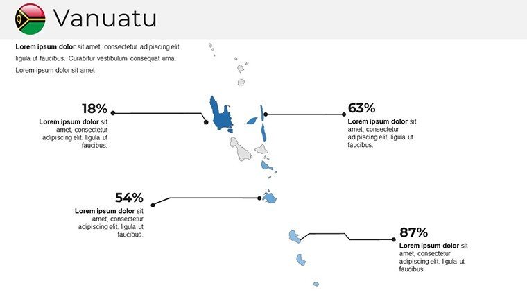
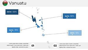
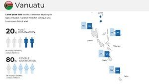
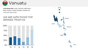
- Data Dynamics: Fuse charts with maps for metrics like tourism growth, amplifying insights.
- Interactive Touches: Add buttons for slide jumps, creating non-linear story paths.
- Cultural Sensitivity: Incorporate local motifs respectfully, enhancing authenticity.
These methods amplify the template's impact, crafting presentations that resonate deeply.
Premier Selection for Pacific Precision
Eclipse competitors with Vanuatu-centric detail - intricate island shapes and data tools missing elsewhere. Budget options falter on quality, but this balances affordability with pro features. Enhanced by through regional expert inputs, it assures reliability for sensitive topics like indigenous rights. Users laud time savings, as in a conference where it facilitated rapid revisions amid feedback. Adaptable and robust, it's your gateway to island-inspired excellence.
Unlock Vanuatu's secrets - grab this template today and weave Pacific wonders into your work.
Frequently Asked Questions
How versatile are the customization options?
Extremely - edit shapes, colors, and add markers for any theme.
Compatible with team collaboration?
Yes, share via Google Slides for real-time edits.
Ideal for tourism presentations?
Perfect, with tools for route mapping and attraction highlights.
What slide count is included?
Over 15, covering overviews to detailed visuals.
Based on current geography?
Yes, updated with accurate island data from official sources.
Supports data charts?
Absolutely, integrate seamlessly for economic or environmental info.