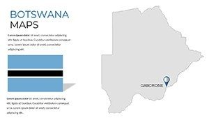
Botswana PowerPoint Maps Template: Delta into Diamond Dynamics


Type: PowerPoint Maps template
Category: Africa
Sources Available: .pptx
Product ID: PM00223
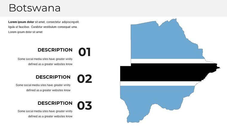
Template incl.: 37 editable slides
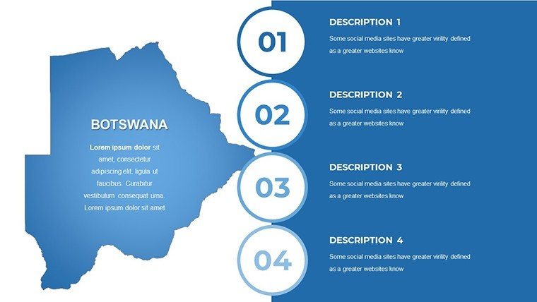
Picture the Okavango Delta's labyrinthine waterways teeming with elephants, juxtaposed against the glittering output of Jwaneng's diamond pits - a duality of nature's bounty and human ingenuity that defines Botswana. Our Botswana PowerPoint Maps Template encapsulates this in 37 editable slides, a vital ally for conservationists charting wildlife corridors, miners pitching resource strategies, or professors unpacking Southern Africa's ecological enigmas. More than outlines, these maps are dynamic dialogues, inviting your data to dance across the Kalahari's canvas.
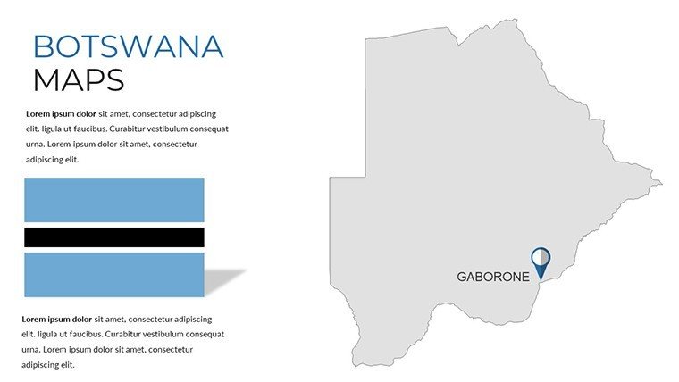
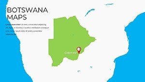
Forged with insights from Botswana's Department of Surveys and geospatial vets, the template ensures fidelity to the latest 2024 delineations. Tailor it to underscore Gaborone's urban pulse or the Chobe's migratory marvels, with a design ethos rooted in sustainable storytelling. PowerPoint-native yet Google Slides-ready, it's engineered for the field operative or the corner office alike.
Core Elements: Mapping Botswana's Multifaceted Terrain
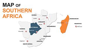
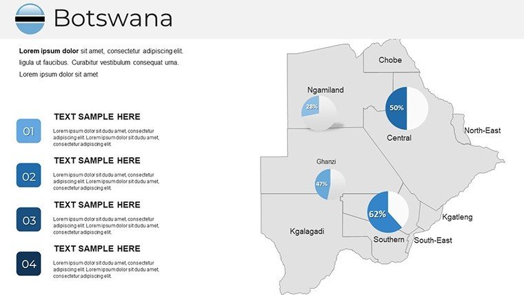
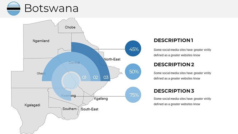
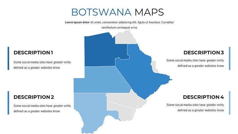
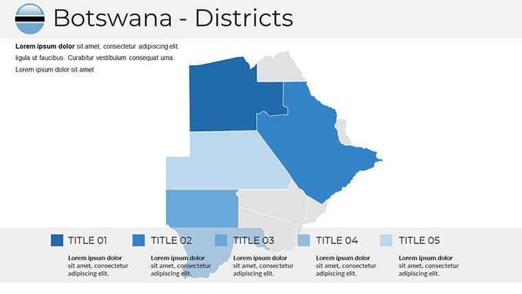
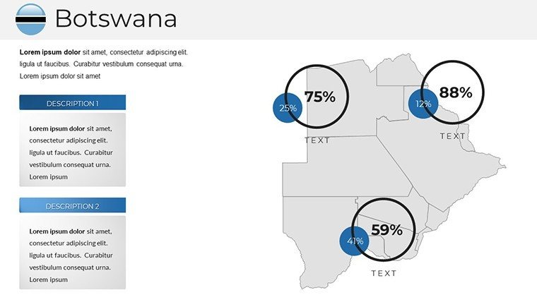
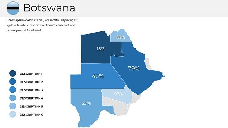
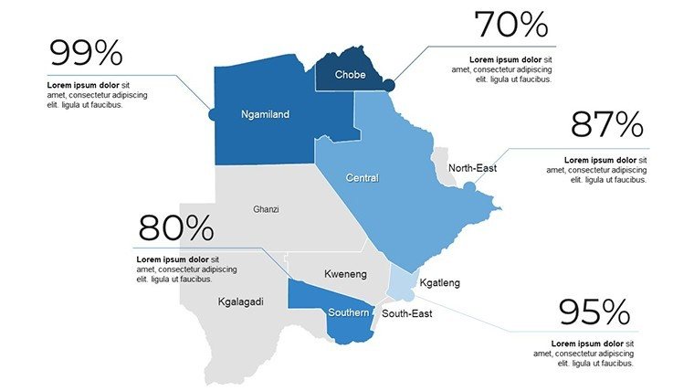
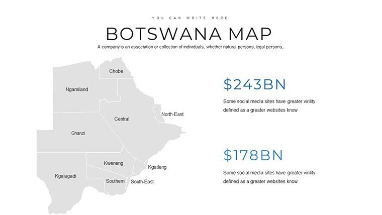
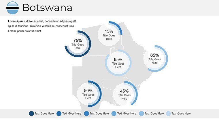
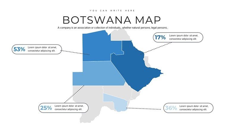
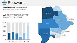
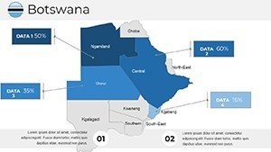
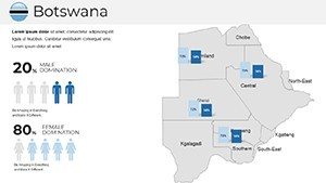
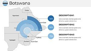
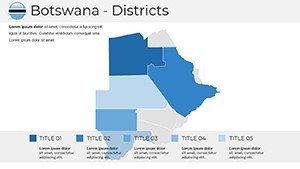
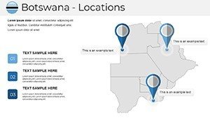
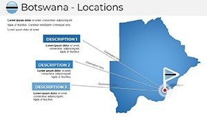
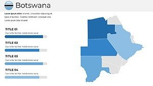
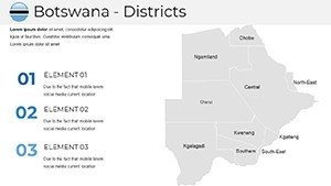
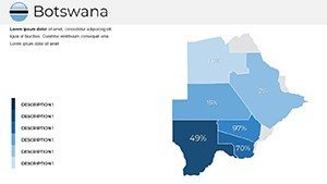
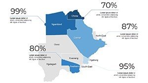
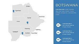
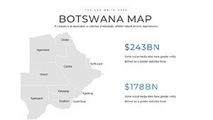
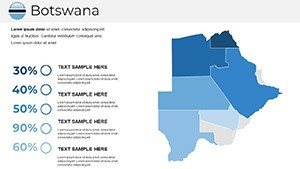
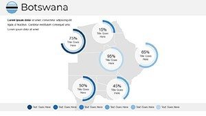
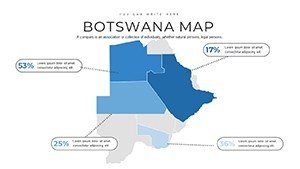
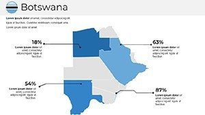
Versatility defines the deck. The biome breakdown slide segments savannas, deserts, and wetlands with gradient fills, ripe for biodiversity audits. Spotlight the resource radar map, circling mining concessions with value-coded rings for Orapa's output visuals.
- Faunal Footprints: 45 icons of Big Five and endemic species, path-traceable for anti-poaching routes.
- Hydrology Highlights: Vector rivers and pans, animatable for flood simulations in climate talks.
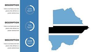
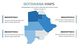
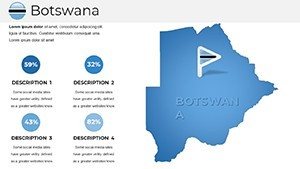
- Economic Enclaves: Zoned for tourism vs. extraction, with embeddable KPIs like eco-lodge revenues.
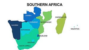
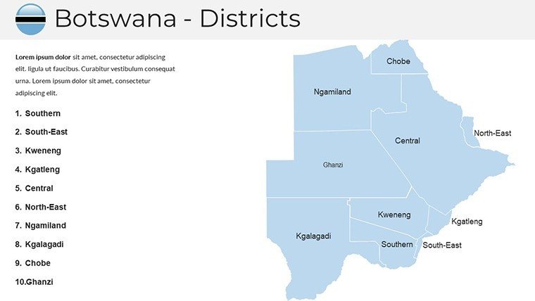
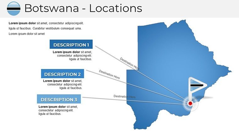
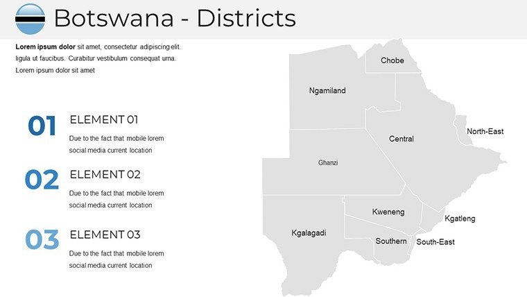
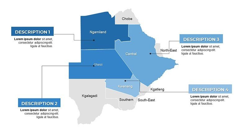
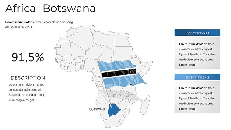
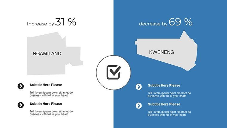
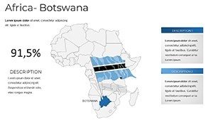
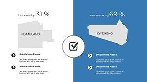
- Border Buffers: Detailed with Namibia and Zimbabwe interfaces, for cross-border initiative planning.
A Gaborone NGO used these for a funding gala, mapping conservation ROI to secure a $2M grant - visuals that converted skeptics to stewards.
Blueprint to Brilliance: Editing Essentials
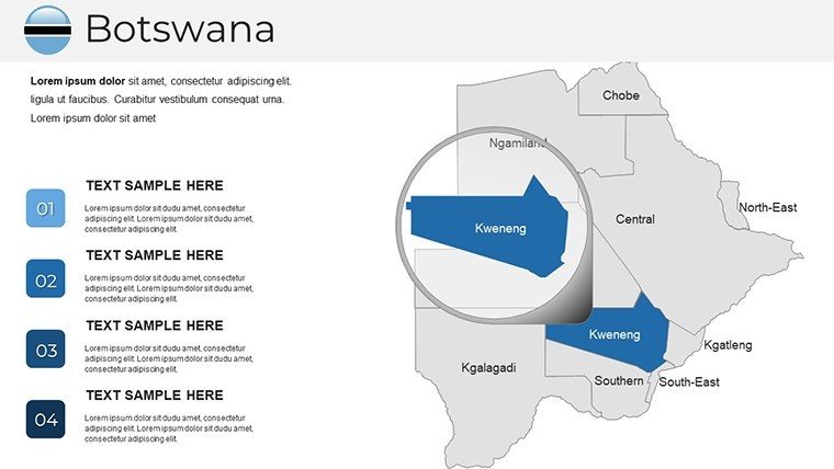
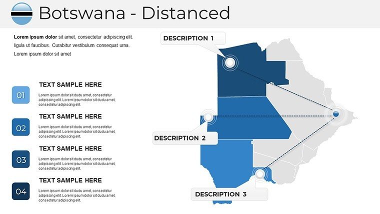
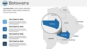
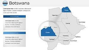
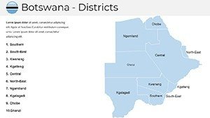
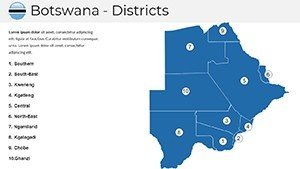
- Delta Dive-In: Access the sorter for clusters - pan-Botswana vistas to delta deep-dives like Moremi Game Reserve.
- Refine Resources: Recolor pans for drought emphasis or scale mine icons by tonnage via data-driven graphics.
- Motion Mastery: Herd animations across plains, syncing with narration for immersive eco-tours.
- Harvest Horizons: Batch-export to interactive PDFs, ideal for stakeholder apps.
Efficiency incarnate: A Witwatersrand researcher trimmed fieldwork reports by 60%, overlaying GPS tracks on the template's terrain.
Botswana Boundless: Use Cases Unleashed
Corporate raiders map gemstone supply chains from Maun to markets, with risk heatmaps for ethical sourcing. A Johannesburg firm clinched a De Beers partnership via our extraction slides.
Academics animate San rock art locales, layering ethnographic notes for cultural anthropology. In research, ecologists forecast lion prides' ranges amid habitat loss, bolstering IUCN submissions.
Superior to Stock: The Botswana Benchmark
Generic grids ignore the Makgadikgadi's salt flats; ours renders them with topographic nuance. LSI-laden like "Okavango anabranches" or "Kalahari aquifers," it trumps bland blanks.
Augment with QGIS imports for volumetric sands, upholding SADC geospatial norms.
Gems of Guidance: Expert Edits
Hook with paradox: "Botswana: Paradise paved with diamonds?" Scale wisely - broad for policy, granular for grants. Humor hint: "Where zebras outnumber spreadsheets."
Embed AR links for delta flyovers; ensure AA compliance with descriptive tags. Theme swaps for wet vs. dry seasons keep it fresh.
Prospect prosperity: Secure the Botswana PowerPoint Maps Template at once and unearth your deck's diamonds. Adventure calls.
Frequently Asked Questions
How detailed are the delta mappings?
Intricate channels and islands, sourced from 2024 aerial surveys for precision.
Supports wildlife tracking overlays?
Yes, with geofence tools and species migration templates.
Compatible with research software?
Seamlessly exports to formats for R or Python viz integrations.
Can I focus on mining districts?
Dedicated slides with concession boundaries and yield projections.
What's the update frequency?
Annual refreshes tied to national census data.