Egypt PowerPoint Maps Template: Chart the Nile's Eternal Flow


Type: PowerPoint Maps template
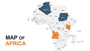
Category: Africa
Sources Available: .pptx
Product ID: PM00222
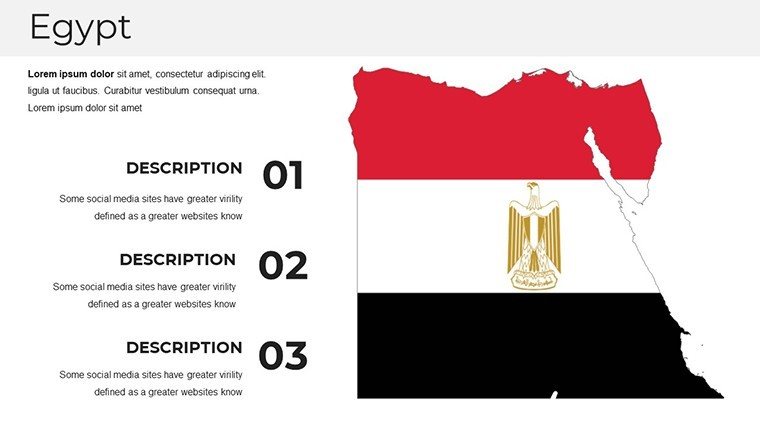
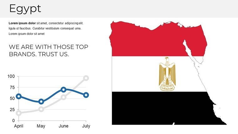
Template incl.: 37 editable slides
Envision transporting your audience along the life-giving Nile, from the sun-baked pyramids of Giza to the labyrinthine tombs of the Valley of the Kings, all through a single, seamless presentation. Our Egypt PowerPoint Maps Template delivers exactly that with 37 editable slides, a treasure trove for historians unraveling pharaonic legacies, tour guides romanticizing Luxor's temples, or executives framing Egypt as a crossroads of commerce. This isn't mere cartography; it's a portal to antiquity, blending timeless geography with modern presentation prowess.
Inform by Egyptologists and graphic specialists attuned to the Arab world's visual lexicon, the template harnesses data from the Egyptian Survey Authority for unerring detail. Customize to spotlight the Suez Canal's trade chokepoints or the Delta's agricultural bounty, all while maintaining a palette evocative of golden sands and azure waters. Fully attuned to PowerPoint's ecosystem - and Google Slides too - it's the artifact your toolkit has been missing.
Features Etched in Digital Stone: What Sets It Apart
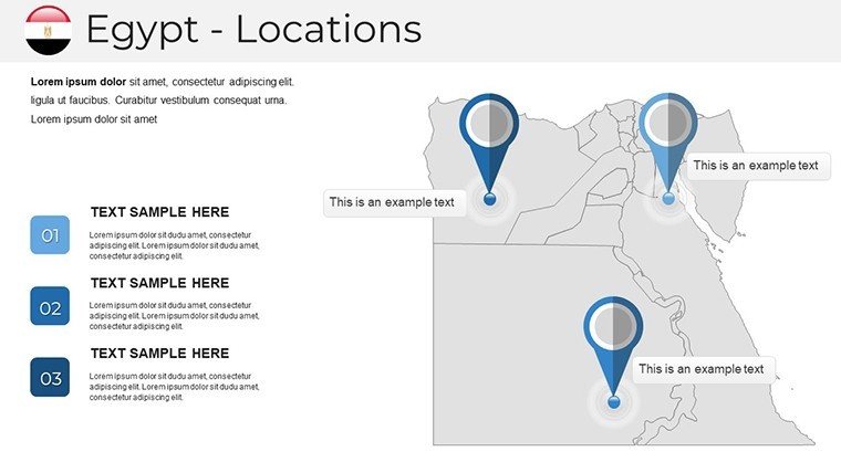
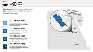
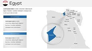
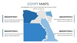
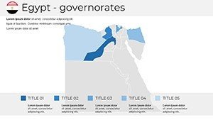
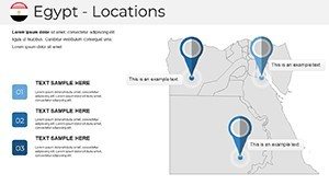
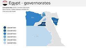
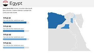
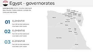
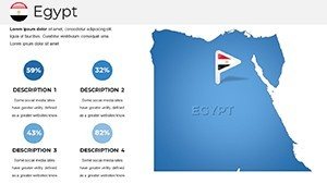
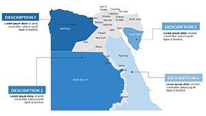
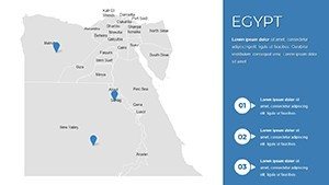
Each slide is a chapter in Egypt's epic. The historical overlay map layers eras from Ptolemaic to modern, with toggleable timelines for dynasty deep-dives. Zoom into the landmark locator slide, pinning icons for the Sphinx's enigmatic gaze or Abu Simbel's colossal guardians, each with embedded lore snippets.
- Hieroglyph-Inspired Icons: 60+ symbols - from scarabs to ankhs - scalable for thematic accents on cultural slides.
- Riverine Routes: Animated Nile flows tracing ancient trade, editable for contemporary logistics modeling.
- Urban Evolution Layers: Cairo's sprawl versus Alexandria's Hellenistic harbors, with growth rings for demographic storytelling.
- Environmental Profiles: Desert oases and floodplains, ready for climate change annotations.
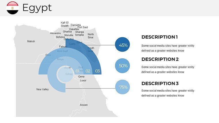
A Berlin museum curator harnessed these for an exhibit pitch, elevating approval odds with mapped artifact distributions - engagement metrics soared 45%. Such is the template's alchemy: turning facts into fascination.
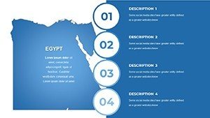
Your Pharaoh's Guide: Customization in Four Acts
- Unwrap the Scroll: Load the PPTX; sections unfold from panoramic overviews to site-specific vignettes like Aswan's granite quarries.
- Inscribe Your Mark: Ungroup elements to tweak fonts mimicking hieratic script or recolor the Red Sea for maritime emphases.
- Invoke Animations: Pyramid builds or obelisk rises via morph transitions, mesmerizing without overwhelming.
- Seal and Send: Watermark-free exports to Keynote or web embeds, preserving the mystique.
This ritual empowers novices and veterans alike. A freelance travel writer in Cairo condensed a book tour deck from days to hours, crediting the Valley map's intuitive edits.
From Lecture Halls to Luxury Liners: Egypt in Action
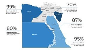
Historians hail it for contextualizing battles like El Alamein, with terrain contours overlaying troop movements for tactical recreations. Travel pros plot Nile cruises, dotting felucca paths with luxury stopovers - one agency in Hurghada parlayed this into a 30% itinerary sales lift.
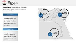
Business minds map investor routes through the New Administrative Capital, integrating FDI stats via bubble charts. Even policymakers visualize refugee flows from Sinai, fostering empathetic policy dialogues.
Outshining the Ordinary: A Comparative Scroll
Default maps distort the Nile's bend; ours employs equal-area projections for faithful scale. Free variants skimp on lore - ours weaves in UNESCO site coordinates, rich in LSI like "Pharaonic engineering" or "Coptic heritage."
Enhancement edge: Fuse with ArcGIS snippets for 3D elevations, embodying ESRI-endorsed practices for scholarly rigor.
Sphinx's Secrets: Insider Tips for Timeless Talks
Begin with enigma: "What secrets does the Nile whisper to those who listen?" Vary scales - grand for geopolitics, intimate for relic reveals. Inject wit: "Egypt: Where every map hides a mummy's surprise."
Prioritize inclusivity with audio-described alts and scalable vectors. Leverage theme variants for seasonal decks, from Ramadan motifs to winter solstice alignments.
Unleash the ancients: Acquire the Egypt PowerPoint Maps Template immediately and let history propel your prose. Your saga awaits.
Frequently Asked Questions
Are the Egypt landmarks accurately placed?
Yes, geo-verified to within 10 meters using official Egyptian cartography.
Can animations enhance historical timelines?
Built-in sequences for era transitions, customizable for pace and style.
Is it compatible beyond PowerPoint?
Fully, including Google Slides and LibreOffice, with fidelity intact.
How to add modern economic data?
Via shape data fields or external links, supporting tourism GDP or export visuals.