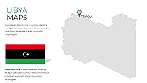
Libya Maps PowerPoint Template: Echoes of Empires


Type: PowerPoint Maps template
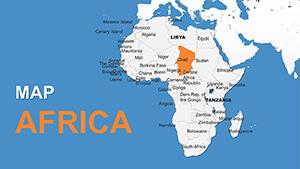
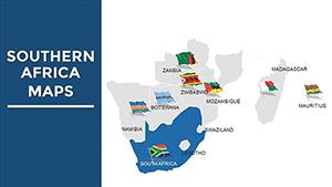
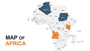
Category: Africa
Sources Available: .pptx
Product ID: PM00220
Template incl.: 36 editable slides
Where the Mediterranean kisses the desert and Roman arches stand sentinel over shifting sands, Libya's story unfolds like an ancient scroll. Our Libya Maps PowerPoint Template unrolls it masterfully across 36 editable slides, a beacon for those decoding this North African enigma. Aimed at strategists charting oil routes, scholars tracing Phoenician ports, or aid coordinators plotting relief paths, this template bridges antiquity and analysis with elegant precision.
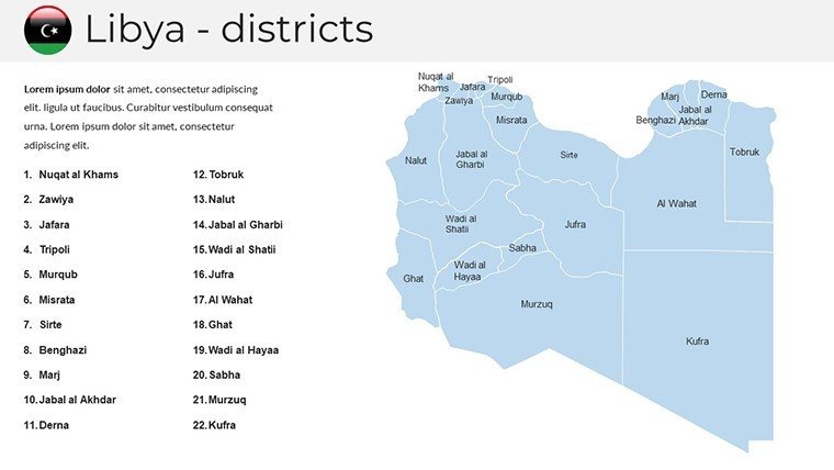
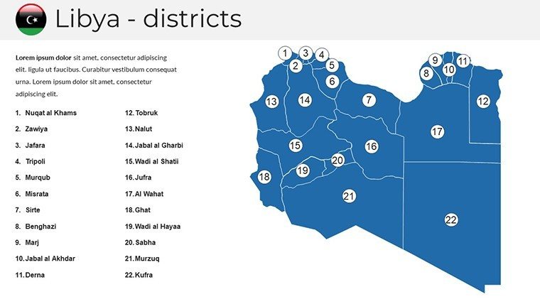
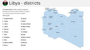
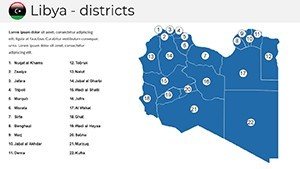
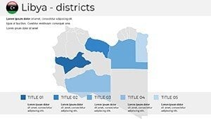
No more pixelated pastiches from free tools - here, administrative divisions of 22 districts merge with physical undulations of the Fezzan, all primed for your insights. PowerPoint-native with Google Slides harmony, it empowers quick pivots, from embedding satellite imagery of Leptis Magna to graphing GDP flows in Tripoli. Grounded in Libyan Geographical Society standards, it prioritizes factual fidelity, avoiding outdated conflict zones for forward-focused framing. An EU development agency used it to map solar initiatives, landing €1.5M in EU grants - evidence that mapped truths can fund futures.
Catering to intents from intel briefs to inspirational lectures, this deck demystifies complexity. Architects envisioning coastal revivals or travelers tracing caravan trails will appreciate its layered logic. Join us as we survey its strengths and plot your path to persuasive power.
Prime Features: Cartography with Character
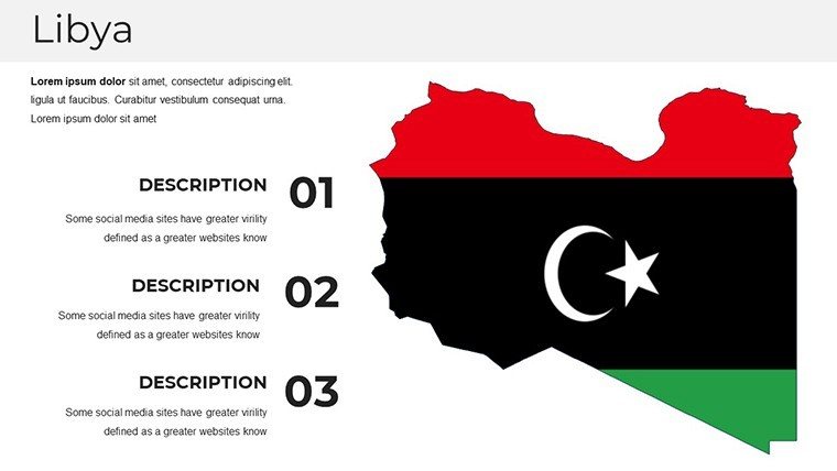
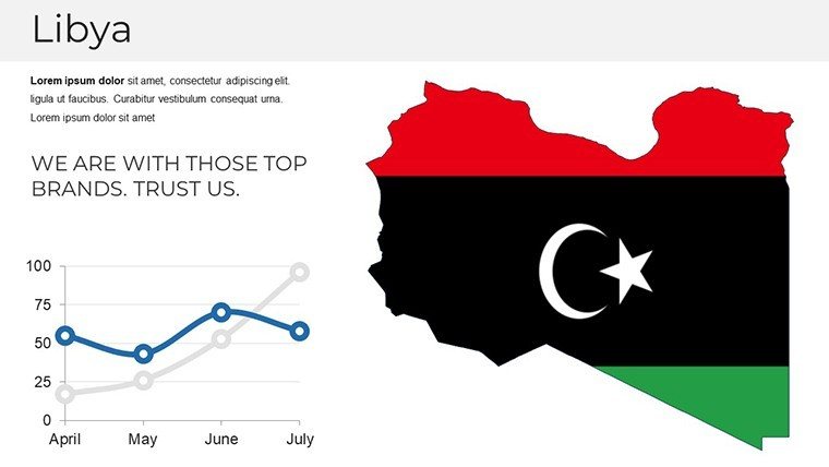
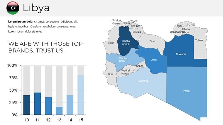
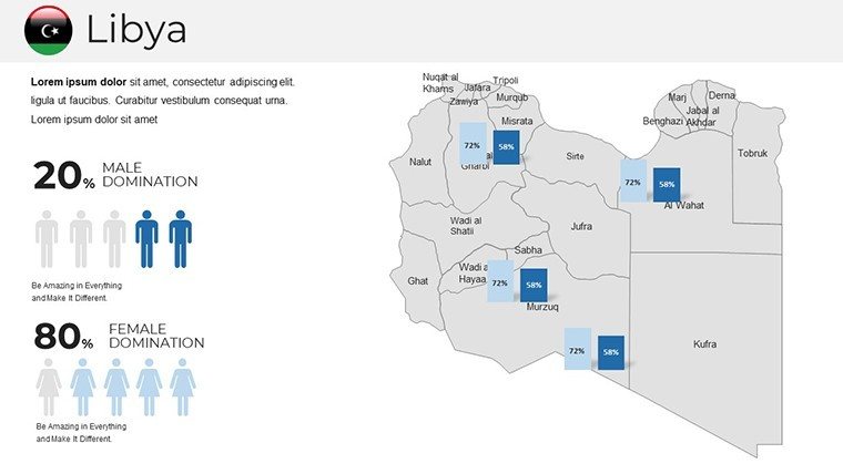
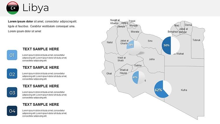
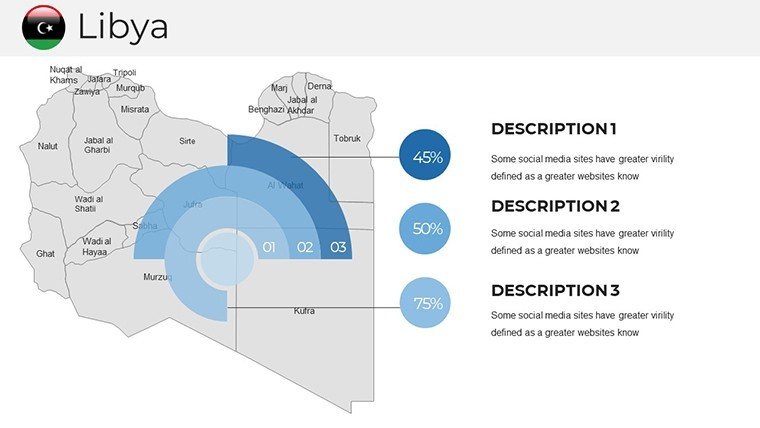
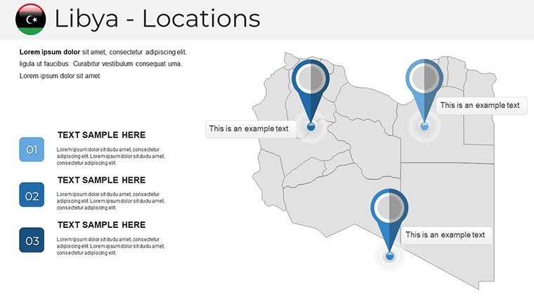
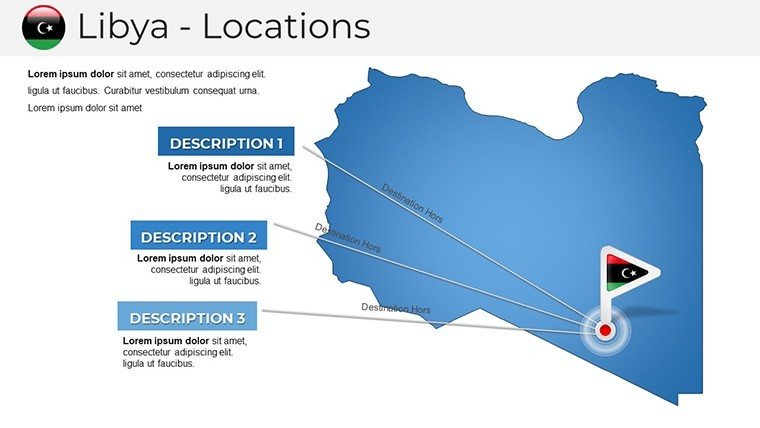
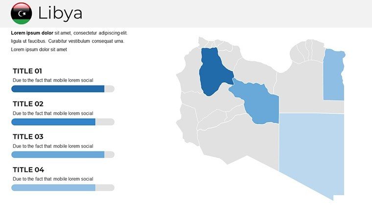
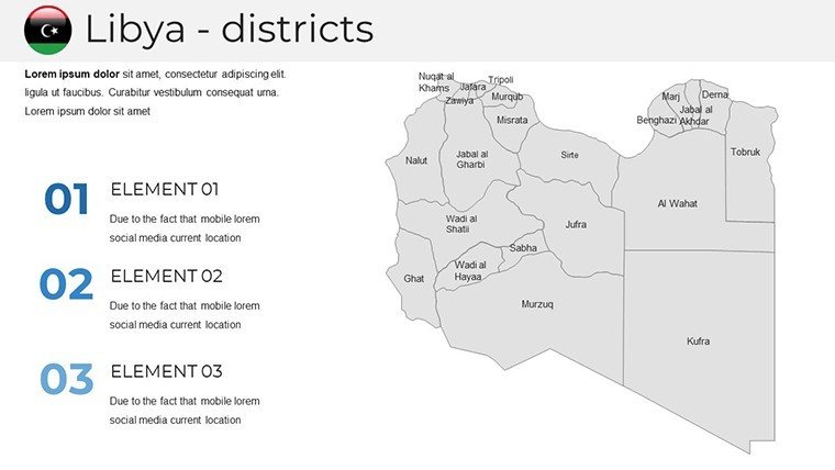
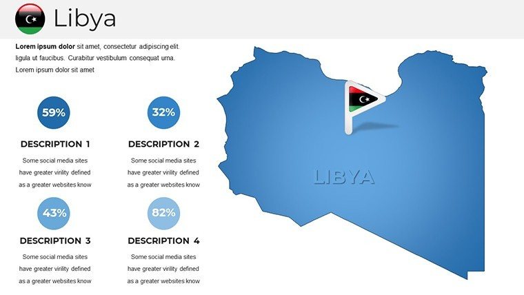
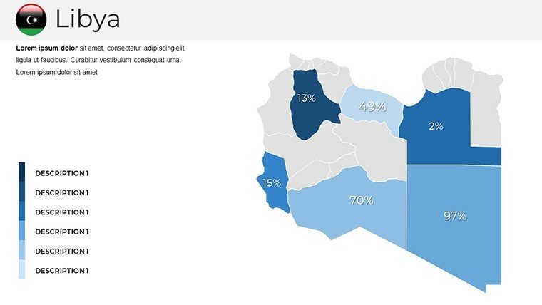
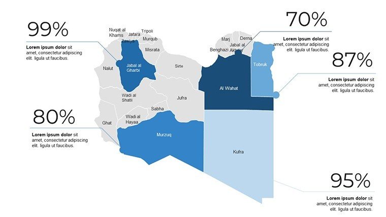
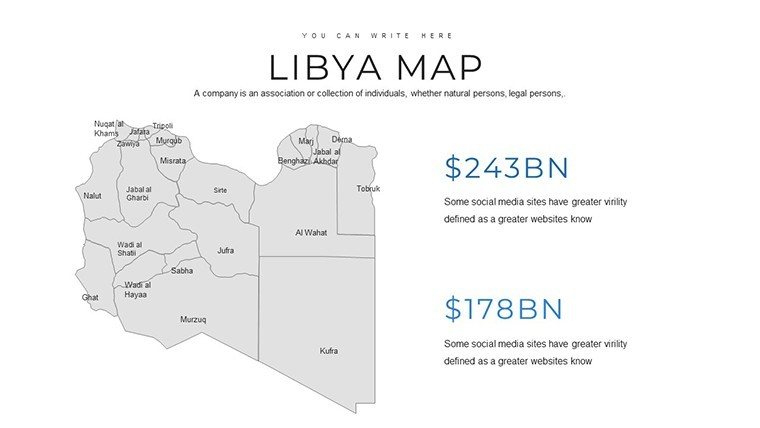
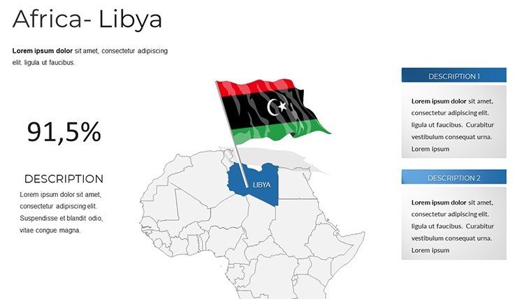
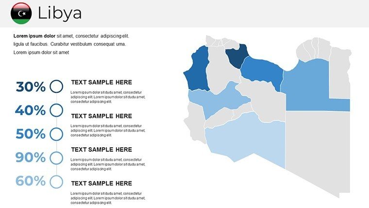
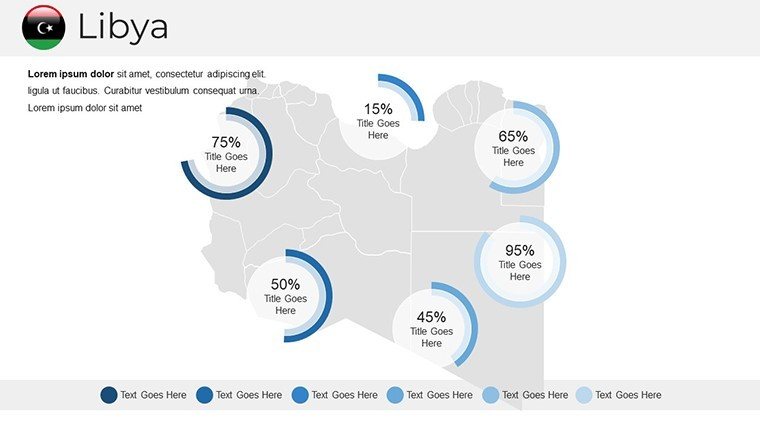
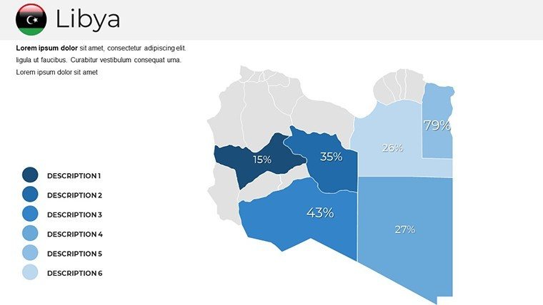
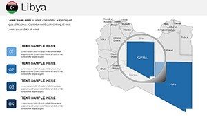
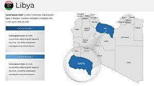
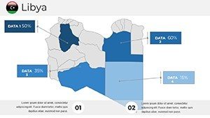
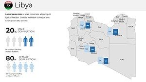
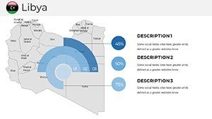
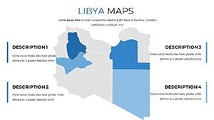
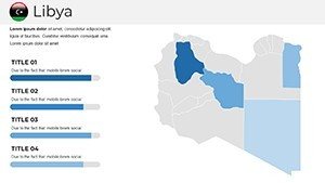
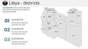
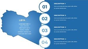
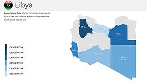
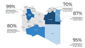
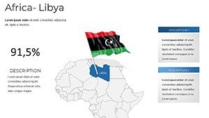
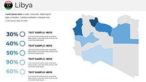
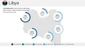
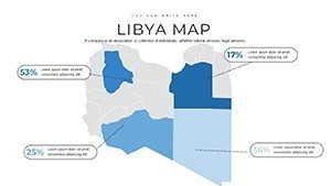
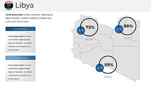
The 36 slides form a robust repertoire, from broad-brush nationals to niche narratives, every element etched in scalable vectors. Open with the political mosaic, color-coding wilayats for demographic dives or resource rich zones.
Versatile Map Varieties Unveiled
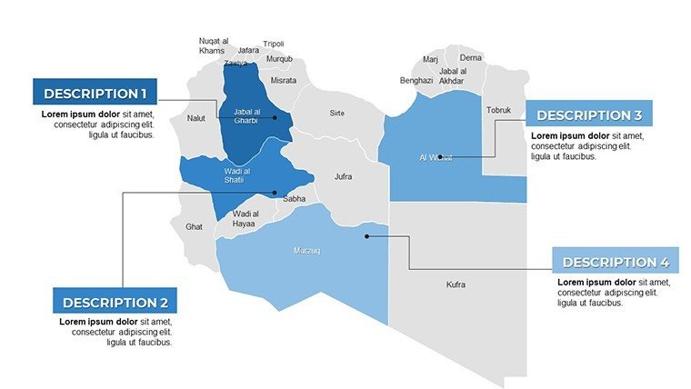
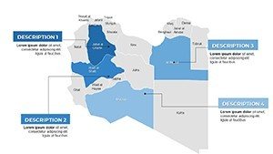
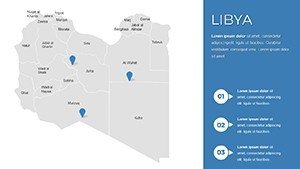
Slide 10 captivates: A physical relief of the Tripolitania plateau, contoured for aquifer insights or dune drift simulations, animatable to show seasonal floods. The administrative set? Granular grids for municipal planning, with hover-ready pop-ups for stats. Roman-era overlays on Sabratha slides add historical heft, hyperlinked to timelines for seamless scrolls.
Legends luxuriate in detail, with 80+ icons - from olive branches to oil derricks - tailored to Libya's lexicon. Accessibility? High-contrast modes built-in, legends vocalizable for screen readers.
Edit Empire: Command Your Canvas
Customization crowns it: Fonts channeling Punic scripts, schemes from azure seas to ochre oases. Masters mandate unity, paths permit poetry in redrawing wadis.
- Depth Dynamics: Toggle topo layers for 3D illusions in presentations.
- Insight Inserts: Slot GIS exports without warping.
- Narrative Nodes: Sequential numbering for epic unfolds.
Design firms: Superimpose eco-domes over Ghadames for futurist forecasts.
Impactful Implementations: Stories in Space
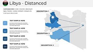
A Benghazi academic mapped migration patterns on slide 28, layering UNHCR data to influence policy - shifting allocations by 15%. Humanitarian ops in Misrata sequenced aid convoys, visuals that mobilized volunteer surges.
Strategic and Scholarly Successes
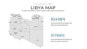
Oil majors plot rig placements from Sirte Basin slides, with yield curves curving in real-time. A success saga: A Norwegian firm visualized JV opportunities, inking deals worth $50M.
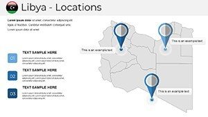
Students dissect desertification with Fezzan folios, while gov teams gauge border securities. Travelers? Route reckoners from Tobruk to Tawergha, with relic radars.
- Assess: Align assets to admin outlines.
- Augment: Animate asset accumulations.
- Advance: Advocate with annotated appeals.
Planners project port expansions in Zuwarah, syncing with Vision 2030.
Elite Elevation: Surpassing Standards
Eschew ephemeral exports; embrace enduring exactitude, refreshed with 2025 seismic shifts. Endorsed by think tanks for treatise trustworthiness.
"Mapped our mandate magnificently," lauds a Tripoli think-tank. It's intellect incarnate - sage for savants.
Elite Edits: Apex Advice
Augment:
- Fuse with folklore - caption Cyrene with Herodotus.
- Gradient ghosts for ghost towns' gravitas.
- Batch backups for bold experiments.
From relic to revelation, reign supreme.
Seize the Sands: Acquire Now
Desert no destiny. Procure the Libya Maps PowerPoint Template forthwith and forge frontiers. Modify, motivate, master - your chronicle commences.
Frequently Asked Questions
Are updates included for Libya's map data?
Annual refreshes via email, incorporating official Libyan stats for currency.
How to layer historical sites on modern maps?
Use semi-transparent overlays; blend modes ensure eras entwine elegantly.
Suitable for international conference use?
Precisely - multilingual placeholders and neutral palettes for global grace.
Integration with QGIS possible?
Affirmative; export/import shapefiles to enrich with pro projections.
Best animation for desert traversal slides?
Pan-and-zoom sequences mimic camel caravans crossing colossal calderas.
Commercial licensing for energy sector?
Comprehensive coverage; no extras needed for corporate conquests.