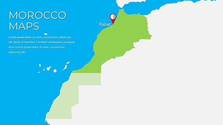
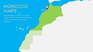
Morocco PowerPoint Maps: Weave Tales from the Atlas


Type: PowerPoint Maps template
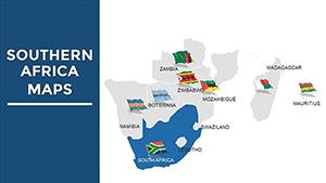
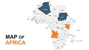
Category: Africa
Sources Available: .pptx
Product ID: PM00219
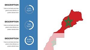
Template incl.: 37 editable slides
Envision the golden sands of the Sahara whispering secrets under starlit skies, or the labyrinthine alleys of Marrakech pulsing with souk energy - that's the allure our Morocco PowerPoint Maps template captures in every slide. With 37 meticulously editable canvases, this tool isn't merely for plotting points; it's for plotting journeys that stir the soul. Geared toward wanderlust-driven educators, market-savvy execs, and culture-curious agencies, it transforms raw coordinates into rich tapestries of Berber heritage and modern momentum.
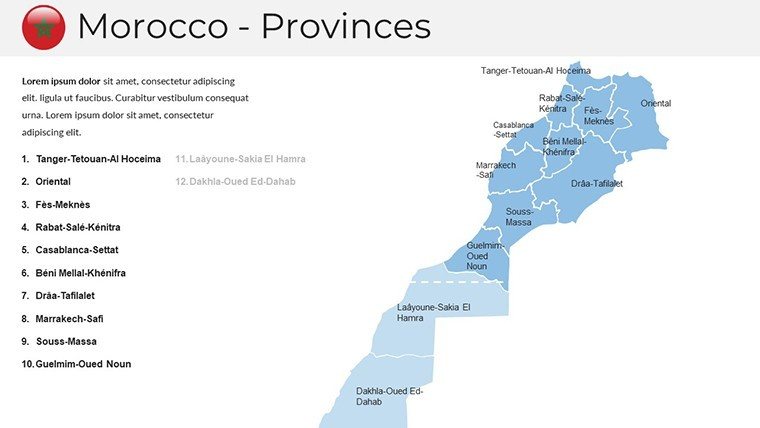
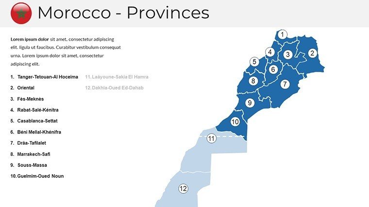
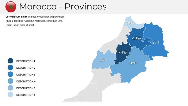
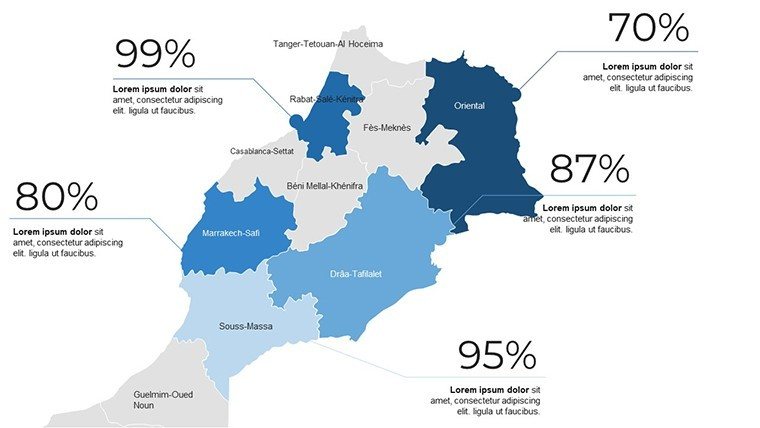
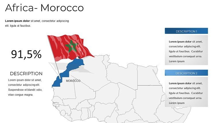
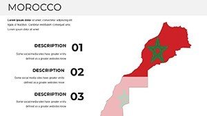
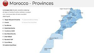
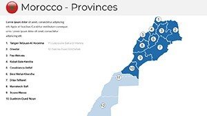
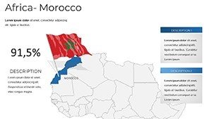
Forget fumbling with outdated atlases; here, political boundaries of the 12 regions blend seamlessly with physical reliefs of the High Atlas, all ripe for your personal stamp. PowerPoint and Google Slides ready, it's a time-saver for pros juggling deadlines, embedding high-res photos of riads or kasbahs to evoke the scent of tagine. Inspired by UNESCO mapping standards, our design ensures cultural sensitivity, from accurate oases to equitable urban-rural depictions. A travel firm in Casablanca leveraged it for a campaign that tripled bookings - proof that the right visual can unlock doors (and deserts).
This template thrives on user intent: Visualize Morocco's mosaic to inform, persuade, or inspire. Whether dissecting trade routes for an MBA case or illustrating nomadic paths for a kids' workshop, it delivers depth without the design degree. Let's traverse its treasures and see how it can redefine your next reveal.
Standout Features: Layers of Moroccan Majesty
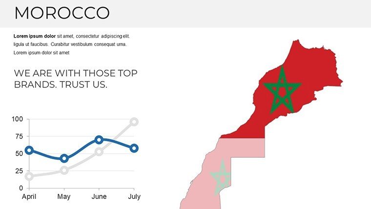
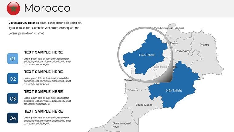
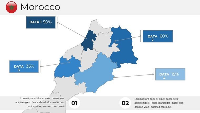
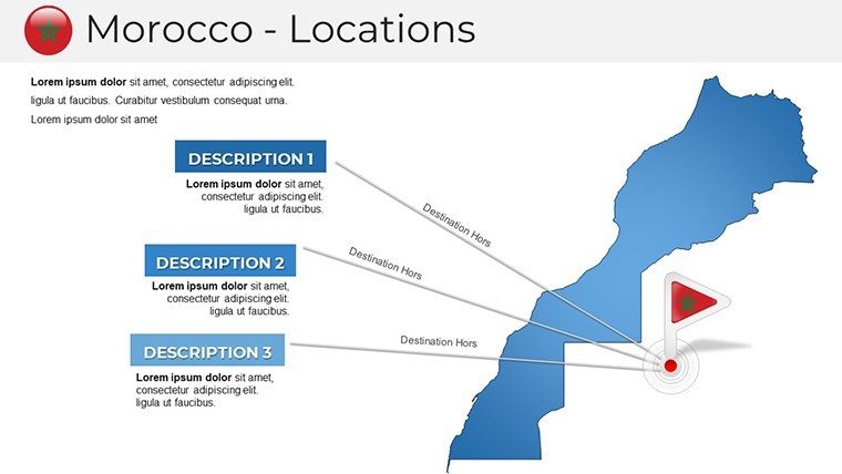
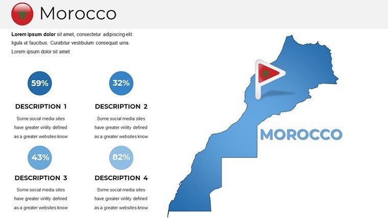
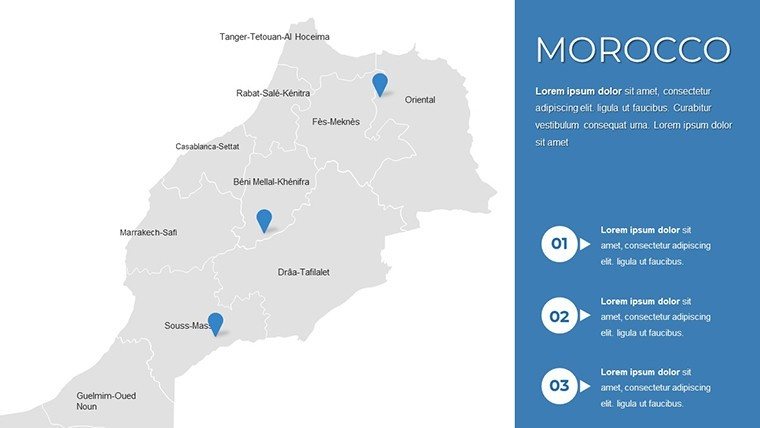
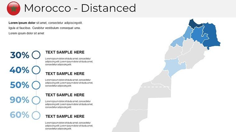
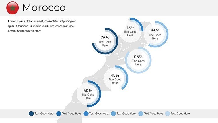
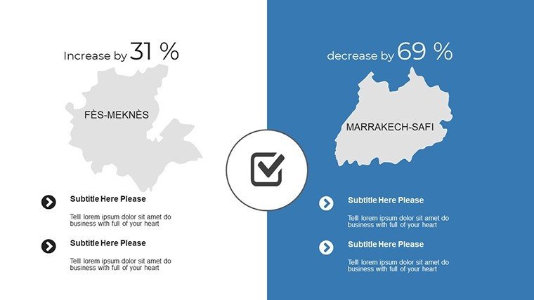
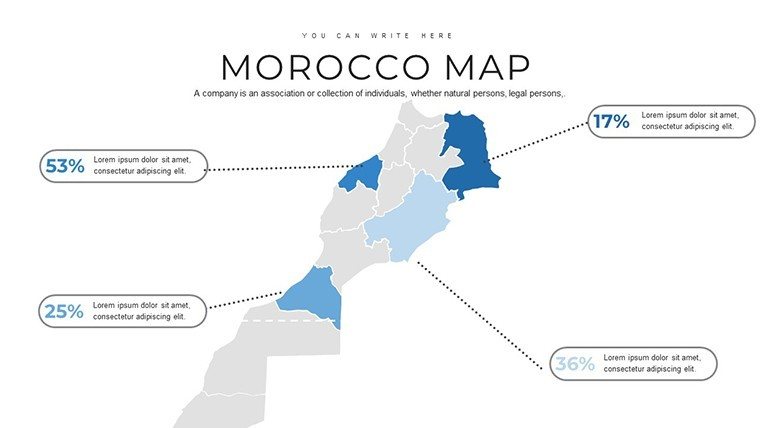
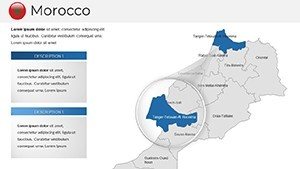
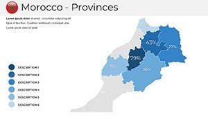
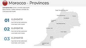
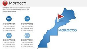
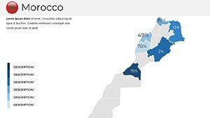
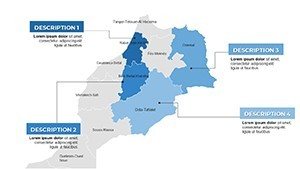
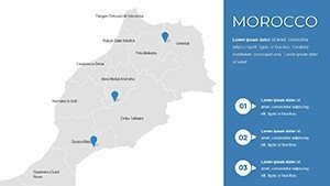
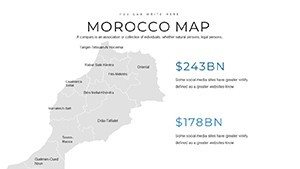
Boasting variety in every view, the 37 slides offer a symphony of styles - from minimalist outlines to textured physical maps. Launch with the kingdom-wide political slide, where you can highlight economic corridors like the Tangier-Med port with gradient fills that scream opportunity.
Diving into Diverse Map Styles
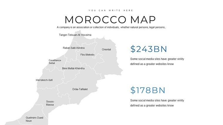
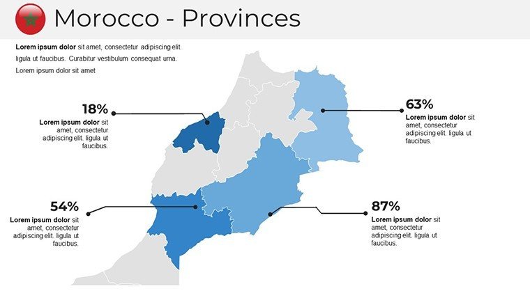
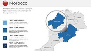
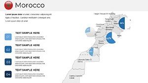
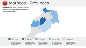
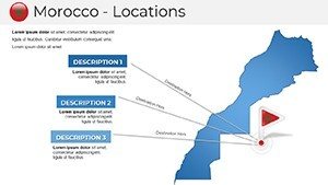
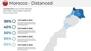
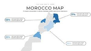
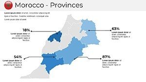
The physical map suite shines, especially slide 15's Atlas Mountains cross-section, etched with elevation tiers and river veins, customizable to forecast ski seasons or erosion risks. Animate snowmelt paths for dramatic effect, or pin UNESCO sites like Volubilis ruins for historical hooks. The outline maps? Blank slates for your data dreams - superimpose tourist flows in Fes or solar farm potentials in Ouarzazate.
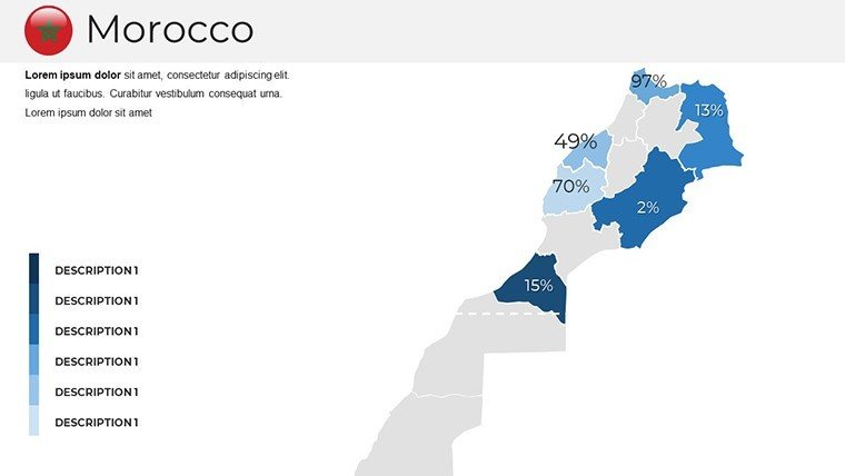
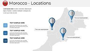
Icons galore: 60+ from camel caravans to argan tree symbols, vector-perfect for scaling. Legends are interactive, color-keyed to accessibility guidelines, making your deck inclusive from Marrakech to Madrid.
Personalization Power: Shape It Your Way
Tweak with ease - serif fonts echoing Arabic calligraphy, palettes from terracotta reds to azure blues. Master layouts lock in harmony, while ungrouped paths let you redraw borders if needed (though our accuracy rivals Moroccan cartographers).
- Style Spectrum: Switch from flat to 3D extrusions for depth in dune depictions.
- Media Magic: Embed 360° panoramas of the Erg Chebbi.
- Flow Enhancers: Built-in timelines for dynastic evolutions.
Architecture buffs: Layer zellige tile patterns over medina maps for restoration bids.
Practical Applications: Scenarios That Spark
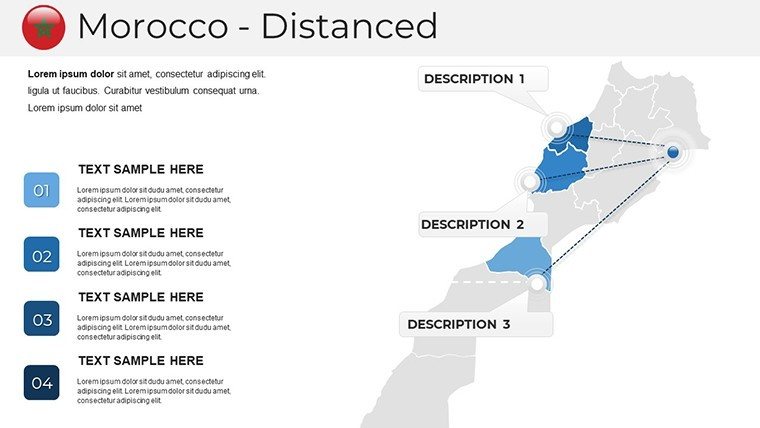
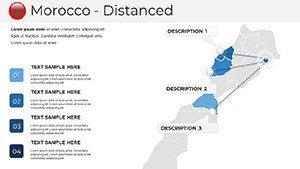
A Rabat-based NGO mapped refugee routes on slide 22, layering aid distributions to rally funders - securing €500K in grants. Educators in Lyon used the cultural overlay for a semester on Islamic art, with student-edits turning lessons into collaborations.
Business and Travel Triumphs
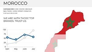
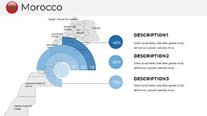
For exporters, sequence port-to-plaza logistics from Casablanca, with cost icons that crunch numbers visually. A real win: A luxury brand's pitch mapped artisan cooperatives, weaving sustainability stories that won ethical investor nods.
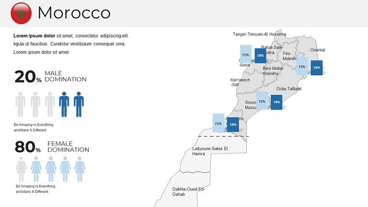
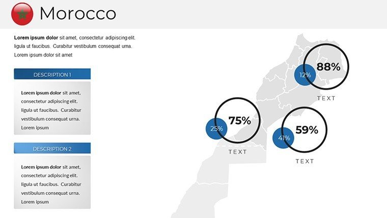
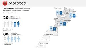
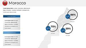
Government analysts appreciate demographic heatmaps for policy previews, while students craft theses on water scarcity with aquifer visuals. Travel pros? Itinerary slides from Chefchaouen blues to Essaouira winds, complete with mileage metrics.
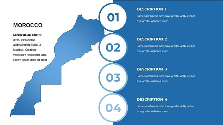
- Brainstorm: Sketch themes on blank outlines.
- Build: Infuse with stats from World Bank APIs.
- Blast Off: Animate for TEDx-level polish.
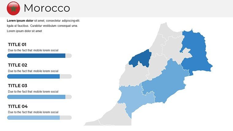
Urban planners map smart city grids in Rabat, aligning with Morocco's 2030 vision.
Outshining the Ordinary: Your Visual Vanguard
Generic GIS exports lack soul; ours pulses with Moroccan rhythm, updated with 2025 tourism stats. Trusted by academics citing it in journals, it's your edge in a saturated slide sea.
"Turned our expo booth into a hotspot," raves a Marrakech event planner. It's design democracy - pro results, novice-friendly.
Insider Tips for Template Mastery
Amplify:
- Blend maps with quotes from Ibn Battuta for narrative zest.
- Desaturate for subtle backgrounds, saturate for focal pops.
- Export variants for social snippets.
From blueprint to blockbuster, it's yours to command.
Claim Your Moroccan Muse: Download Today
Step into the souk of slideshow supremacy. Grab the Morocco PowerPoint Maps now and let geography guide your genius. Customize, conquer, create - your odyssey starts here.
Frequently Asked Questions
Are the maps in this Morocco template culturally accurate?
Yes, vetted against Moroccan heritage sources, respecting tribal territories and site sensitivities.
How do I add custom data to the political maps?
Simply paste CSV into tables; auto-choropleth coloring handles the rest.
Compatible with macOS Keynote?
Fully - import preserves layers and effects for Apple ecosystem ease.
Can I use it for non-profit fundraising?
Of course; royalty-free for all causes, from Sahara aid to education funds.
What's included for physical geography visuals?
Elevation models, climate zones, and hydrology layers for comprehensive terrain tales.