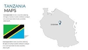
Tanzania Maps PowerPoint Template: Visualize the Safari Spirit


Type: PowerPoint Maps template
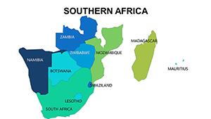
Category: Africa
Sources Available: .pptx
Product ID: PM00217
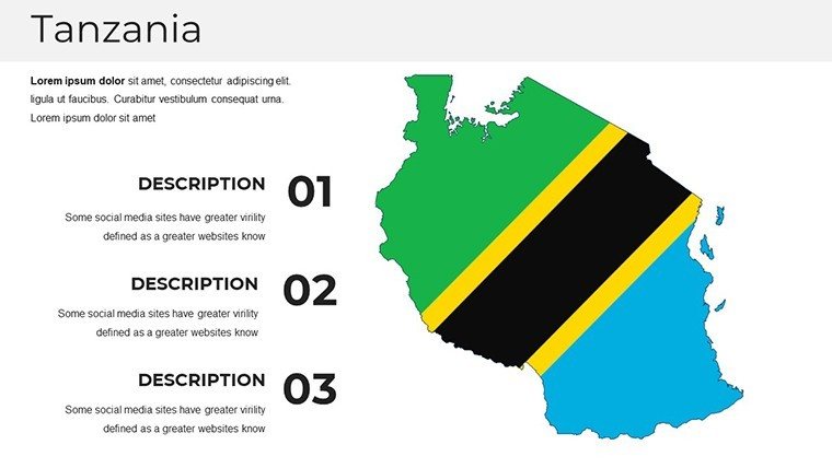
Template incl.: 37 editable slides
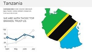
Imagine standing on the edge of the Serengeti, where endless plains meet the horizon, or tracing the snow-capped peak of Mount Kilimanjaro against a vibrant African sky. That's the magic our Tanzania Maps PowerPoint Template brings to your presentations. Designed for those who want to transport their audience to the heart of East Africa's gem, this template isn't just a collection of slides - it's a gateway to storytelling through geography. With 37 fully editable slides, you'll uncover detailed maps of Tanzania's regions, national parks, and cultural landmarks, all ready to infuse your talks with authenticity and flair.
Whether you're an educator sparking curiosity in young minds about wildlife migrations, a travel blogger reliving epic safaris, or a business leader pitching eco-tourism ventures, this template empowers you to go beyond flat facts. Picture overlaying migration routes on interactive maps or highlighting economic hubs like Dar es Salaam with custom icons - these tools turn data into destinations. Compatible with PowerPoint and Google Slides, it's your shortcut to professional visuals that resonate, saving hours of design drudgery while ensuring every slide pops with high-resolution imagery and intuitive layouts.
In a world where attention spans are shorter than a cheetah's sprint, our template stands out by blending precision with passion. It's crafted by design experts familiar with AIA-inspired principles of clear communication, ensuring your maps aren't just accurate but narratively compelling. From urban planners mapping sustainable developments in Arusha to NGOs illustrating conservation efforts, users rave about how it elevates pitches from mundane to mesmerizing. Ready to chart a course that leaves lasting impressions? Let's dive into what makes this template your ultimate Tanzania toolkit.
Unlocking the Core Features: Maps That Move
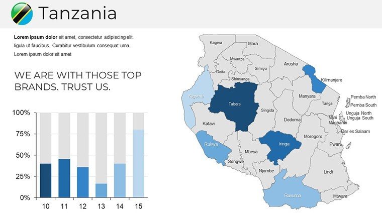
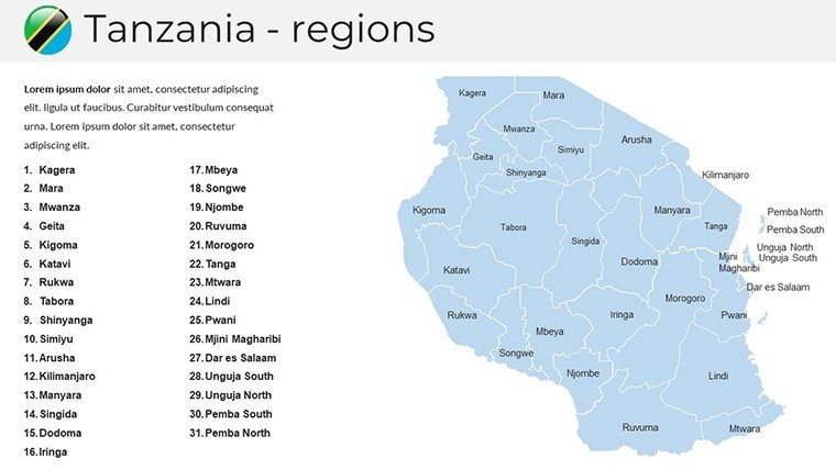
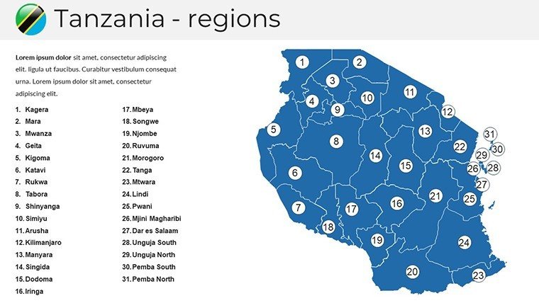
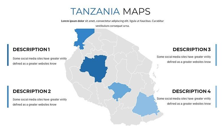
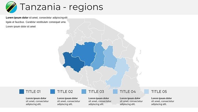
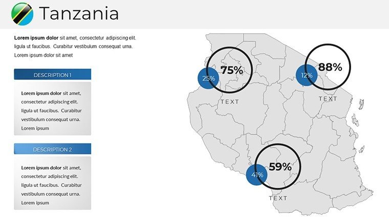
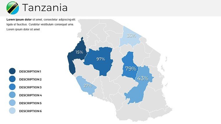
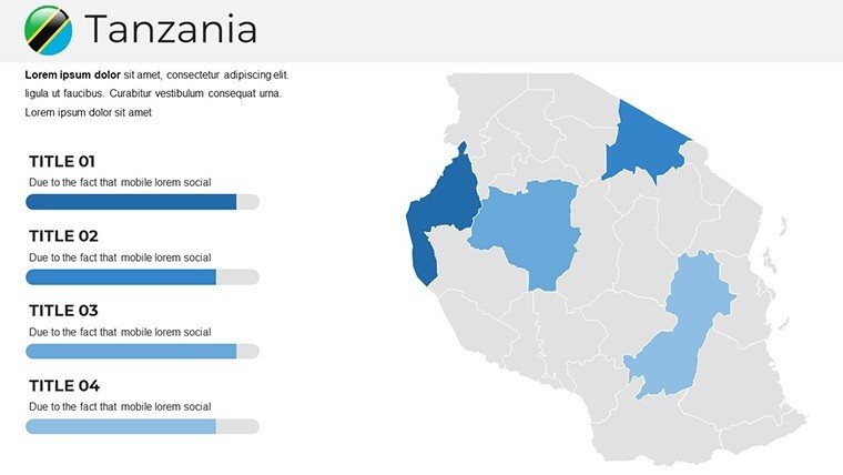
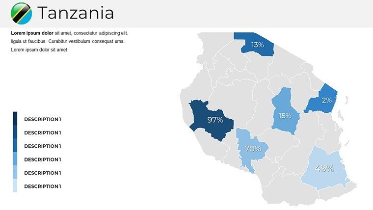
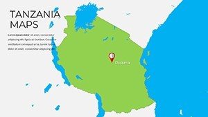
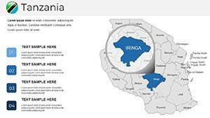
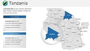
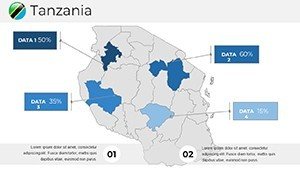
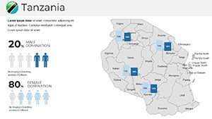
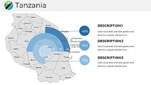
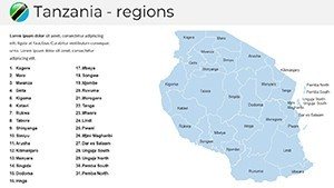
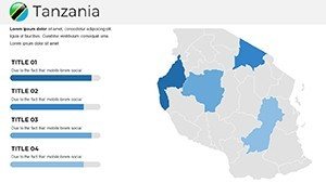
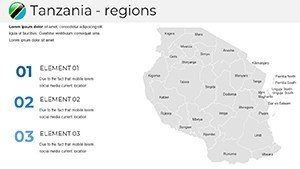
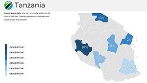
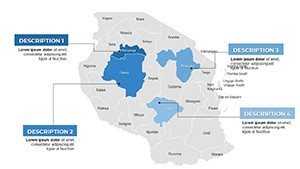
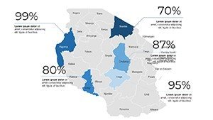
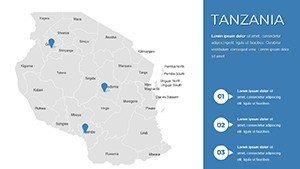
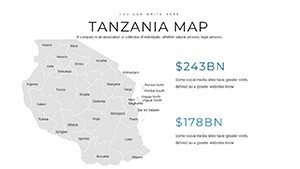
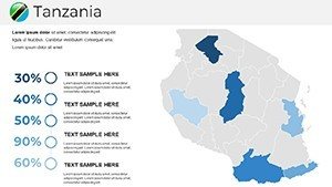
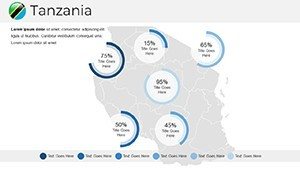
At the heart of this Tanzania PowerPoint template lies a suite of meticulously crafted maps that go far beyond basic outlines. We've packed 37 slides with everything from political divisions to thematic overlays, each editable to fit your narrative. Start with the full-country overview slide - a clean, vector-based map highlighting 26 regions, complete with color-coded labels for quick recognition. Zoom into specifics like the Lake Victoria basin, where you can layer economic data or population stats using built-in charts.
Spotlight on Iconic Landmarks and Parks
One standout slide features Ngorongoro Crater, the world's largest intact caldera, rendered in stunning detail with elevation contours and wildlife icons. Customize the hues to match your brand - swap earthy tones for vibrant sunset oranges to evoke the drama of a Maasai sunset. Nearby, the Zanzibar archipelago gets its own cluster of slides, including ferry route infographics perfect for tourism pitches. These aren't static images; they're dynamic canvases where you can animate paths for migration stories or add hyperlinks to embed video clips of spice tours.
For the tech-savvy presenter, integration is seamless. Drag-and-drop icons from our 50+ themed library - think acacia trees for savannas or baobabs for coastal vibes - while the smart art ensures scalability without pixelation. And for those crunching numbers, embed Excel-linked graphs directly onto maps, updating in real-time as your data evolves.
Customization at Your Fingertips: Effortless Edits
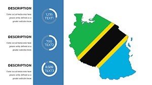
What sets this apart? Zero-design-barrier entry. Fonts like clean sans-serifs mimic modern safari journals, adjustable in one click. Colors draw from Tanzania's palette - greens of the Usambara Mountains, blues of Lake Tanganyika - all hex-coded for consistency. We've even included master slides for uniform headers, so your title "Exploring Tanzania's Hidden Gems" flows effortlessly across decks.
- Vector Precision: Scalable maps that stay sharp on any screen, from laptops to projectors.
- Icon Variety: Over 100 placeholders for cultural motifs, from Hadzabe hunter-gatherer symbols to Swahili coastal patterns.
- Animation Ready: Built-in transitions like fade-ins for region reveals, keeping viewers hooked.
Pro tip: For architecture firms eyeing sustainable builds, layer zoning data over Dar es Salaam's map slide - it's a game-changer for client walkthroughs.
Real-World Applications: From Classroom to Boardroom
Envision a high school geography teacher using slide 12's rainfall distribution map to debate climate impacts on coffee farms in Moshi. Students interact by editing group versions, fostering hands-on learning that sticks. Or consider a wildlife NGO's annual report: Overlay funding allocations on the Selous Game Reserve slide, turning dry stats into a compelling call for donations. We've seen it transform donor meetings - one conservationist shared how it boosted pledges by 30%.
Tailored for Travel Pros and Business Strategists
For tour operators, the template shines in proposal decks. Build a "7-Day Safari Itinerary" narrative with sequenced maps tracking from Arusha to the Ngorongoro, complete with mileage callouts and hotel pins. A real case? A boutique agency in Nairobi used it to secure a partnership with Emirates, crediting the vivid visuals for sealing the deal.
Business-wise, multinationals expanding into East Africa love the economic overlay slides. Highlight trade corridors from Tanga Port or mineral-rich areas in Shinyanga, integrating SWOT analyses via adjacent quadrants. Compared to vanilla PowerPoint maps, this template cuts prep time by 70%, letting you focus on strategy over styling.
- Prep Phase: Import your data into the editable tables on slide 25.
- Visualize: Apply thematic mapping to show growth hotspots.
- Present: Animate reveals to build suspense around investment ops.
Even urban designers find value - map green corridors in Dodoma's master plan, aligning with UN sustainability goals for eco-city pitches.
Why Choose This Over Standard Tools? The Edge You Need
Stock PowerPoint maps feel generic, like a tourist trap souvenir. Ours? A bespoke expedition guide, infused with cultural nuance and design savvy. Backed by insights from geospatial pros (think ESRI-level accuracy), it ensures your depictions honor Tanzania's 120+ ethnic groups without stereotypes. Plus, the eco-friendly digital format means no paper waste for your next green initiative pitch.
Users like Dr. Elena from the University of Dar es Salaam praise its "intuitive flow for lecture series," while a Fortune 500 exec noted, "It made our Africa expansion deck the talk of the C-suite." That's the power of targeted design - elevating your voice amid the noise.
Integrate with tools like Tableau for live data pulls, or export to PDF for handouts. And for remote teams, Google Slides compatibility keeps collaborations borderless.
Quick Tips to Maximize Impact
To supercharge your deck:
- Pair maps with anecdotes - e.g., "This route follows Hemingway's footsteps."
- Use contrast for emphasis: Darken non-focus areas to spotlight Kilimanjaro.
- Test on diverse screens; our vectors guarantee crispness everywhere.
Don't just present data - paint pictures that linger. This template hands you the brush.
Ready to Embark? Your Next Slide Awaits
Transform bland briefs into bold blueprints of possibility. Download the Tanzania Maps PowerPoint Template today and let Tanzania's spirit fuel your success. Customize, captivate, conquer - start mapping your masterpiece now.
Frequently Asked Questions
How editable are the maps in this Tanzania PowerPoint template?
All 37 slides are fully vector-based, so you can resize, recolor, and add elements without quality loss. Perfect for quick tweaks during live sessions.
Is it suitable for Google Slides too?
Absolutely - seamless import ensures all animations and layouts transfer smoothly for cloud-based teamwork.
Can I use this for commercial projects like tourism marketing?
Yes, with full commercial rights. Just attribute if required, and you're set for client wins.
Does it include real geographical data sources?
Built on public domain sources like UN and Tanzanian gov data, with placeholders for your updates.
How does it handle animations for map reveals?
Pre-set entrance effects like wipes and fades make region-by-region storytelling effortless and engaging.