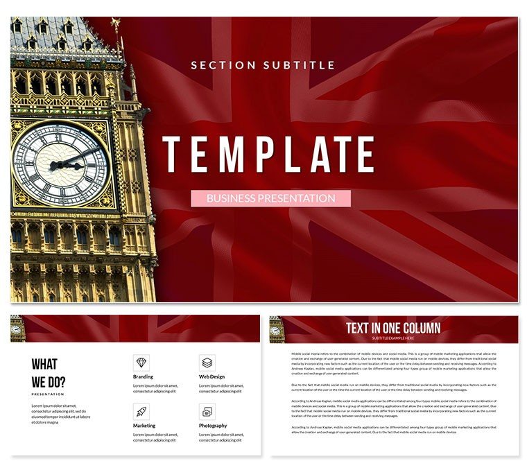
Presenting on UK-specific topics often requires balancing national identity with professional clarity - I've seen too many decks fall flat because generic maps or flags looked amateur. This United Kingdom PowerPoint template provides authentic, high-resolution visuals and layouts tailored for discussions involving British geography, economy, or policy, helping you deliver authoritative messages to stakeholders across sectors.
The sophisticated design incorporating subtle Union Jack elements and accurate regional outlines ensures cultural respect while maintaining corporate polish for international audiences.
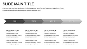
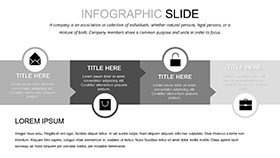
Detailed Geographic and Thematic Layouts
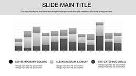
Opening slides feature full UK map breakdowns with editable regions for highlighting England, Scotland, Wales, and Northern Ireland separately. Data visualization sections include bar and pie charts overlaid on outline maps, perfect for economic indicators by constituency.
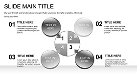
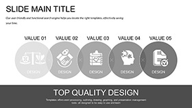
Timeline layouts trace historical or policy developments with iconic landmarks as anchors. Infographic packs offer flag-integrated comparison tables for UK versus EU metrics or regional performance rankings.
Agenda and section dividers use elegant crest-inspired borders, while team introduction slides incorporate location pins for distributed British offices.
Professional Applications for UK Contexts
In board meetings for multinational firms with UK operations, these slides clarify market penetration strategies using precise regional data overlays. Government affairs teams present policy impacts with layered maps showing affected areas clearly.
Educators teaching British history or politics use the thematic timelines to engage students with visual progression of events.
Effortless Workflow for UK-Focused Decks
Fully compatible with PowerPoint 2016+, Keynote, and Google Slides, the template loads quickly for last-minute updates. Edit map labels, adjust color themes to match corporate guidelines, and insert your data - all while preserving vector quality.
The lifetime license means you can reuse it for recurring Brexit analysis or annual UK market reviews without additional cost.
Practical Examples from Real Presentations
Consultants advising on UK expansion use the map-centric slides to outline distribution networks. Managers reporting to London headquarters visualize team structures across the islands.
Conference speakers on UK economy integrate statistical infographics seamlessly. Analysts in think tanks compare devolved powers with clear regional breakdowns.
Use Cases Across UK-Related Industries
- Finance: London market analyses and regulatory updates.
- Technology: UK tech hub overviews and investment landscapes.
- Education: British curriculum materials and university outreach.
- Government: Policy briefings and regional development plans.
- Marketing: UK consumer behavior studies and campaign results.
Elevate your United Kingdom presentations with authentic professional design - download now and make your next deck unmistakably British.
Frequently Asked Questions
Can I highlight specific UK cities or counties on the maps?
Yes, all map layers are individually editable - select regions, change fill colors, or add custom labels for precise localization.
Is the template appropriate for international audiences discussing UK topics?
Definitely, the balanced design conveys national context without overwhelming, ideal for global investors or partners.
How do I update the flag elements for specific nations within the UK?
Separate assets for each national flag are included, allowing easy swaps while maintaining layout integrity.
Does it support data import for regional statistics?
Chart placeholders accept direct Excel links or manual entry for population, GDP, or other metrics by region.