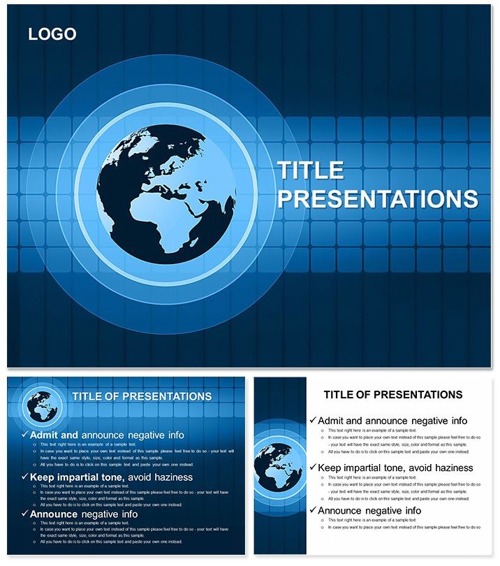
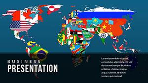
In a borderless business landscape, presentations that capture the world`s pulse don`t just inform - they inspire action across continents. The World in Focus PowerPoint template brings that global lens to life, curating 28 diagrams in seven worldly color schemes to frame your international strategies with precision and panache. Aimed at executives, analysts, and consultants charting expansions or market scans, it widescreen-ready backgrounds turn vast data into focused narratives that bridge cultures and close deals.
Powered by three masters, it`s seamless in PowerPoint 2016+, adapting to 16:9, 4:3, or 16:10 for any screen. Here, the world isn`t a backdrop - it`s the canvas for your story.
Worldly Widgets: Prime Features
From globes to grids, elements spotlight connections that matter.
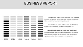
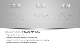
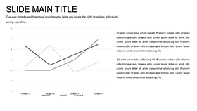
- Globe Grids: Heat maps for regional trends, layered for multi-tier analysis.
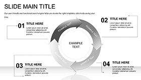
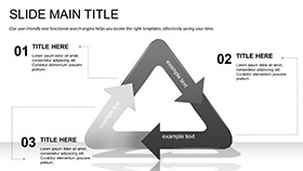
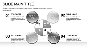
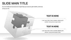
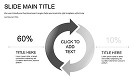
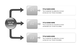
- Orbit Organizers: Circular flows orbiting a central hub for partnership ecosystems.
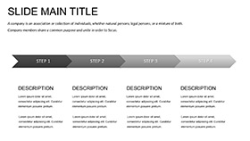
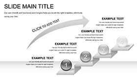
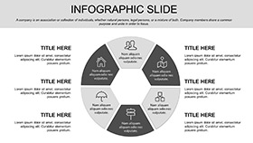
- Continent Chains: Linked timelines spanning zones for phased rollouts.
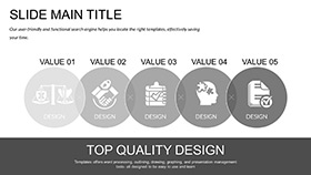
- Insight Icons: 50+ geo-motifs, editable for locale-specific tweaks.
Animations orbit smoothly, revealing layers like dawn over horizons.
Mapping Mastery: Strategic Scenarios
Consultants plot merger impacts with chain diagrams, links as trade routes forging alliances.
Navigate setup:
- Scope the Scene: Open .potx, select earth-toned scheme for grounded appeal.
- Pinpoint Priorities: Drop data into map overlays, highlighting hotspots.
- Connect Continents: Link slides with transition icons for narrative flow.
- Global Glance: Review in slideshow, adjusting zooms for emphasis.
Analysts use radial worlds for competitor radars, spokes as threats radiating outward.
From Local to Legacy
An exec visualizes supply webs with interconnected nodes, alt texts like "Global chain diagram for logistics" ensuring clarity.
Broader Than Basics
Outshines plain maps with integrated storytelling, honed for cross-cultural resonance.
Focus your world - download for $22 and lead globally.
Frequently Asked Questions
Mac-friendly?Yes, full features in 2016+.
Resize maps?Vector-based for distortion-free scaling.
Color variety?Seven schemes, all tweakable.
Export options?PDF-ready for sharing.
Includes backgrounds?Three widescreen variants.
IT integration?Embed links for live data pulls.