 Click to zoom
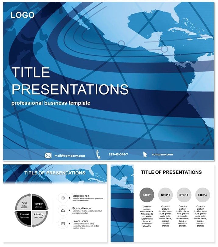
Continent Flow PowerPoint Template Maps
| Format | .pptx |
| Slides | 3 unique layouts |
| Aspect ratio | 16:9 |
| Compatibility | PowerPoint |
| Animated | No |
| Language | English |
| License | Commercial |
| File size | — |
| Version | v1.0 |
| Last updated | February 2023 |
What's inside
Map out the invisible forces shaping our world with a template that flows as smoothly as ocean currents. The Flow Around Continent PowerPoint Template turns abstract environmental data into accessible visuals, perfect for those unraveling the planet`s rhythms.
Centered on a subtle world map, its eye-friendly palette suits extended viewings, while 28 diagrams dissect winds, tides, and migrations. Tailored for PowerPoint 2016+, it`s editable down to the last contour line, blending geography with graphic elegance.
For educators and analysts seeking to demystify global patterns, this is essential. One-time $22 buys perpetual access, fueling endless explorations.
Core Features for Global Insights
- Three Master Designs: Anchor your global story cohesively.
- Three Map Backgrounds: Vary detail levels for focus.
- 28 Flow Diagrams: From streamlines to vector fields.
- Seven Color Gradients: Mimic natural spectra.
- High Customizability: Layer your data atop maps.
These tools transform raw info into flowing narratives.
Slide-by-Slide Flow Breakdown
Begin with slide 1`s gulf stream path, a curved arrow overlay tracing Atlantic loops. Slide 6 introduces wind rose diagrams, plotting directions around continents.
Deeper in, slides 15-20 feature contour maps for pressure systems, with isolines that hug landmasses. End with slide 28`s integrated climate model, combining currents and trade winds in a holistic view.
Animations simulate movement, bringing static maps to life.
Applications in Education and Beyond
Teachers illustrating El Niño: Use streamline slides to show ripple effects on fisheries. Researchers in climate conferences deploy vector fields to argue policy shifts, backed by visual proof.
Environmental NGOs map migration routes, advocating with data-driven flows. Feedback highlights how these decks foster deeper understanding, sparking discussions that last.
Better Than Stock Map Templates
Basic PowerPoint maps are rigid; this one`s fluid, with scalable paths and thematic ties that engage. It outpaces defaults in precision and polish, ideal for authoritative delivery.
Chart your course - Get the Continent Flow Template and let your ideas circulate globally.
Frequently Asked Questions
Works with which PowerPoint?
2016 and newer, across platforms.
Can I add real GIS data?
Yes, import layers for enhanced accuracy.
Guarantee on purchase?
30-day refund for peace of mind.
Backgrounds changeable?
Fully - swap maps or tones as needed.
Animations customizable?
Tailor speed and sequence easily.
Format for sharing?
.potx for edit, PDF export ready.
Good for
- Project roadmaps and sprint plans
- Product launch timelines
- Quarterly or annual review decks
- Company history and milestone summaries
Licence
reviews
Had to make a sales report last minute and this saved me. The arrow diagrams were easy to adjust.
Not bad, but the color scheme was a bit too bright for my boss's taste.
Used the chart slides for a school project on renewable energy, worked fine.
Just needed something simple, this did the job without any fuss.
The icons are neat but I wish there were more placeholder options for text.
FAQ
Will it work in Google Slides?
Are fonts embedded?
Can I use this for client work?
What's the refund policy?
Do you update the template after purchase?
Similar templates
See all PowerPoint Templates →


All 1 slides