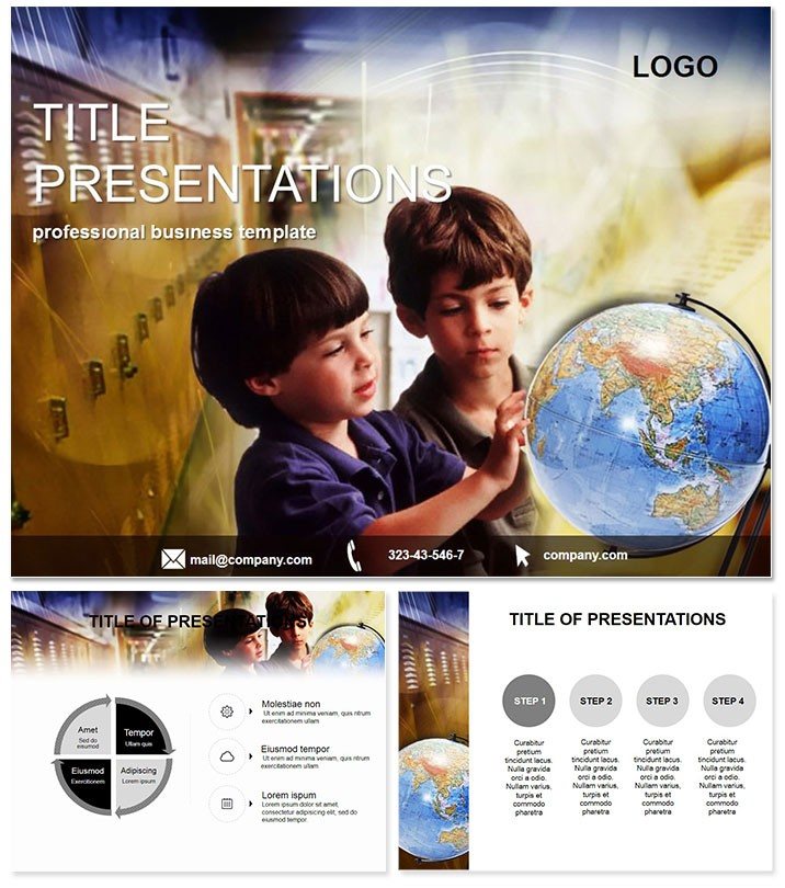
Envision unrolling a world map that doesn`t just show borders but sparks curiosity about cultures and climates - right in your next class or report. The Globe World Geography PowerPoint Templates make that vision real, offering a gateway to interactive learning with 28 diagram-rich slides and seven adaptable color schemes. Crafted for primary educators, geographers, and travel planners, this toolkit turns flat facts into fascinating explorations, helping you connect dots across continents with ease and elegance.
Navigate with Precision and Panache
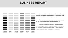
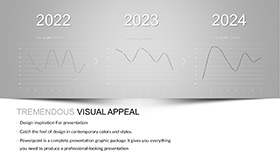
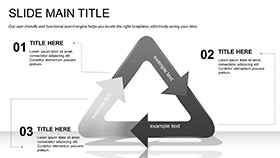
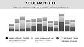
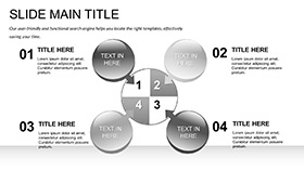
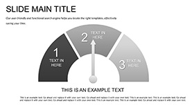
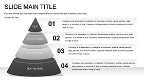
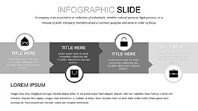
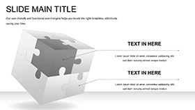
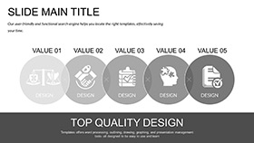
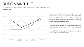
Central to this template are 28 diagrams dedicated to worldly themes: Continent outlines, migration flows, and climate zone charts, all framed by three masters and backgrounds that evoke a spinning globe`s allure. Tweak seven color schemes - from earthy tones for landmasses to oceanic blues for water bodies - to suit your lesson plan or project palette.
Built for PowerPoint 2016+, it ensures smooth performance on any setup, with intuitive editing that lets you layer in stats or stories without hassle. Outshines generic slides by incorporating compass icons and latitude lines that ground your content in geographic authenticity.
Core Features for Global Impact
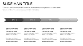
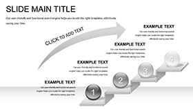
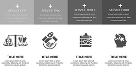
- Masterful Structures: Three templates for overviews, regional spotlights, or global summaries.
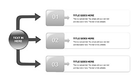
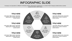
- Diagram Depth: From population pyramids to trade route timelines, all scalable and insightful.
- Scheme Flexibility: Seven options for thematic harmony or accessibility tweaks.
- Interactive Edge: Hyperlink-ready for drilling into country profiles.
These elements streamline creation, freeing you to infuse passion into every projection.
From Classroom Maps to Corporate Overviews
Teachers in primary schools can animate tectonic plate shifts with sequence diagrams, turning geology into a gripping tale for young minds. For higher ed, professors map economic disparities via heat maps, fostering debates on sustainable development.
Professionals? Consultants illustrate supply chains snaking across borders with network graphs, clarifying complexities for stakeholders. Non-profits use it for impact reports, stacking bar charts to show aid distributions worldwide. Versus plain PowerPoint, which scatters data like uncharted territory, this template charts a clear course, with users noting heightened comprehension through its exploratory design.
Superior to Stock Options
Built-ins lack the worldly motifs that make geography pop; here, every slide invites discovery, positioning you as a guide rather than a lecturer.
Download now to map out mastery in your presentations.
Seamless Global Integration
Enhance with GIS data imports or video embeds of virtual tours, all within the robust .potx framework. Collaborative? Share masters for group annotations on shared drives. Lifetime utility means endless adaptations for evolving curricula or ventures.
Chart Courses That Captivate
Step beyond boundaries with slides that broaden horizons. Customize instantly your worldly wisdom and lead explorations that endure.
Frequently Asked Questions
What topics does this template cover best?
Geography essentials like maps, climates, and migrations via 28 dedicated diagrams for PowerPoint 2016+.
Ideal for primary school use?
Yes, simplifies complex worlds into fun, visual lessons.
Color customization options?
Seven schemes to fit educational or professional needs.
File compatibility details?
.potx for editing, .jpg for quick views.
Supports hyperlinks?
Yes, perfect for linking to external resources.
Mac-friendly?
Fully, with all features intact.