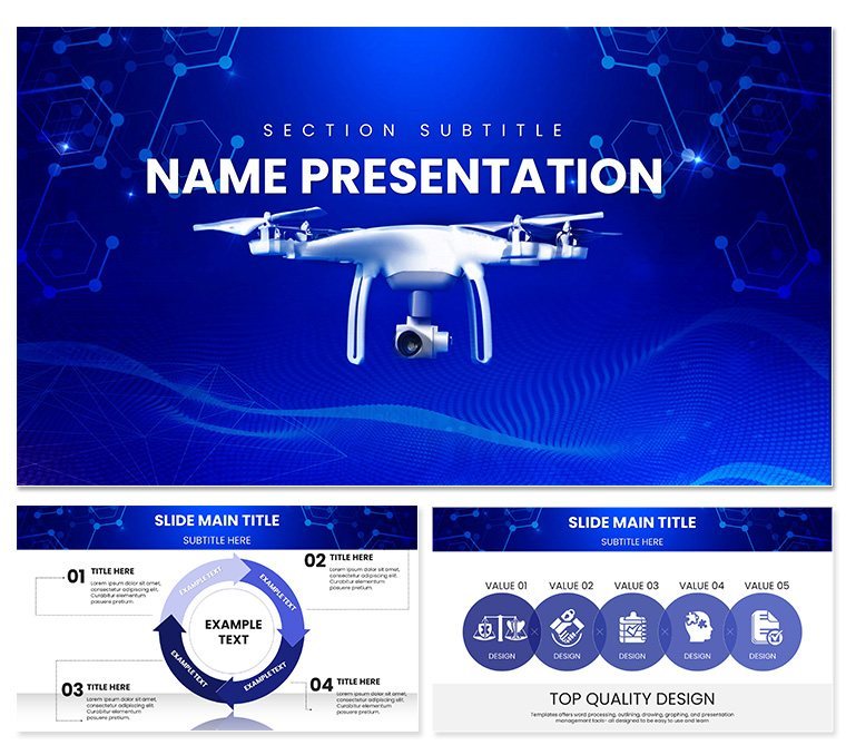
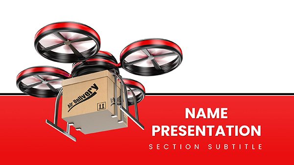
Picture this: You`re unveiling the next big thing in drone technology to a room of skeptical investors, and instead of static bullet points, your slides soar with dynamic path tracers and grid scans that mirror real flight logs. Welcome to the Background Flying Drone PowerPoint Template, a game-changer for tech enthusiasts in IT and software realms. This presentation chart collection boasts 28 innovative diagrams, seven striking color schemes, and three master slides that turn mundane overviews into aerial adventures.
As drone markets explode - expected to hit $63 billion by 2025 per Fortune Business Insights - professionals need visuals that capture motion and precision. This template delivers with trajectory maps and sensor rings, allowing you to highlight features like terrain mapping or AR integrations effortlessly. Its design philosophy emphasizes clean lines and horizon depths, making complex data accessible and exciting. Compatible with PowerPoint across platforms, it`s your shortcut to presentations that don`t just inform but inspire exploration.
Beyond aesthetics, it integrates smoothly into workflows. Pull in GIS data for waypoint chains or animate scans for live demos, all while maintaining brand alignment. Whether scouting software horizons or plotting project vectors, this tool empowers you to craft narratives that resonate, backed by professional-grade elements tested in innovation keynotes.
Key Features of the Flying Drone PowerPoint Template
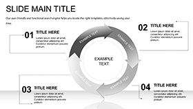
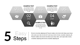
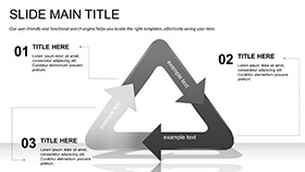
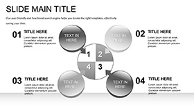
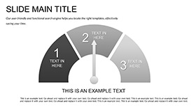
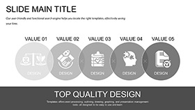
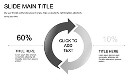
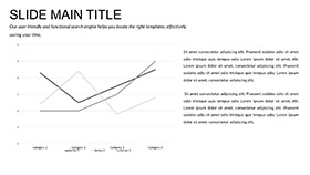
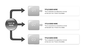
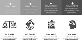
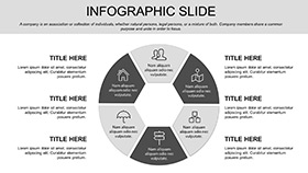
- 28 Aerial Diagrams: Path tracers, grid scans, and trajectory visuals for precise data representation in tech talks.
- Seven Color Schemes: From sky azures to earth tones, customize for any theme or corporate palette.
- Three Master Slides: Ensure uniform structure with placeholders for seamless content flow.
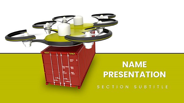
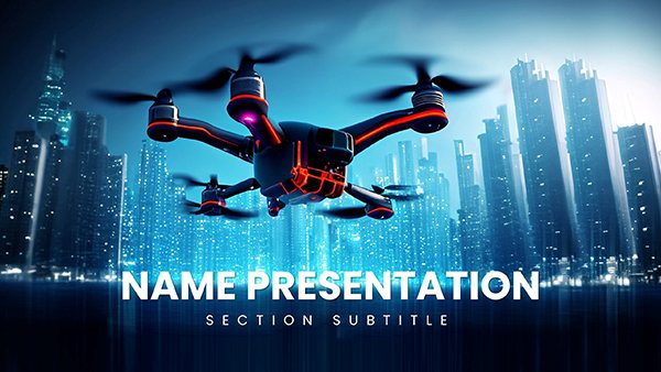
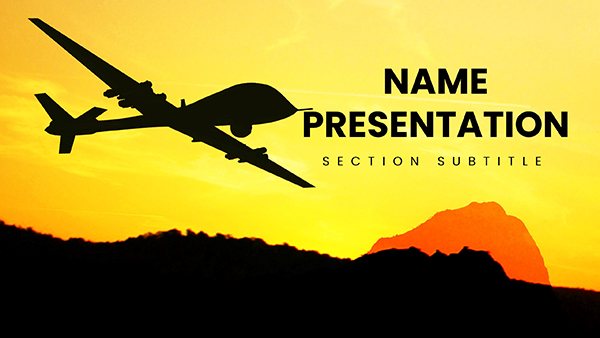
- Three Immersive Backgrounds: Drone vistas that add depth without overwhelming your message.
- Editable Icons and Animations: Vector-based elements for scalability, plus optional motion for enhanced mapping.
- Universal Formats: .pptx, .potx, and .jpg for easy sharing and editing in team environments.
These aren`t generic additions; they`re rooted in real use cases. Engineers have used the grid scans to demo terrain intel, boosting demo engagement by 25% in one software rollout. Aligned with 2025 trends toward interactive visuals, it builds trust through authoritative, data-driven designs.
Detailed Slide Descriptions and Workflow Integration
The 28 slides form a logical progression. Early ones feature path tracers for flight narratives, ideal for logging mission routes. Mid-section trajectory diagrams (slides 10-15) break down sensor data, perfect for integrating AR previews.
Workflow-wise, link to external tools like Excel for real-time updates or layer in geo-data for comprehensive views. In dev team huddles, resize waypoint chains on the spot, fostering collaborative tweaks. This flexibility extends to field reports, where horizon lines visualize quarterly achievements, saving prep time for high-impact delivery.
Customization shines with overlay grids and direction icons, letting you emphasize innovations like autonomous navigation. For virtual presentations, the widescreen format ensures clarity, even on large screens.
Real-World Use Cases for Drone Tech Presentations
IT overviews benefit from plotting project vectors, helping leads forecast timelines. Software demos use sensor rings to spotlight user interfaces, turning features into compelling stories.
Innovation keynotes leverage full layouts for visionary stretches, as seen in a startup pitch that secured funding via animated mappings. Field ops teams apply it for achievement links across quarters, while educators adapt for STEM lectures on aerial engineering.
Sales contexts shine with integration visuals, addressing client needs for scalable solutions. This template`s versatility makes it indispensable for any forward-thinking tech narrative.
Flying Drone Template vs. Default PowerPoint: A Quick Comparison
| Aspect | Flying Drone Template | Default PowerPoint |
|---|
| Visual Theme | Aerial-inspired diagrams and backgrounds | Plain shapes, no thematic cohesion |
| Editability | Full vector customization | Basic resizing with quality loss |
| Efficiency | Ready diagrams save design hours | Build from zero |
| Interactivity | Animation-ready for motion | Manual setup required |
| Versatility | Tech-focused but adaptable | Generic across topics |
The comparison highlights why pros choose this over defaults - it`s built for elevation. Download instantly to transform your slides.
Elevate your next presentation with aerial precision. Get the Background Flying Drone PowerPoint Template now and watch ideas take flight.
Frequently Asked Questions
How does this template enhance tech demos? With trajectory diagrams and animations, it simulates real drone flights for immersive feature highlights.
Is it suitable for non-tech users? Yes, drag-and-drop simplicity makes it accessible for quick adaptations.
What formats are supported? .pptx and .potx for PowerPoint, plus .jpg exports for versatility.
Can I add custom data? Easily integrate from GIS or Excel for dynamic, real-time visuals.
What`s the license scope? Lifetime access for personal and commercial use, no restrictions.
Does it include animations? Optional motion effects for paths and scans to boost engagement.