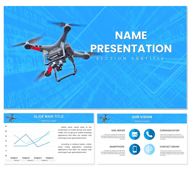
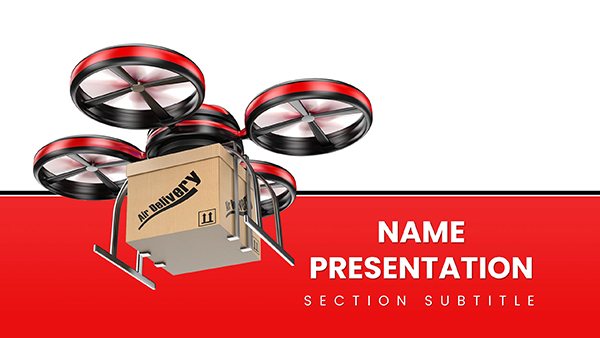
From blueprint to bird's-eye, commercial drones redefine how we see projects - now let your presentations take flight with the Drone Commercial PowerPoint Template. This 28-diagram set maps out terrains and timelines for realtors showcasing parcels, builders tracking progress, or surveyors detailing contours, all with an overhead vantage that clarifies the big picture. Three masters and backgrounds incorporate horizon lines and grid overlays, evoking vast sites under scrutiny.
Seven schemes range from dawn azures for site assessments to dusk ambers for wrap-up reviews, optimized for projection clarity. At $22, it's a lightweight lift into PowerPoint proficiency, slashing sketch time while stacking persuasive layers for client conversions.
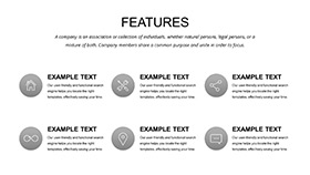
Elevating Essentials: Prime Features
Engineered for altitude, these assets ascend your arguments. Masters calibrate consistent cues - like scale bars as drone paths - while backgrounds trace faint flight traces for immersive immersion.
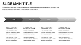
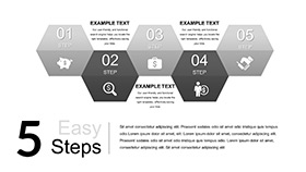
- 28 Aerial Diagrams: Specialized spans like orthographic overviews or elevation ellipses, tuned for topo data.
- Seven Sky Schemes: Variants from "Zenith Clear" for precise palettes to "Nadir Night" for shadowed surveys.
- Map Modules: Dozens of overlays from contours to annotations, zoomable without blur.
Adaptation ascends easily: pinpoint a topo line on a contour plot, input survey coords, and elevations elevate automatically. Wipes simulate drone pans, conveying sweeps sans stock footage.
Hovering Over Hacks: Customization Corner
Through layout lens, propagate panorama prefs - align aeries to agency aesthetics pronto. Zero in on a phased plot partitioning parcels, repartition per plot plans, tags tagging true. Fuse flyover frames into frames for factual flair.
- Sequence staging scans in storyboard strips, syncing shots sequentially.
- Attach to GIS exports, auto-adjusting altitudes accurately.
- Hover in hybrid view to harmonize hover heights.
These elevations ensure your edits endure scrutiny.
Mapping Milestones: Core Contexts
Realtors reveal rookeries: isometric isles isolate ideal lots, illuminating infra for investor intrigue. Build bosses blueprint builds: progress polygons pulse per pour, plotting paces persuasively.
Survey savants sector soils in sector scans, silos sifting stability stats. Compliance crews cascade codes in compliance cascades, crests cresting criteria clearly.
Build-Bound Blueprints
Dev dreamers diagram districts in district diagrams, districts delineating developments. Against average aeries, this avails authentic avians, ascending absorption over amorphous abstracts.
Boost with beacon binds: beacon bids on bids, beaming backer buzz for buoyant bids.
Ascending Agendas: Fusion Flows
Plot with panorama previews - project prisms to plots. Partitioned portfolio pinpoints "ortho" or "elevation" entries. Link to lidar loads for live lifts, layouts layering latest layers.
Peak pointer: pinnacle panorama pooling priors, like a pilot's perch for panoramic perusals. This launches your lore from lofty to landmark.
Set to summit your spreads? Scoop the Drone Commercial PowerPoint Template for $22 and ascend assuredly.
Frequently Asked Questions
Fits for residential surveying too?
Sure, scales down seamlessly to suburb scopes.
High-res for 4K displays?
Vector vitality validates vividness at ultra resolutions.
Path animations for flight recaps?
Fundamentals fly, extensible for elaborate excursions.
Layer locks for map mods?
Locked layers liberate locale liberties.
Export ease to planning portals?
PDF primes for portal pastes precisely.