 Click to zoom
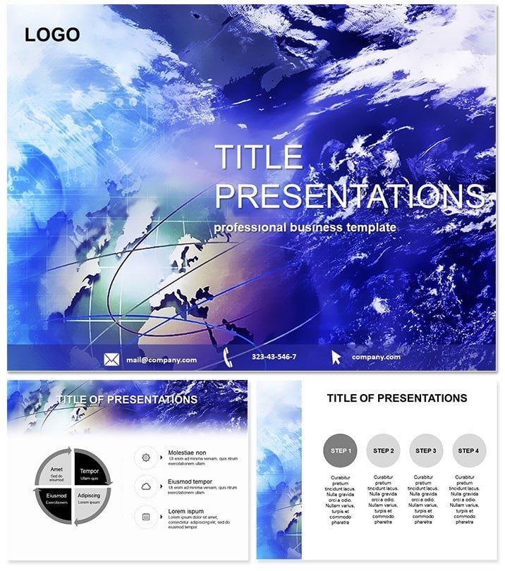
Earth from Space Science PPT Template
| Format | .pptx |
| Slides | 3 unique layouts |
| Aspect ratio | 16:9 |
| Compatibility | PowerPoint |
| Animated | No |
| Language | English |
| License | Commercial |
| File size | — |
| Version | v1.0 |
| Last updated | February 2026 |
What's inside
Gaze upon our blue marble from afar and let wonder fuel your teachings - this Earth from Space PowerPoint template reimagines science education as a cosmic adventure. Perfect for geographers, astronomers, and project leads, its orbital views and data-rich diagrams make global phenomena graspable, from climate patterns to continental drifts.
Powered for PowerPoint 2016+, this $22 eternal access unlocks universe-scale storytelling. Blast off to enhanced learning.
Global Perspectives Through Stellar Design
Science demands awe, and this template delivers with satellite-inspired aesthetics. Three masters: starry voids for deep space, atmospheric layers for earth sciences, or grid maps for precise plotting.
Seven schemes - from aurora greens to solar flares - ignite curiosity. Animations orbit elements smoothly, simulating planetary motion. Informed by STEM educators, it demystifies data, fostering deeper understanding.
Key Features for Exploratory Excellence
- 28 Geo-Diagrams: Contour maps for elevations, orbital paths for satellites, heatmaps for climates.
- Three Cosmic Backgrounds: Immersive views evoking ISS feeds.
- Seven Celestial Palettes: Adapt to topics like volcanic reds or oceanic blues.
- Precision Edits: Geo-coordinates embeddable; scale bars auto-adjust.
- Interactive Layers: Zoomable for detailed explorations.
These propel presentations from flat to phenomenal.
Mapping the Slide Galaxy
Launch with a full-Earth spin, captioned for your quest. Slide 3`s latitude-longitude grid orients overviews. For projects, slide 8`s cycle diagram loops water evaporation.
Geography gems: slide 15`s tectonic puzzle assembles plates interactively. Data dives use slide 21`s line graphs for temp trends over decades. Close with slide 28`s future forecast radar, projecting changes.
Twenty-eight slides chart courses from basics to breakthroughs.
Cosmic Contexts in Real Education
A middle school teacher maps curricula with biome pyramids, engaging kids in habitat hunts. University profs use orbital timelines for space history, captivating lectures.
Environmental NGOs pitch conservations via impact funnels, swaying donors. One project coordinator lauded it for grant proposals, visuals clarifying global stakes. From labs to conferences, it earths abstract ideas.
Surpassing Stock Space Slides
Default maps are static; this orbits dynamically, with GIS-ready vectors saving research time. High-res renders prevent distortion, and AR previews hint at future tech.
It`s a launchpad for innovation, not just illustration.
Reach for the stars - Download Earth from Space today and elevate discourse.
Frequently Asked Questions
Include real satellite data?
Importable via CSV for authentic visuals.
For K-12 or higher ed?
Scalable complexity for all levels.
Lifetime updates?
$22 buys perpetual access and tweaks.
Export to other formats?
Yes, to images or interactive PDFs.
Customize projections?
Mercator to polar, all editable.
Animation speed adjustable?
Fine-tune for pace control.
Good for
- Project roadmaps and sprint plans
- Product launch timelines
- Quarterly or annual review decks
- Company history and milestone summaries
Licence
reviews
Used the contour maps for elevations in an environmental science report. The orbital paths for satellites were very accurate.
The tectonic puzzle for assembling plates is interactive but the aurora green color scheme is distracting.
the cycle diagram for looping water evaporation is very clear.
I like the heatmaps for climates. The satellite-inspired aesthetics look professional.
Helped me prepare a lecture on climate patterns. The high-res renders made the data look great.
FAQ
Will it work in Google Slides?
Are fonts embedded?
Can I use this for client work?
What's the refund policy?
Do you update the template after purchase?
Similar templates
See all PowerPoint Templates →


All 1 slides