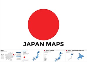
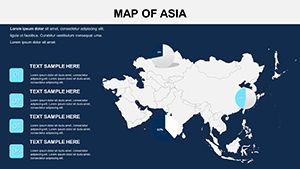
Asia Countries Keynote Map Template: Navigating the East with Elegance


Type: Keynote Maps template
Category: Asia
Sources Available: .key
Product ID: KM00159
Template incl.: 14 editable slides
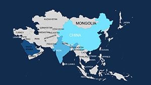
In the bustling crossroads of ancient silk roads and cutting-edge innovation, Asia commands attention like no other continent. Our Asia Countries Keynote Map Template empowers you to capture that dynamism in your next presentation, whether it's a lecture on the rise of Southeast Asian economies or a strategy session on supply chains threading through the Himalayas. With 14 meticulously crafted editable slides, this template turns complex geographies into compelling narratives, all optimized for Keynote's intuitive interface.
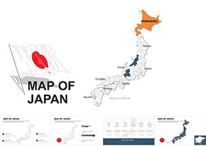
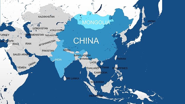
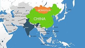
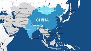
Targeted at analysts, academics, and entrepreneurs who live for data-driven stories, this isn't your average map pack. It's a toolkit for highlighting everything from the Korean Peninsula's tech boom to Japan's island archipelagos, complete with seas like the Yellow and East China that define maritime trade routes. Struggling with bland visuals that fail to convey the scale of India's population centers? Swap in custom gradients for urban heat, embed growth projections for Mongolia's mining sector, or animate borders to trace the Belt and Road Initiative's path. The result? Slides that don't just inform - they inspire action and spark dialogue.
Precision Mapping: Standout Features for Asia Enthusiasts
What elevates this template from good to game-changing? It's the blend of precision engineering and creative freedom, tailored for Keynote pros who value efficiency. Explore the lineup:
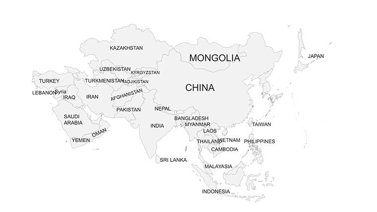
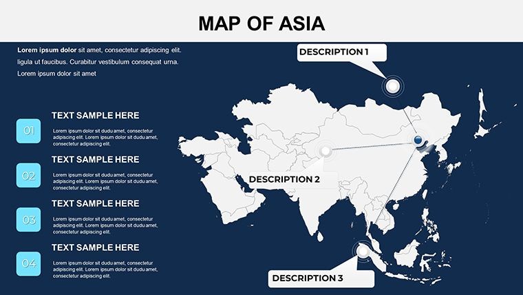
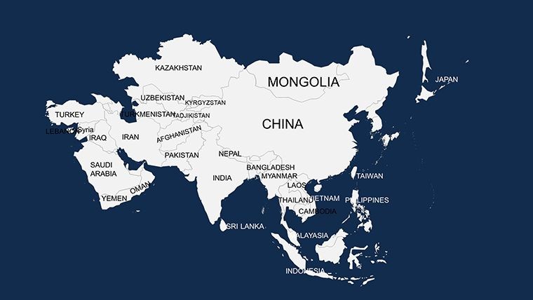
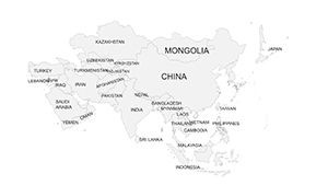
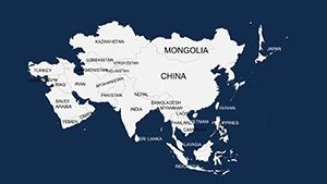
- Detailed Country Outlines: Crystal-clear vectors covering 48 Asian nations, from the steppes of Kazakhstan to the coral reefs of the Philippines - zoom without compromise.
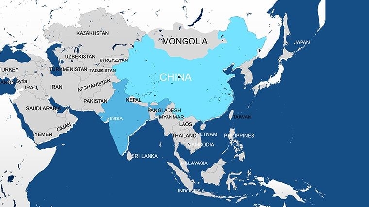
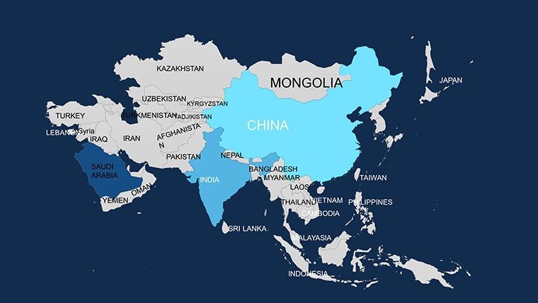
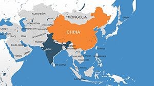
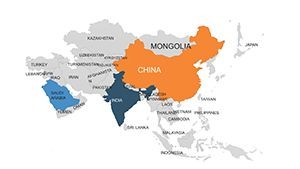
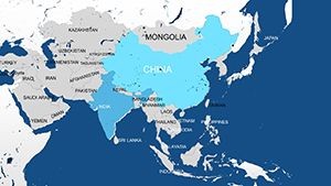
- Effortless Region Tweaks: Select and stylize any area: tint the South China Sea in strategic blues or bold the Ganges River basin for environmental talks.
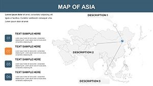
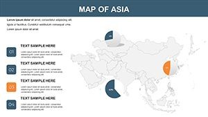
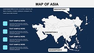
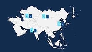
- Integrated Diagram Suite: Over 30 pre-built charts, like flow maps for migration patterns or bubble plots for GDP disparities, ready to layer on.
- Cultural Icon Vault: Infuse authenticity with symbols - pagodas for heritage sites, circuit boards for Singapore's silicon edge - scaling perfectly across devices.
- Animation-Ready Builds: Sequence reveals from the Bering Strait westward, building suspense in your global connectivity pitch.
Unlike generic Google Maps exports that lock you into static views, this template thrives on interactivity. A supply chain consultant in Shanghai shared how it streamlined her TED Talk on Asian logistics, cutting prep time by half while doubling audience Q&A engagement.
From Lecture Halls to C-Suites: Tailored Use Cases
Adaptability is key - here's how this template shines in the wild. For educators unpacking the Opium Wars, Slide 5's timeline overlay on colonial ports brings history to life, aligning with IB curriculum standards for visual literacy.
- Academic Explorations: Professors, map cultural exchanges along the ancient Spice Route, adding pop-up facts on Indonesia's archipelago diversity to captivate undergrads.
- Corporate Strategy Sessions: VPs, visualize market penetration in Vietnam's deltas versus Thailand's highlands, integrating SWOT grids for sharper forecasts - users note 30% quicker team alignments.
- Policy Briefings: NGOs, highlight refugee flows across the Rohingya crisis zones, with empathetic color schemes that underscore humanitarian needs without sensationalism.
Workflow Hack: Import KML files from GIS tools like ArcGIS for hyper-accurate boundaries, then export frames as GIFs for social teasers. It's the bridge between raw data and polished prose.
Mastering Customization: Pro Tips to Amplify Your Asia Story
Dive into personalization with confidence. Kick off by choosing a motif - monsoon greens for eco-themes or neon accents for urban futures. Leverage Keynote's master slides to uniform fonts across your deck, ensuring the Thai script on Bangkok landmarks reads crisp. For depth, stack semi-transparent layers: one for topography, another for trade volumes, revealing the Indo-Pacific's economic pulse.
Accessibility matters too - embed ARIA labels for voice-over compatibility, making your maps inclusive for global webinars. And for flair, apply subtle shadows to island chains, evoking the misty veils of Japanese folklore.
As one Asia-Pacific Forum speaker put it, "This template didn't map Asia - it mapped possibilities." Whether dissecting the Quad alliance or dreaming up a pan-Asian startup tour, your slides will echo with relevance.
Edge Over the Rest: Why This Template Wins
Free alternatives often skimp on resolution, leading to embarrassing blurs in high-stakes venues. Ours? 4K-ready, watermark-free, and backed by unlimited revisions. For $16, it's an investment that pays dividends in credibility and closes.
Seize the moment - secure your Asia Keynote Map Template now and navigate toward narratives that stick. The East is calling; answer with visuals that command.
Frequently Asked Questions
Can I add my own data to the maps?
Yes, import CSV for heatmaps or link to APIs for live stats on trade routes - updates in real-time.
Does it support multiple languages?
Absolutely, with Unicode fonts for scripts like Mandarin or Arabic, ensuring global reach.
What's the resolution for exports?
Up to 300 DPI for prints or 1080p video - ideal for conference handouts or YouTube embeds.
Is it suitable for beginners?
Definitely; drag-and-drop simplicity, plus video walkthroughs for first-timers.
How many styles are available?
Five core themes, from minimalist wireframes to illustrative vibrancy - mix and match freely.
Can I resell customized versions?
Personal use only; for commercial derivatives, upgrade to our pro license.