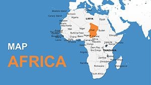
Explore Africa's Dynamic Landscape with Our Editable Keynote Maps Template


Type: Keynote Maps template
Category: Africa
Sources Available: .key
Product ID: KM00157
Template incl.: 12 editable slides
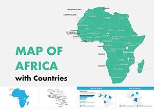
Step into a world where Africa's 54 diverse nations unfold before your eyes, from the Sahara's endless dunes to the lush Congo Basin rainforests. Our Africa Maps Keynote Template equips you to craft presentations that capture this continent's vibrancy and complexity. Boasting 12 fully editable slides for Apple's Keynote, it's engineered for global thinkers - researchers dissecting economic trends, NGOs charting aid distributions, or businesses eyeing market expansions. Highlight Ethiopia's highlands for agricultural insights or trace trade routes along the Nile, all with ease.
Anchored in up-to-date data from organizations like the African Union and World Bank, this template merges accuracy with adaptability. Recolor countries to denote GDP growth, add legends for population stats, or animate borders for conflict analyses. High-res graphics ensure every detail pops on screens, turning data-heavy talks into engaging journeys. Move beyond static images; embrace a resource that fuels informed discourse.
Core Features Driving Global Insights
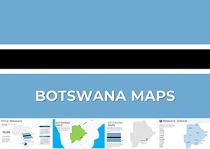
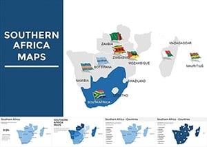
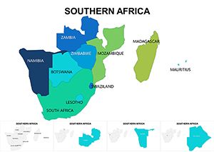
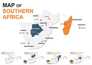
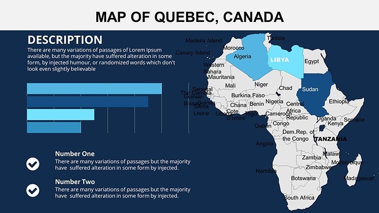
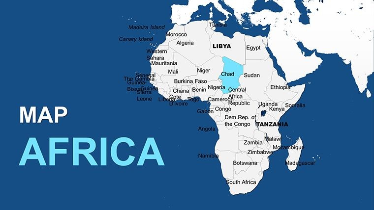
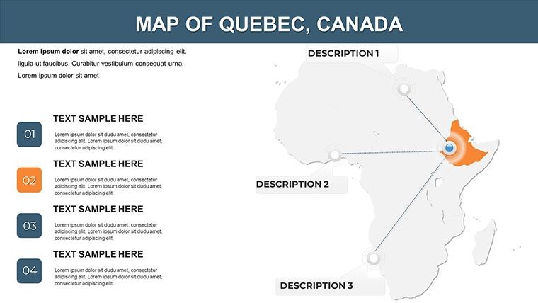
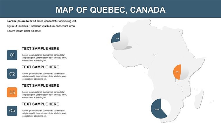
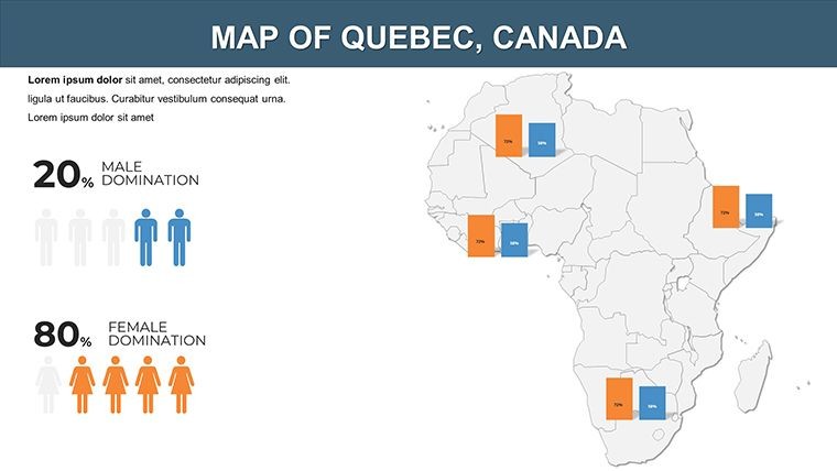
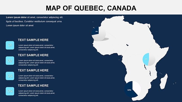
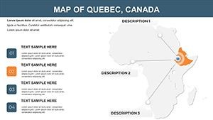
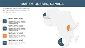
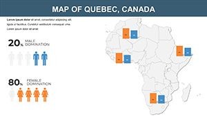
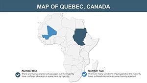
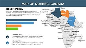
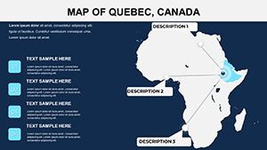
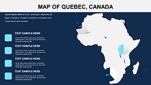
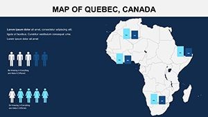
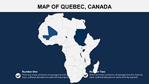
The 12 slides form a robust toolkit: Slides 1-4 present continental overviews, with editable outlines of regions like Sub-Saharan Africa or the Maghreb. Slides 5-8 focus on country-specific zooms, allowing customizations for nations like Nigeria's economic zones or South Africa's provinces - ideal for demographic studies.
Slides 9-10 incorporate charts, such as choropleth maps for literacy rates or icons for natural resources (diamonds in Botswana, oil in Angola). The last slides, 11-12, offer layered options like climate zones or trade blocs (ECOWAS, SADC), with animations for sequential reveals.
- Comprehensive Editability: Tailor every country, label, and hue effortlessly.
- Precision Graphics: Vector-based for scalable, sharp visuals.
- Africa-Centric Icons: Elements like baobab trees or wildlife for thematic depth.
- Interactive Animations: Build layers progressively for storytelling.
Impactful Benefits for Diverse Audiences
Witness the difference: An NGO like Oxfam used mapped visuals to secure funding for Sahel drought relief, mirroring gains reported by the United Nations Development Programme. In academia, it supports IB Geography curricula, visualizing urbanization in Lagos to foster critical thinking, as per educational benchmarks from UNESCO.
With LSI integrations like "African geopolitical maps" or "continent economic visualizations," it's primed for research databases. Suited for international webinars, ensuring cross-platform fidelity.
Broad Use Cases Across Africa's Mosaic
This template thrives in multifaceted contexts. Policy analysts can map refugee flows in the Horn of Africa, compliant with UNHCR protocols. Corporations like Unilever might illustrate supply chains from Kenyan tea farms to Moroccan ports.
Educators depict colonial histories, editing borders for pre- and post-independence views. Health organizations track Ebola outbreaks in West Africa with heat maps. Cultural promoters highlight festivals from Marrakech to Cape Town.
- Pick a slide and upload your data.
- Customize schemes to represent themes - greens for forests, yellows for deserts.
- Add specifics, like labeling Victoria Falls.
- Animate for emphasis, revealing regions one by one.
- Present globally, inspiring action.
Superior to rudimentary tools, it delivers curated detail for Africa's scale.
Expert Strategies for Continental Narratives
Amplify by layering stories - zoom from Africa-wide to country close-ups. Source from credible entities like the African Development Bank for trustworthiness. Enhance accessibility with color-blind friendly palettes, per WHO guidelines, and optimize for export.
Tip: Use for comparative studies, like GDP per capita overlays, as in World Economic Forum sessions.
Why This Template Leads the Pack
It captures Africa's nuances, from island nations like Seychelles to landlocked ones like Chad, outpacing generics. Praised by attendees at AU summits, it's essential for informed visuals.
Prepared to chart Africa's future? Acquire this template and ignite discussions today.
Frequently Asked Questions
How many countries are fully editable?
All 54 African countries, plus disputed territories, are editable.
Does it include economic data layers?
Yes, with customizable legends for GDP, trade, etc.
Is it for commercial projects?
Yes, royalty-free for business and non-profit alike.
What about updates for political changes?
Free updates ensure current borders and names.
Can I combine with other Keynote elements?
Seamlessly, for hybrid text-map slides.
Supports multiple languages?
Yes, edit labels in any language Keynote handles.