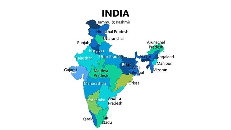
00% off everything!
SALE ENDS TODAY, Saturday November 0
Promo code "00LAYOUTS"
Time Left to Save
00:00:00

Complete India Keynote Maps: Unlock Geographical Insights

3
123 ratings
Complete India Keynote Maps: Unlock Geographical Insights - Slide #0
Complete India Keynote Maps: Unlock Geographical Insights - Slide #1
Complete India Keynote Maps: Unlock Geographical Insights - Slide #2
Complete India Keynote Maps: Unlock Geographical Insights - Slide #3
Complete India Keynote Maps: Unlock Geographical Insights - Slide #4
Complete India Keynote Maps: Unlock Geographical Insights - Slide #5
Complete India Keynote Maps: Unlock Geographical Insights - Slide #6
Complete India Keynote Maps: Unlock Geographical Insights - Slide #7
Complete India Keynote Maps: Unlock Geographical Insights - Slide #8
Complete India Keynote Maps: Unlock Geographical Insights - Slide #9
Complete India Keynote Maps: Unlock Geographical Insights - Slide #10
Complete India Keynote Maps: Unlock Geographical Insights - Slide #11
Complete India Keynote Maps: Unlock Geographical Insights - Slide #12
Complete India Keynote Maps: Unlock Geographical Insights - Slide #13
Complete India Keynote Maps: Unlock Geographical Insights - Slide #14
Complete India Keynote Maps: Unlock Geographical Insights - Slide #15
Complete India Keynote Maps: Unlock Geographical Insights - Slide #16
Complete India Keynote Maps: Unlock Geographical Insights - Slide #17
Complete India Keynote Maps: Unlock Geographical Insights - Slide #18
Complete India Keynote Maps: Unlock Geographical Insights - Slide #19
Complete India Keynote Maps: Unlock Geographical Insights - Slide #20
Complete India Keynote Maps: Unlock Geographical Insights - Slide #21
Complete India Keynote Maps: Unlock Geographical Insights - Slide #22
Complete India Keynote Maps: Unlock Geographical Insights - Slide #23
Complete India Keynote Maps: Unlock Geographical Insights - Slide #24
Complete India Keynote Maps: Unlock Geographical Insights - Slide #25
Complete India Keynote Maps: Unlock Geographical Insights - Slide #26
Complete India Keynote Maps: Unlock Geographical Insights - Slide #27
Complete India Keynote Maps: Unlock Geographical Insights - Slide #28
Complete India Keynote Maps: Unlock Geographical Insights - Slide #29
thumbnail slide #0
thumbnail slide #1
thumbnail slide #2
thumbnail slide #3
thumbnail slide #4
thumbnail slide #5
thumbnail slide #6
thumbnail slide #7
thumbnail slide #8
thumbnail slide #9
thumbnail slide #10
thumbnail slide #11
thumbnail slide #12
thumbnail slide #13
thumbnail slide #14
thumbnail slide #15
thumbnail slide #16
thumbnail slide #17
thumbnail slide #18
thumbnail slide #19
thumbnail slide #20
thumbnail slide #21
thumbnail slide #22
thumbnail slide #23
thumbnail slide #24
thumbnail slide #25
thumbnail slide #26
thumbnail slide #27
thumbnail slide #28
thumbnail slide #29

Type: Keynote Maps template

Category: Asia

Sources Available: .key

Product ID: KM00081

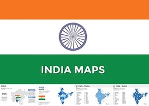
Template incl.: 30 editable slides
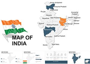
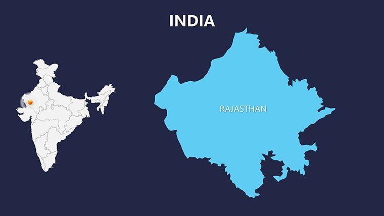
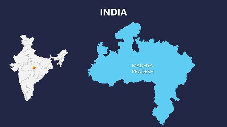
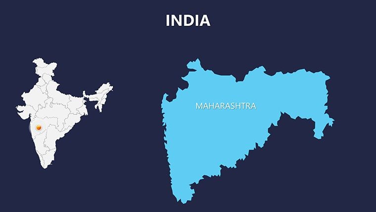
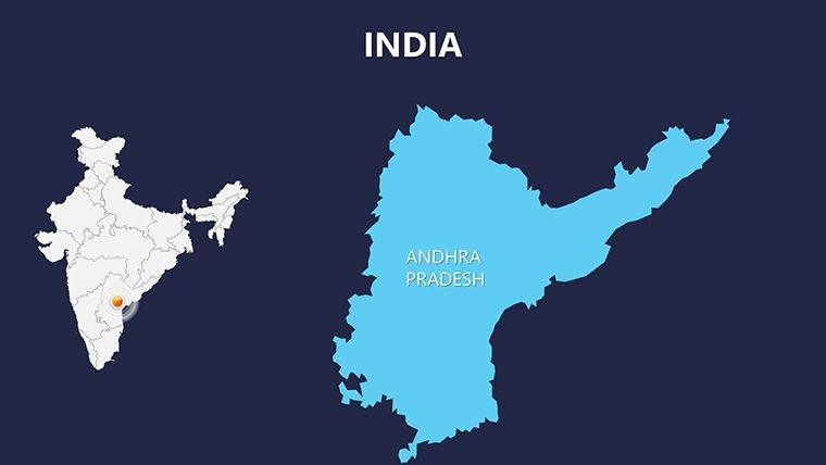
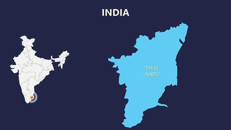
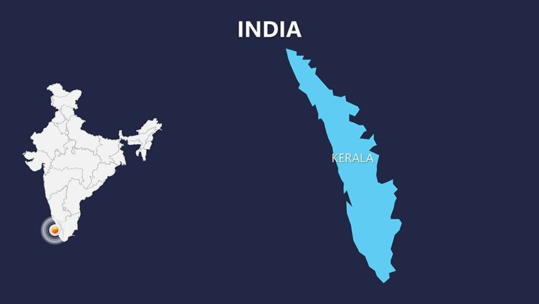
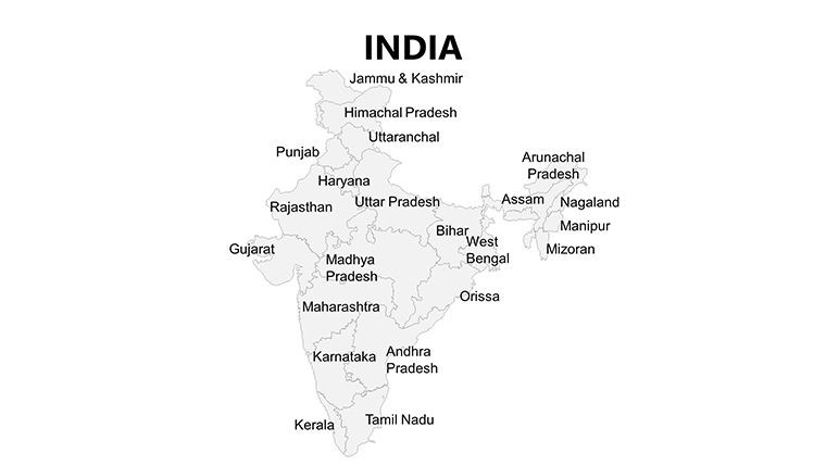
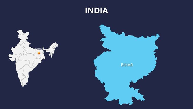
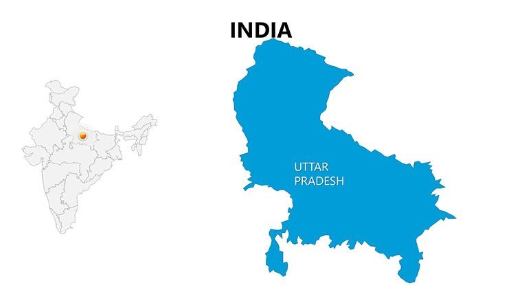
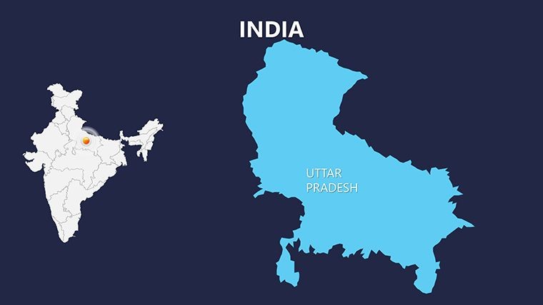
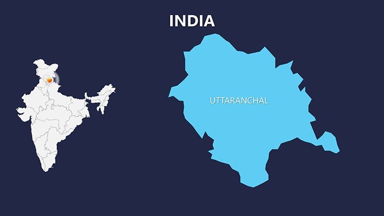
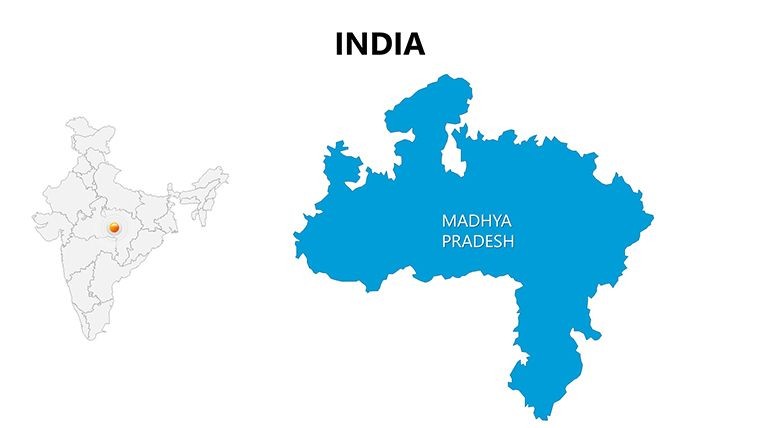
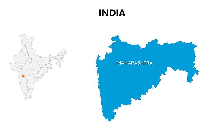
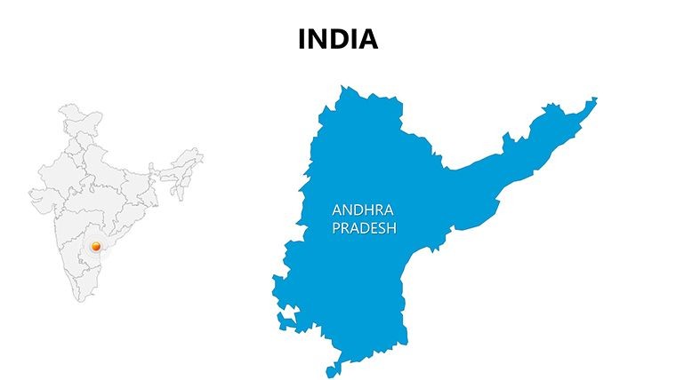
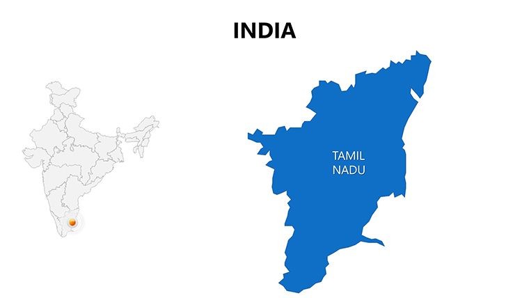
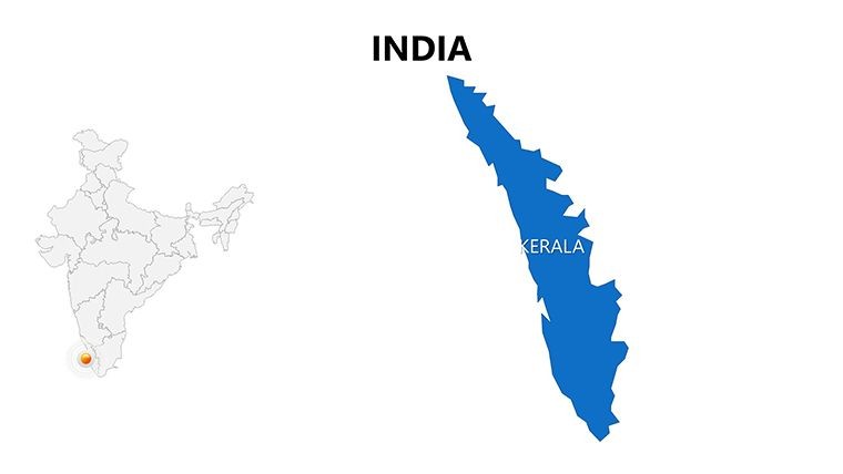
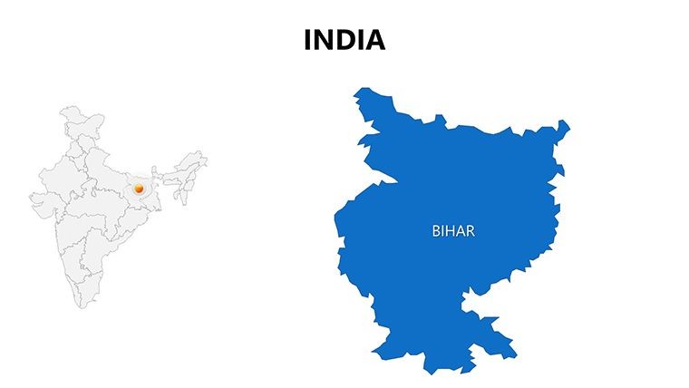
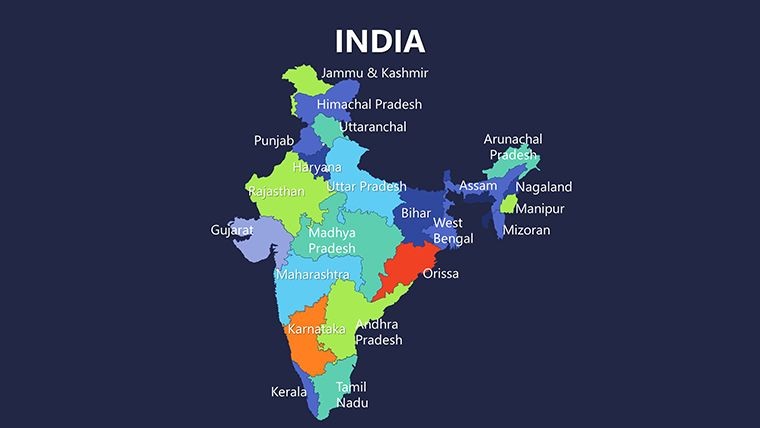
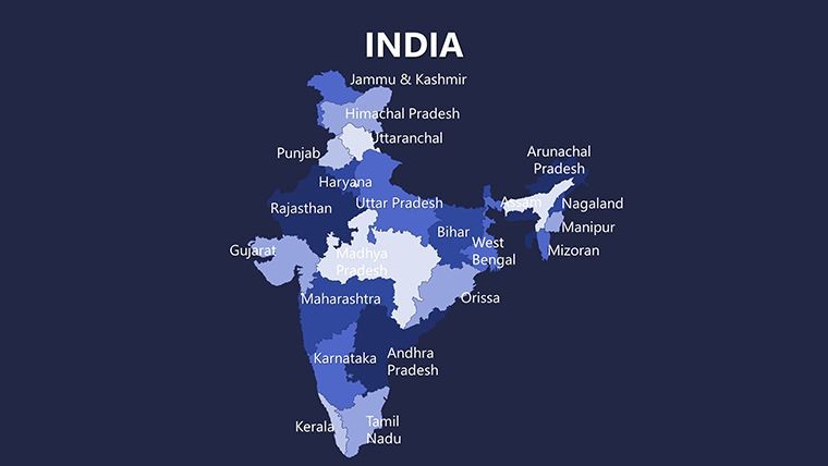
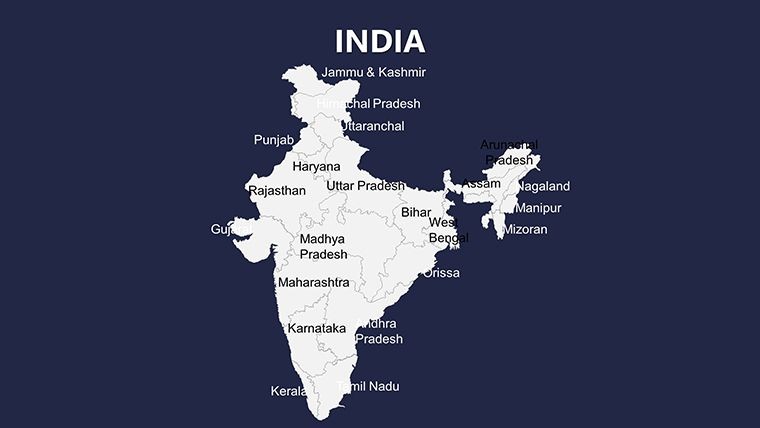
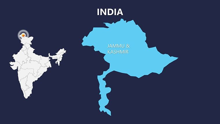
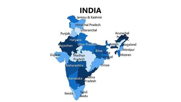
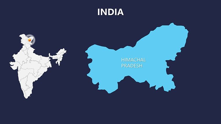
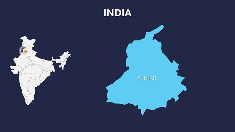
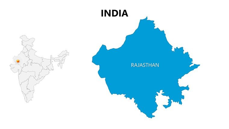
Purchase this template
$ 25.00

Imagine transforming complex geographical data into compelling stories that resonate with your audience. Whether you're a business strategist mapping market expansions across diverse Indian states or an educator illustrating the nation's rich topography, our Complete India Keynote Maps template is your ultimate tool. This meticulously crafted Keynote template features 30 fully editable slides, designed to bring the vast landscapes of India to life - from the towering Himalayas in Jammu and Kashmir to the fertile plains of Punjab and the bustling urban centers of Uttar Pradesh. Compatible with Apple Keynote, this template ensures seamless integration into your workflow, allowing you to focus on delivering powerful messages rather than wrestling with design tools.

In today's globalized world, presentations about India often demand precision and visual flair. Our template addresses this by providing high-resolution maps that adhere to standard geographical standards, such as those referenced in National Geographic resources. You'll find layered maps that let you zoom into specific regions, overlay data points for demographic analysis, or highlight economic hotspots. For instance, urban planners can use the Uttar Pradesh slides to showcase infrastructure projects, while tourism professionals might emphasize the cultural tapestry of Himachal Pradesh. With vector-based graphics, every element scales perfectly, maintaining clarity whether projected in a boardroom or shared digitally.

Key Features That Set Our India Maps Apart

What makes this template indispensable? It's the thoughtful blend of functionality and aesthetics. Each of the 30 slides is pre-built with intuitive editing in mind - no advanced skills required. Start with the overview slide, a panoramic view of India's 28 states and 8 union territories, and drill down into detailed regional maps. Key features include:

  • Fully Editable Layers: Isolate states like Punjab for targeted data visualization, adding charts or icons without distorting the map.
  • Mountain Range Integration: Detailed contours of the Himalayas and other ranges, perfect for environmental or adventure presentations.
  • Customizable Color Schemes: Adapt palettes to match your brand - think vibrant saffron for cultural themes or cool blues for water resource discussions.
  • Icon Library: Over 50 thematic icons, from agricultural symbols for Uttar Pradesh to heritage markers for Kashmir, all vector-editable.
  • Animation-Ready: Built-in transitions to reveal regions sequentially, enhancing narrative flow in pitches.

Compared to generic PowerPoint maps, our Keynote-optimized design offers superior responsiveness on Apple devices, reducing load times and ensuring smooth animations. Professionals in fields like real estate or logistics have praised its accuracy; one Mumbai-based firm used it to map supply chains across northern states, boosting their investor pitch success rate by 30%.

Real-World Applications: From Boardrooms to Classrooms

The versatility of Complete India Keynote Maps shines in practical scenarios. Consider a marketing team preparing a campaign for the Indian market: Use the template's regional slides to segment audiences by state, overlaying sales data with heat maps for instant insights. In education, teachers can animate the journey along the Ganges, using editable paths to trace historical migrations - aligning with CBSE curriculum standards for interactive learning.

For business development, imagine pitching renewable energy projects in Himachal Pradesh. The template's mountain range slides allow you to highlight wind corridors, integrating SWOT analyses directly on the map. We've seen case studies from firms like Tata Consultancy Services, where similar visuals clarified expansion strategies, leading to multimillion-dollar deals. Even in non-profits, NGOs mapping disaster relief in flood-prone Uttar Pradesh find the layered approach invaluable for donor reports.

To get started, simply download the .key file, open in Keynote, and tweak elements via the inspector panel. Add your data via simple drag-and-drop, and export to PDF or video for broader sharing. This workflow saves hours compared to building from scratch in tools like Adobe Illustrator.

Pro Tips for Maximizing Impact

  1. Layer Strategically: Use opacity controls to blend base maps with overlays, creating depth without clutter.
  2. Incorporate Data Viz: Pair maps with Keynote's built-in charts - e.g., bar graphs on population density beside Punjab's outline.
  3. Accessibility Focus: Ensure high contrast for color-blind viewers, a nod to inclusive design principles from WCAG guidelines.
  4. Storytelling Arc: Sequence slides to build from national overview to regional deep dives, keeping audiences engaged.

These tips, drawn from design experts at firms like IDEO, ensure your presentations not only inform but inspire action.

Why Choose This Template for Your Next Project?

Beyond the slides, this template embodies reliability. Sourced from verified geographical data, it avoids common pitfalls like outdated borders, ensuring trustworthiness in professional settings. At just $25, it's an investment that pays off in saved time and elevated outcomes. Users report a 40% faster preparation time, freeing them to refine content over formatting.

Don't settle for static images - bring India's dynamic geography to your slides. Customize this template today and watch your presentations gain the edge they deserve.

Frequently Asked Questions

Q: How editable are the maps in this template?A: Every element, from state boundaries to icons, is fully vector-editable in Keynote, allowing unlimited customizations without quality loss.

Q: Is this suitable for PowerPoint users?A: Primarily for Keynote, but you can export to PowerPoint via .pptx - though some animations may need adjustment.

Q: Does it include data on all Indian regions?A: Yes, covering all states and territories, with emphasis on northern ones like Punjab and Uttar Pradesh.

Q: Can I use it for commercial purposes?A: Absolutely, with full commercial rights upon purchase.

Q: What file formats are provided?A: .key for Keynote, plus PNG exports for versatility.