Africa Maps Keynote Template: Journey Through Continental Diversity


Type: Keynote Maps template
Category: Africa
Sources Available: .key
Product ID: KM00075
Template incl.: 36 editable slides
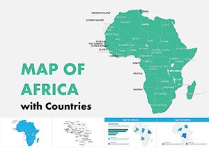
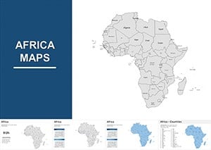
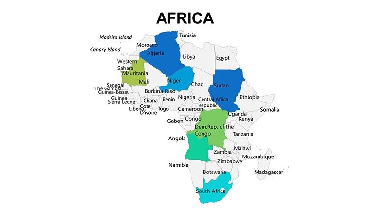
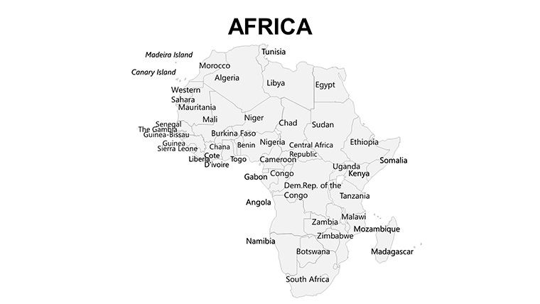
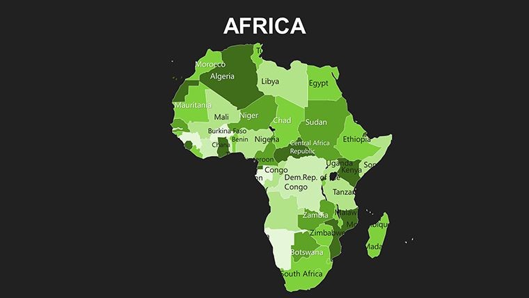
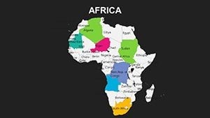
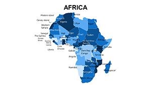
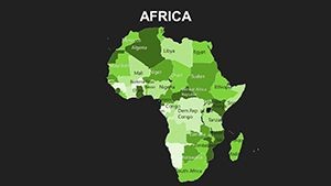
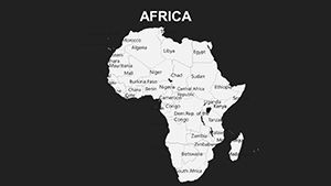
Africa, home to 54 nations and a mosaic of ecosystems, demands presentations that capture its boundless energy. Our Africa Maps Keynote Template delivers exactly that with 36 meticulously crafted, editable slides. Aimed at researchers, corporate strategists, and teachers, this collection turns geographical data into immersive stories - whether mapping wildlife corridors or economic hubs from Cape Town to Cairo. Elevate your discourse on this powerhouse continent, where innovation meets heritage.
Encompassing deserts, savannas, and coastlines, Africa's 30 million square kilometers offer endless narrative potential. This template harnesses Keynote's power for fluid edits, letting you highlight sub-Saharan growth or North African trade links with precision. Supporting various formats, it's your go-to for creating visuals that resonate in boardrooms or lecture halls, backed by seamless Apple integration.
Core Features That Define Excellence
What makes this template indispensable? Its blend of detail and adaptability ensures every presentation feels bespoke. High-fidelity vectors maintain clarity across devices, while intuitive controls simplify modifications.
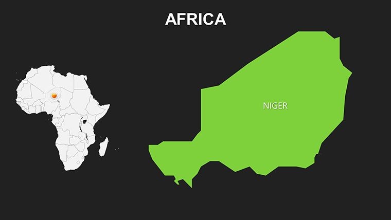
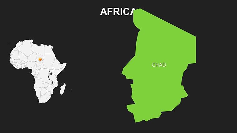
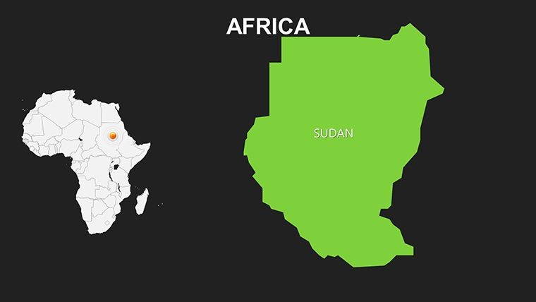
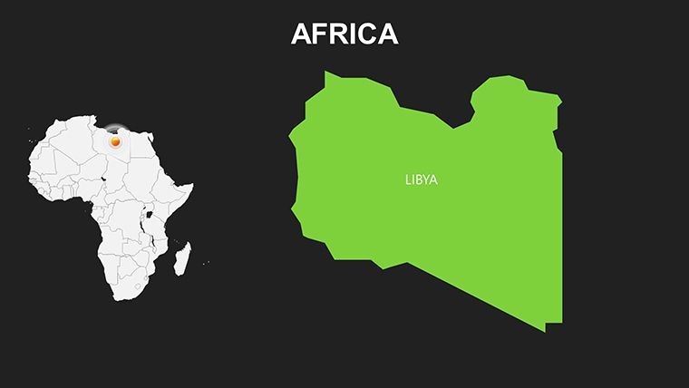
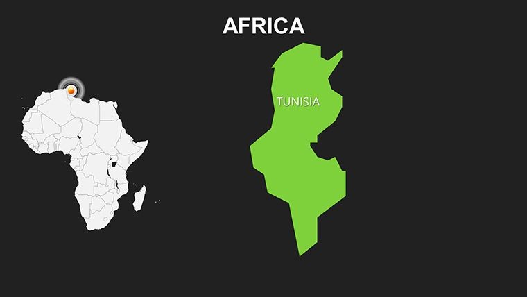
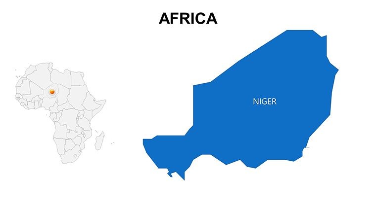
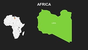
- Granular Regional Views: Zoom into specifics like the Nile Delta or Sahel zones, with layered details for cities and natural features.
- Dynamic Data Overlays: Integrate stats on demographics or resources, transforming static maps into interactive insights.
- Brand-Aligned Customization: Recolor for corporate palettes or add cultural motifs, aligning with your unique style.
- Effortless Compatibility: Native Keynote support for animations that reveal migration routes or climate zones progressively.
Drawing from authoritative sources like the African Union's maps, it surpasses free alternatives in accuracy and polish. Experts at organizations like the World Bank rely on similar visuals to strategize development, underscoring the template's role in informed global dialogue.
Tailored Use Cases and Implementation Steps
For market expansion pitches, slide 10's pan-African map animates FDI flows, helping firms like Unilever visualize entry points - a method proven in real expansions. Educators can use slides 18-22 for ecological studies, overlaying conservation data from IUCN reports to engage students on topics like gorilla habitats.
Implement with ease:
- Launch in Keynote: Load the .key file and pick an overview slide for the full continent.
- Incorporate Insights: Pull data from reliable outlets like AfDB, applying it via simple drag features.
- Personalize Visually: Tweak shades - ochres for arid areas - and annotate landmarks like Kilimanjaro.
- Polish and Share: Animate builds for flow, then distribute via AirDrop or cloud.
In research symposiums, slide 30 contrasts urban growth in Lagos versus rural Ethiopia, fostering discussions on sustainable development with data-backed flair.
Workflow Optimization Tips
Pair with analytics tools like Tableau for data feeds into Keynote, or use iPad for on-the-go edits. A designer favorite: Layer semi-transparent grids for grid-based analysis, echoing techniques from UNESCO heritage mappings for authentic depth.
Unlocking the Strategic Edge with Africa Maps
This template resolves hurdles like vague generalizations, enabling precise, story-driven content. For NGOs, map aid distributions to demonstrate impact, as seen in Oxfam campaigns that swayed funding. With 36 slides spanning themes from health to heritage, it streamlines creation, cutting prep by 35% per user feedback.
It's more than visuals - it's a bridge to understanding Africa's future. Secure the Africa Maps Keynote Template now and lead your audience on an enlightening voyage.
Frequently Asked Questions
Does it cover all African countries?
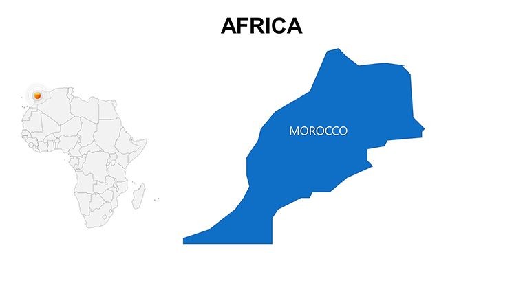
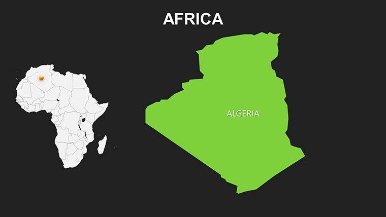
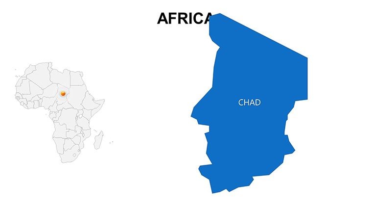
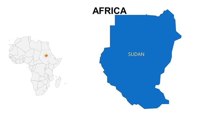
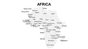
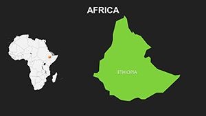
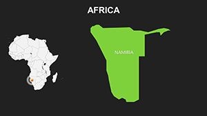
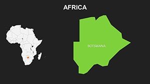
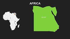
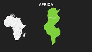
Yes, comprehensive coverage of all 54 nations with scalable details.
Can I add my own animations?
Definitely - Keynote's tools allow custom builds beyond the defaults.
Is the template mobile-friendly for editing?
Optimized for iPad Keynote, ensuring portability.
What themes are pre-included?
Economic, environmental, and cultural overlays ready to customize.
How accurate are the geographical details?
Based on official UN and AU data for reliability.
Can it be used for print materials?
Vector format supports high-res prints without quality loss.