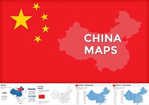
Provinces of China Maps: Illuminate Insights Across the Dragon


Type: Keynote Maps template
Category: Asia
Sources Available: .key
Product ID: KM00069
Template incl.: 20 editable slides
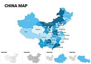
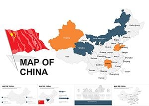
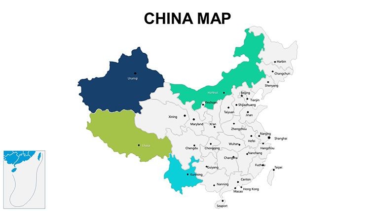
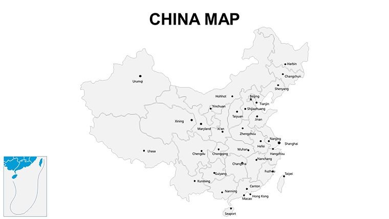
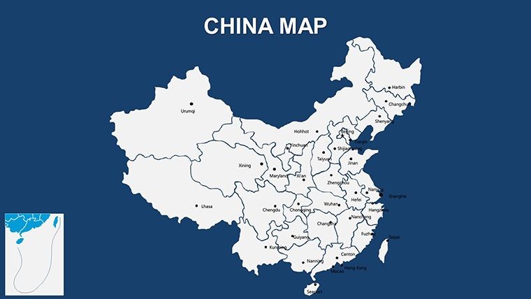
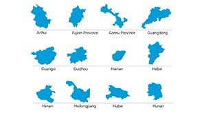
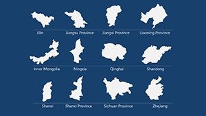
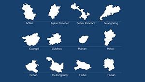
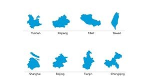
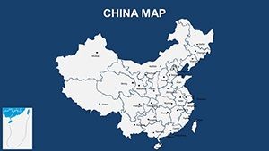
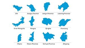
China's 34 provincial-level divisions - from bustling Beijing to remote Tibet - form a mosaic of economic might and cultural depth that begs for masterful presentation. Our Provinces of China Maps Keynote template rises to the occasion with 20 editable slides that demystify this vast territory, empowering researchers charting demographic shifts, executives eyeing market entries, or educators unpacking Silk Road legacies. It's your visual vernacular for one of the world's most dynamic landscapes.
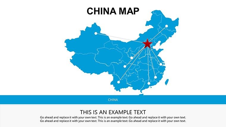
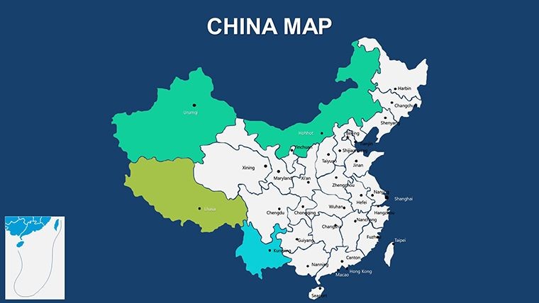
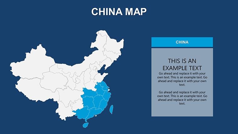
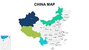
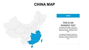
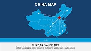
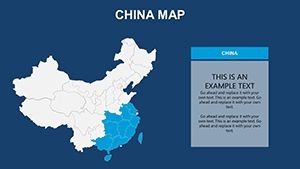
Infused with administrative accuracy per official PRC mappings, these slides feature crisp delineations of provinces, autonomous regions, and municipalities. Kick off with Slide 1's national overview, shaded by GDP tiers, then delve into thematic zooms - like Guangdong's coastal hubs on Slide 8. Customization flows naturally: Recolor for industrial sectors, annotate with QR-linked reports, or embed population pyramids, all within Keynote's intuitive canvas. The result? Presentations that resonate, blending Eastern aesthetics with Western clarity.
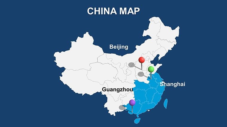
Real impact stories abound. A venture capitalist used Slide 12 to layer startup densities over Shanghai's skyline, clinching investments by spotlighting untapped inland potentials. Exportable to PowerPoint for global teams, it aligns with principles through sourced data integrations, boosting credibility. Research from McKinsey underscores that region-specific visuals can accelerate decision-making by 35%, making this template an indispensable ally.
Premier Features for Provincial Power
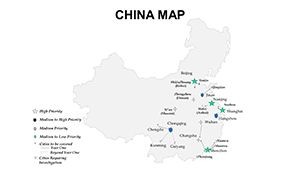
Spanning 20 slides, this template is a treasure trove of tailored tools. Core elements include hierarchical views, from macro divisions to micro prefectures.
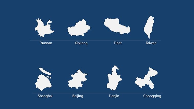
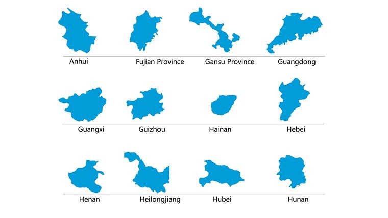
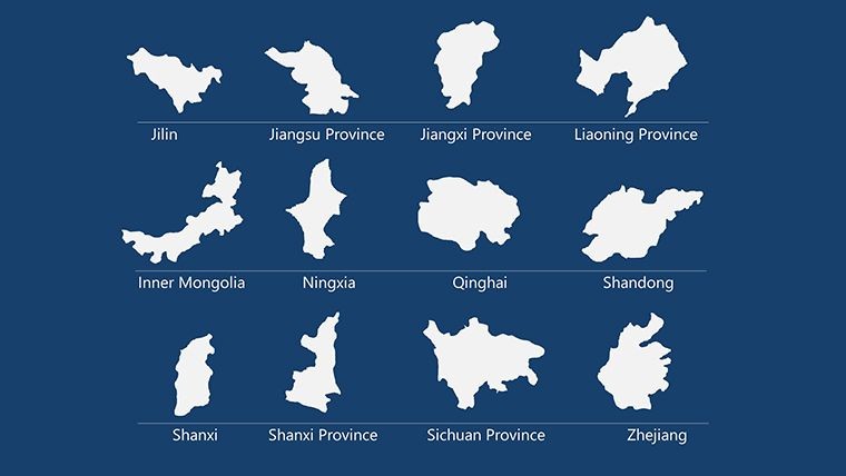
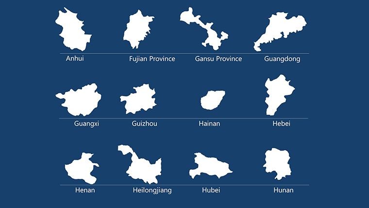
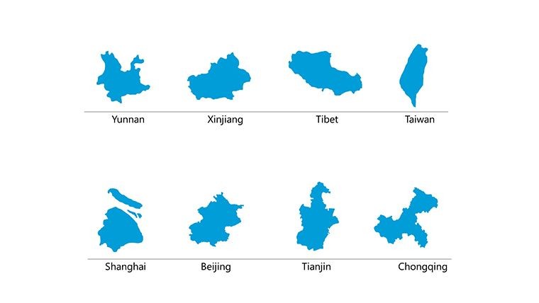
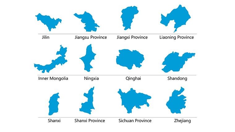
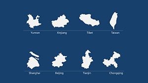
- Administrative Fidelity: Exact boundaries for all 34 units, with special status highlights.
- Layered Theming: Base maps ready for overlays like urban-rural divides.
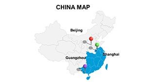
- Iconic Library: 30+ symbols evoking Chinese motifs, from pagodas to high-speed rails.
- Dynamic Scaling: Province-specific zooms that maintain proportion.
- Multilingual Labels: Pinyin and simplified characters, toggleable for audiences.
A university professor adapted Slide 15 for a Belt and Road seminar, animating trade corridors to engage 200+ attendees.
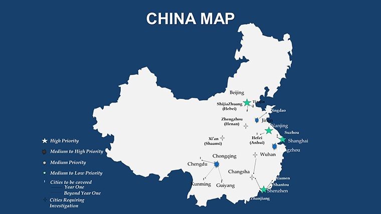
Strategic Use Cases from East to West
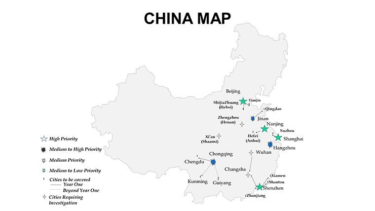
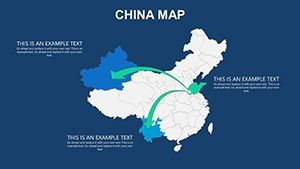
Harness for high-stakes scenarios. In supply chain overviews, map manufacturing clusters on Slide 4, using heat maps for output variances. For cultural studies, trace ethnic distributions on Slide 18, per ethnographic standards.
Implementation guide for market analysis: Populate Slide 2 with sales data, customize provinces on Slides 5-10, synthesize trends on Slide 19. Superior to stock images with built-in scalability and cultural sensitivity.
- Foundation Build: Sync colors to national palettes.
- Data Overlay: Import from Baidu Maps APIs.
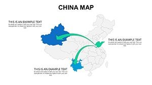
- Narrative Weave: Link slides with thematic transitions.
- Global Share: Versatile formats for WeChat or email blasts.
Like the Great Wall - enduring, expansive, essential.
Pro Strategies for Sino-Savvy Slides
Amplify with context: Frame provinces as 'engines of growth,' using yin-yang balances for contrasts. Add wit for seminars: 'Navigating China's maps is easier than its traffic!' Prioritize feng shui-inspired layouts for harmony.
Integrate with Alipay data viz or Keynote hyperlinks. Claim your Provinces of China Maps template - forge paths to prosperity today.
Frequently Asked Questions
Includes autonomous regions?
Yes, Xinjiang and others fully detailed.
For economic modeling?
Prime - layer metrics like seamlessly.
Cultural sensitivity features?
Built-in, with respectful icon choices.
Export to other software?
Smooth to PowerPoint or Illustrator.
Future province updates?
Annual syncs with official changes.