Global Continent Maps Keynote Template


Type: Keynote Maps template
Category: World
Sources Available: .key
Product ID: KM00065
Template incl.: 22 editable slides
From boardrooms plotting international expansions to classrooms unraveling global cultures, the right map can bridge continents and ideas. Our Global Continent Maps Keynote Template, with 22 editable slides, is crafted for architects envisioning worldwide projects, business leaders charting trade routes, and educators fostering global awareness. Native to Keynote for Mac and iPad, it boasts geographic accuracy, varied styles from minimalist to detailed, and user-friendly customizations - meeting rigorous standards like those from the International Geographical Union for precise representations.
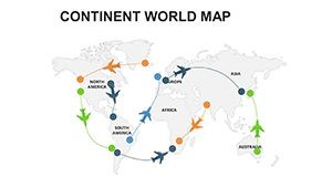
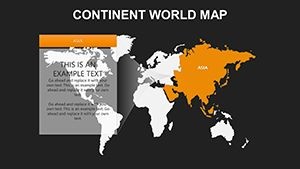
Picture a multinational firm illustrating supply chains: layer trade data over Asia's outlines or animate migrations across Africa, making abstract strategies tangible. The template's vector files ensure flawless scaling, vital for high-res prints or digital zooms. At $22, it delivers premium value, with testimonials from design educators noting enhanced student interaction through interactive continent explorations. This isn't mere cartography; it's a catalyst for insightful discussions on geopolitics, sustainability, and cross-border architecture.
World-Class Cartography at Your Fingertips
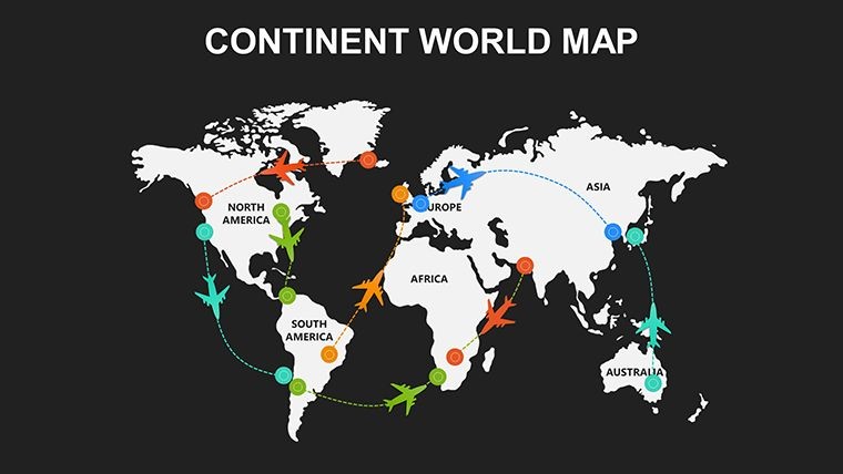
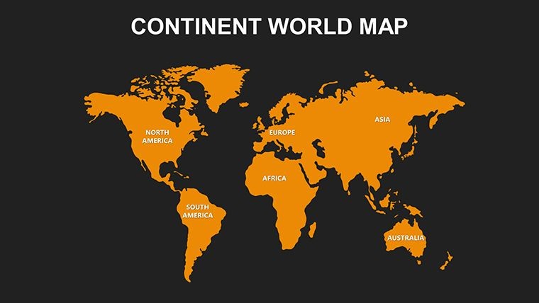
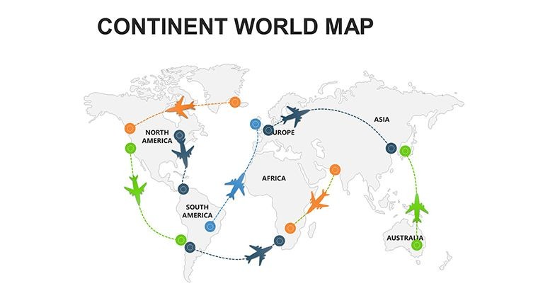
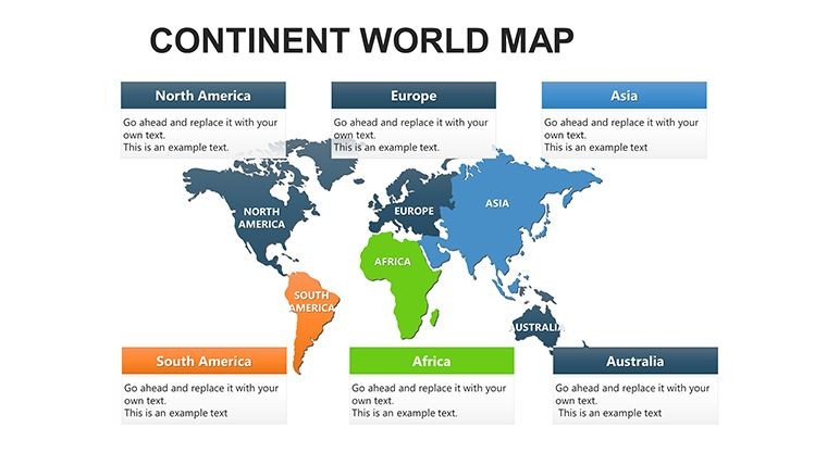
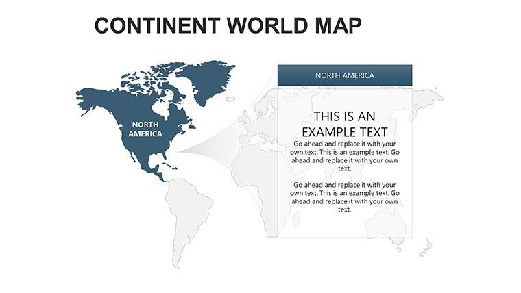
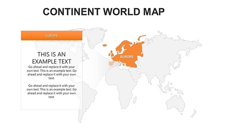
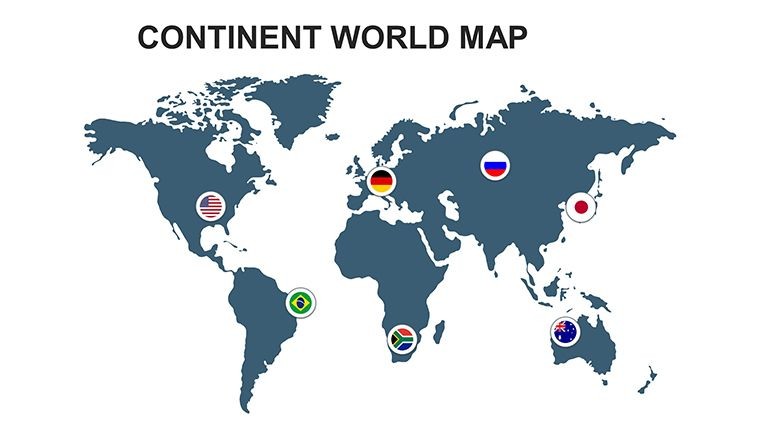
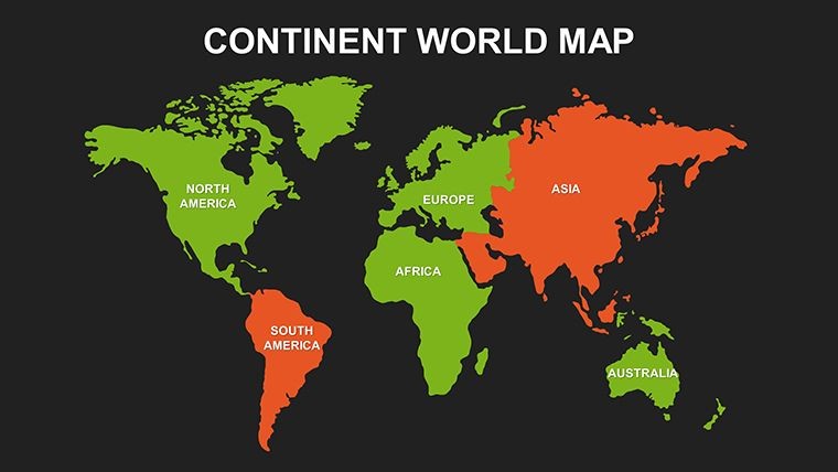
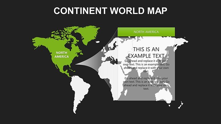
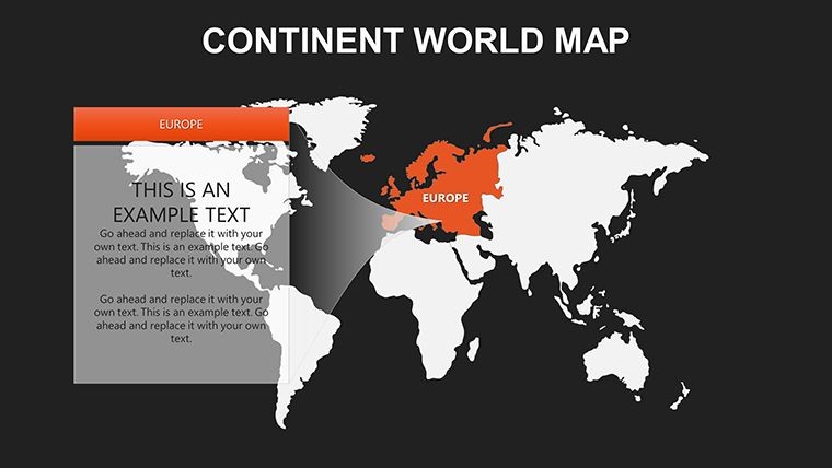
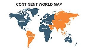
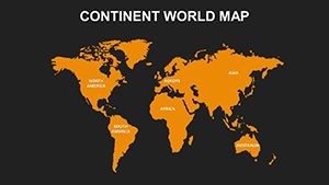
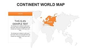
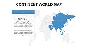
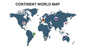
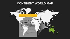
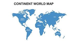
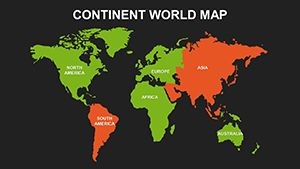
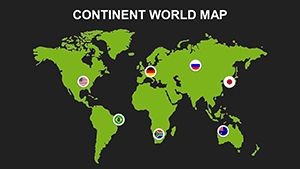
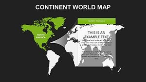
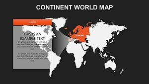
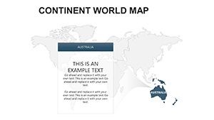
Spanning seven continents, the slides offer comprehensive views - Slide 0's world overview transitions to focused Antarctica ice shelves on #5. Architects use it for global inspiration, overlaying sustainable designs on Europe's urban fabrics or Australia's outback innovations. The intricate details, like coastlines and landmarks, provide context without clutter, drawing from real-world GIS data for authenticity.
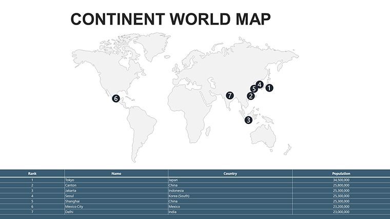
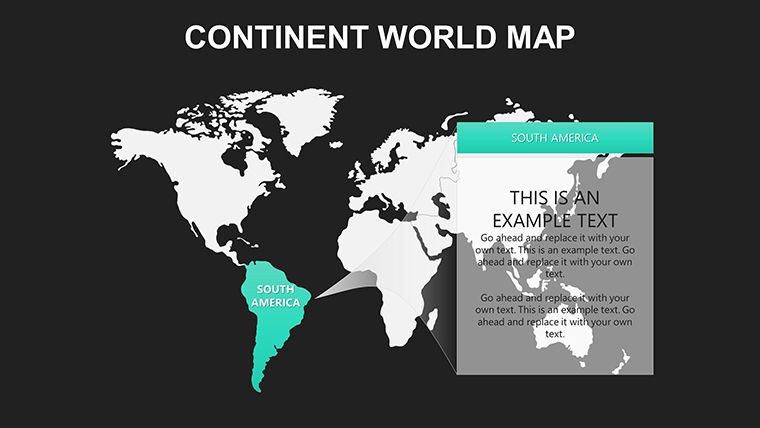
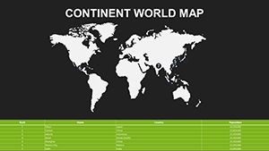
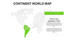
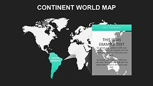
Minimalist styles suit executive summaries, while vibrant illustrations energize youth programs. In business, map market penetrations across South America, using editable labels for currency fluctuations - a tactic that helped a logistics giant optimize routes, per industry reports.
Premium Features for Global Impact
- Geographic Fidelity: Accurate borders, landmasses, and features in vector format for distortion-free edits.
- Style Versatility: Switch between outline simplicity and detailed, colorful renders to match your tone.
- Customization Depth: Alter colors, add annotations, or integrate icons for personalized narratives.
- Seamless Keynote Fit: Plug-and-play with animations for continent reveals, iPad-ready for travel prep.
- Educational Enhancements: Interactive elements for lessons on climate zones or cultural exchanges.
These shine in applications; an NGO visualized refugee routes across continents, using layered transparency to emphasize humanitarian needs effectively.
Applications Spanning the Globe
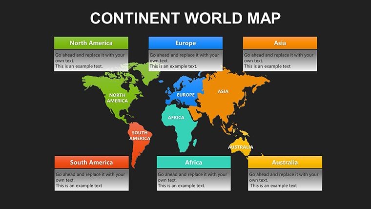
Educators build curricula around it, editing maps for biodiversity studies in Amazonia or tectonic shifts in Eurasia, aligning with UNESCO guidelines. Business strategists plot expansions, animating alliances from North America to Oceania for merger pitches. Architects draw from it for international portfolios, highlighting eco-builds in Africa's savannas or Asia's megacities.
Researchers layer climate models, creating compelling cases for global policy - much like UN presentations that influenced accords. The mobility for iPad edits supports fieldwork, from Antarctic expeditions to urban surveys in Europe.
Simple Steps to Worldly Presentations
- Access the Pack: Unpack .key files to reveal 22 slides of continental glory.
- Tailor Continents: Select and stylize, adding global stats like GDP icons.
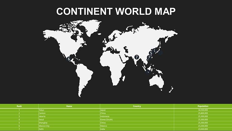
- Layer Intelligence: Import datasets for heatmaps on population or trade.
- Animate Journeys: Sequence builds to trace historical explorations or future projections.
- Distribute Globally: Export to various formats for universal accessibility.
Insights: Use neutral palettes for diplomacy talks, adding cultural motifs for engaging, respectful visuals.
Why It Outperforms Ordinary Maps
Generic tools falter on detail and editability; this template's precision and flexibility enable hyperlinks to resources, fostering deeper dives. For creatives, fuse with 3D renders for futuristic global designs, setting your work apart.
Connect the world in your next presentation - download this continent maps template and embark on visual voyages today.
Frequently Asked Questions
Are the continent outlines highly detailed?Yes, with editable vectors capturing coastlines, mountains, and key landmarks for accurate depictions.
Suitable for international business strategies?Ideal - customize for trade visualizations across continents, supporting global expansion narratives.
How easy is integration into lessons?Very; interactive edits make geography engaging, perfect for K-12 or higher ed curricula.
Can I adjust for thematic focuses like climate?Absolutely, overlay zones and patterns to illustrate environmental changes worldwide.
iPad compatibility for mobile use?Fully supported, enabling edits during travels or remote collaborations.
Includes world overview slide?Yes, plus individual continents for comprehensive global coverage.