California Map Keynote Template - Fully Editable


Type: Keynote Maps template
Category: North America
Sources Available: .key
Product ID: KM00063
Template incl.: 26 editable slides
What is a Keynote map template? A Keynote map template is a .key file containing pre-built, vector-based map slides that open directly in Apple Keynote and can be recolored, relabeled, and rescaled without external design software.
Files and Coverage Included
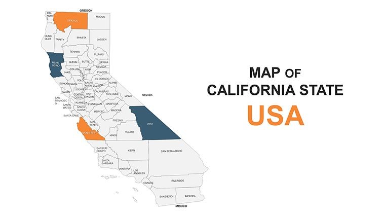
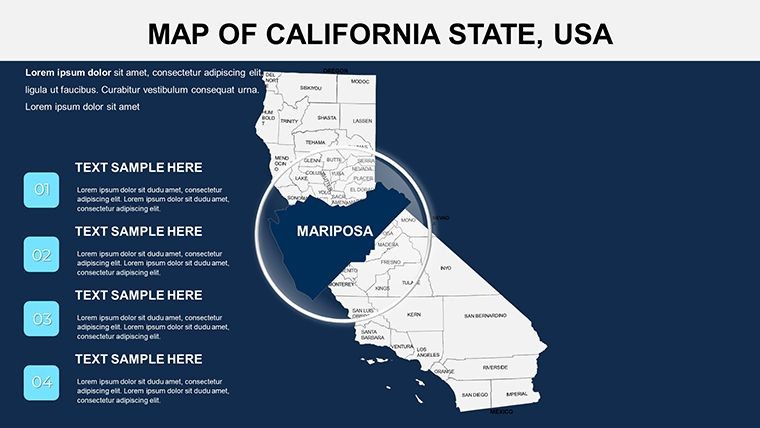
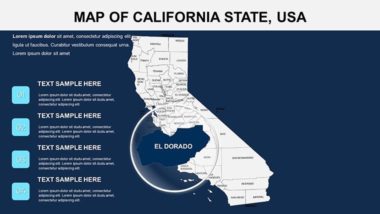
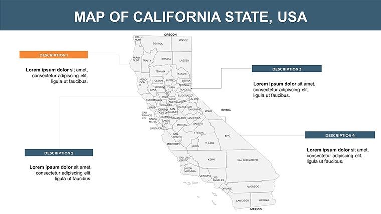
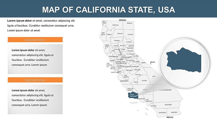
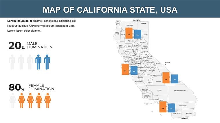
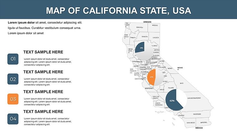
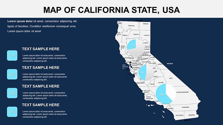
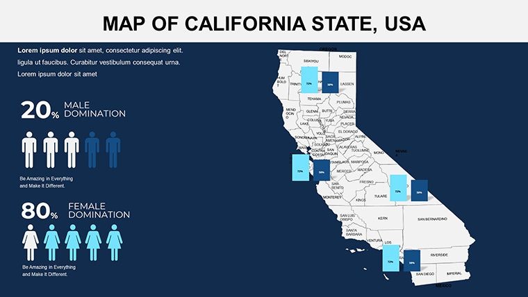
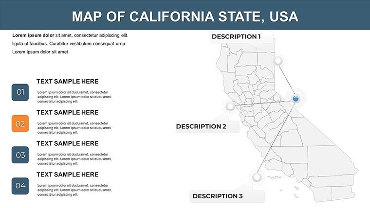
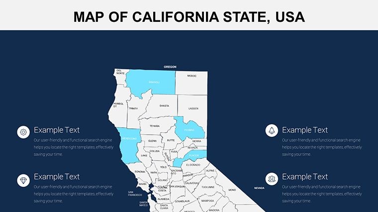
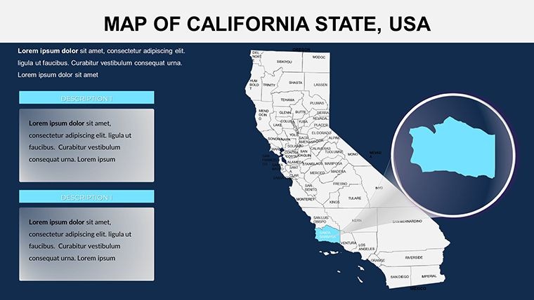
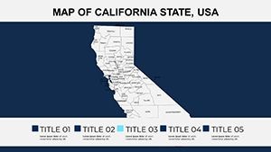
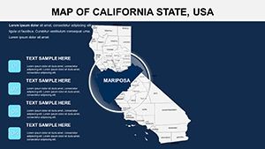
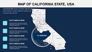
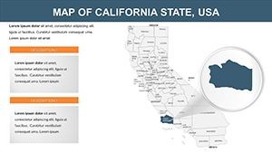
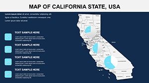
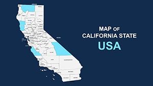
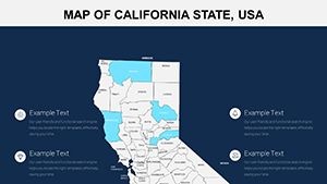
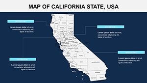
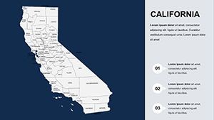
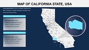
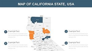
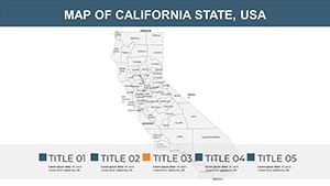
26 editable slides ship in a single .key file, covering California from full-state overviews down to county-level detail. Regions across the state - coastal zones, Central Valley agricultural corridors, desert southeast, and northern mountain areas - each have dedicated slides so a presenter can move from macro context to site-specific focus within the same deck.
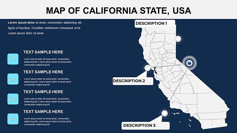
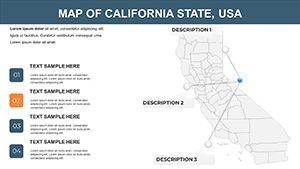
The slides work together as a layered storytelling system. A market analyst can open with the statewide view, then cut to a county breakdown, then close on a labeled city-level inset - all within one file, no screenshots required. Each layer is a separate vector group, so recoloring a single county does not disturb surrounding shapes.
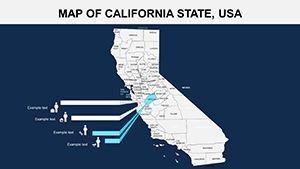
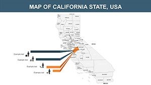
Unlike broader US-wide map sets that distribute California across just two or three slides, this file devotes the entire 26-slide structure to a single state. That depth matters when a presentation needs to argue a specific regional point - a logistics team explaining distribution from the Port of Long Beach to Sacramento Valley retailers, for example, needs granularity that continent-level templates cannot provide.
Editing Capabilities at a Glance
| Feature | Details |
|---|---|
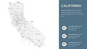
| Editable map regions | Each county and major zone is a separate vector group - click to select, drag to recolor independently |
| Text labels | City and county name placeholders update directly via double-click, no ungrouping needed |
| Color scheme adjustments | Master slide palette in Keynote controls base tones; individual shapes override via the Format sidebar |
| Aspect ratio | 16:9 widescreen, compatible with standard projector and screen outputs |
| File format | .key - opens in Keynote 12 or later on macOS and iPadOS |
| Export options | Export as .key for editing, PDF for distribution, or PNG/JPEG for embedding in other decks |
| Animation support | Compatible with Keynote's built-in transitions; no animations pre-applied, add as needed |
From Strategy Decks to Regional Pitches
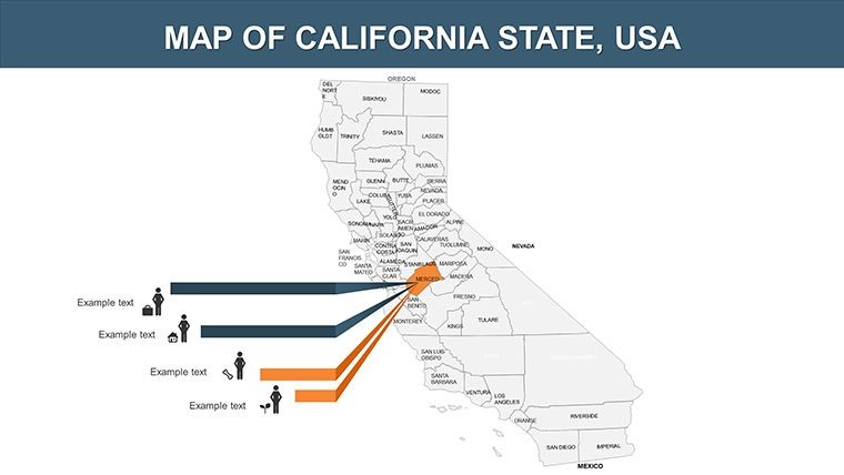
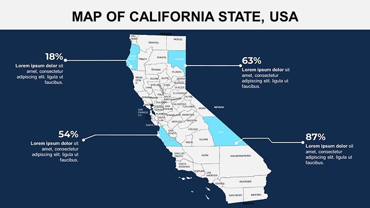
A regional sales director at a Sacramento-based agricultural equipment distributor needed to show territory coverage across 12 Central Valley counties for a quarterly board briefing. Using the county-level slides, she colored each territory by rep and added revenue labels directly onto the shapes. Deck preparation dropped from a full afternoon to under 90 minutes, and the same file was reused for three consecutive quarterly updates by swapping the data labels.
A San Francisco urban planning consultant preparing a city council presentation on housing density mapped zoning classifications across Bay Area counties using gradient fills - darker tones for high-density zones, lighter for open space. The vector format held sharp at 4K projection without any resolution loss, a consistent problem she had experienced with screenshot-based maps in previous decks.
Download and start editing immediately - the .key file opens directly in Keynote with no plugins required.
Adapting the Template to Your Brand
Editing difficulty: Beginner. No design software beyond Keynote is required at any stage.
- Step 1 - Open the .key file in Keynote 12 or later (1 minute)
- Step 2 - Navigate to the slide that matches your required coverage level - statewide, regional, or county (1 minute)
- Step 3 - Click a map region to select its vector group, then change fill color via the Format sidebar (2 minutes)
- Step 4 - Double-click any text label to replace it with your own city name, data value, or annotation (3 minutes)
- Step 5 - Apply brand colors globally via Edit Master Slide to update background and accent tones across all slides (2 minutes)
- Step 6 - Export as PDF or PNG for sharing, or keep as .key for live editing during the presentation (1 minute)
The master slide controls typography and background color simultaneously. Changing the master once propagates updates to all 26 slides, which matters when a team lead needs to re-brand the deck for a new client overnight.
Building From Scratch vs. Starting Here
Reproducing a single California county map from scratch in Keynote means sourcing a vector file, importing it, ungrouping layers, checking that county boundaries align with current census data, and then building a labeling system that does not collide with small counties in the Bay Area cluster. That process takes an experienced designer two to three hours for one slide. 26 slides at that rate is a multi-day project.
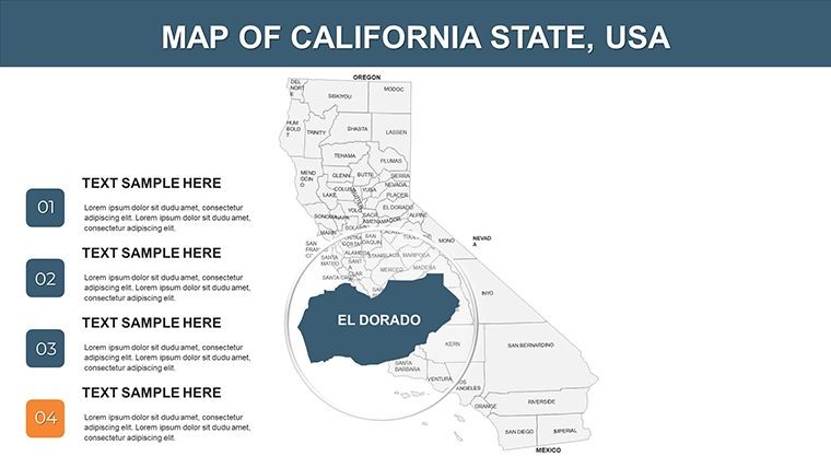
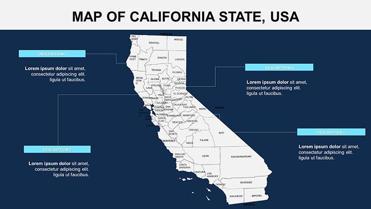
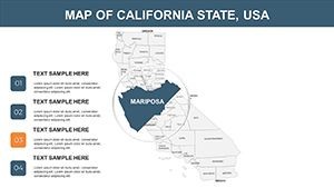
The more common failure when building manually is label placement. Counties like San Francisco, Alameda, and Contra Costa sit in close proximity at most zoom levels. Labels placed inside those shapes become illegible in projection. This file positions labels outside small shapes with thin connector lines - a layout choice that maintains readability on a screen behind a presenter without requiring the audience to squint. It is the kind of detail that gets skipped in a manual build under deadline pressure.
Two design observations worth noting: region fills use flat color rather than gradients so that a second data layer - such as a semi-transparent heatmap - can sit on top without muddying the base. And the state outline uses a slightly heavier stroke weight than internal county borders, which helps audiences orient themselves quickly when a slide zooms into a region they may not recognize by shape alone.
Regional sales directors and urban planners often pair California county maps with a full US state coverage set when building decks that need to contextualize California within a national strategy. For North America-wide coverage, the broader North America Keynote Maps category contains complementary state and country-level options. Teams working on Oklahoma-adjacent regional comparisons sometimes add the Oklahoma editable map set to build multi-state territory decks.
Download the .key file now and have your first California map slide ready in under 10 minutes.
Which version of Keynote is required to open this template?
The file requires Keynote 12 or later, which is available as a free download from the Mac App Store and is compatible with macOS Monterey and later. iPadOS versions of Keynote from 2021 onward also open .key files from this template without issues. Older versions of Keynote, such as those shipped with macOS Catalina, may not render all layout elements correctly. If you are on an older system, update Keynote before downloading. The template does not require any third-party plugins or fonts beyond what ships with macOS.
Can I change the color scheme to match my organization's brand colors?
Yes. To apply brand colors, open the template in Keynote, go to Edit Master Slide, and replace the background and accent colors with your hex values using the color picker. Individual map regions can then be overridden on a per-slide basis by clicking the shape and adjusting the fill in the Format sidebar. This two-step approach - master for global settings, per-shape for specific regions - means you can brand the full deck in under five minutes while still highlighting individual counties in a different color for emphasis.
What license applies - can I use this in paid client work?
The standard license covers use in presentations for internal business purposes and in client-facing work where the template is part of a deliverable service, such as a consulting report or agency pitch deck. Reselling the template files themselves, sublicensing them, or redistributing the .key file as a standalone product is not permitted. If you need clarification about a specific use case - for example, embedding map slides in a video product - contact ImagineLayout support before purchase.
Is there a free version or trial available?
The page does not specify a free version for this template. The full 26-slide .key file is available for a one-time purchase of $15. ImagineLayout's refund policy is available at imaginelayout.com/refund-policy - review the specific conditions before purchasing if you have compatibility concerns. The product preview images in the gallery show all slide layouts, so you can assess coverage and style before completing checkout.
Does the template work on an iPad?
Yes. The .key format opens natively in Keynote on iPadOS. All vector shapes remain editable using Keynote's touch interface - tap a county shape to select it, use the Format panel to change the fill, and double-tap text labels to edit them. The 16:9 layout renders correctly on iPad screens and external displays connected via HDMI adapter. If you plan to present directly from an iPad, test the slide transitions on your device before the actual presentation to confirm timing behaves as expected.
Can this file be exported to PowerPoint format?
Keynote can export .key files to .pptx format via File > Export To > PowerPoint. Most vector shapes and text elements transfer correctly, but complex groupings and certain Keynote-specific transitions may not render identically in PowerPoint. For presentations that will ultimately run in PowerPoint on Windows, test the export on your target machine before the day of the presentation. If PowerPoint compatibility is the primary requirement, ImagineLayout also offers PowerPoint-native map templates in the North America maps category.