Global World Countries Keynote Maps Template


Type: Keynote Maps template
Category: World
Sources Available: .key
Product ID: KM00061
Template incl.: 65 editable slides
In an interconnected world, conveying global perspectives demands visuals that are as dynamic as the topics they represent. Our World Countries Keynote Maps Template rises to the challenge with 65 editable slides, offering comprehensive maps for every nation. Ideal for international executives mapping trade routes, teachers illustrating cultural exchanges, or researchers analyzing demographic shifts, this tool transforms data into digestible, eye-catching formats. Exclusive to Keynote on Mac, it provides high-resolution, intuitive customization, enabling you to adapt maps for geopolitical overviews or zoomed-in regional studies, all while maintaining professional integrity and visual appeal.
Mapping the World: Comprehensive and Customizable
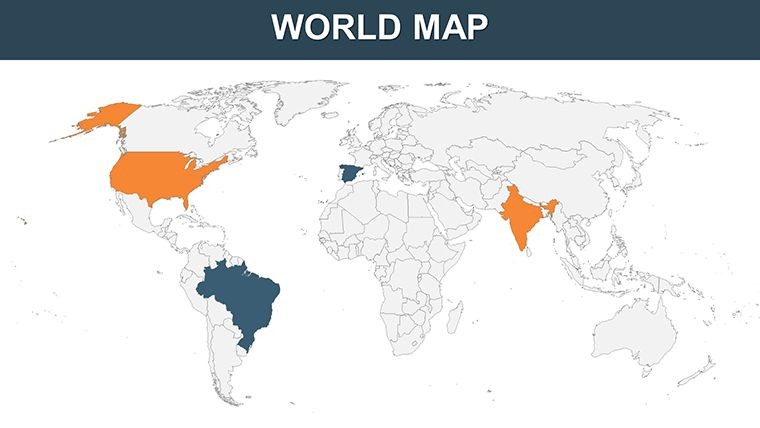
From the vast continents of Asia to the islands of Oceania, this template covers it all with precise, vector-drawn maps. Highlight economic zones in Europe or biodiversity hotspots in South America - each slide allows for color adjustments, label modifications, and border tweaks to fit your narrative. Envision a corporate strategy session: Overlay partnership data on a world map, color-coding alliances, and animate reveals to underscore growth opportunities, mirroring tactics used by multinationals like those in Fortune 500 reports.
The high-resolution quality ensures clarity on any device, while the user-friendly interface means even novices can create polished outputs swiftly.
Essential Features for Global Storytelling
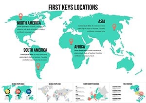
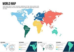
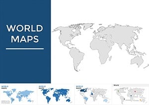
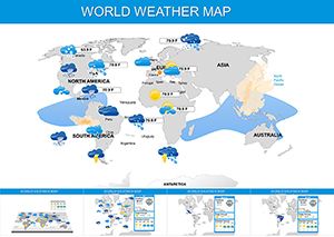
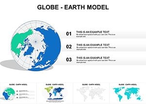
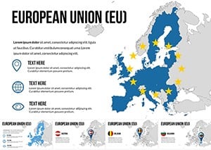
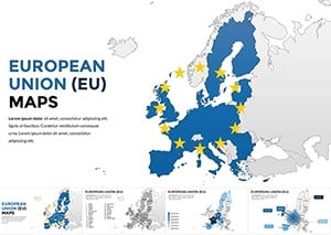
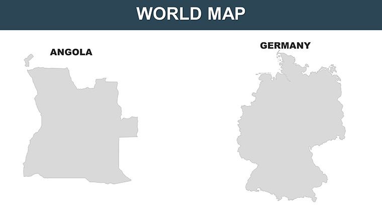
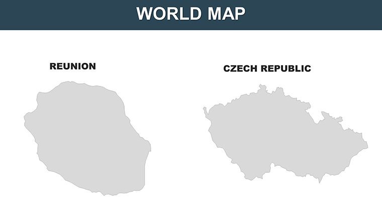
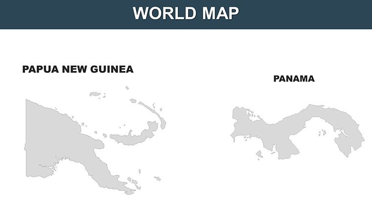
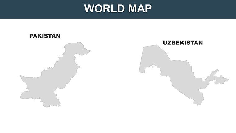
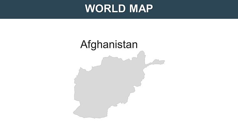
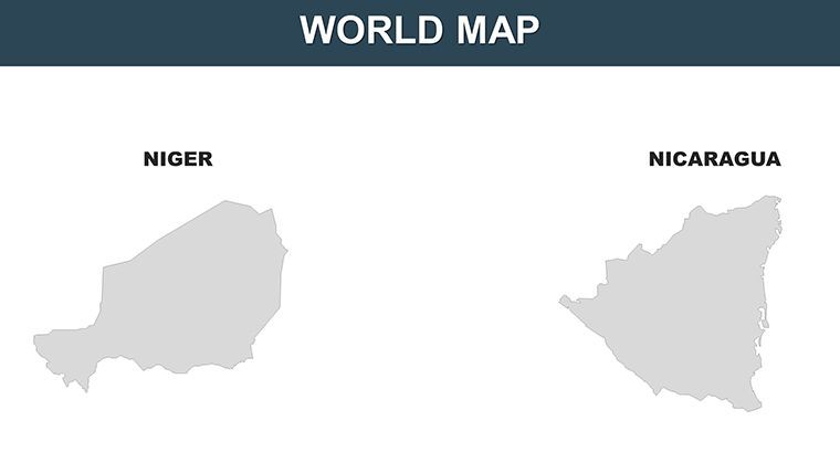
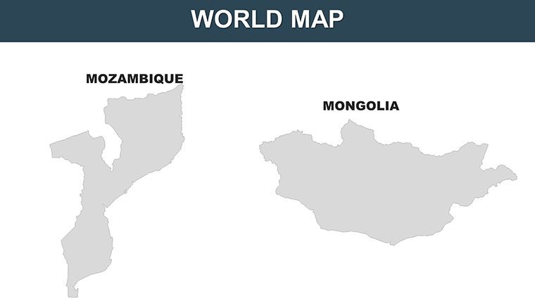
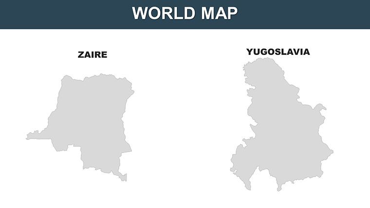
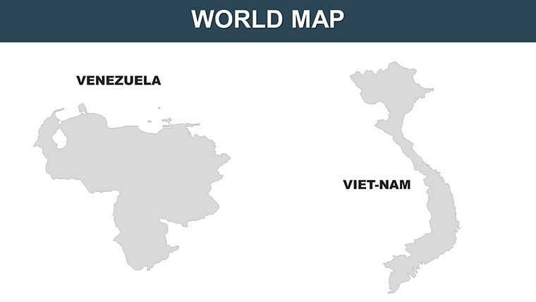
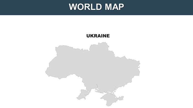
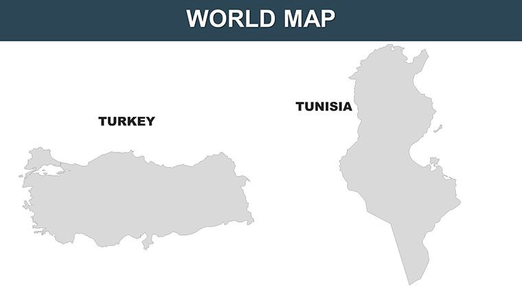
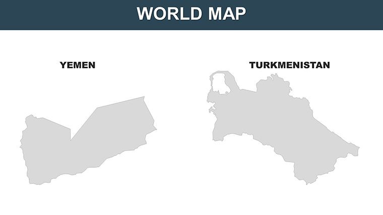
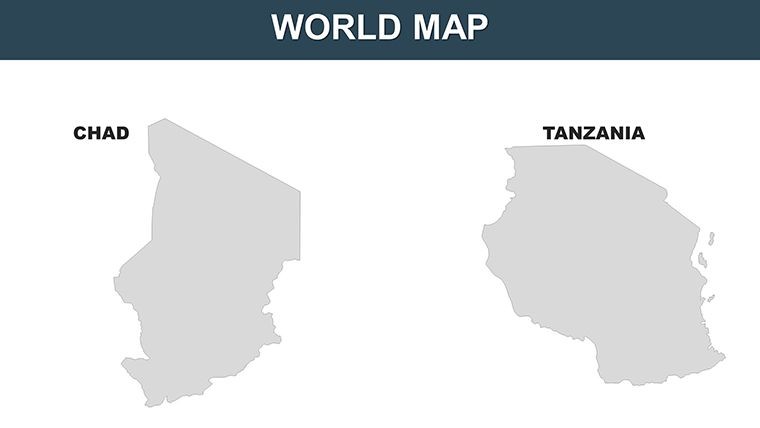
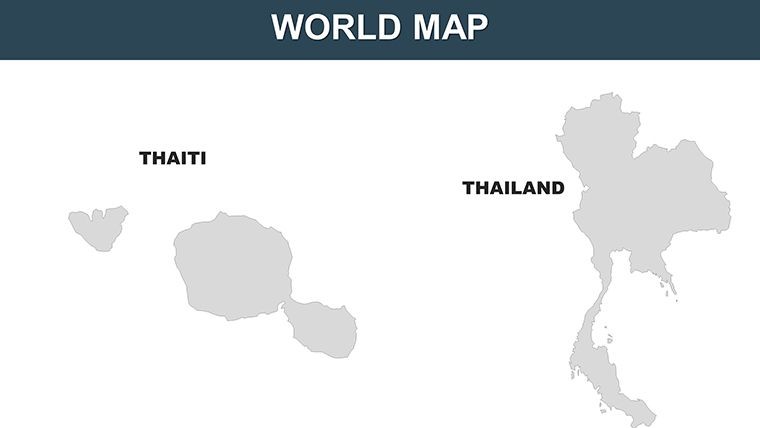
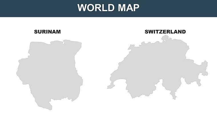
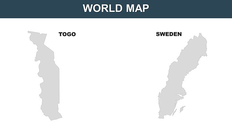
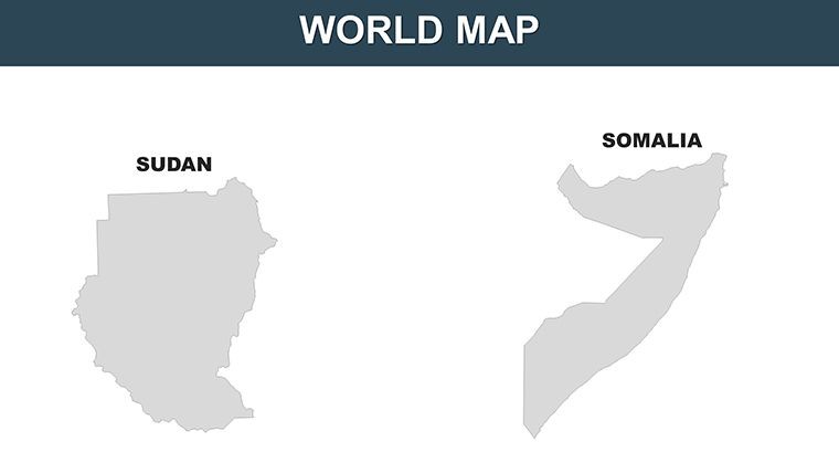
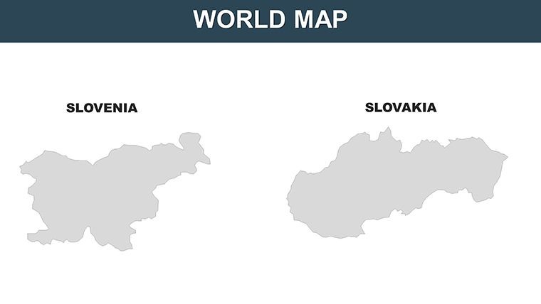
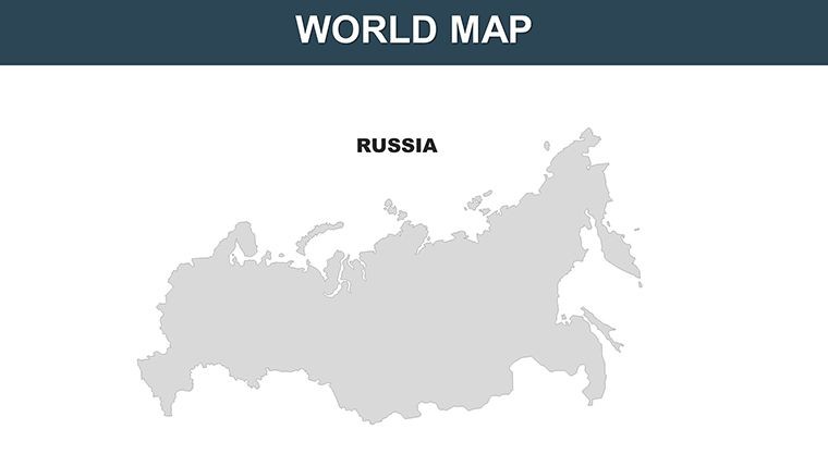
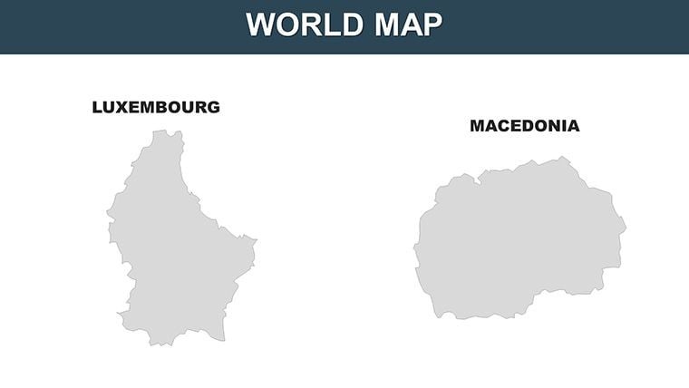
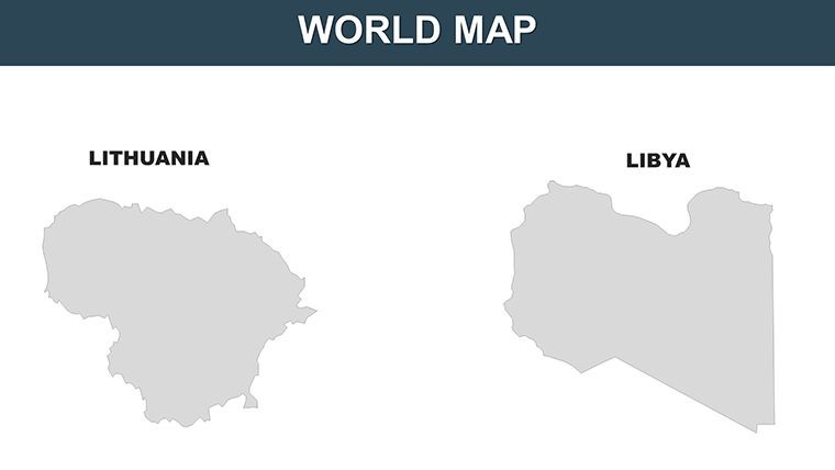
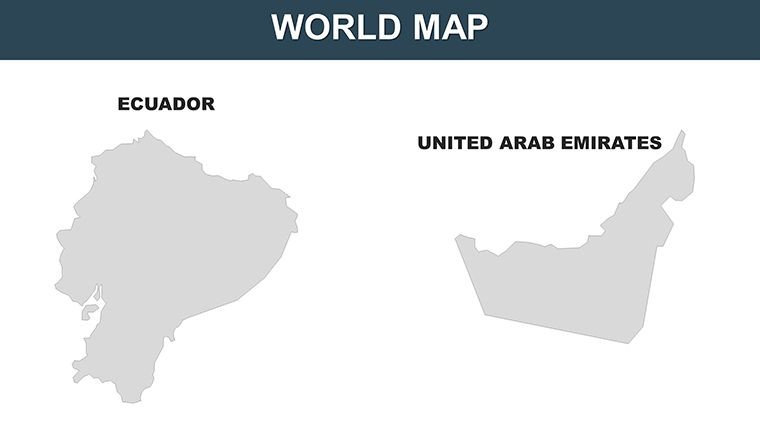
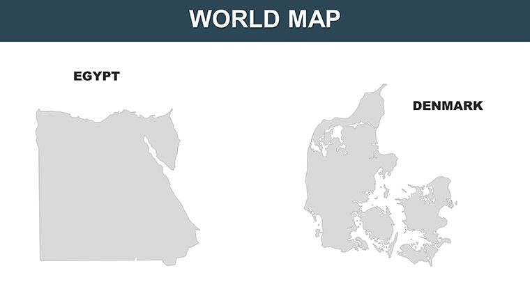
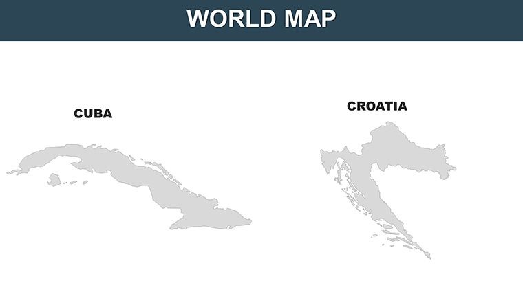
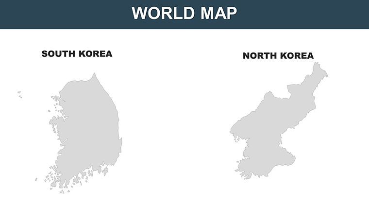
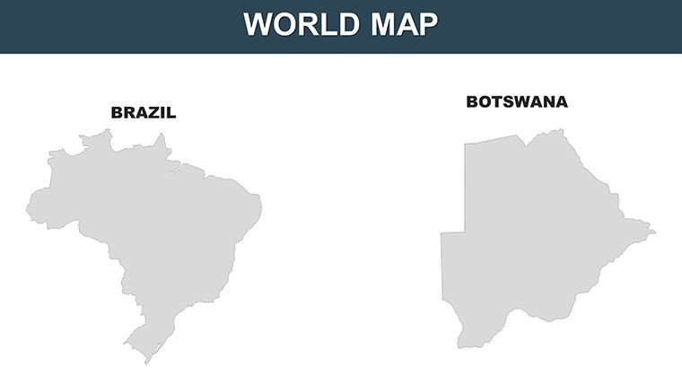
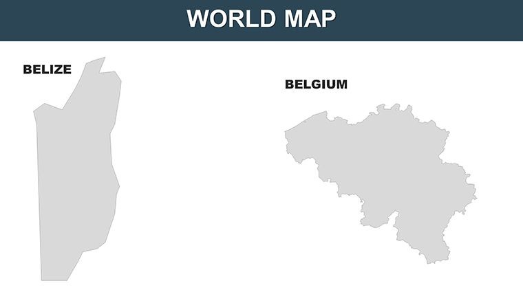
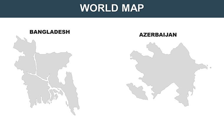
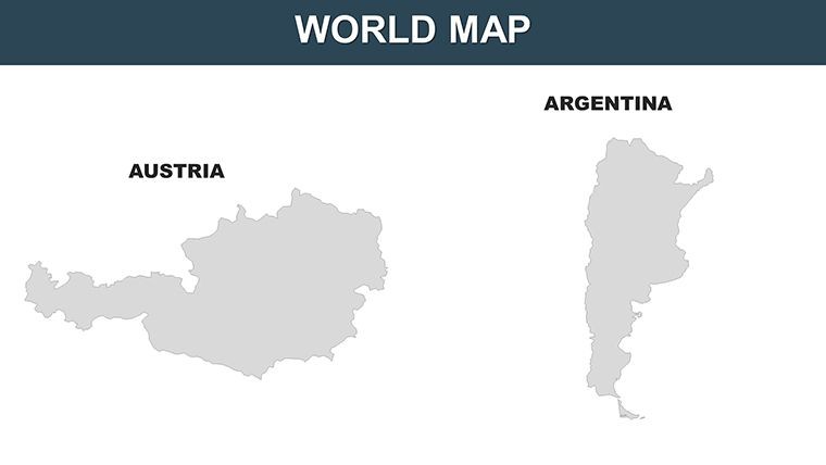
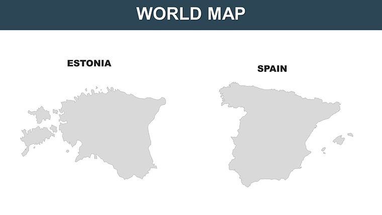
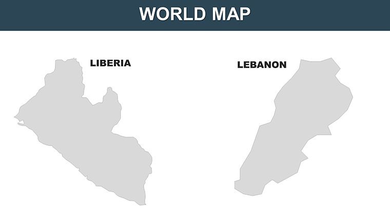
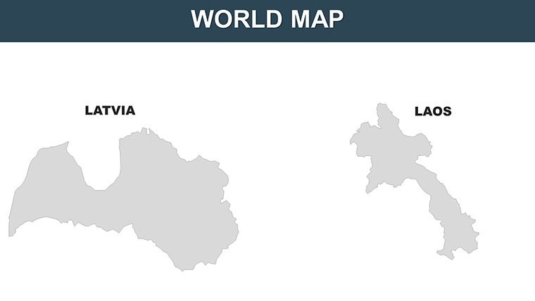
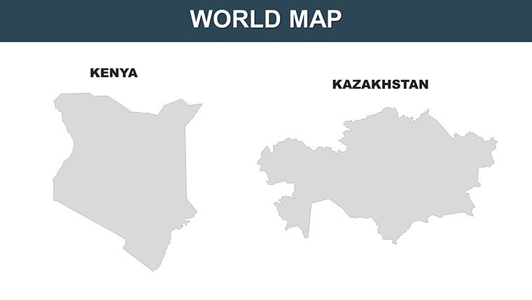
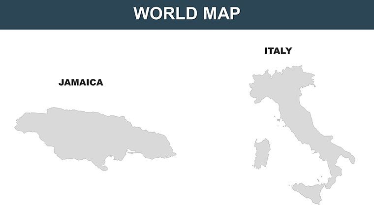
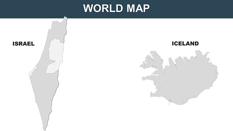
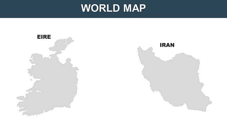
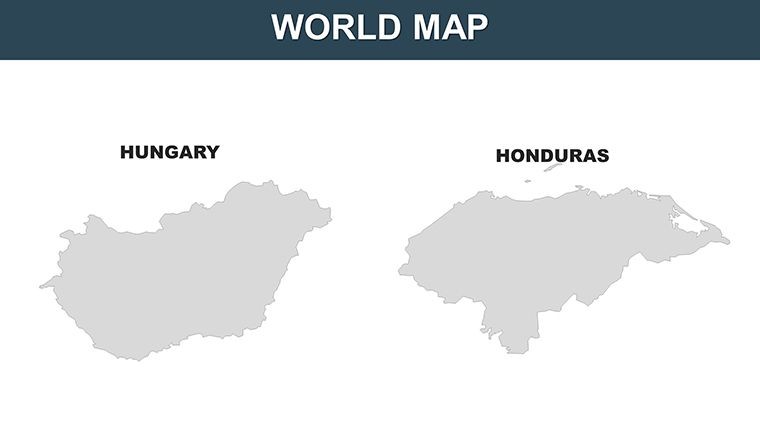
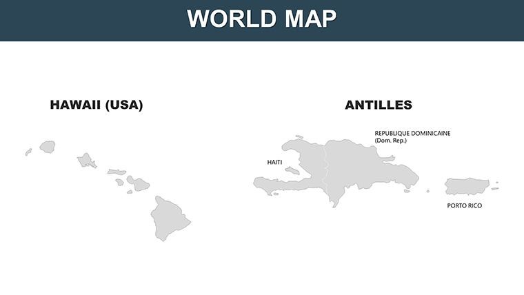
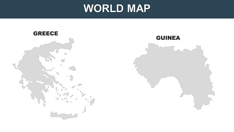
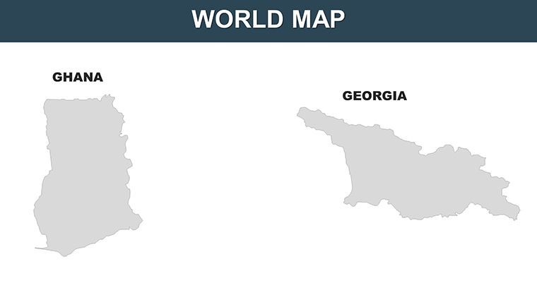
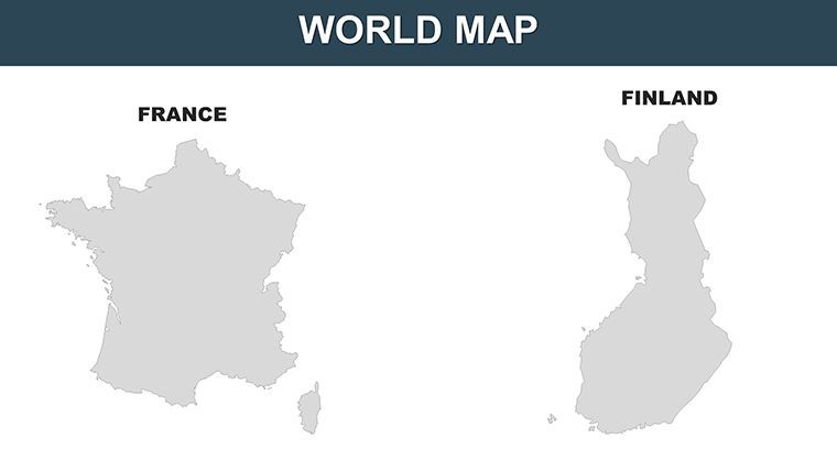
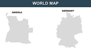
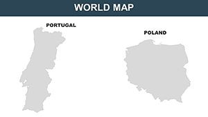
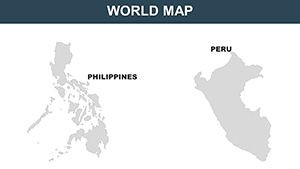
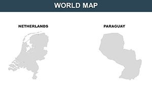
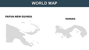
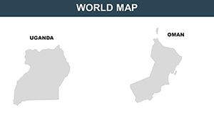
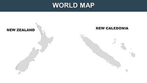
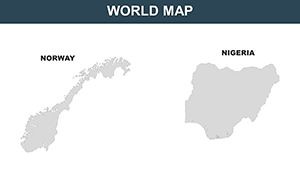
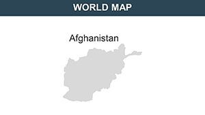
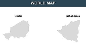
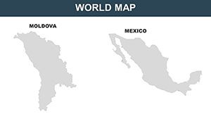
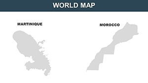
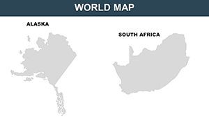
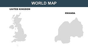
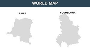
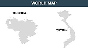
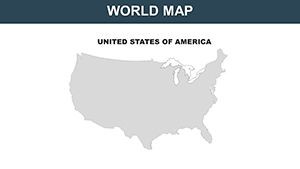
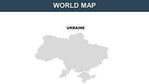
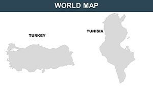
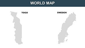
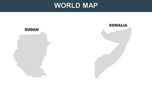
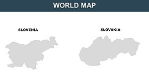
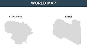
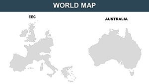
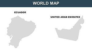
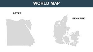
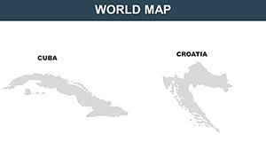
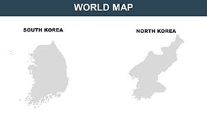
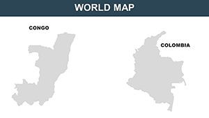
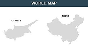
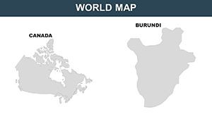
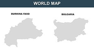
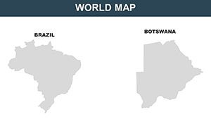
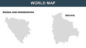
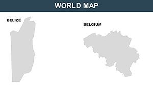
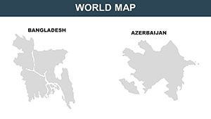
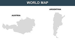
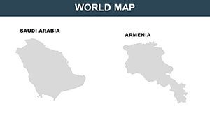
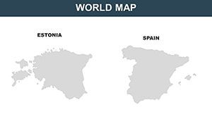
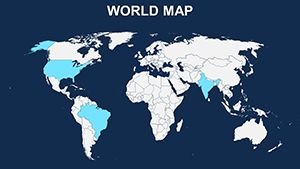
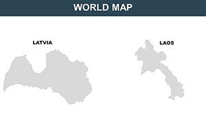
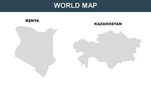
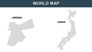
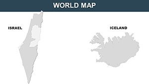
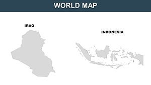
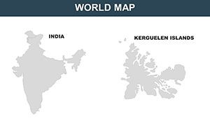
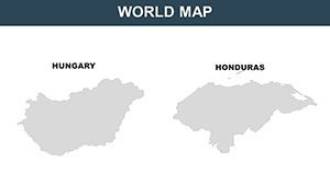
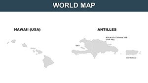
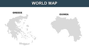
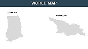
- 65 Versatile Slides: Individual country maps plus continental and global views, all fully editable.
- Customization Tools: Alter colors, texts, borders, and regions without quality degradation.
- High-Resolution Imagery: Crisp visuals for professional presentations, retina-ready.
- Intuitive Editing: Drag-and-drop simplicity for adding elements like flags or data points.
- Broad Compatibility: Seamlessly works with iWork Keynote, no extras required.
These attributes make it superior to stock options, offering tailored flexibility that's crucial for fields like international relations, where accuracy draws from sources akin to UN geospatial data.
Broad Applications: Empowering Diverse Users
For business professionals, it's invaluable in market analysis - visualize global trends like e-commerce growth in emerging markets, using maps to pinpoint opportunities. A nod to real successes: Companies like Amazon use similar visuals in investor pitches to demonstrate worldwide reach.
Educators can enrich curricula, mapping historical migrations or current climate impacts, fostering interactive learning that aligns with modern pedagogy standards from organizations like the National Geographic Society.
In travel and hospitality, design captivating itineraries - trace adventure paths across Africa or luxury tours in Europe, incorporating photos for immersive proposals that convert prospects.
Streamlined Process for Creating Impactful Maps
- Start with Download: Access the .key file and launch in Keynote.
- Select and Customize: Choose a country map, adjust colors to denote variables like GDP.
- Enhance with Details: Add labels, icons, or overlays for depth.
- Incorporate Interactivity: Use animations to guide viewer focus globally.
- Present with Confidence: Export or share, knowing your visuals are top-tier.
This method echoes efficient workflows in graphic design, promoting through structured, authoritative content.
Pro Tips to Enhance Your Global Presentations
Combine maps with infographics for multifaceted views - pair a world population map with bar charts for compelling demographics. Use thematic colors, like greens for environmental topics, to evoke emotion and clarity.
Steer clear of clutter; leverage the template's clean layouts for focused messaging. Advanced tip: Utilize Keynote's collaboration features for team input on international projects.
With roots in reliable cartography, this template ensures your work is credible, suitable for high-stakes environments like NGO reports or academic papers.
Embrace the globe's complexity with ease - download this World Countries template and turn vast data into vivid, actionable insights that inspire action worldwide.
Frequently Asked Questions
- How many countries are covered in the maps?
- All recognized countries worldwide, with individual and grouped views.
- Can I adjust country borders for custom scenarios?
- Yes, borders are editable for hypothetical or historical representations.
- Is the template optimized for high-resolution displays?
- Absolutely, with retina-ready quality for sharp visuals.
- What customization options are available?
- Colors, texts, labels, regions, and more, all intuitively editable.
- Suitable for non-business uses?
- Yes, perfect for education, travel, and research applications.
- Does it include global overviews?
- Includes continental and full-world maps alongside country-specific ones.