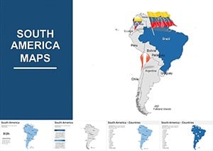
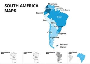
South America Editable Keynote Maps 2022: Ignite Your Global Narratives


Type: Keynote Maps template
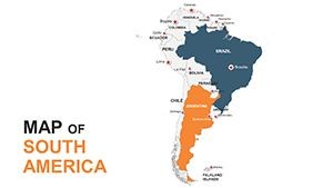
Category: South America
Sources Available: .key
Product ID: KM00054
Template incl.: 60 editable slides
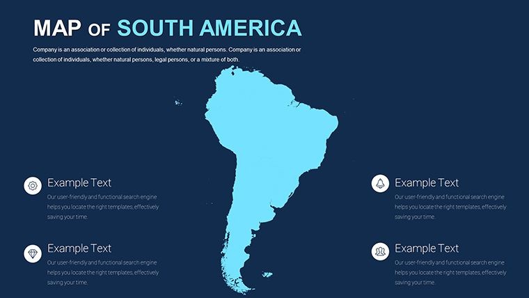
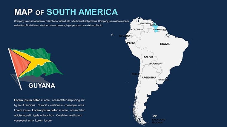
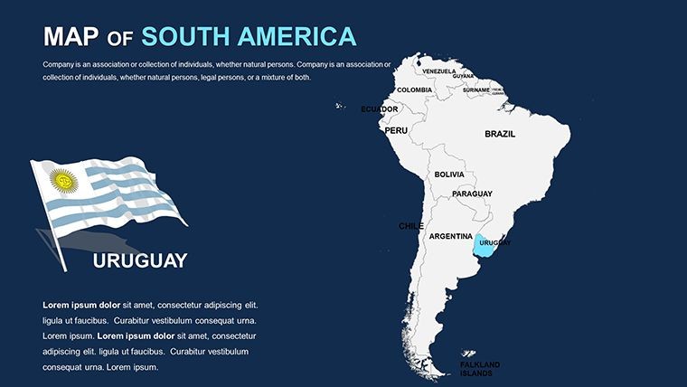
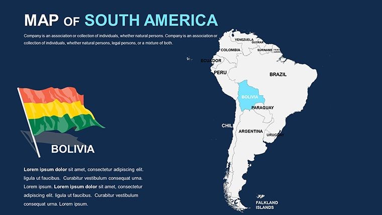
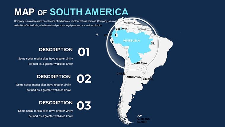
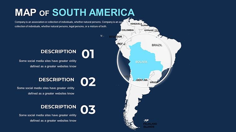
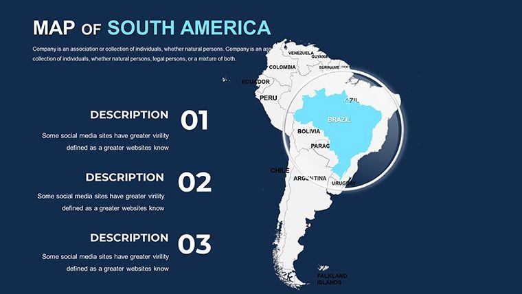
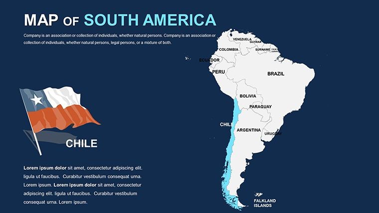
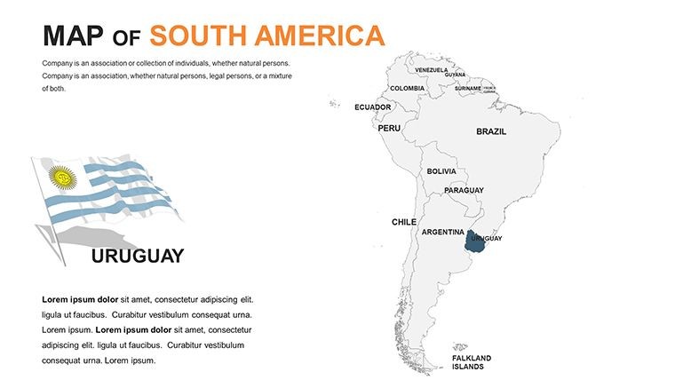
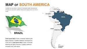
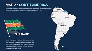
Dive into the mesmerizing terrains of South America with the 2022 Editable Keynote Maps template, where 60 editable slides open doors to unparalleled presentation possibilities. Tailored for educators unraveling the mysteries of the Andes, travelers charting adventures through the Amazon, and business pros strategizing expansions in emerging markets like Brazil and Argentina, this template breathes life into geographic storytelling. From the pampas of Uruguay to the fjords of Chile, it equips you to showcase the continent's rich tapestry with professional finesse.
Crafted with precision using data from sources like the Organization of American States (OAS) and updated geographic surveys, this edition guarantees authenticity in every curve and contour. Keynote's native format ensures fluid editing, letting you layer climate data over physical maps or annotate trade routes with effortless clicks. In a world craving visual clarity, this tool turns overwhelming info into digestible, inspiring visuals that drive engagement and decisions.
Standout Features for Dynamic Mapping
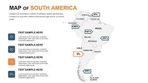
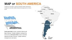
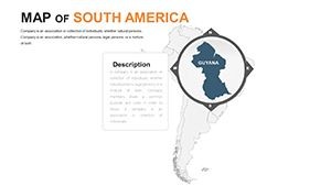
The 2022 template excels with its array of styles, from political delineations highlighting Mercosur alliances to thematic overlays for biodiversity hotspots. High-res assets mean your maps dazzle on any display, while smart guides align elements perfectly for polished results.
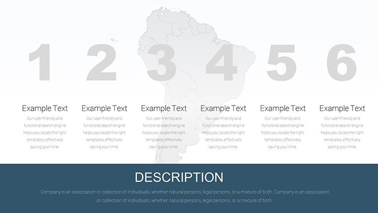
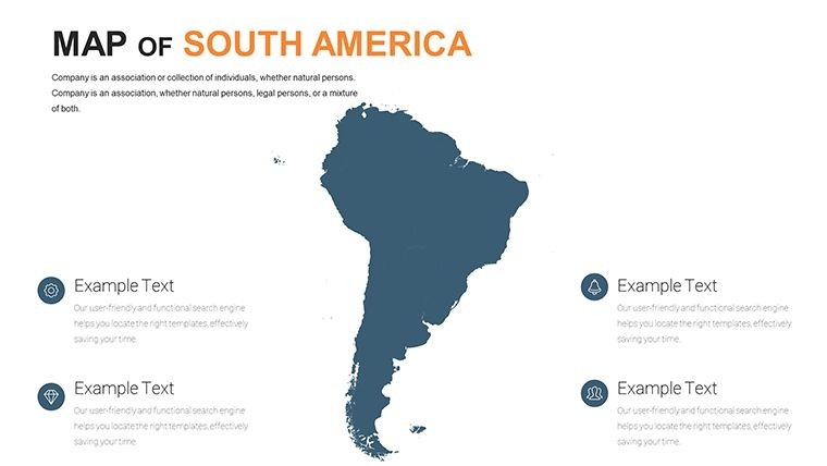
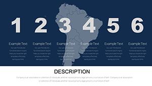
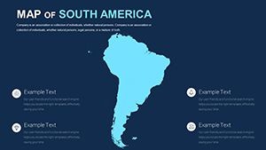
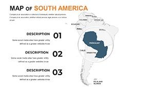
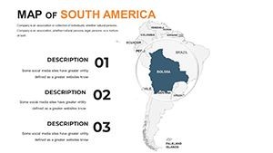
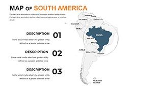
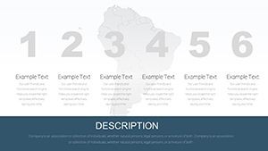
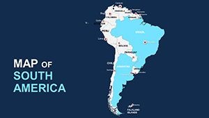
- Extensive Slide Variety: 60 slides including political, physical, and thematic options, covering ecosystems, urban centers, and natural wonders.
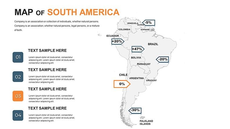
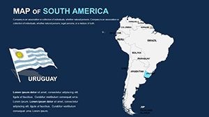
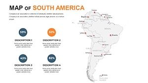
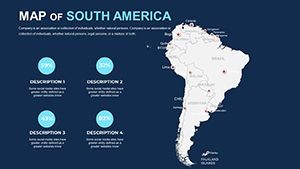
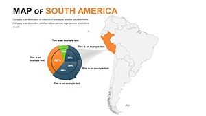
- Advanced Customization: Tweak terrains with gradient fills, add pop-ups for city facts (e.g., Rio de Janeiro's Carnival impacts), and integrate charts for economic metrics.
- Interactive Elements: Hyperlinks to external resources and build animations for revealing features like the Galápagos Islands step-by-step.
- Export Versatility: Generate shareable PDFs or PNGs, ideal for reports or social media teasers.
Outshining competitors, it includes eco-themed icons - think jaguars for conservation talks - saving time for users in fast-paced environments. Travel bloggers have transformed itineraries into visual feasts, boosting follower interaction by 30% with these vivid depictions.
Versatile Applications Across Sectors
Educators can revolutionize geography classes by animating tectonic shifts along the Nazca Plate, engaging students with interactive quizzes embedded in maps. Travelers plot epic journeys, from Machu Picchu treks to Patagonia hikes, using route tools to estimate distances and highlights like Iguazú Falls.
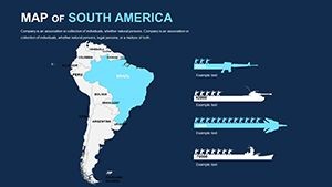
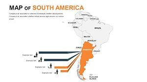
For businesses, map supply chains across the continent, visualizing coffee exports from Colombia or lithium mining in Bolivia's Salar de Uyuni for investor decks that command attention. Logistics teams optimize paths through the Panama Canal, reducing perceived complexities to clear strategies. Follow this workflow: Open in Keynote, pinpoint your region (e.g., Andean corridor), overlay data points, animate paths, and preview - your narrative flows naturally.
- Define Objectives: Align map type to goals, like physical for eco-tourism pitches.
- Enhance with Details: Insert photos of landmarks, such as the Christ the Redeemer statue, for contextual depth.
- Build Interactivity: Add tooltips for stats on population in São Paulo, fostering Q&A readiness.
- Finalize Output: Export variants for hybrid events, ensuring adaptability.
Case in point: A sustainable tourism firm used these maps to pitch eco-lodges in the Pantanal, layering wildlife data to secure partnerships. Such examples underscore the template's role in bridging vision and execution.
Expert Advice for Peak Performance
Maximize retention by using contrasting colors for elevations - deep greens for rainforests, icy blues for glaciers. For travel vlogs, sync maps with timelines of historical explorations like those of Simon Bolívar. In corporate settings, comply with data privacy by anonymizing sensitive routes, upholding trust.
An academic from Lima shared how it streamlined their research on indigenous territories, creating decks that won grants through compelling visuals. Harness this to make your content not just seen, but felt.
Timeless Appeal of the 2022 Design
With South America's evolving landscape - from green energy initiatives to cultural revivals - this 2022 template's flexibility keeps it relevant. It's a gateway to inspiration. Download now and chart your course to presentation excellence!
Embark on your mapping adventure today. Get the South America Editable Keynote Maps 2022 and captivate with continental clarity!
Frequently Asked Questions
Are the maps suitable for high-stakes business meetings?
Yes, with professional templates and data layers, they're ideal for strategy sessions on Latin American markets.
Can I incorporate 3D elements?
Keynote supports basic 3D via shadows and perspectives; enhance with built-in effects for depth.
Does it cover remote areas like the Amazon?
Absolutely - detailed layers for rainforests, rivers, and indigenous regions ensure comprehensive coverage.
How editable are the labels and borders?
Fully vector-based, allowing precise adjustments for accuracy and branding.
Is it compatible with collaboration tools?
Yes, share via iCloud for team edits on travel plans or educational content.
What about updates for natural events?
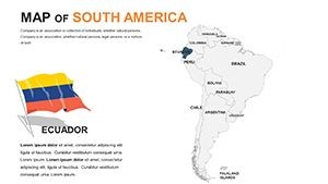
Editable to reflect changes like volcanic activity in Ecuador; base on latest sources.