Editable Africa Keynote Maps 2020: Continental Storytelling at Your Fingertips


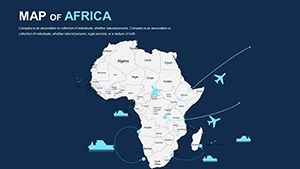
Step into the vast expanse of Africa with the Editable Africa Keynote Maps 2020 template, a powerhouse for anyone aiming to weave compelling narratives around the world's second-largest continent. Boasting 42 meticulously crafted, editable slides, this premium Keynote resource is tailored for business leaders mapping market expansions from Nairobi to Lagos, educators illuminating pan-African history, and nonprofits tracking impact across 54 nations. In an era where data visualization drives decisions, this 2020 edition captures the continent's diversity - from the Sahara's dunes to the Congo Basin's rainforests - empowering you to present with authority and flair.
Rooted in up-to-date geographic intelligence aligned with African Union standards, the template ensures your visuals are not only beautiful but trustworthy. Keynote compatibility means smooth integration into your creative process, with drag-and-drop functionality that lets you infuse personal touches like brand-aligned gradients or interactive hotspots for audience queries. Whether you're dissecting trade corridors in the East African Community or showcasing demographic shifts in West Africa, these maps make abstract concepts tangible, fostering deeper understanding and action.
Core Features That Set This Template Apart
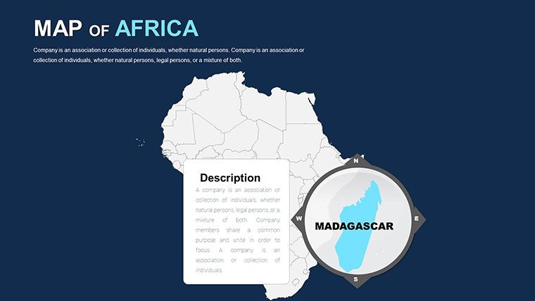
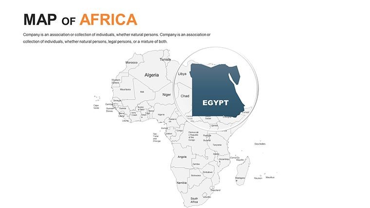
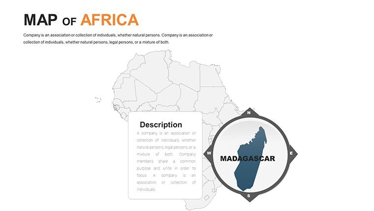
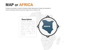
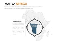
What elevates this 2020 version is its thoughtful design for the entire continent, allowing seamless zooms from broad overviews to country-specific details like Morocco's Atlas Mountains or Ethiopia's Rift Valley. Vector-based elements guarantee pixel-perfect renders, while built-in legends and scales add professional polish without extra effort.
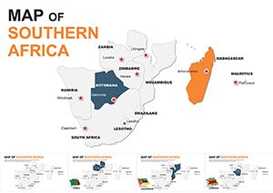
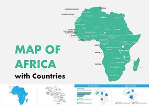
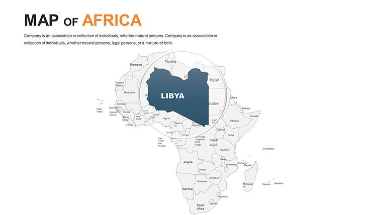
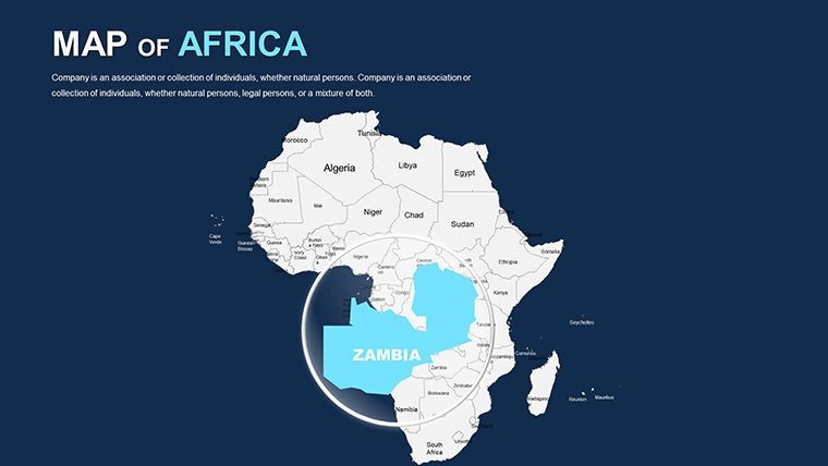
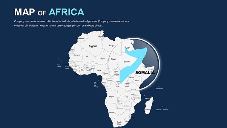
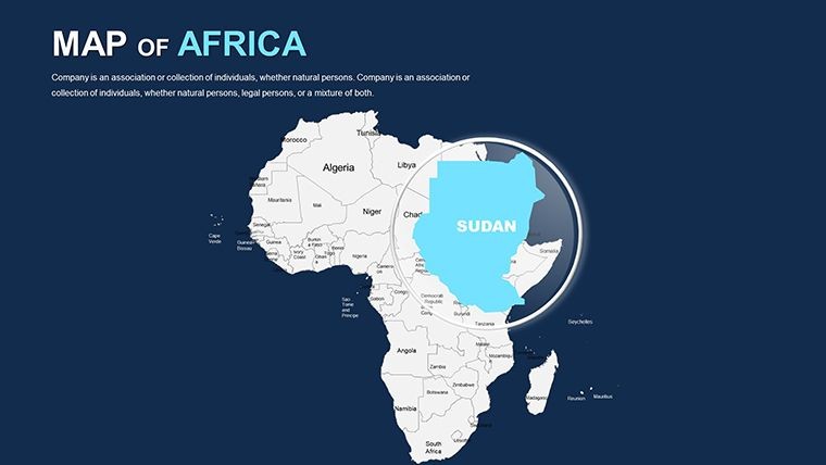
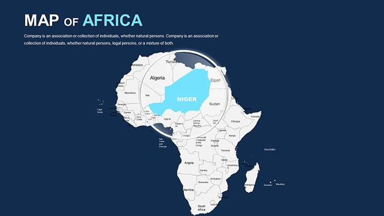
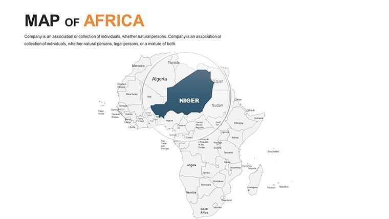
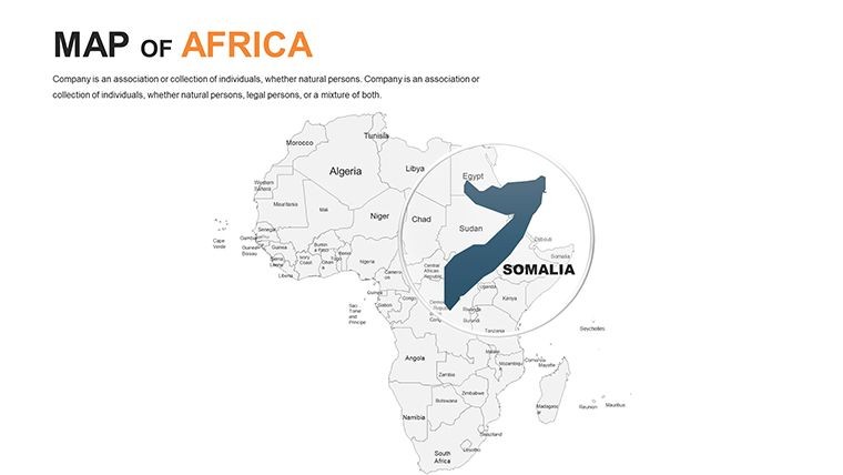
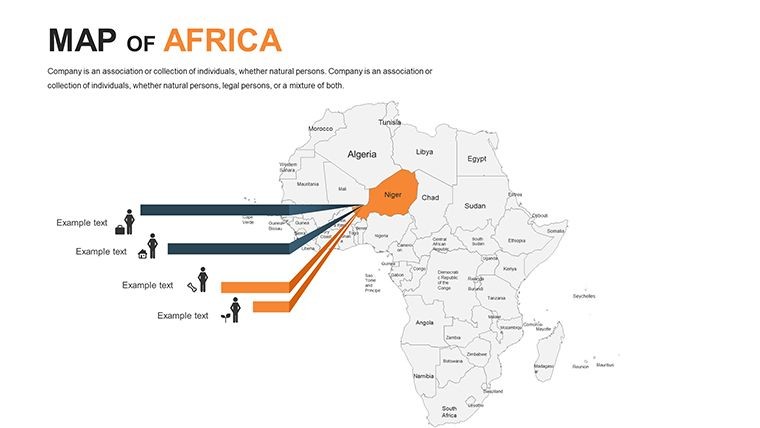
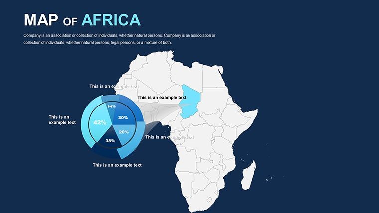
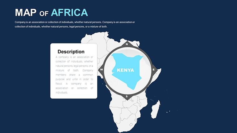
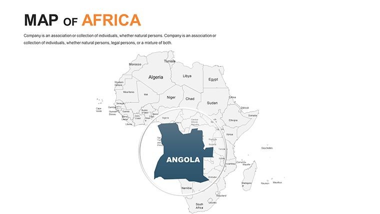
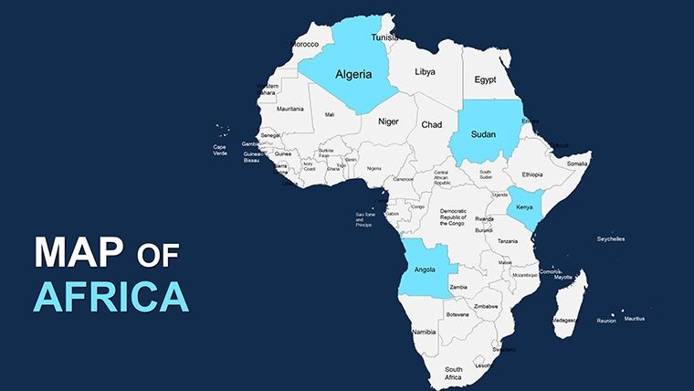
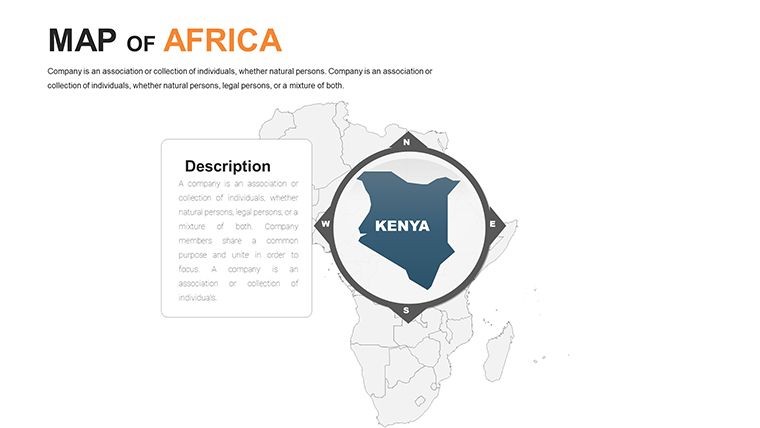
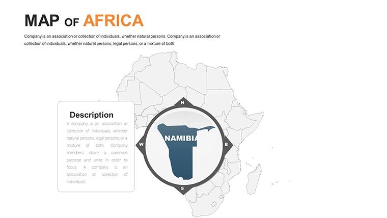
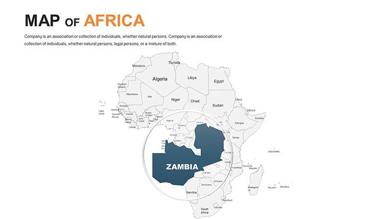
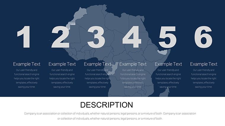
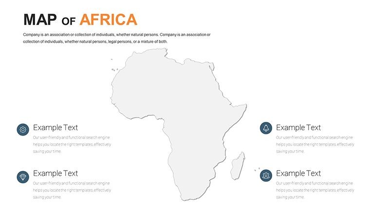
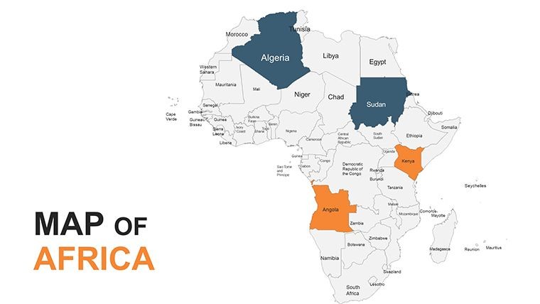
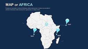
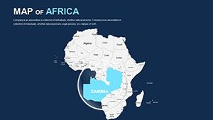
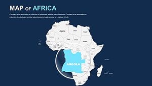
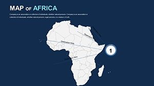
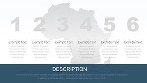
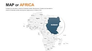
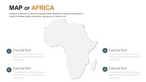
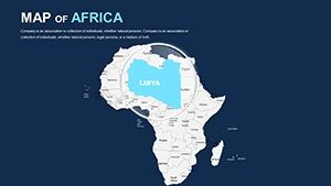
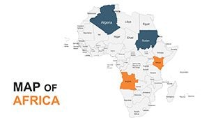
- Full Continental Scope: Coverage of all 54 countries, with layered views for regions like North, East, West, Central, and Southern Africa.
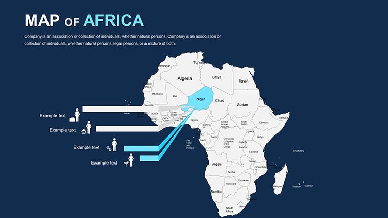
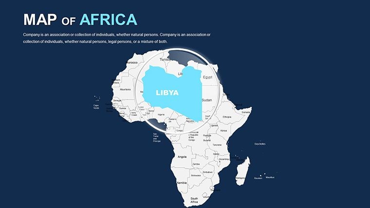
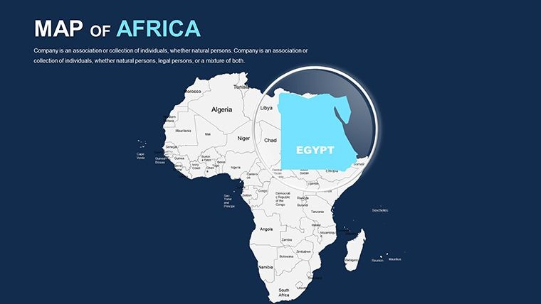
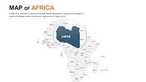
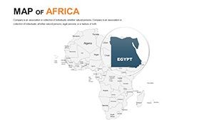
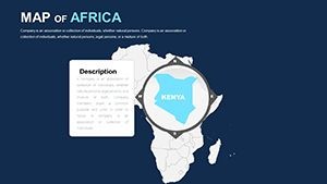
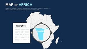
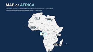
- Intuitive Editing Tools: Resize borders, swap icons for cultural symbols (e.g., pyramids for Egypt), and embed live data from sources like World Bank reports.
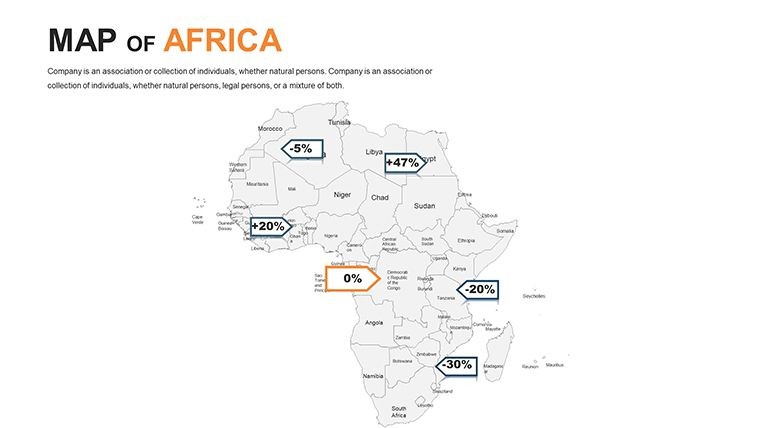
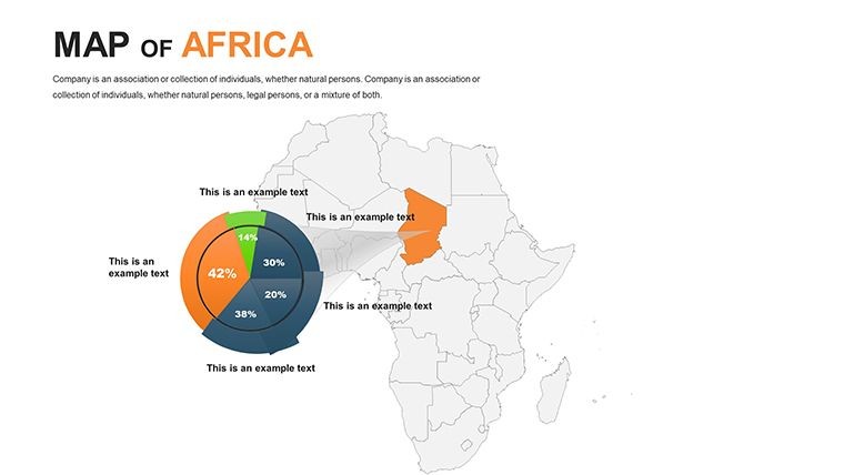
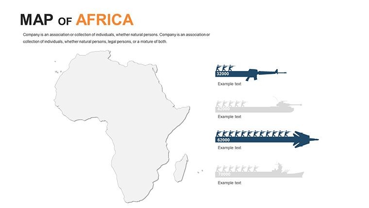
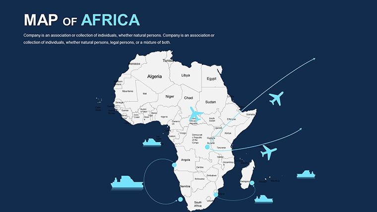
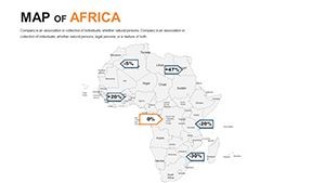
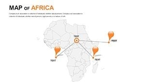
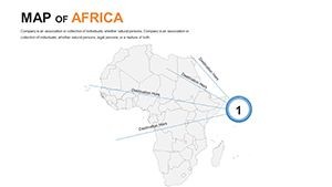
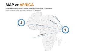
- Diverse Map Variants: Political for governance talks, physical for environmental analyses, and thematic for economic visualizations like resource distribution.
- Performance Optimized: Lightweight files that load swiftly, even with animations, for uninterrupted rehearsals.
Unlike basic mapping software, this template anticipates user needs with pre-configured color palettes inspired by African textiles - vibrant yet balanced - for presentations that pop. Consultants in global firms have leveraged it to illustrate supply chain resilience during disruptions, turning potential vulnerabilities into strategic strengths.
Targeted Use Cases: Bringing Africa to Life in Your Deck
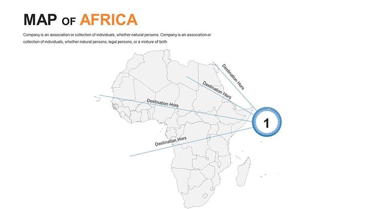
For marketers eyeing pan-African campaigns, use thematic maps to plot consumer trends, overlaying social media metrics on urban centers like Dakar or Addis Ababa to justify expansions. Educators can animate historical migrations, tracing the Bantu expansions across Central Africa, making lessons interactive and memorable for students.
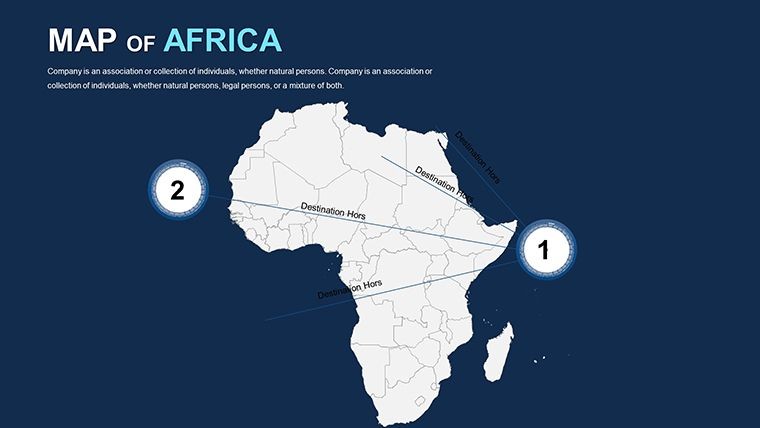
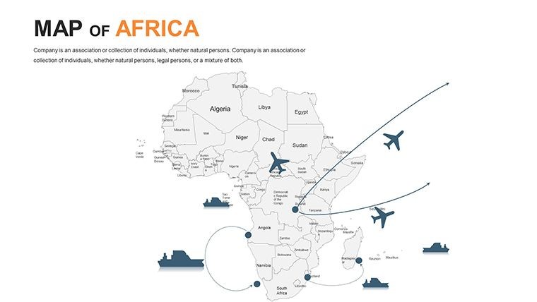
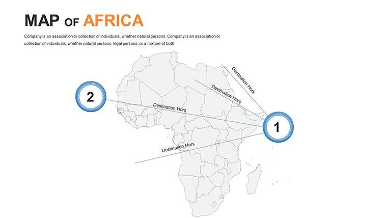
Nonprofits benefit immensely; visualize aid distribution in Sahel regions affected by climate change, using color gradients to show impact zones and success stories. In boardrooms, executives pitch infrastructure like the African Continental Free Trade Area (AfCFTA) with route maps, highlighting connectivity from Cape Town to Cairo. The step-by-step integration is user-friendly: Launch Keynote, import the template, select a slide, input your data via simple tables, and apply effects - your polished map is ready in under 10 minutes.
- Assess Your Narrative: Identify key regions, such as the Nile Delta for agricultural insights.
- Customize Visually: Adjust opacities for overlapping data, ensuring readability on projectors.
- Incorporate Multimedia: Link to videos of landmarks like Victoria Falls for immersive storytelling.
- Test Engagement: Run through transitions to pace revelations, like unveiling population densities progressively.
Real-world acclaim comes from sectors like agribusiness, where firms use these maps to forecast crop yields in the Sahel, aligning visuals with satellite data for investor confidence. This template doesn't just display; it narrates Africa's potential, inspiring action.
Pro Tips for Seamless Workflow
To amplify impact, combine maps with infographics - pair a demographic slide with pie charts on youth populations in Sub-Saharan Africa. Keep text concise, using bullet overlays for stats like urbanization rates in Kinshasa. For virtual presentations, optimize for Zoom by flattening layers, maintaining vibrancy without lag.
A development expert in Geneva noted how this template streamlined their UN report visuals, cutting prep time by 40% while enhancing clarity on migration patterns. Embrace it to craft decks that not only inform but transform perspectives on Africa's dynamism.
The Enduring Value of the 2020 Edition
As Africa's role in global affairs grows, this 2020 template's foundational layers adapt to new narratives, from digital economy booms to renewable energy hubs. It's more than slides; it's a canvas for innovation. Seize the opportunity to download and deploy - empower your presentations with Africa's full story today!
Don't wait; customize your vision of the continent now. Download the Editable Africa Keynote Maps 2020 and lead with visuals that matter!
Frequently Asked Questions
Is the template suitable for large-scale continental presentations?
Yes, with scalable vectors and overview slides, it's perfect for broad to detailed views across Africa.
Can I add external data sources?
Definitely - import CSV files for stats like GDP, seamlessly integrating with map elements.
Does it support multilingual labels?
Editable text fields allow additions in English, French, Arabic, or local languages for inclusive decks.
How does it handle animations?
Built-in presets for fades and builds, customizable to match your pacing needs.
Is it updated for post-2020 changes?
Core structure is timeless; edit for updates like new borders or stats effortlessly.