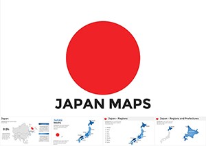
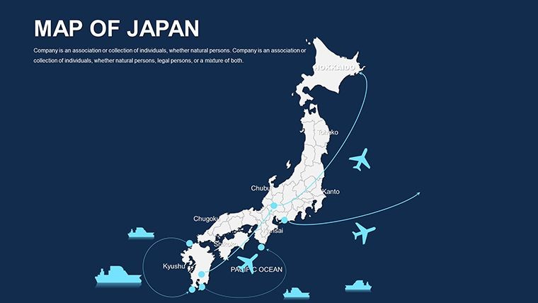
Japan Editable Maps Keynote Template: Eastern Horizons Unveiled


Type: Keynote Maps template
Category: Asia
Sources Available: .key
Product ID: KM00047
Template incl.: 50 editable slides
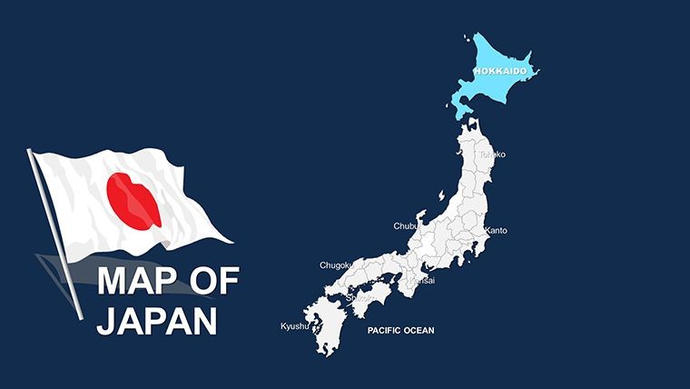
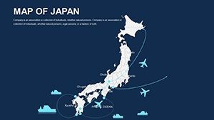
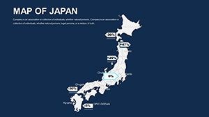
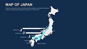
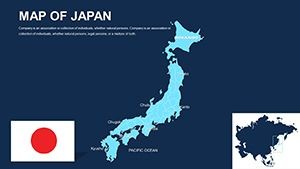
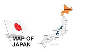
Step into a world where ancient traditions meet cutting-edge innovation, visualized through our Japan Editable Maps Keynote Template. Boasting 50 editable slides, it's crafted for tech entrepreneurs pitching in Tokyo, cultural scholars exploring feudal histories, or business analysts tracing supply chains from Hokkaido to Okinawa. Optimized for Keynote, with full support for PowerPoint and Google Slides, this template allows you to reshape islands, prefectures, and urban sprawls to fit your story - infusing presentations with authentic geographic depth.
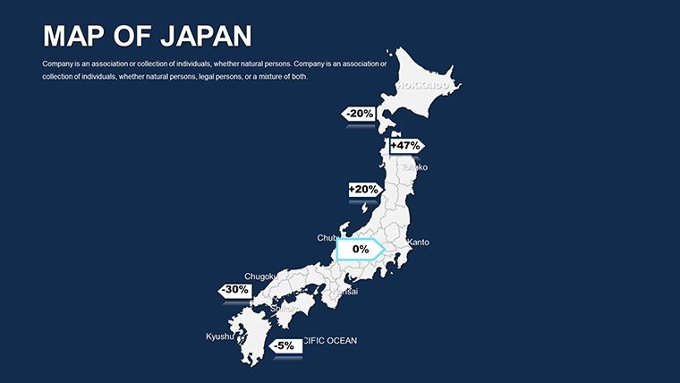
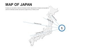
Japan's archipelago demands maps that honor its island-hopping complexity; ours, informed by Japanese Geographical Survey Institute standards, provide just that. From seismic zone overlays to economic corridor highlights, these slides empower you to navigate narratives with poise and precision.
Embracing Customizable Japanese Archipelagic Design
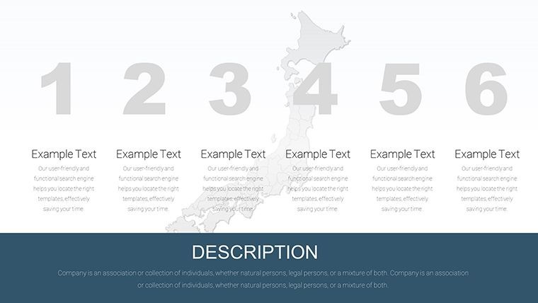
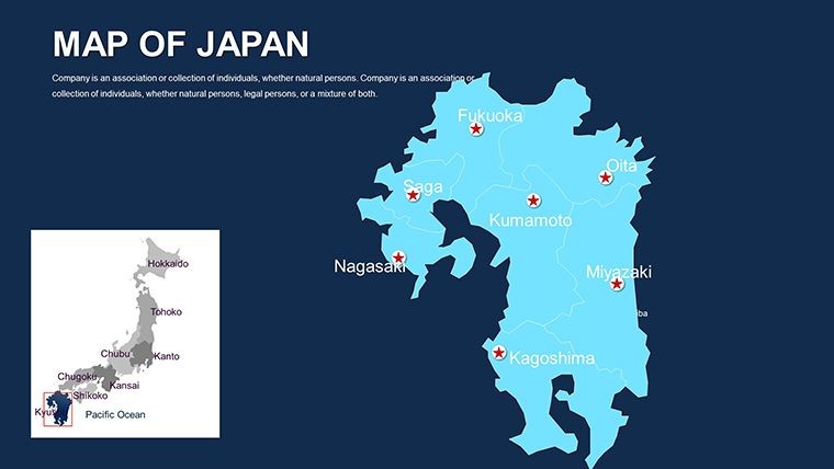
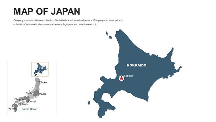
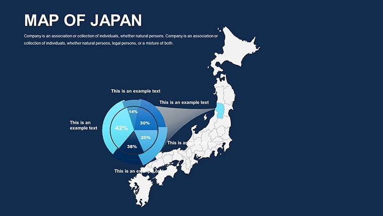
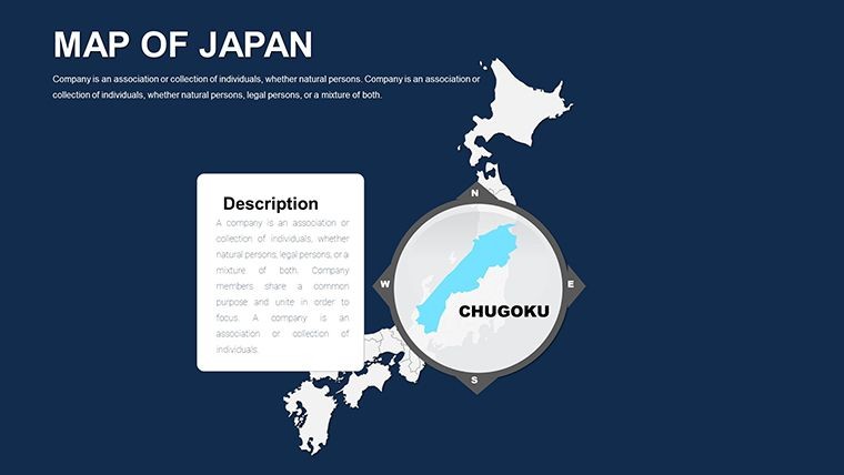
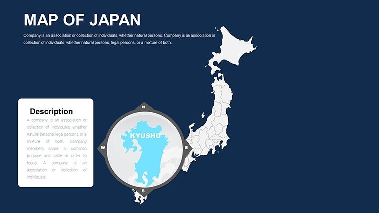
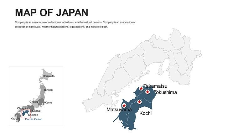
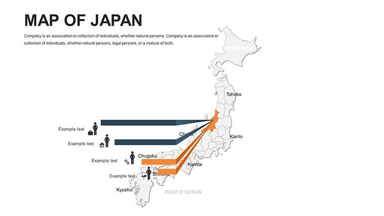
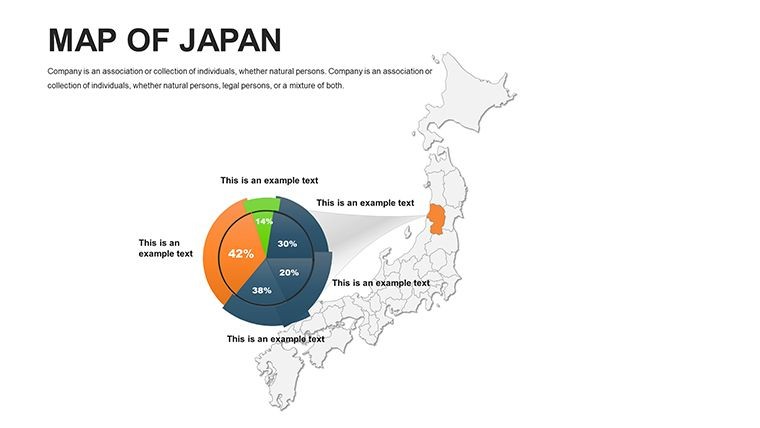
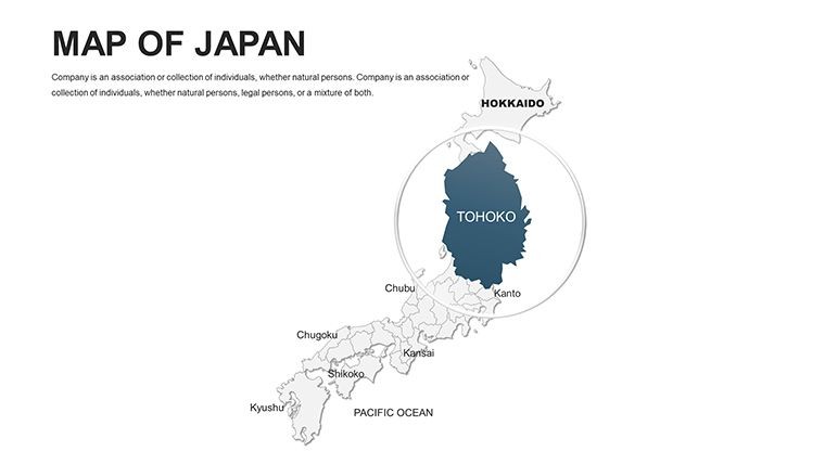
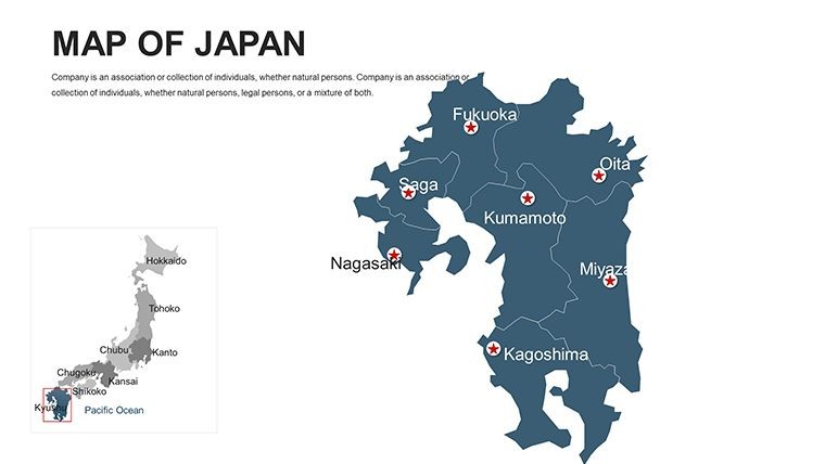
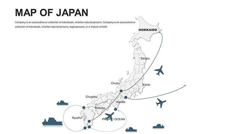
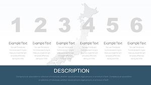
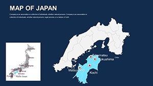
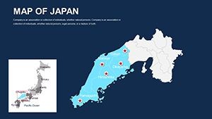
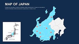
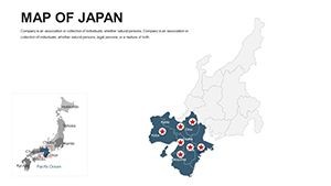
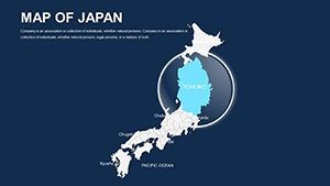
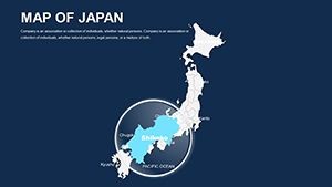
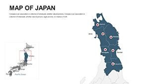
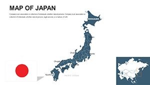
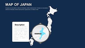
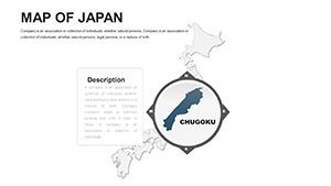
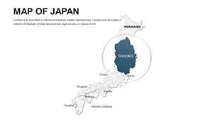
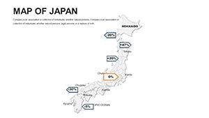
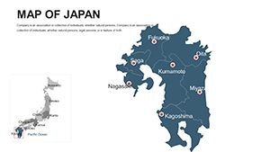
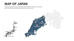
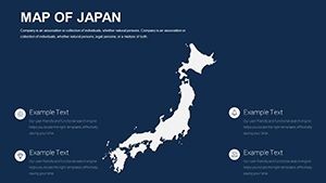
Rich in variety, the template includes slides from nationwide panoramas to detailed prefectural dives, covering over 3,000 islands with scalable detail. Every component invites personalization, blending utility with aesthetic harmony.
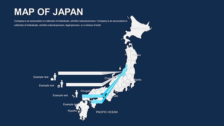
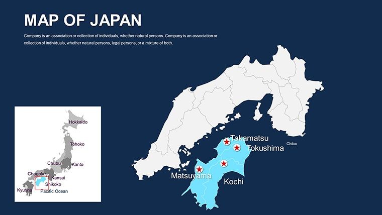
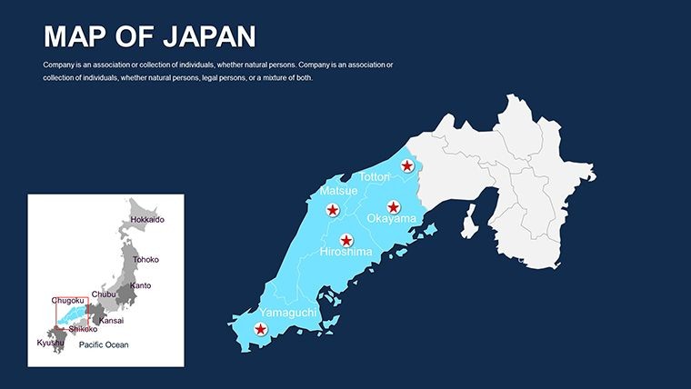
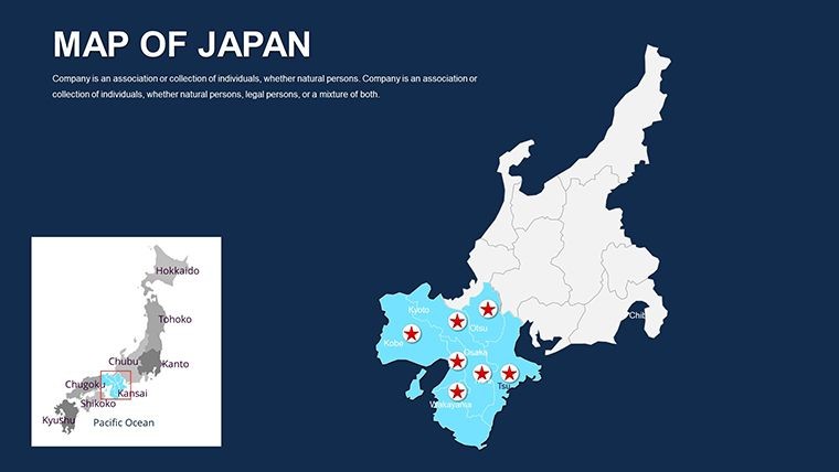
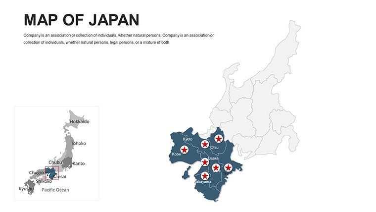
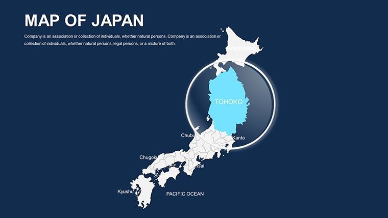
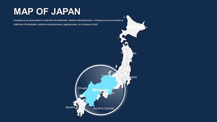
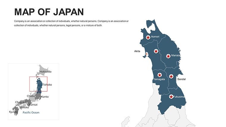
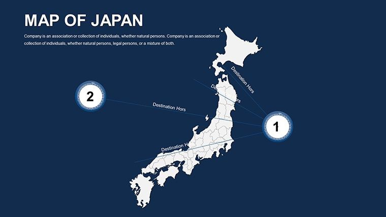
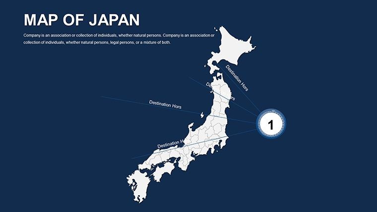
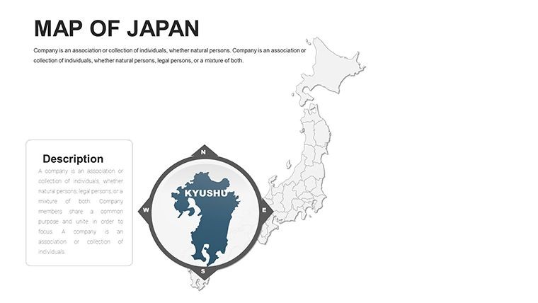
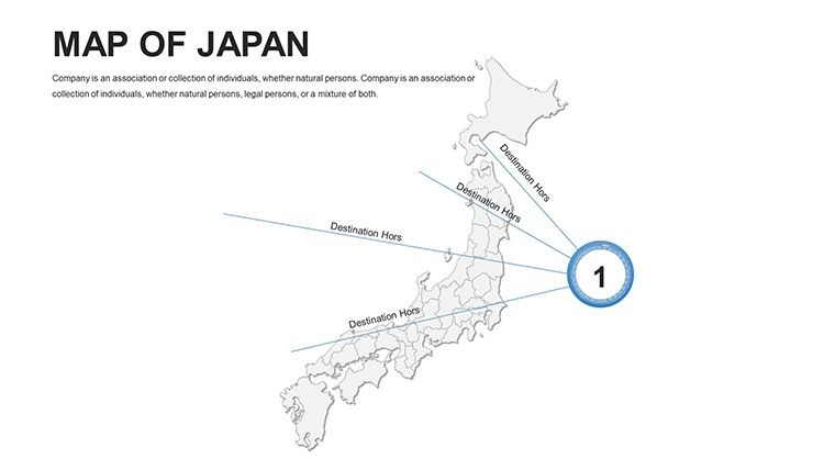
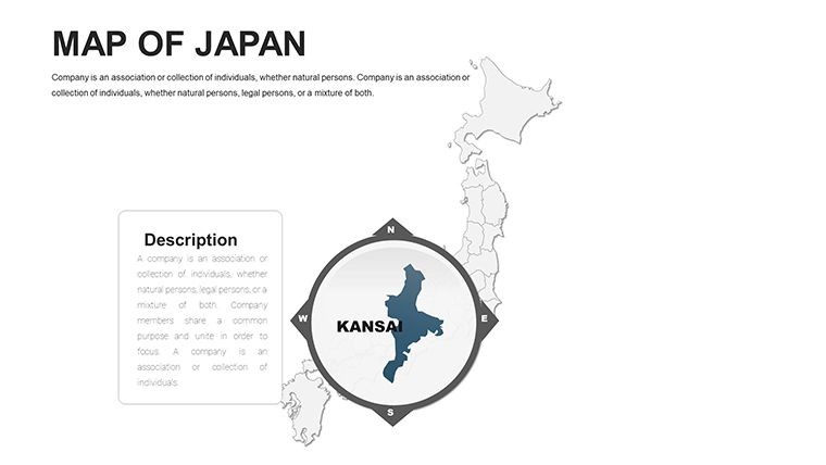
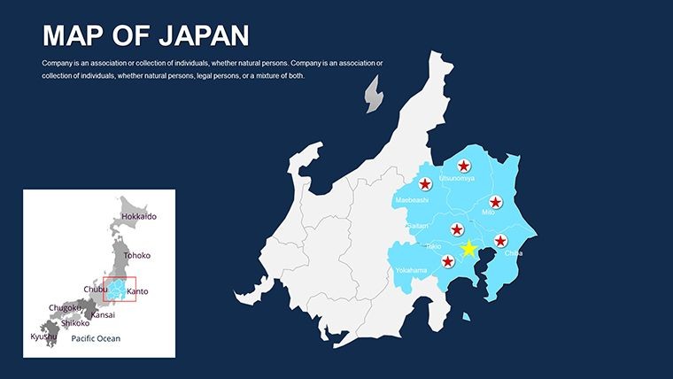
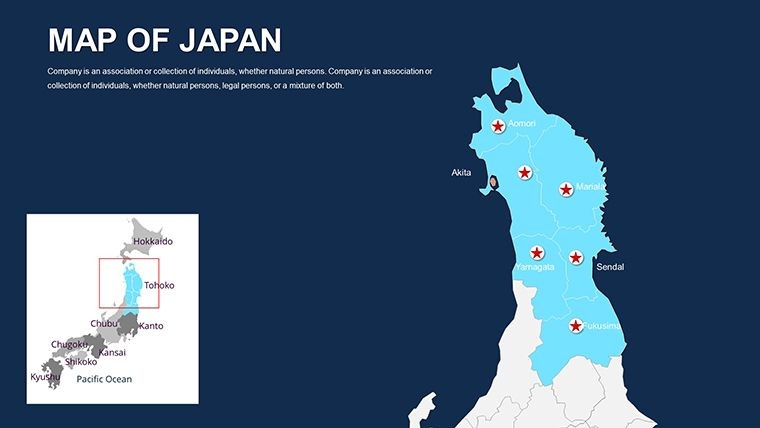
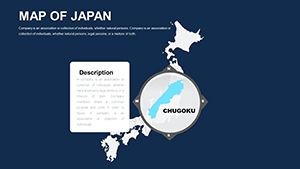
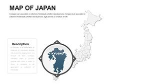
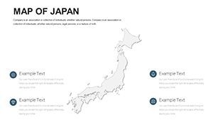
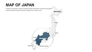
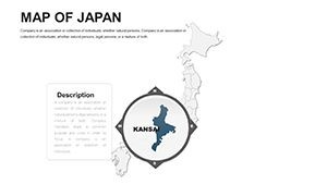
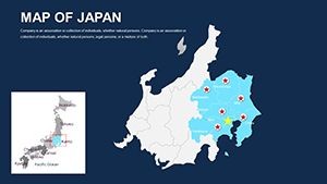
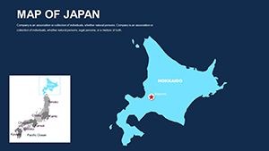
- Island and Prefecture Editing: Reshape or highlight areas like Kyoto's historic districts or Osaka's commercial veins.
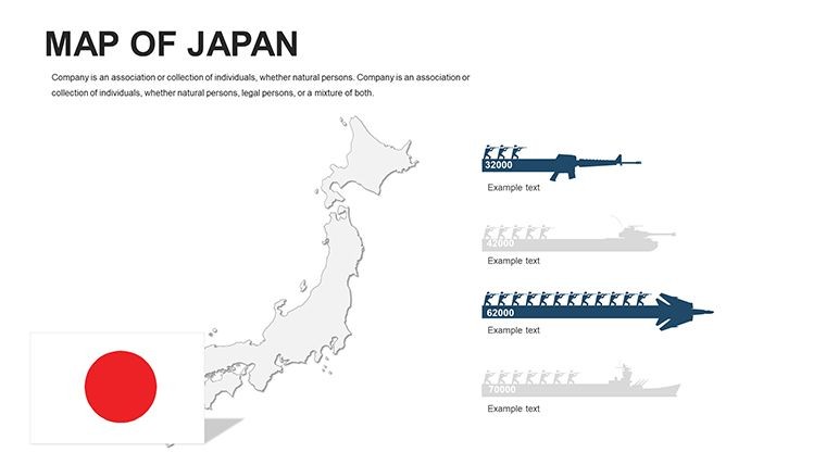
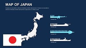
- Cultural Icon Suite: 130+ elements, from samurai motifs to bullet train symbols, for thematic enrichment.
- Harmonious Color Options: Sakura pinks to oceanic blues, adjustable for zen-like serenity or bold contrasts.
- Photo Integration: Seamless embedding of PNGs for Mount Fuji vistas or Tokyo skylines.
Outpacing generic tools, it reduces iteration cycles dramatically, as tech firms like Sony have utilized akin resources for global roadshows. It's more than maps - it's a canvas for strategic expression.
Workflow Essentials: Assembling Japan-Inspired Presentations
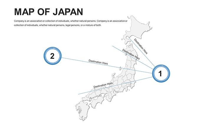
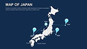
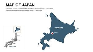
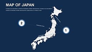
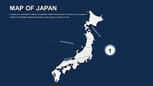
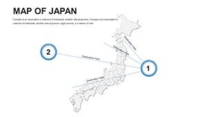
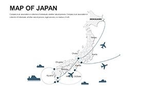
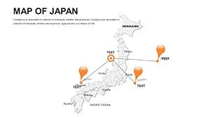
- Map Selection: Begin with an archipelago overview; isolate Honshu for mainland-focused tales.
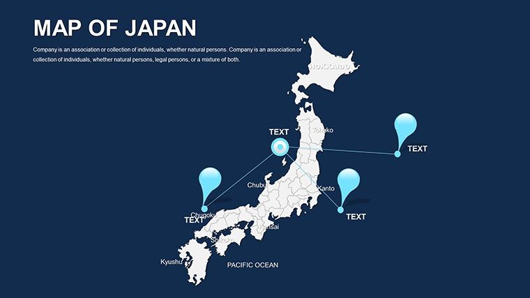
Layer tech hubs, tinting Silicon Valley equivalents in vibrant hues. - Dynamic Additions: Embed videos of cherry blossom festivals, linking to engagement spikes.
- Export Mastery: Animate island reveals, then package for multi-device compatibility.
This approach democratizes design, yielding pro results swiftly. Cultural events have seen attendance surges thanks to evocative map storytelling.
Expansive Use Cases: Japan's Global Influence Mapped
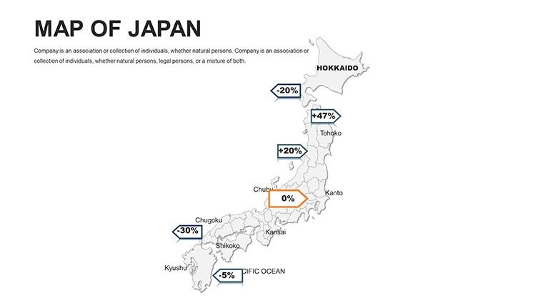
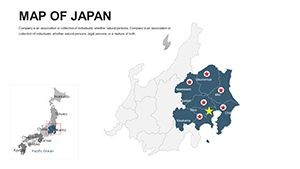
Tech pitches delineate R&D clusters, overlaying patent data for investor appeal. In education, trace samurai eras across regions, animating battles for immersive learning. Business ops visualize export routes, from automotive giants in Nagoya to electronics in Kyushu.
For sustainable planning, map volcanic risks or urban density, aligning with Tokyo's green initiatives. The template's adaptability shines in hybrid formats, sparking cross-cultural dialogues.
Insider tip: Apply gradient fills for elevation storytelling, evoking Japan's mountainous soul. This elevates engagement, making content culturally resonant.
Why This Template Leads the Pack
Endless edits, crisp vectors, and vector/PNG hybrids set it apart. At 50 slides, it's exhaustive yet navigable. Conference speakers in Asia rave about its authenticity in forging connections.
Visualize a startup demo: Japan maps illuminate opportunities, blending tradition with tomorrow. Claim your edge.
Acquire the Japan Editable Maps Keynote Template now - unlock archipelagic artistry.
Frequently Asked Questions
Editable down to individual islands?
Yes, vectors allow precise tweaks for even remote atolls.
Cross-platform compatibility?
Fully, from Keynote to PowerPoint with no fidelity loss.
Suits tech sector needs?
Ideal - overlay innovation metrics on prefectural bases.
Japan-themed visuals included?
130+, encompassing festivals, tech, and nature icons.
Supports multimedia?
Effortlessly, for photos, videos, and interactive links.
Licensing for global use?
Comprehensive, supporting international commercial endeavors.