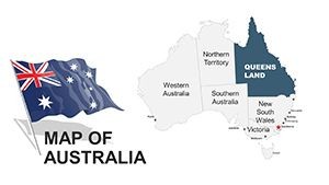
Australia Editable Maps Keynote Template: Charting Down Under's Stories


Type: Keynote Maps template
Category: Australia
Sources Available: .key
Product ID: KM00043
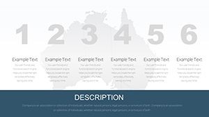
Template incl.: 44 editable slides
Down under doesn't have to mean overlooked in your presentations. Our Australia Editable Maps Keynote Template empowers geographers, educators, and strategic planners to bring the vast Australian landscape to life with 44 meticulously crafted slides. From the bustling streets of Sydney to the remote outback, this template is your gateway to visualizing everything from environmental conservation efforts to economic corridors across the continent, including Tasmania and neighboring oceanic influences.
Tailored for professionals navigating complex terrains - literally and figuratively - this tool addresses the need for accurate, adaptable visuals in fields like urban planning and journalism. Imagine overlaying mining routes on Western Australia's map or tracing migration patterns from Indonesia to Queensland. Built for Apple Keynote, it delivers high-fidelity results that impress in academic lectures, news reports, or boardroom strategies, all while streamlining your creative process.
Discover the Standout Features Tailored for Australia
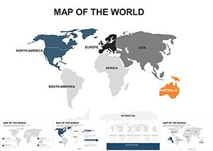
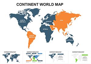
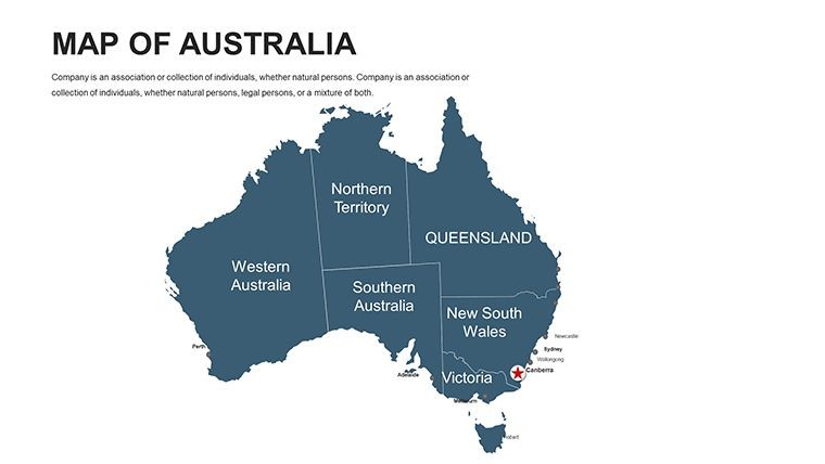
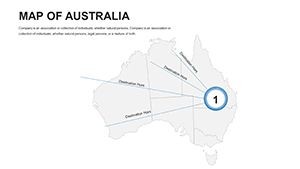
This template stands out with its focus on Oceania's unique geography, offering slides that capture Australia's position between the Indian and Pacific Oceans. Each element is vector-optimized, ensuring no distortion when scaling from state-level details to continental overviews.
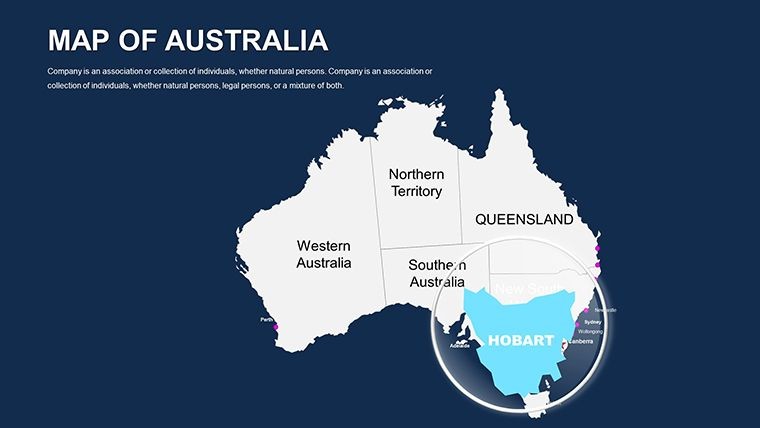
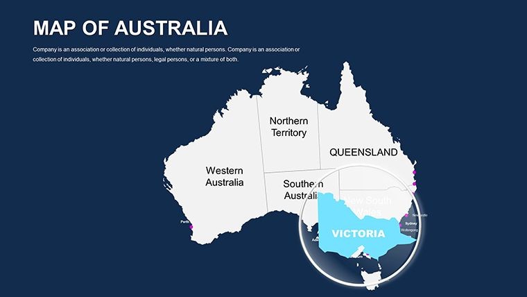
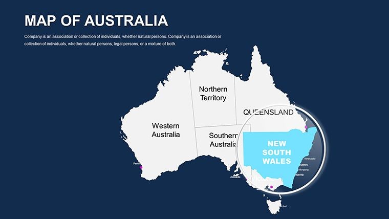
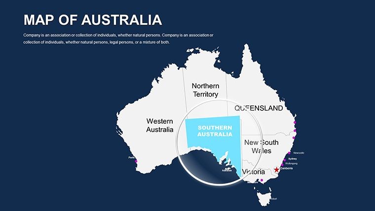
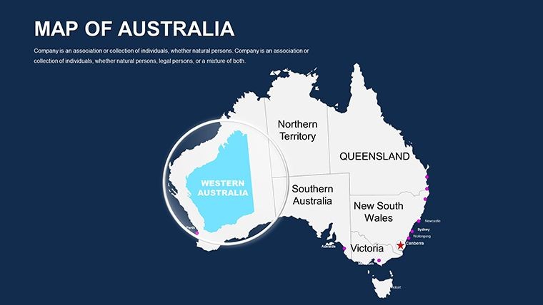
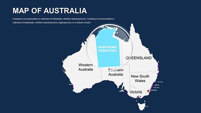
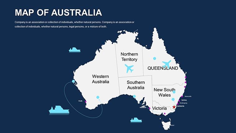
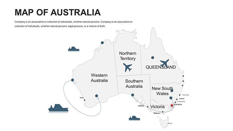
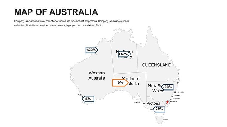
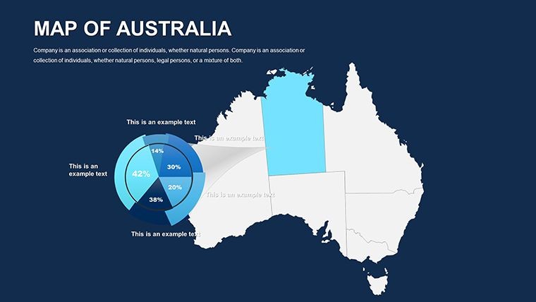
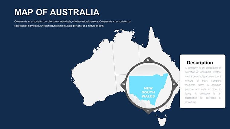
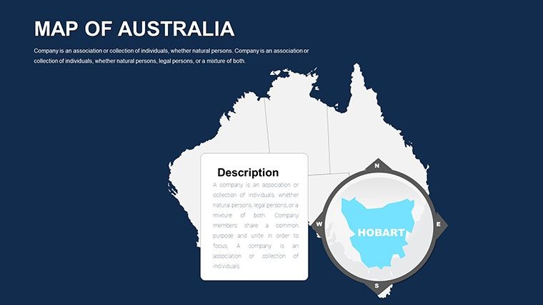
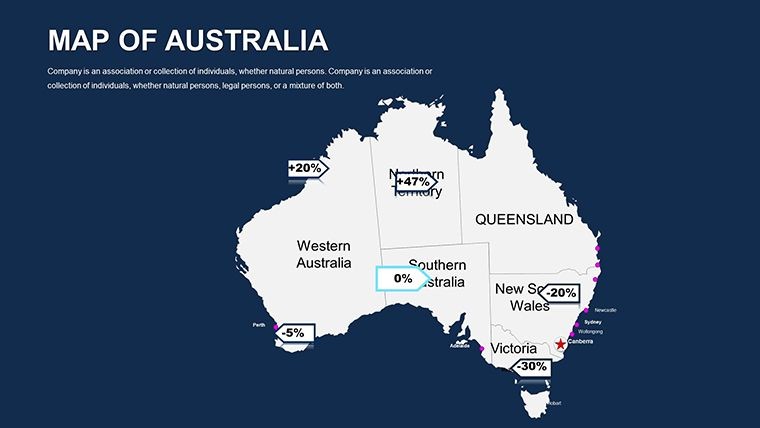
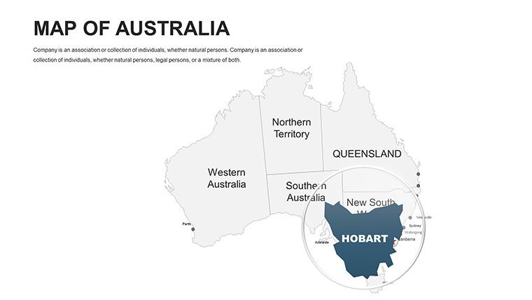
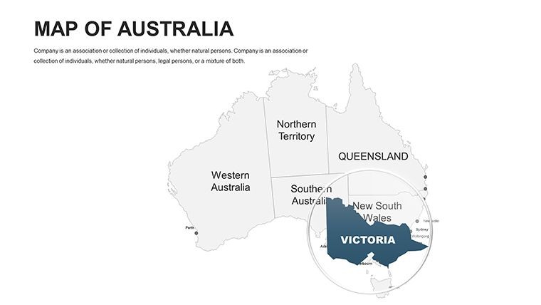
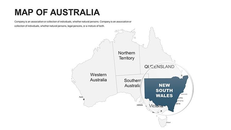
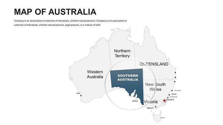
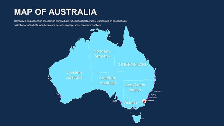
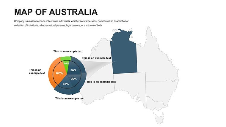
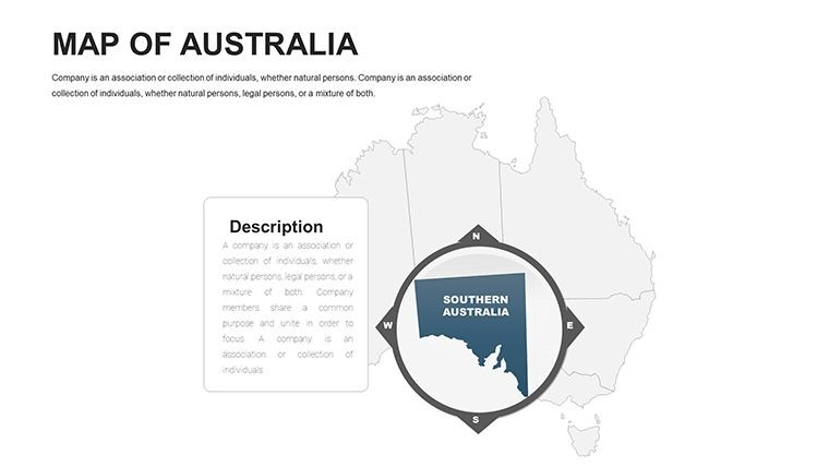
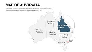
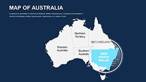
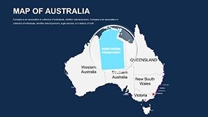
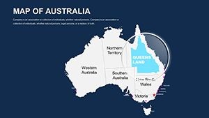
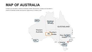
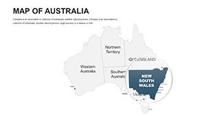
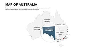
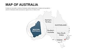
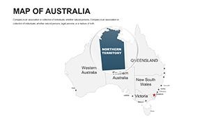
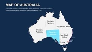
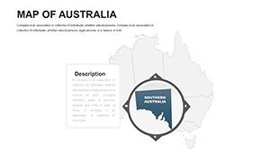
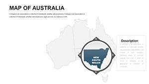
- Dynamic Regional Editing: Highlight states like New South Wales or Victoria with ease - change fills to represent drought impacts or urban growth, incorporating real-time data from sources like the Australian Bureau of Statistics.
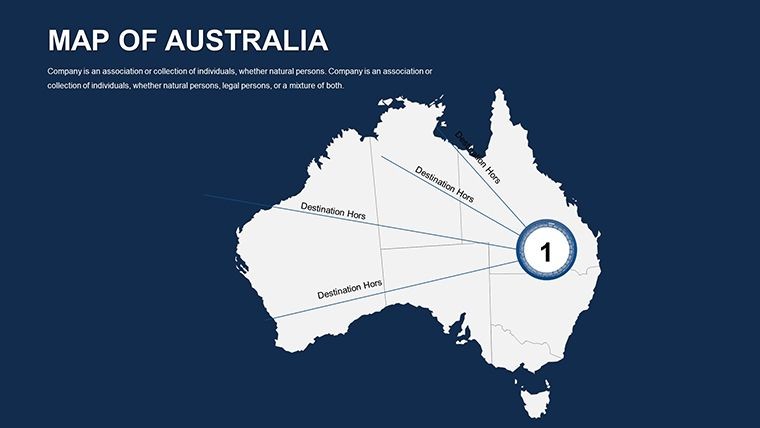
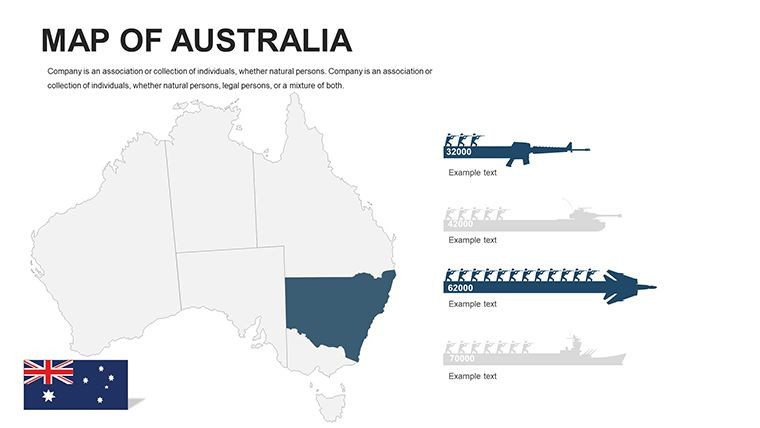
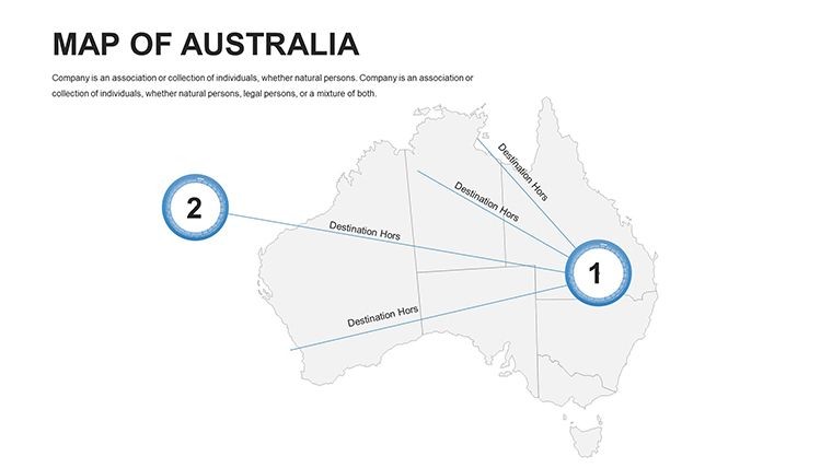
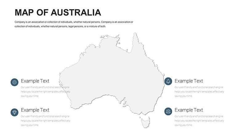
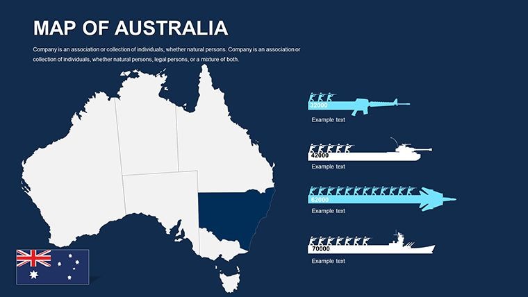
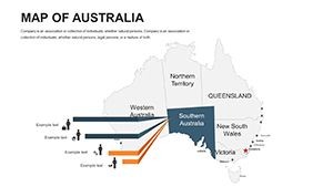
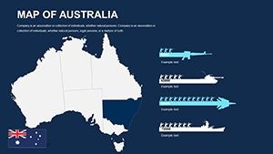
- Advanced Annotation Layers: Add routes for travel itineraries or economic trade paths, with 60+ icons depicting kangaroos for biodiversity zones or ports for logistics hubs.
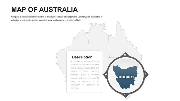
- High-Res Visuals and Animations: Retina-ready designs with subtle animations for revealing island chains like the Whitsundays, enhancing engagement without overwhelming your narrative.
- Versatile Themes: Switch between topographic shading for environmental talks or political boundaries for policy discussions, all with one-click color schemes inspired by Australia's natural palette.
In a world where data drives decisions, these features provide the edge. For example, journalists covering climate change have used analogous templates to map coral reef declines along the Great Barrier Reef, blending satellite imagery with editable overlays for persuasive reporting.
Effortless Workflow in Keynote
Integration is a breeze: Import your dataset into Keynote, align it with slide 15's base map, and customize in minutes. Unlike clunky alternatives, this avoids compatibility hiccups, supporting exports to video for dynamic webinars. Architects planning coastal developments can layer erosion models, aligning with standards from the Royal Australian Institute of Architects.
Practical Use Cases: From Classroom to Conference
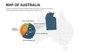
Envision an educator illustrating Captain Cook's voyage: Use slide 8 to trace coastal routes, animating ship paths for interactive history lessons. Journalists might customize slide 32 for economic comparisons, shading states by GDP to spotlight disparities between resource-rich Queensland and tech-driven Melbourne.
Business pros expanding into Asia-Pacific markets can plot supply chains, marking key ports from Darwin to Fremantle. Travel designers craft bespoke itineraries, overlaying scenic drives through the Blue Mountains on slide 25.
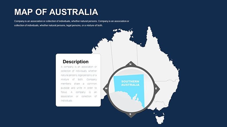
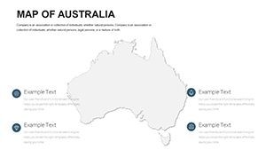
- Educational Mapping: Teach environmental science by overlaying wildlife corridors, fostering discussions on conservation in the Tasmanian wilderness.
- Journalistic Insights: Visualize population shifts post-bushfires, using heat maps to convey urgency and recovery efforts.
- Strategic Planning: For urban developers, delineate growth zones in Perth, integrating demographic forecasts for sustainable cityscapes.
- Tourism Narratives: Highlight eco-tourism hotspots, adding hyperlinks to virtual tours of Uluru for immersive client pitches.
A notable application came from a Sydney firm using editable maps for a renewable energy proposal, mapping wind farm potentials across South Australia - securing funding through clear, data-rich visuals that outpaced traditional slides.
Pro Tips for Peak Performance
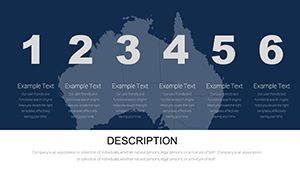
Maximize utility by grouping slides into sections: Use master maps for overviews, then drill down with state-specific variants. Test on external monitors to verify color accuracy for outback reds. Collaborate via Keynote's sharing features, inviting input on route annotations for team-aligned outputs.
This template isn't just a file - it's a catalyst for clearer communication. Grab your Australia Editable Maps Keynote Template today and navigate your presentations with confidence.
Superiority Over Standard Tools
Free maps often lack depth; ours delivers geographic precision plus SEO-friendly keywords for shared decks. Updated for current events like 2025 infrastructure booms, it keeps your content fresh and authoritative.
Transform vague ideas into mapped masterpieces. Download now and set sail on engaging visuals.
FAQ
How editable are the Australia maps in this Keynote template?
Every region, route, and label is vector-based, allowing full customization of colors, sizes, and data overlays directly in Keynote.
Is it suitable for journalistic use?
Yes, perfect for visualizing trends like economic data or environmental stories with accurate, high-res maps.
What file formats are included?
Primarily .key for Keynote, plus PNG exports and vector icons for broader compatibility.
Can educators use it for interactive lessons?
Definitely - animations and layers support engaging, student-led explorations of Australian geography.
Does it cover neighboring countries?
Yes, includes outlines for Indonesia and New Zealand to contextualize Australia's oceanic position.
Is it optimized for Mac devices?
Fully, with Retina support for sharp displays on all recent Macs.