World Map Editable Keynote Template: Navigate Global Narratives Effortlessly


Type: Keynote Maps template
Category: World
Sources Available: .key
Product ID: KM00032
Template incl.: 42 editable slides
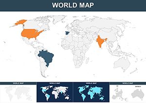
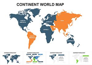
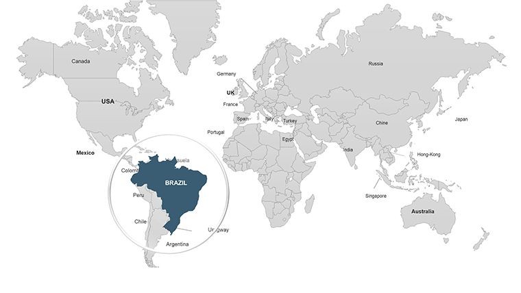
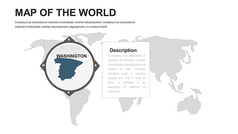
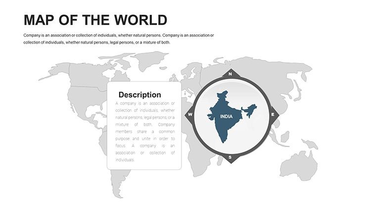
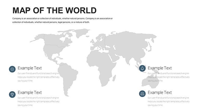
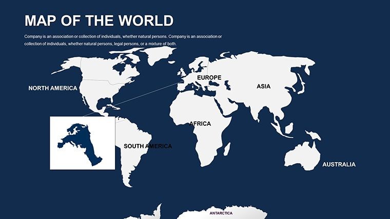
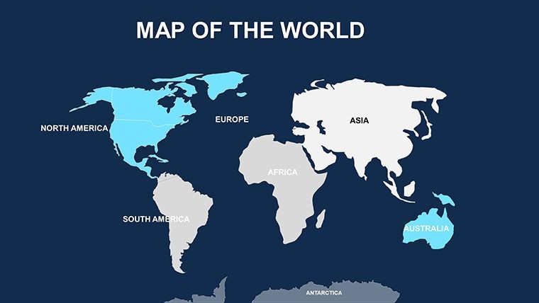
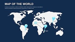
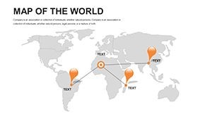
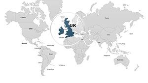
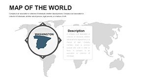
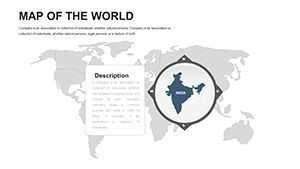
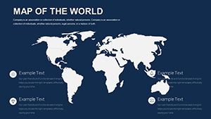
From boardroom strategies spanning continents to classroom explorations of world cultures, a versatile world map is the backbone of any international presentation. Our Editable World Maps Keynote Template delivers exactly that with 42 meticulously crafted slides, offering high customization for Keynote enthusiasts worldwide. Whether you're a global marketer charting expansion paths or a teacher animating trade routes, this template bridges distances, making complex global data accessible and engaging.
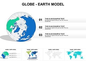
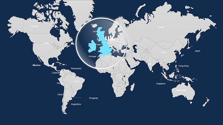
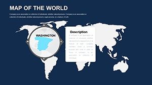
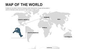
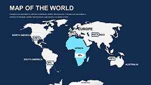
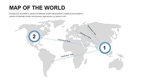
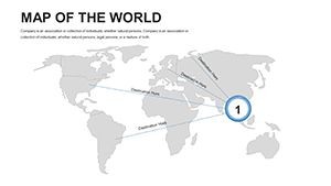
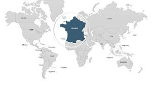
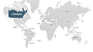
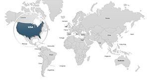
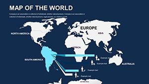
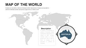
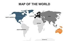
Crafted with vector precision, it features multiple map projections - from Mercator for standard views to azimuthal for polar emphases - ensuring your visuals adapt to any focus. Editable elements let you highlight hotspots like emerging markets in Asia or climate zones in Africa, all while maintaining a professional, modern aesthetic that impresses discerning audiences.
Standout Features of the Global Map Template
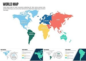
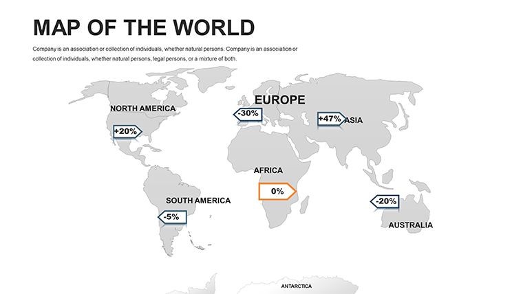
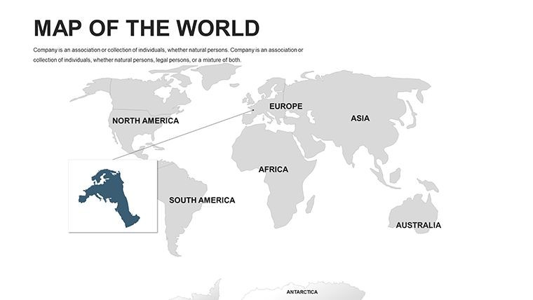
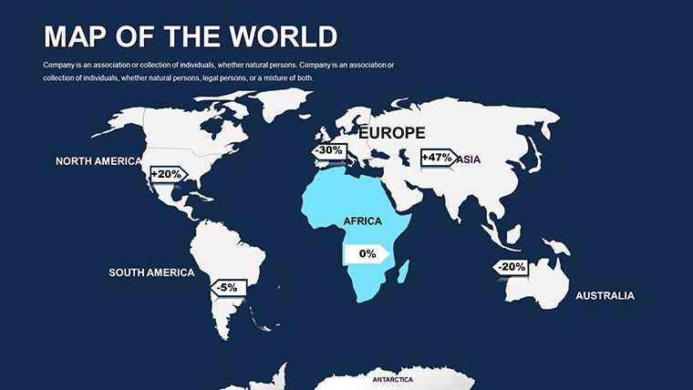
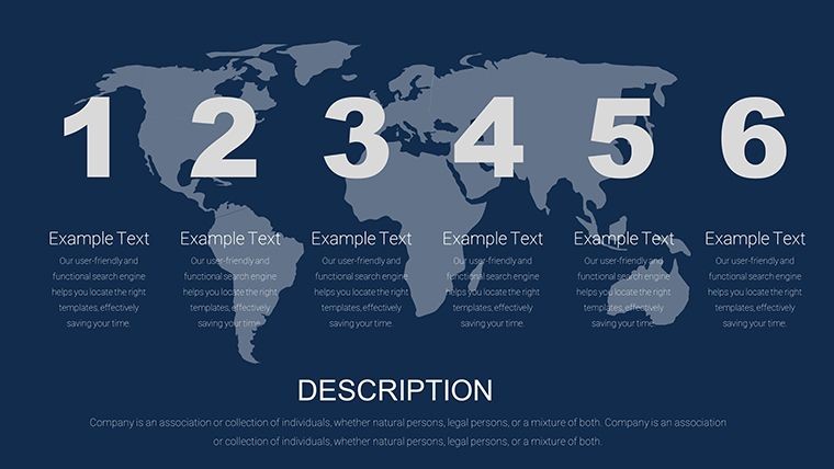
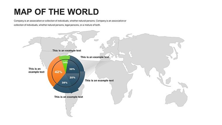
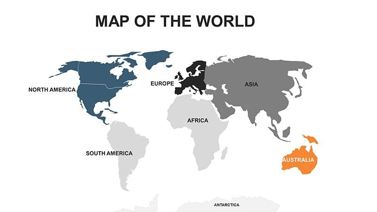
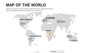
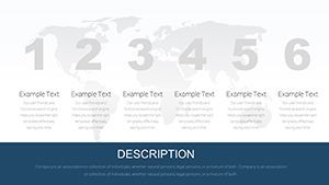
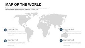
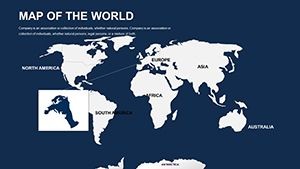
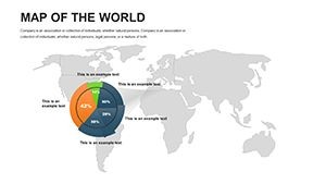
This template's strength lies in its depth and flexibility. The 42 slides encompass full-world overviews, continental breakdowns, and thematic infographics, all ready for your data infusion.
- Diverse Projections: Switch between styles to suit your topic, like Robinson for balanced distortions in environmental talks.
- Vector Editability: Resize countries, add flags, or layer economic indicators without pixelation.
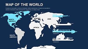
- Dynamic Animations: Zoom into regions smoothly, revealing details like urban growth in Europe step-by-step.
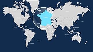
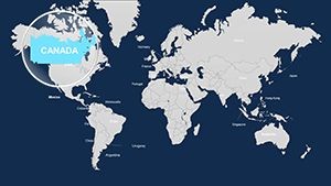
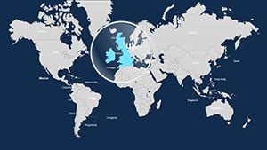
- Geopolitical Updates: Built with current boundaries, easy to tweak for ongoing changes.
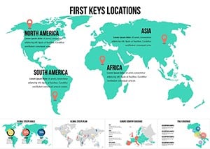
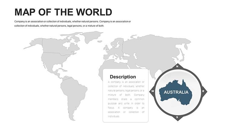
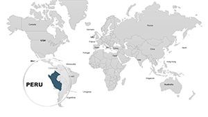
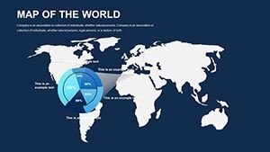
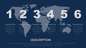
- Infographic Suite: Includes globes, timelines, and icons for oceans, mountains, and capitals.
Inspired by UN reporting standards, these features promote accurate, bias-free visualizations, enhancing your presentation's credibility.
Versatile Applications Across Industries
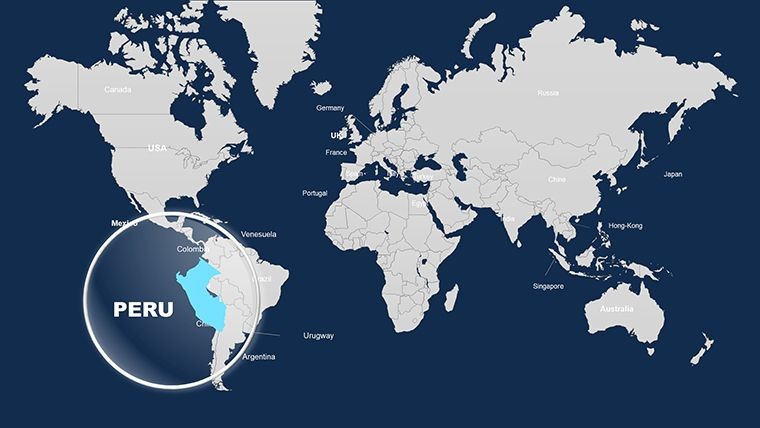
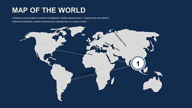
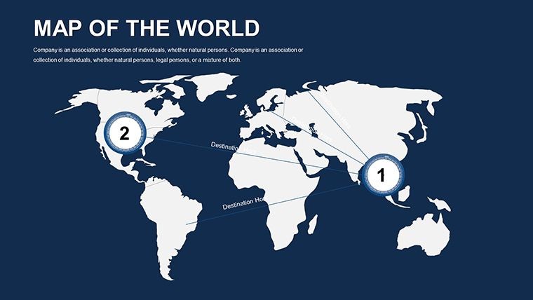
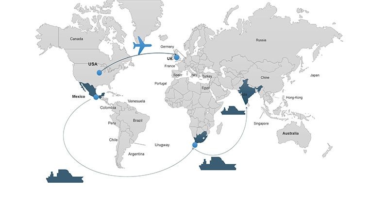
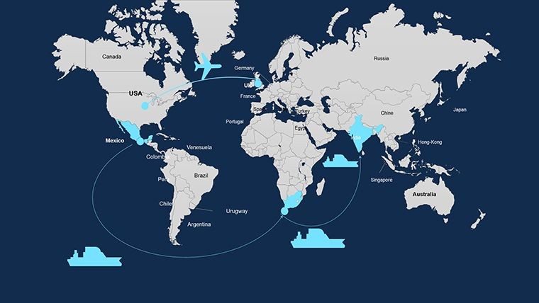
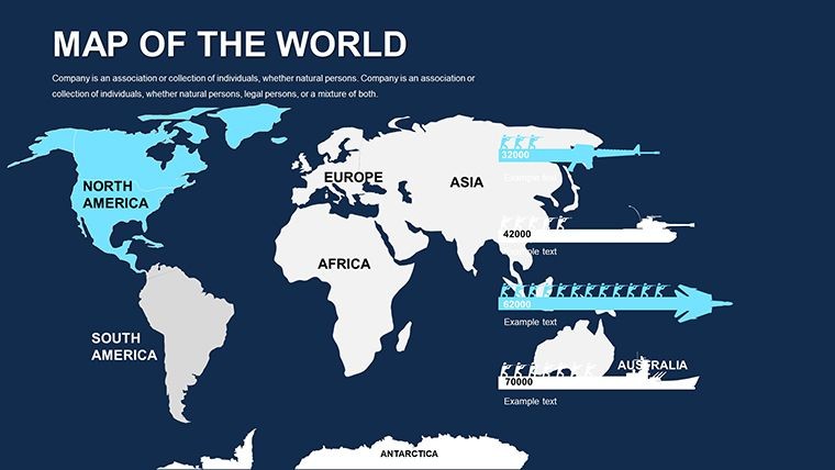
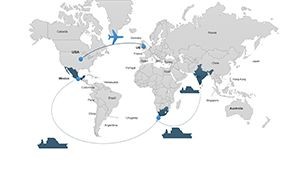
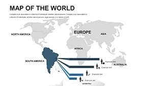
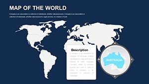
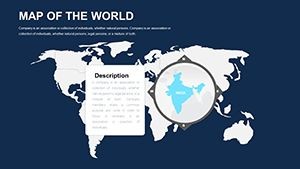
Business leaders can use slide 18 to map supply chains, coloring routes from China to the U.S. for logistics clarity. In education, animate slide 32 to illustrate the Silk Road, fostering interactive learning. Researchers benefit from overlaying biodiversity data on slide 7, pinpointing conservation areas in the Amazon.
For NGOs, it's perfect for impact reports - customize slide 41 to show aid distribution globally. Versus basic maps, this template provides 150% more projection options, streamlining global storytelling and increasing audience comprehension by vivid, layered designs.
- Gather Global Data: Import from sources like World Bank APIs into Keynote tables.
- Customize Projections: Select and warp maps to emphasize equatorial or hemispheric views.
- Add Interactivity: Link annotations to pop-up stats for deeper dives.
- Preview and Polish: Animate sequences for narrative flow, then share via cloud.
Real-world example: In a TED-style talk on climate migration, users have employed this to map refugee flows, captivating viewers with fluid transitions.
Insights from Global Presentation Pros
As someone versed in international communications, I suggest using LSI terms like "continental data visualization" to enrich context. For accuracy, cross-reference with GIS tools before finalizing. Tip: Employ high-contrast for dark-mode compatibility in virtual meetings.
Seamlessly integrate with remote collaboration platforms, updating maps in real-time for team reviews. For sustainability pitches, leverage eco-themed icons to align with global agendas like the SDGs.
Seize the World: Download Your Template Today
Empower your global visions with this essential tool - customize and present with confidence now!
Frequently Asked Questions
Does the template support multiple languages for labels?
Yes, editable text fields allow easy switching to any language.
How often are geopolitical updates provided?
Annually, with user-requested patches for major events.
Is it suitable for high-resolution prints?
Vector format ensures print-ready quality up to poster size.
Can I add 3D elements to the maps?
Keynote's tools support basic 3D; enhance with shadows for depth.
What's included for educational use?
Lesson-plan friendly slides with blank templates for student customization.
Compatibility with Google Slides?
Exportable, but best in Keynote for full editability.