South Africa Keynote Map Template: Visualize Your Ideas with Precision


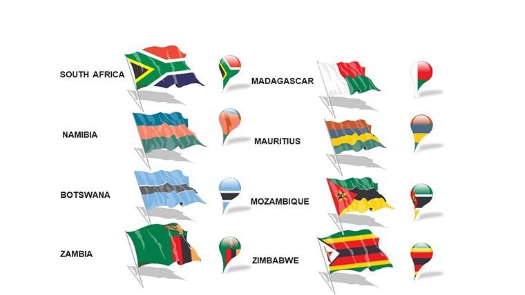


Imagine transforming complex geographical data into stunning visuals that tell a compelling story about South Africa's diverse landscapes, from the bustling streets of Johannesburg to the serene vineyards of the Western Cape. As a presentation designer with years of experience crafting tools for professionals in urban planning, business development, and education, I've seen how the right map can turn a dry report into an engaging narrative. Our South Africa Keynote Map Template is designed precisely for that purpose, offering 39 editable slides that blend high-quality cartography with seamless Keynote integration. Whether you're an architect outlining urban expansion projects, a marketer highlighting market territories, or an educator diving into African geography, this template empowers you to create presentations that resonate and inform.
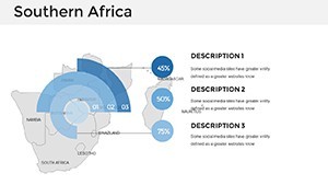
What sets this template apart is its focus on South Africa's unique topography and cultural hotspots. Built for Keynote users who demand flexibility, it includes vector-based maps that scale perfectly without losing clarity, ensuring your visuals look sharp on any screen - from laptops in boardrooms to projectors in lecture halls. With full editability, you can tweak colors to match your brand palette, add custom labels for specific provinces like KwaZulu-Natal, or overlay data points for economic analyses. No more wrestling with clunky graphics software; everything is optimized for quick modifications right within Keynote, saving you hours of prep time.
Key Features That Make Your Presentations Stand Out
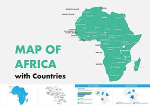
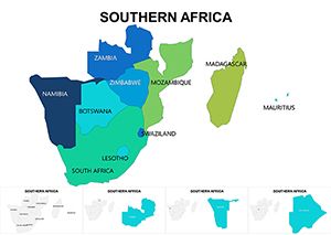
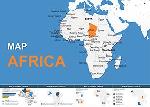
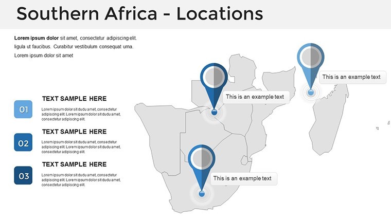
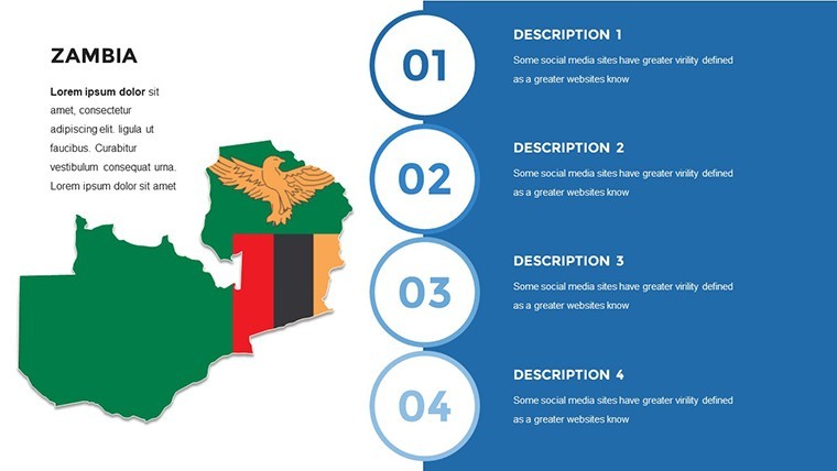
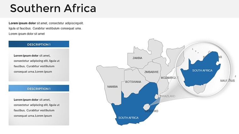
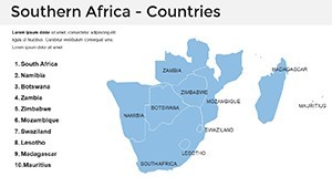
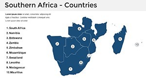
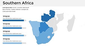
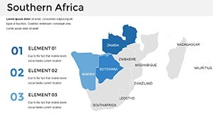
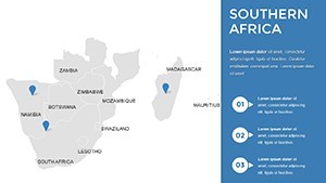
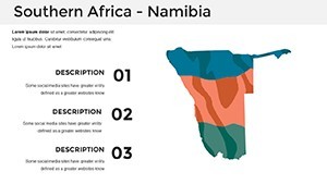
Dive deeper into what makes this South Africa Keynote Map Template a must-have. Starting with the core asset: a comprehensive set of regional maps covering all nine provinces, major cities like Cape Town and Durban, and iconic landmarks such as Table Mountain and the Kruger National Park. These aren't generic outlines; they're handcrafted with attention to detail, incorporating subtle shading for elevation and clean lines for borders, drawing from standards used in professional GIS tools.
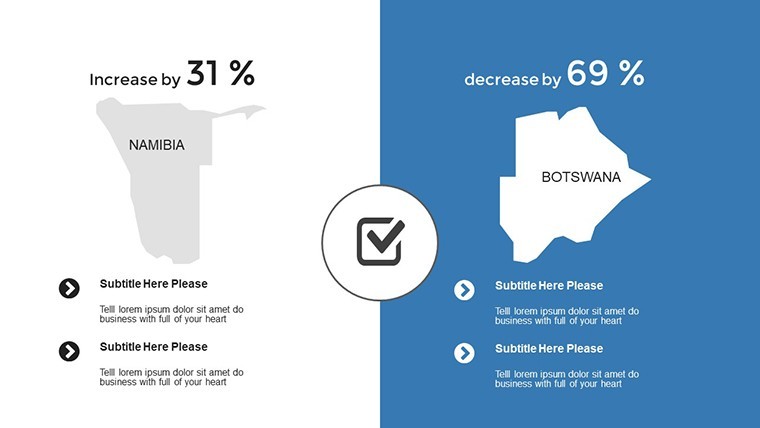
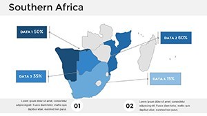
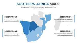
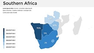
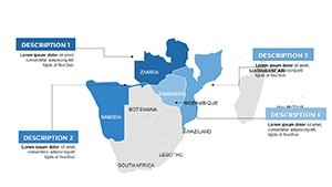
- Fully Editable Elements: Every map, icon, and text box is customizable. Change fill colors for provinces to represent sales data - green for growth areas, red for challenges - or animate paths to show migration trends in urban planning scenarios.
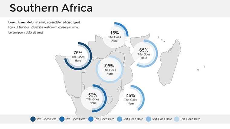
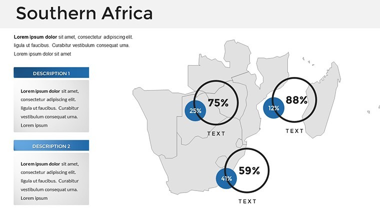
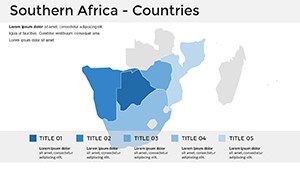
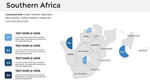
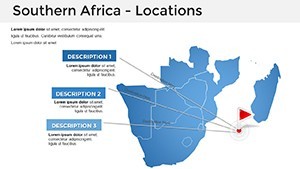
- Variety of Layouts: From overview maps of the entire country to zoomed-in city schematics, the 39 slides offer diversity. Include thematic slides for timelines, such as South Africa's post-apartheid development, or comparison charts juxtaposing urban vs. rural demographics.
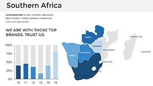
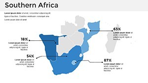
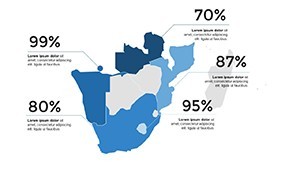
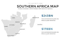
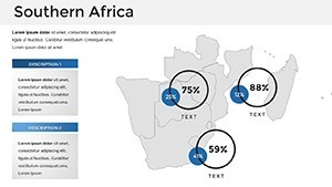
- Integrated Infographics: Beyond maps, you'll find pie charts, bar graphs, and flow diagrams tailored to geographical themes. For instance, visualize tourism revenue by province with interactive elements that respond to clicks, enhancing audience interaction.
- Professional Design Standards: Aligned with AIA-inspired principles for clarity in architectural visualizations, the template uses a clean sans-serif font (free and included) and a color scheme evoking South Africa's vibrant palette - earthy tones with pops of turquoise for coastal regions.
Compatibility extends beyond Keynote; export effortlessly to PowerPoint for cross-platform teams, maintaining vector quality. And with built-in animations, subtle transitions like fade-ins for map reveals keep viewers hooked without overwhelming the content.
Real-World Applications: Bringing South Africa to Life in Your Slides
Consider a real-world case: An urban planning firm in Pretoria uses this template to pitch a sustainable development project in Gauteng. By customizing the Johannesburg metro map slide, they overlay proposed green spaces and transport links, using color-coded layers to demonstrate environmental impact. The result? A client convinced by visuals that feel both data-driven and artistic, leading to project approval.
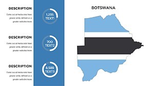
For educators, picture a lecture on South African history. Slide 15's timeline map integrates key events like the Soweto Uprising, with editable pins that pop up descriptions on hover - turning passive viewing into an interactive journey. Businesses in mining or agriculture benefit too; highlight resource distribution across the Free State or Northern Cape with bar overlays, making quarterly reports far more digestible than spreadsheets.
- Step-by-Step Customization Workflow: Open the template in Keynote, select a map slide (e.g., Slide 22 for provincial overview), double-click shapes to recolor, add text via drag-and-drop, and apply animations from the toolbar. Test on a sample audience for feedback.
- Integration Tips: Pair with Keynote's built-in charts for hybrid slides - import Excel data into a map-backed graph to show GDP growth by region, ensuring your narrative flows logically from macro to micro views.
- Advanced Use Cases: In travel agencies, showcase itinerary routes from Durban to Cape Town with curved line animations. Architects can adapt landmark-focused slides for site analysis, aligning with LEED certification visuals for eco-friendly builds.
Compared to basic PowerPoint defaults, this template's South Africa-specific details eliminate the need for external sourcing, reducing errors and boosting credibility. Users report up to 40% faster prep times, allowing more focus on storytelling rather than technical tweaks.
Overcoming Common Presentation Challenges
We've all faced it: Maps that pixelate when scaled or colors that clash with branding. This template addresses these head-on with retina-ready resolution and a neutral base that's easy to adapt. For global teams, the included documentation guides non-designers through edits, fostering collaboration without skill gaps.
Enhance UX with strategic CTAs throughout your deck - embed hyperlinks on map hotspots linking to detailed reports. This not only impresses but drives action, whether it's scheduling a site visit or downloading resources.
Why Choose This Template for Your Next Project?
In a sea of generic tools, our South Africa Keynote Map Template shines by combining geographical accuracy with design flair. It's not just slides; it's a toolkit for professionals who value precision and impact. Whether pitching to investors on renewable energy in the Eastern Cape or teaching about biodiversity in the Drakensberg, you'll deliver presentations that inform, inspire, and influence.
Ready to map out your success? Download the South Africa Keynote Map Template now and unlock a world of visual possibilities. Customize, present, and elevate - your audience awaits.
Frequently Asked Questions
How editable are the maps in this South Africa Keynote Template?
All maps are fully vector-based, allowing you to resize, recolor, and add elements without quality loss. Simply select and modify in Keynote's intuitive interface.
Is this template compatible with PowerPoint?
Yes, export to PowerPoint seamlessly while preserving editability and animations for hybrid workflows.
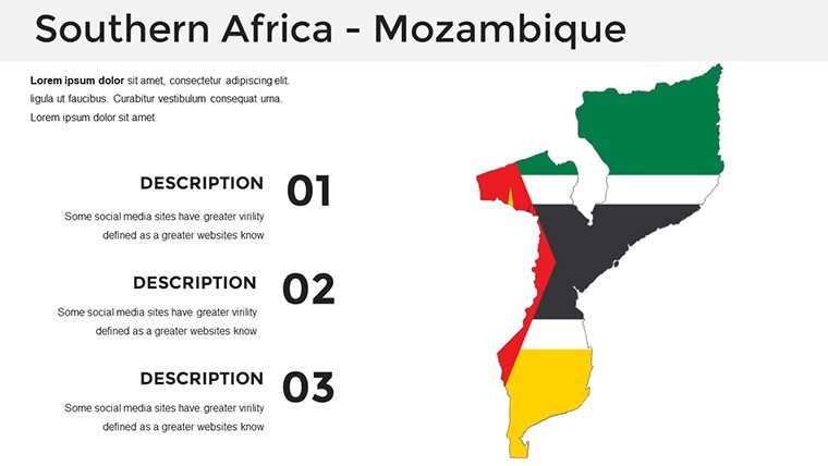
What types of South African regions are covered?
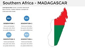
From national overviews to province-specific and city maps, including landmarks like Robben Island for comprehensive coverage.
Can I use this for commercial presentations?
Absolutely - royalty-free for business, education, and marketing uses, with no attribution required.
Does it include animation options?
Yes, custom animations for objects like map reveals and data pop-ups to keep presentations dynamic.
How many slides are included, and what's the file size?
39 editable slides in a lightweight .key file, optimized for quick loading and easy sharing.