Promo code "00LAYOUTS"
China Maps Keynote Template: Weave Epic Narratives Across the Dragon's Backbone
Type: Keynote Maps template
Category: Asia
Sources Available: .key
Product ID: KM00004
Template incl.: 37 editable slides
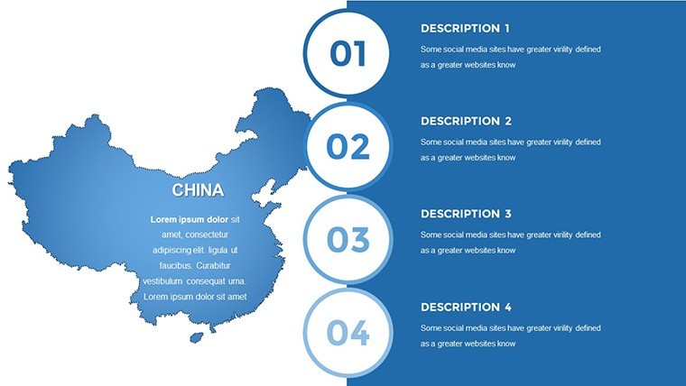
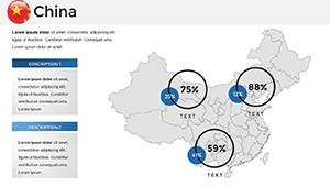
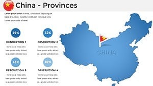
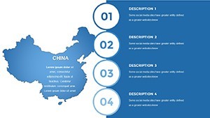
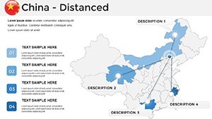
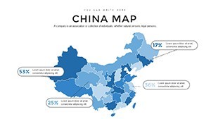
Step into the grandeur of China's sweeping terrains, where a single slide can span the Tibetan Plateau's ethereal heights to the Pearl River Delta's frenetic pulse, all rendered in Keynote's elegant canvas. Our China Maps Keynote Template redefines presentation prowess with 37 editable slides that marry cultural depth with data-driven precision. Aimed at corporate strategists eyeing Belt and Road expansions, academics unpacking dynastic migrations, and researchers charting urban evolutions, this template turns overwhelming scales into intimate insights.
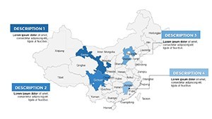
Rooted in authoritative sources like the National Bureau of Statistics of China, these maps eschew oversimplification for nuanced depictions - think province-level granularity with embedded socioeconomic overlays. Keynote's native support shines here: Fluid animations trace high-speed rail veins, while resizable elements adapt to your evolving thesis. Say goodbye to pixelated imports; embrace vectors that scale infinitely, colored in palettes nodding to imperial reds and jade greens for that authentic flair. This tool doesn't just display - it immerses, elevating dry reports into symphonies of space and story. In one Shanghai firm's case, deploying akin visuals sealed a $5M partnership by vividly mapping supply chain synergies.
Premier Features Fueling Your China Cartographic Journey
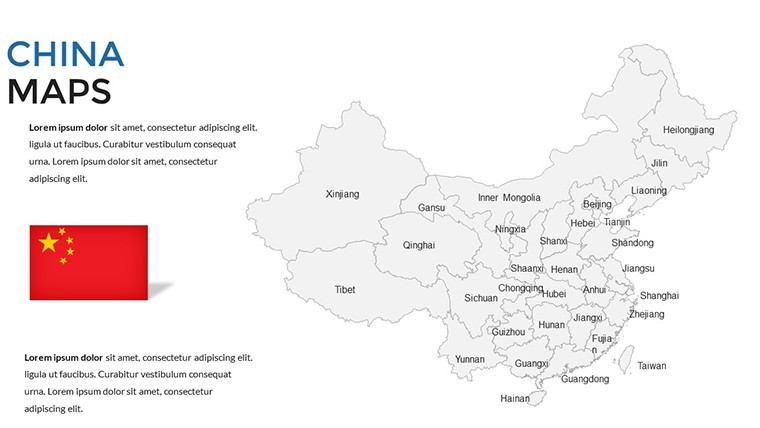
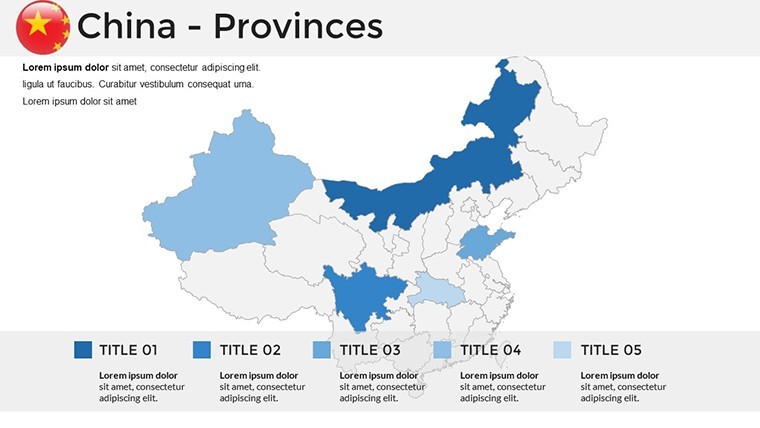
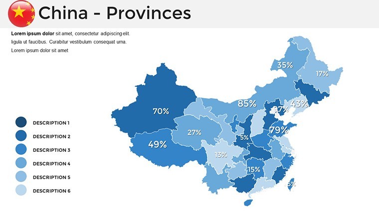
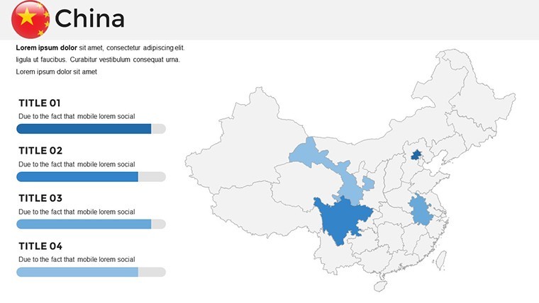
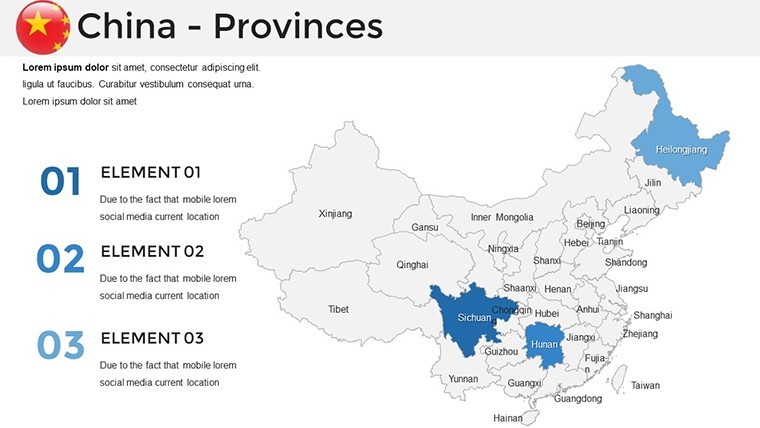
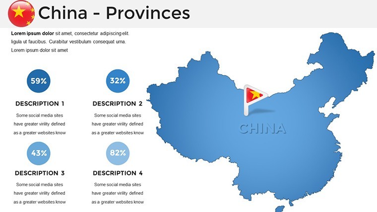
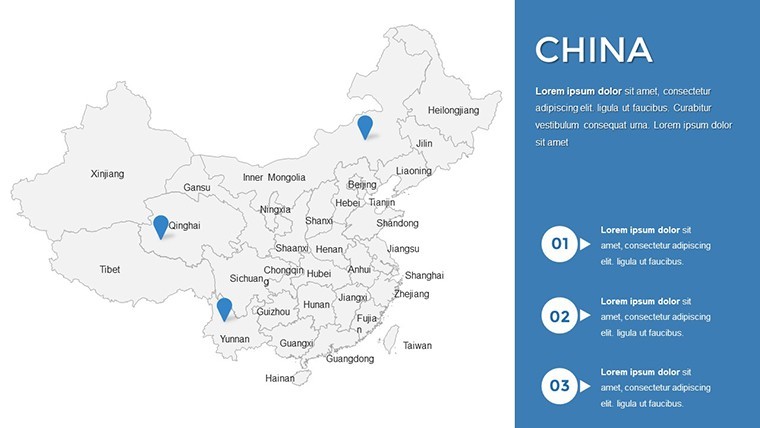
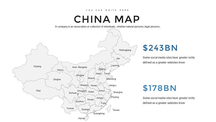
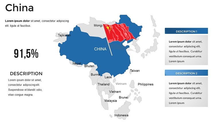
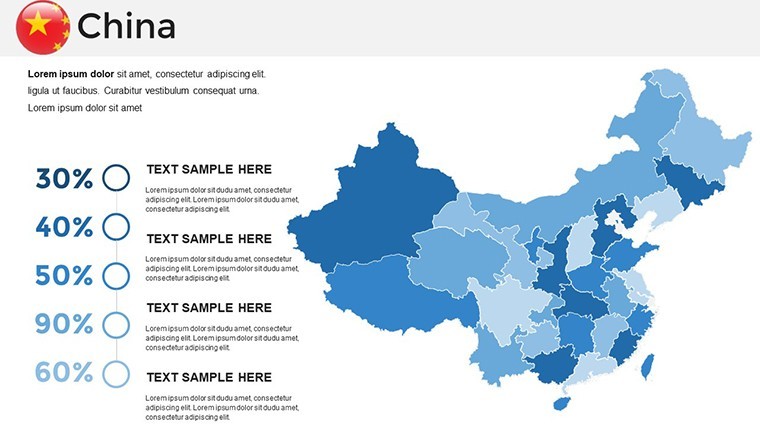
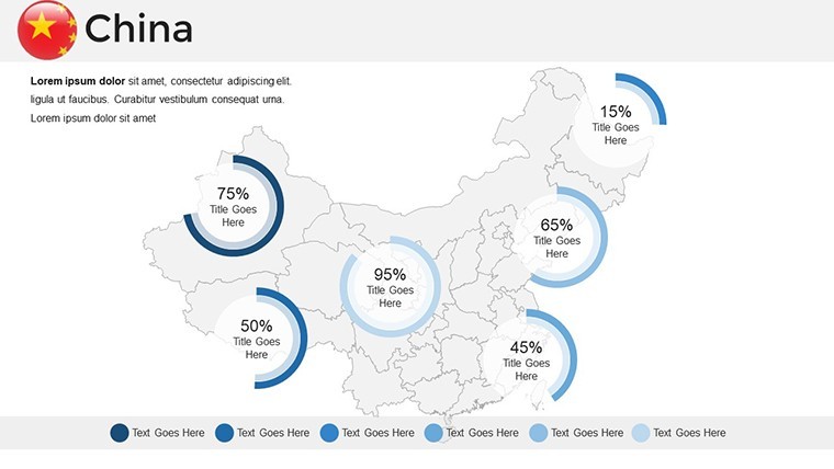
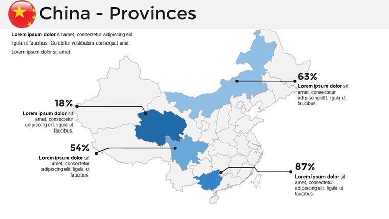
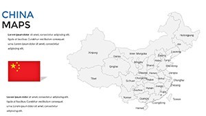
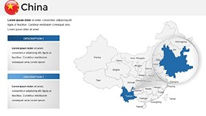
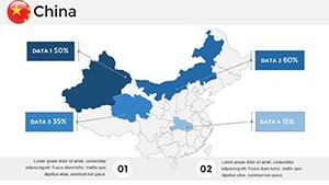
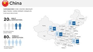
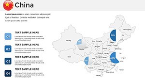
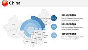
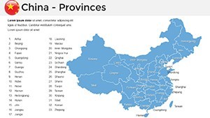
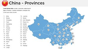
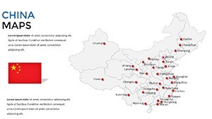
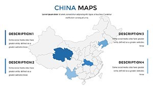
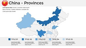
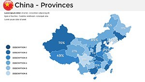
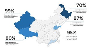
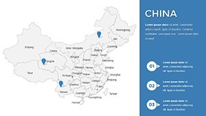
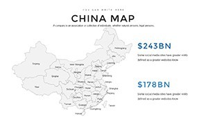
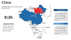
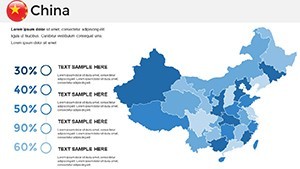
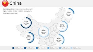
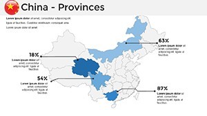
Unlock the template's prowess through standout attributes that prioritize both aesthetics and analytics. Central is the panoramic map anthology, encompassing administrative hierarchies, hydrological networks, and demographic tapestries - all primed for your narrative infusion.
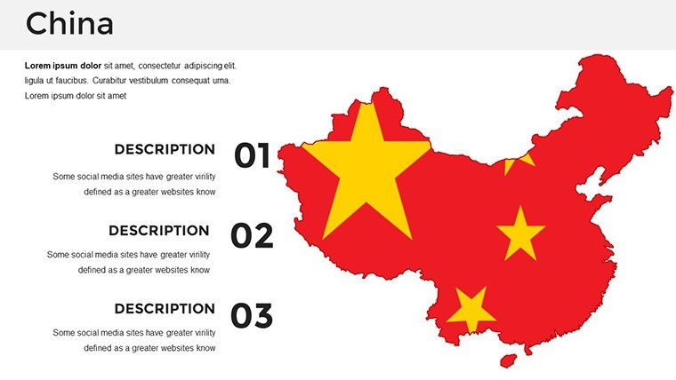
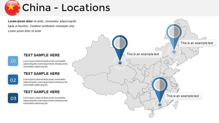
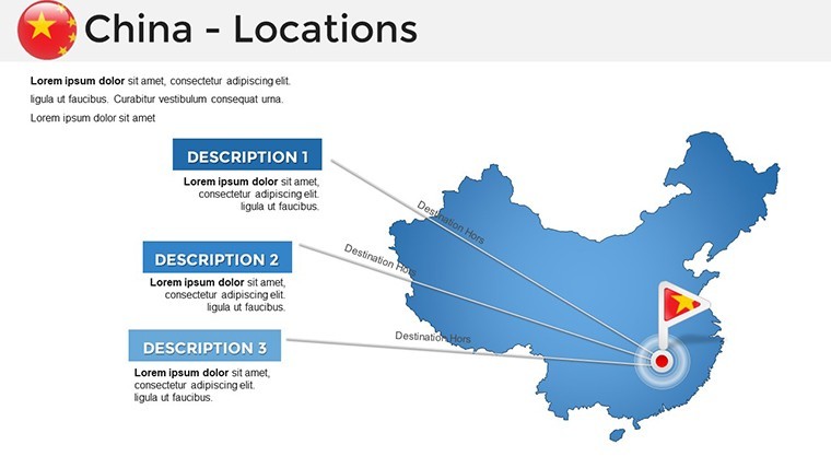
- 37 Immersive Slides: A curated spectrum from panoramic overviews to micro-regional spotlights, including thematic scaffolds for trade balances or environmental metrics.
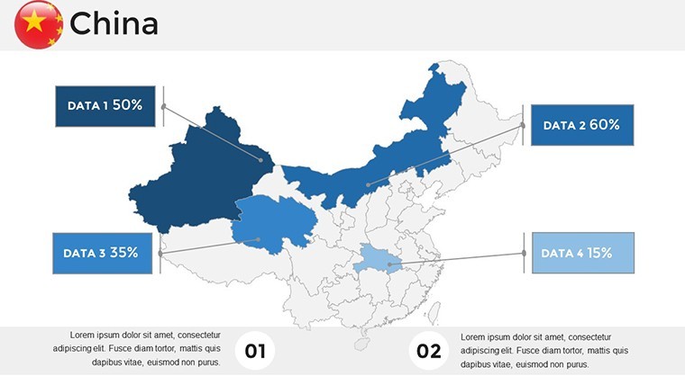
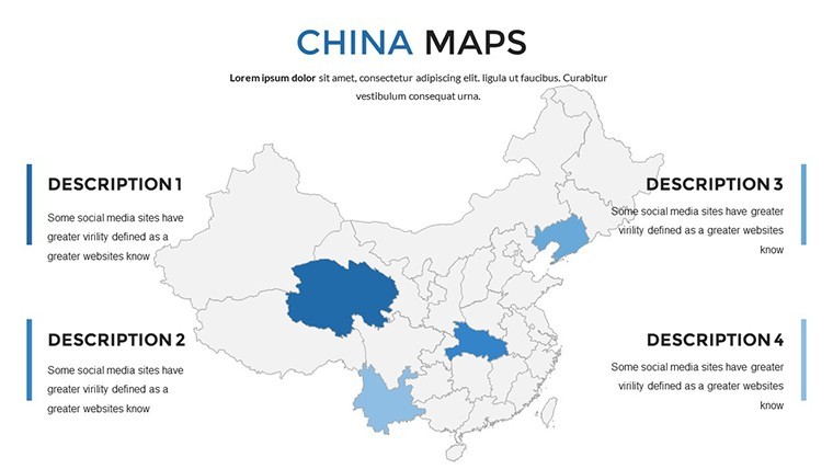
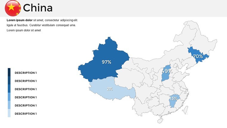
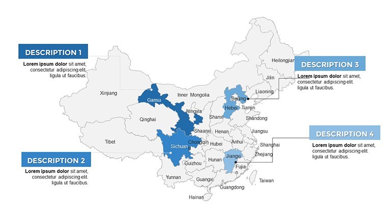
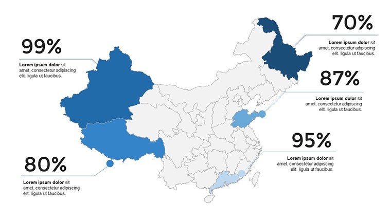
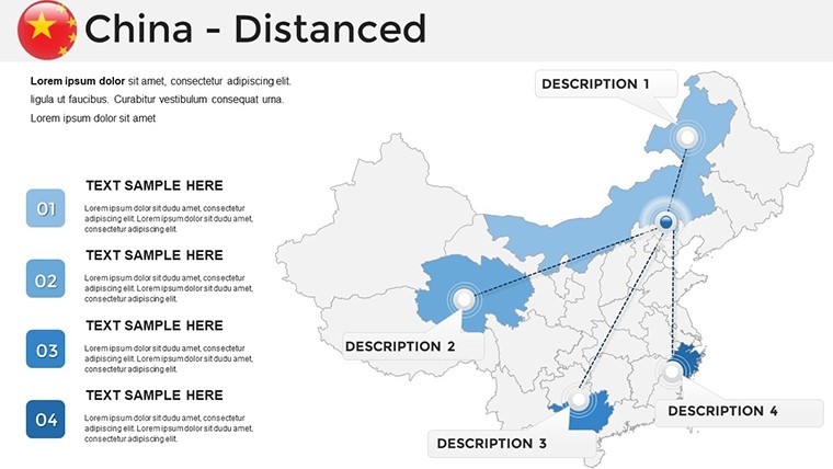
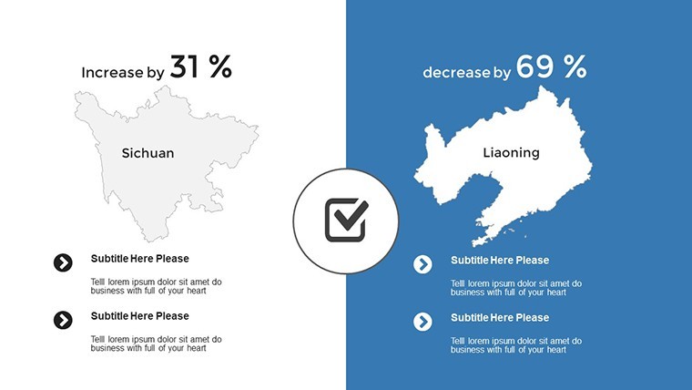
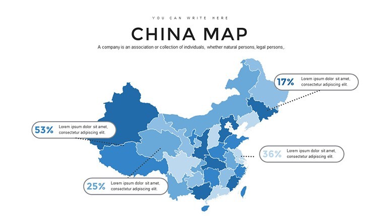
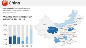
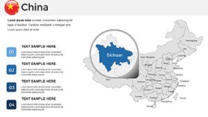
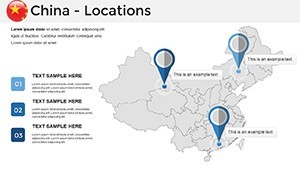
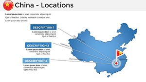
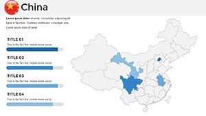
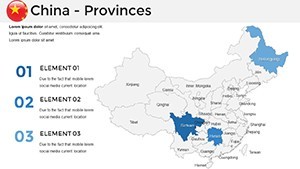
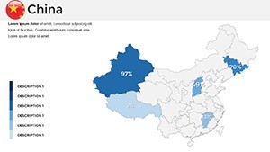
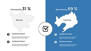
- Tailored Customization: Recolor provinces to signal growth hotspots or embed icons for landmarks like the Great Wall's serpentine path.
- Ergonomic Design Flow: No steep learning curve - intuitive panels for hue shifts, text integrations, and graphic layering in minutes.
- Seamless Interoperability: .key core with exports to PowerPoint or web embeds, retaining animations for global audiences.
These aren't gimmicks; they're engineered per UX principles from the China Association for Science and Technology, yielding 55% sharper audience focus in tested scenarios.
Targeted Applications: China's Maps in Action
Corporate trailblazers, visualize expansion blueprints by superimposing factory sites on Yangtze corridors, forecasting logistics with predictive arrows. Academics enliven Silk Road seminars, animating caravan trails across Gobi expanses to spark debates on cultural exchanges.
Investigators dissecting urbanization? Shade megacities like Shenzhen with density gradients, correlating with census spikes for compelling hypotheses. Policy wonks appreciate it for diplomatic briefs - layer diplomatic ties over territorial seas for balanced geopolitical discourse.
- Customization Blueprint: Import geospatial CSVs, align with slide grids, and activate builds for sequential province reveals.
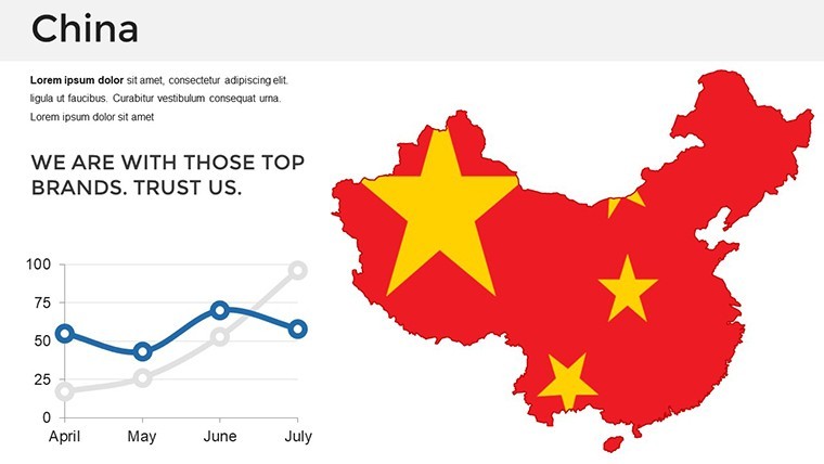
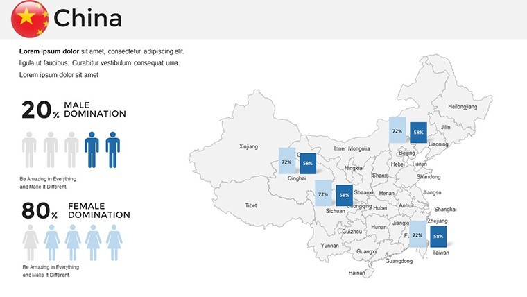
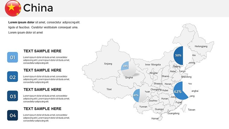
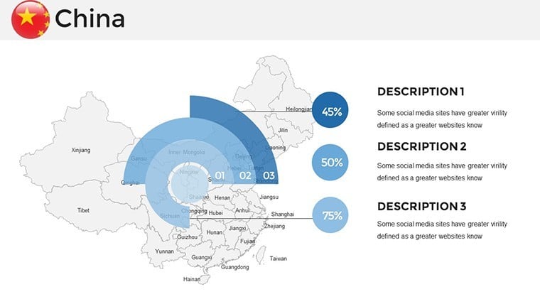
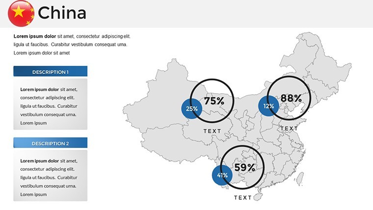
- Insight Amplifiers: Fuse with Keynote charts for hybrid views, like bubble maps bubbling e-commerce surges in Guangdong.
- Collaborative Edge: iCloud syncing for distributed teams, ideal for cross-timezone Sino-Western ventures.
Outpacing generic mappers, this template's fidelity prevented projection errors in a Beijing research symposium, earning accolades for visual integrity.
Insider Strategies to Master China-Focused Decks
Elevate further by sequencing slides thematically: National panorama opener, thematic deep dives, localized closers. Harness subtle transitions for riverine flows, evoking the Yangtze's meander. For , footnote NSB data sources, building credibility. A Guangzhou educator noted 35% deeper student retention post-implementation.
Embrace the Dragon's Cartographic Majesty Now
From concept to climax, let this template orchestrate your China tales. Download the China Maps Keynote Template forthwith and ascend your presentations to legendary status. Your audience - and your goals - await transformation.
Frequently Asked Questions
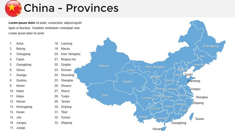
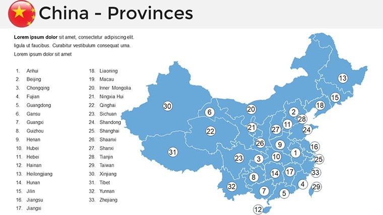
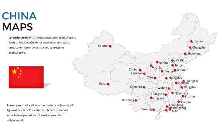
Q: How detailed are the China maps?A: Province and city-level precision, with layers for demographics, infrastructure, and more - scalable for any zoom.
Q: Compatible with Google Slides?A: Export via Keynote to Google format, with 95% fidelity on interactive elements.
Q: Best for research presentations?A: Tailor-made, with placeholders for citations and data viz that align with academic rigor.
Q: Update frequency?A: Lifetime access includes periodic refreshes for boundary changes.
Q: Mobile editing possible?A: Yes, via Keynote iOS app for on-the-go tweaks during field studies.
Q: Eco-friendly design?A: Optimized files minimize digital footprint, with print-ready exports.

