Maps of World Keynote Presentation: Global Insights at Your Fingertips


Type: Keynote Maps template
Category: World
Sources Available: .key
Product ID: KM00002
Template incl.: 24 editable slides
Envision a sales pitch where world markets unfold like a digital atlas, drawing your audience into a journey across continents. The Maps of World Keynote template empowers presenters to deliver high-impact global narratives with 24 meticulously designed, editable slides. Tailored for international business leaders, geopolitical analysts, or global educators, this template transforms complex worldwide data into visually stunning stories that resonate far beyond borders.
Compatible with the latest Apple Keynote versions, it features a suite of interactive elements, from animated continent outlines to data-rich infographics. No more wrestling with outdated clipart - our professional-grade maps are fully customizable, supporting everything from trade route visualizations to climate change overviews. This isn't just a template; it's a toolkit for fostering understanding in a interconnected world, saving you countless hours while boosting your presentation's professionalism.
Explore the Versatility of Global Map Designs
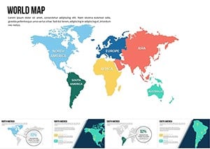
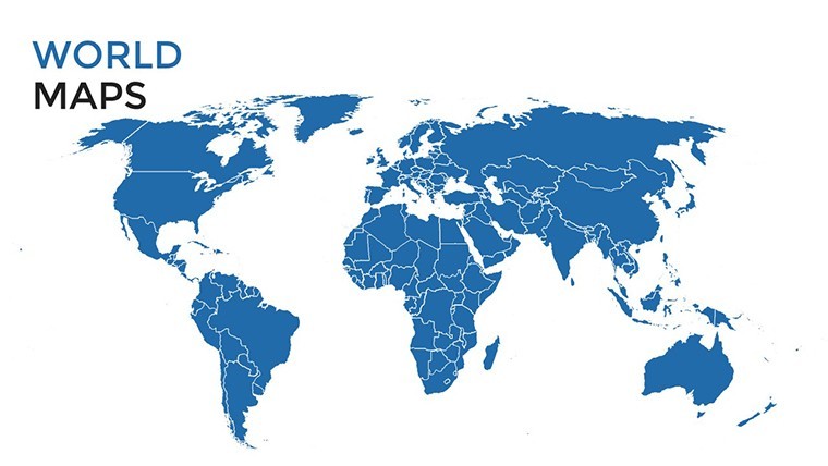
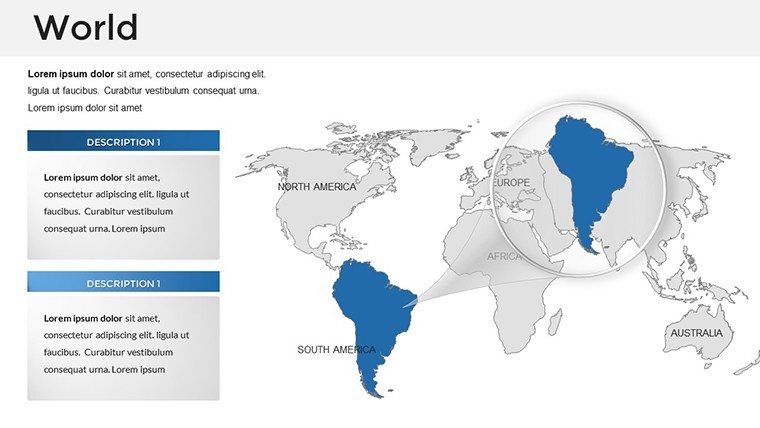
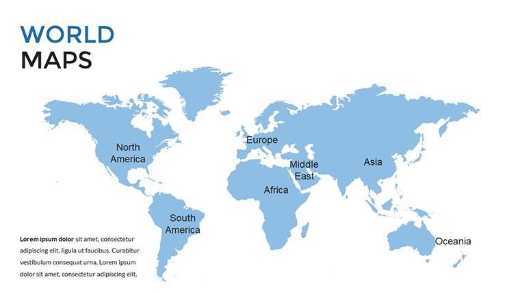
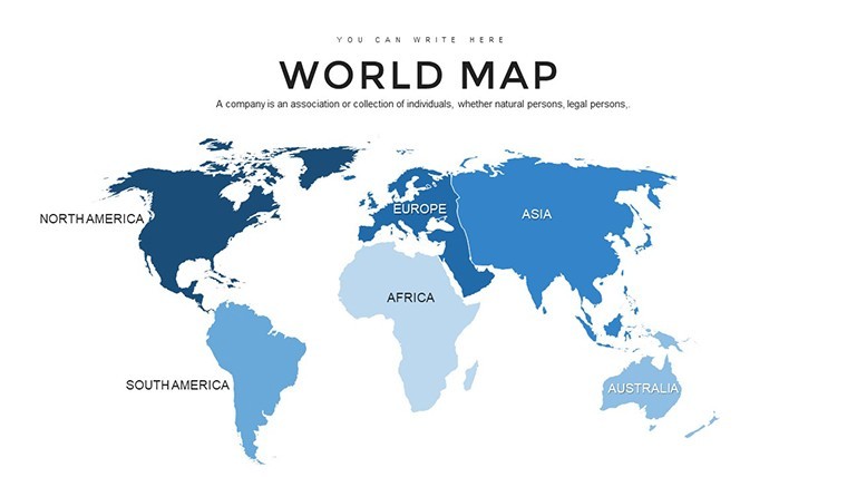
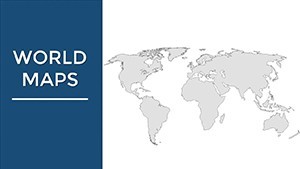
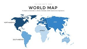
At its core, this template offers diversity in design to match any global theme. The 24 slides include continent-specific maps, world projections (like Mercator and Robinson), and thematic overlays for demographics or economics. Each is built with scalability in mind, ensuring clarity whether projecting on a large screen or sharing via Zoom.
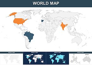
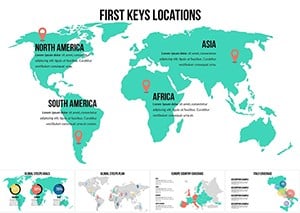
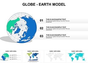
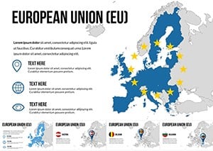
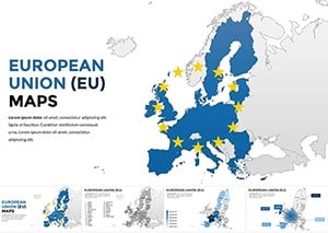
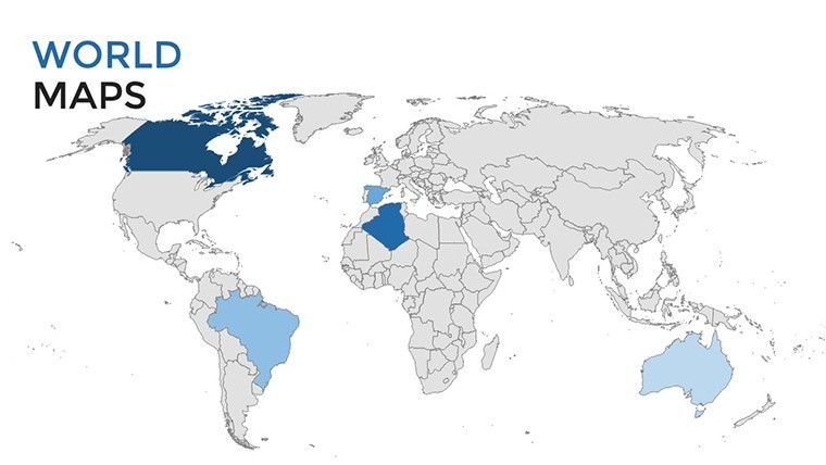
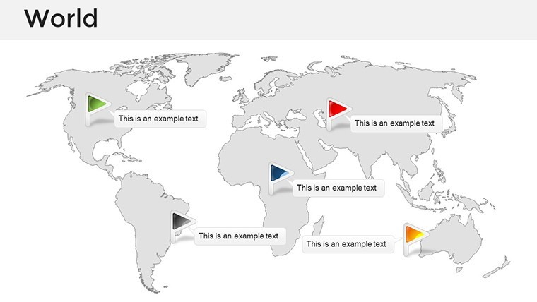
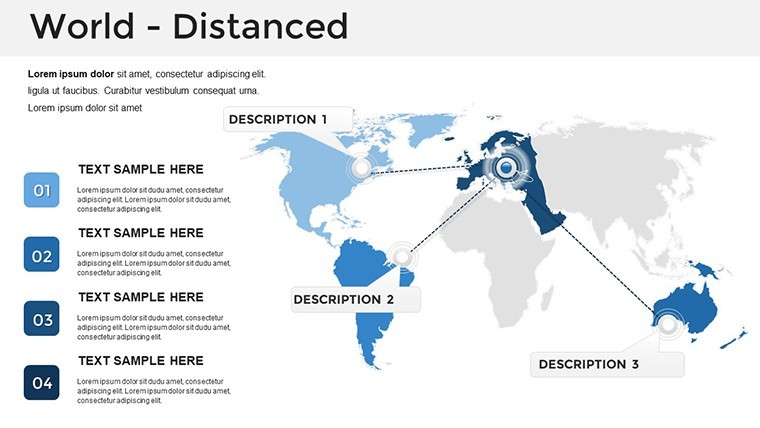
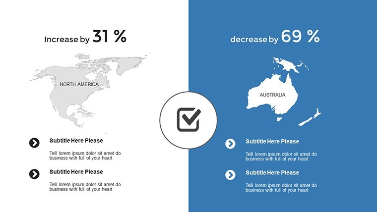
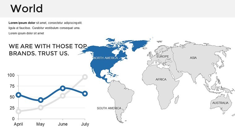
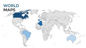
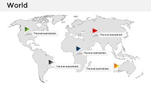
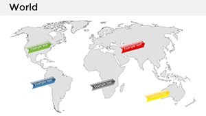
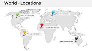
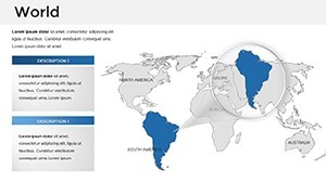
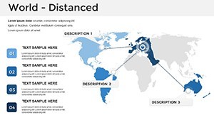
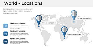
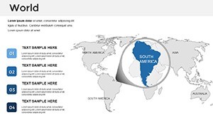
- Continental Maps: Zoom into regions like Asia or Africa, perfect for multinational corporations tracking supply chains, akin to how Unilever maps sustainable sourcing.
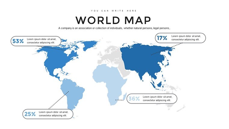
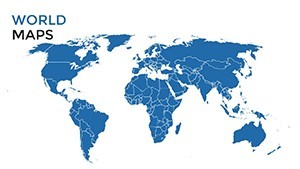
- World Projections: Distortion-free views for equitable representations, useful in UN-style discussions on global equity.
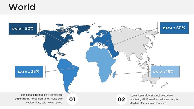
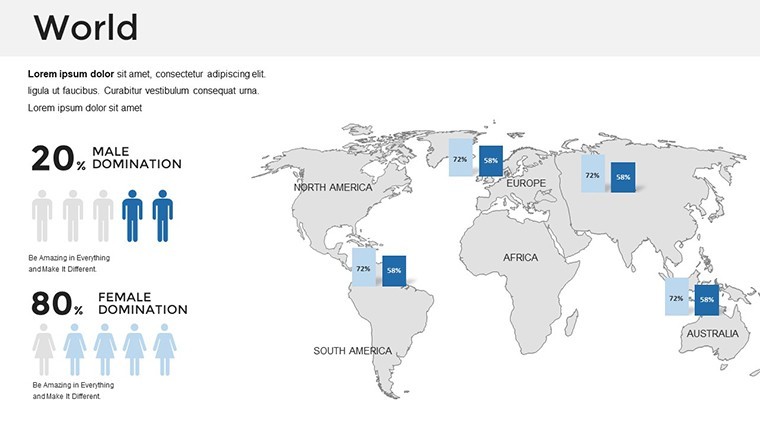
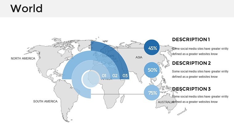
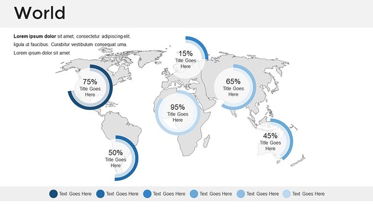
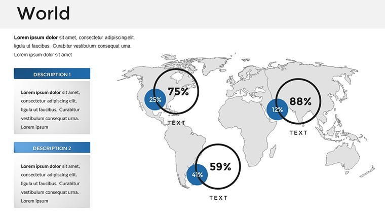
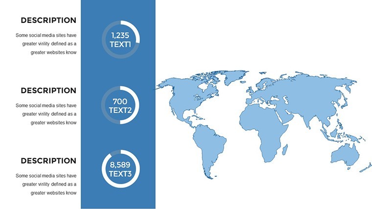
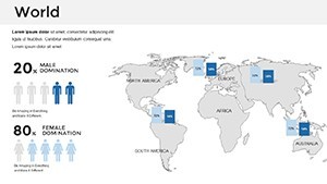
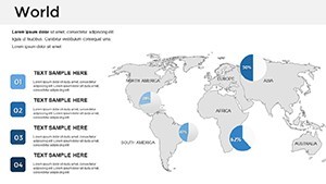
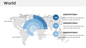
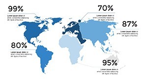
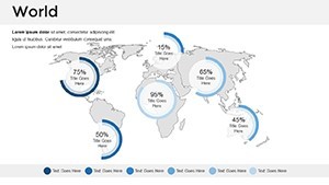
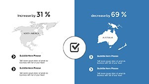
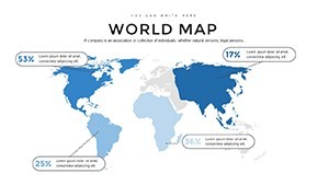
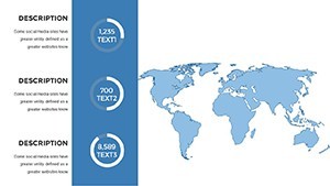
- Thematic Infographics: Layer population densities or GDP stats, enabling quick insights for investors eyeing emerging markets.
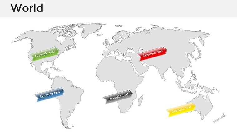
Customization shines through Keynote's native tools: Recolor oceans to brand hues, add pins for key events, or embed charts that sync with map scales. The included animation presets bring the world to life - watch countries "emerge" sequentially to emphasize priorities.
Practical Use Cases: Bridging Global Gaps
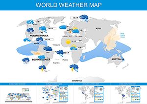
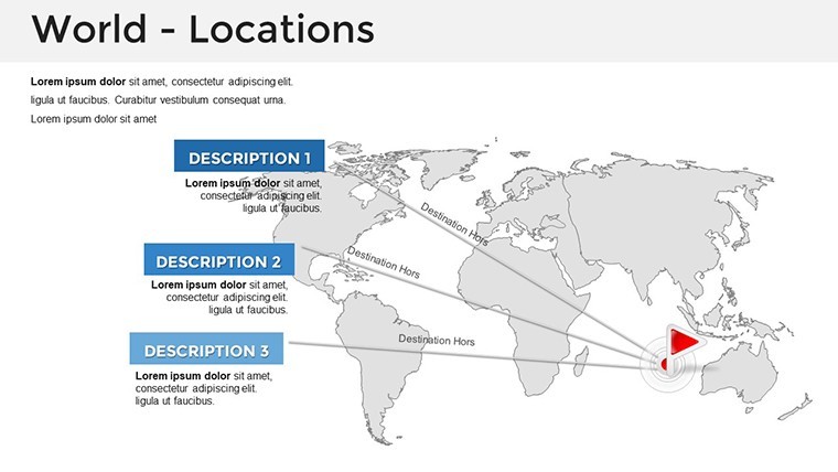
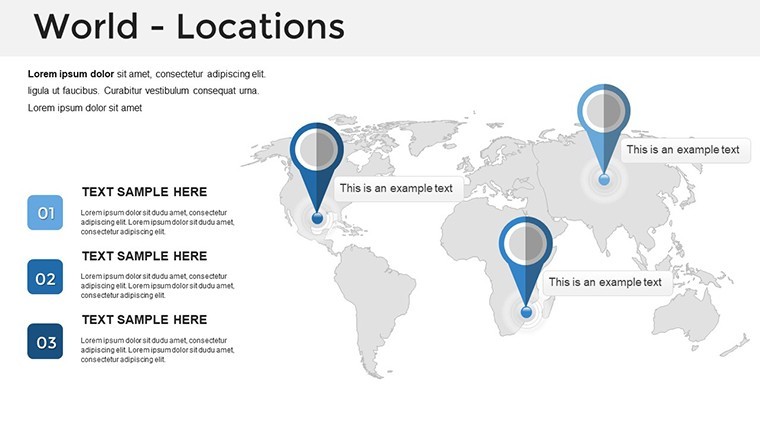
Think of a NGO coordinator using these slides to illustrate refugee movements across the Middle East and Europe, overlaying real-time data from UNHCR reports for empathetic storytelling. In the classroom, teachers can adapt world maps for history lessons on colonialism, with editable timelines that engage Gen Z learners visually.
Drawing from presentation gurus like Nancy Duarte, this template prioritizes audience flow: Start broad with a world overview, then drill down to specifics. It outperforms basic templates by incorporating LSI elements like interactive hotspots, which link to supplementary slides for deeper dives - ideal for lengthy conferences.
Streamline Your Presentation Process
Workflow is intuitive: Unzip the .key file, launch Keynote, and edit away. Master layouts maintain thematic consistency, while drag-and-drop infographics speed up content addition. For tech-savvy users, integrate with Apple Maps API for live updates, though the offline vectors ensure reliability in any setting.
- Gather your global data: Import from Excel or CSV for seamless chart integration.
- Refine visuals: Adjust projections for your focus area, like emphasizing the Pacific Rim for trade talks.
- Animate and rehearse: Use build effects to reveal insights progressively, testing on multiple devices.
Users report a 60% reduction in design time compared to DIY approaches, freeing focus for content strategy. It's versatile for hybrid events, exporting flawlessly to video formats for asynchronous sharing.
Expert Tips to Maximize Global Appeal
To amplify impact, combine maps with icons from our world-themed library - flights for travel routes or globes for interconnectedness. Limit data points to 3-5 per slide for cognitive ease, per Nielsen Norman Group usability studies. For inclusivity, opt for color-blind friendly palettes, broadening your reach in diverse audiences.
Global firms like Google have leveraged similar visuals for keynote addresses; now you can too, whether outlining expansion into Latin America or educating on sustainable development goals.
Elevate Your Narrative on the World Stage
As globalization accelerates, presentations that convey worldwide scope are essential. This template's high-fidelity designs and update-friendly structure position you as a forward-thinking communicator. From TEDx stages to corporate summits, it's the edge you need.
Seize the opportunity to globalize your message. Grab the Maps of World Keynote template now and connect with audiences across the planet.
Frequently Asked Questions
Are the maps interactive in Keynote?
Yes, with hyperlinks and animations, you can create clickable regions that navigate to detailed sub-slides.
What industries benefit most from this template?
Business, education, and nonprofits - anyone dealing with international data, from trade analysts to global historians.
Can I resize maps without losing quality?
Absolutely, vector graphics ensure scalability for any resolution, from iPhone previews to 4K projectors.
How compatible is it with older Keynote versions?
Optimized for recent versions, but core elements work back to 6.0 with minor adjustments.
Does it include data visualization tools?
Yes, built-in charts and graphs integrate directly onto maps for hybrid info displays.
Is commercial use allowed?
Full commercial rights included, no royalties for business or educational applications.