 Click to zoom
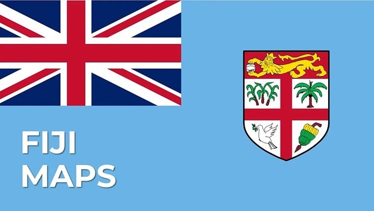
Fiji Islands Keynote Map Template - Instant Download
| Format | .pptx |
| Slides | 29 unique layouts |
| Aspect ratio | 16:9 |
| Compatibility | PowerPoint |
| Animated | 否 |
| Language | English |
| License | Commercial |
| File size | — |
| Version | v1.0 |
| Last updated | March 2026 |
What's inside
What is a Keynote map template? A Keynote map template is a pre-built .key file containing editable geographic shapes, region labels, and infographic placeholder frames that open directly in Apple Keynote - ready to customize without geographic data conversion or design software.
29 Slides Across Island Regions: Full Contents
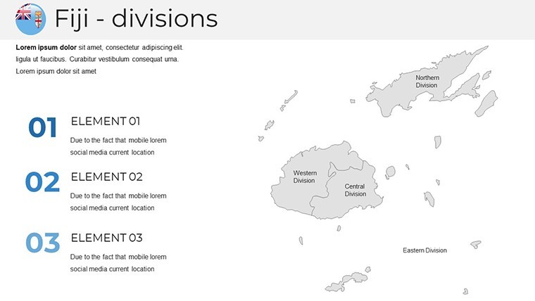
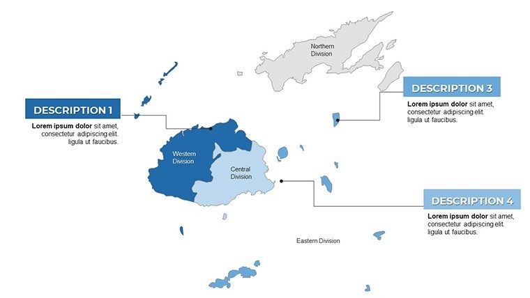
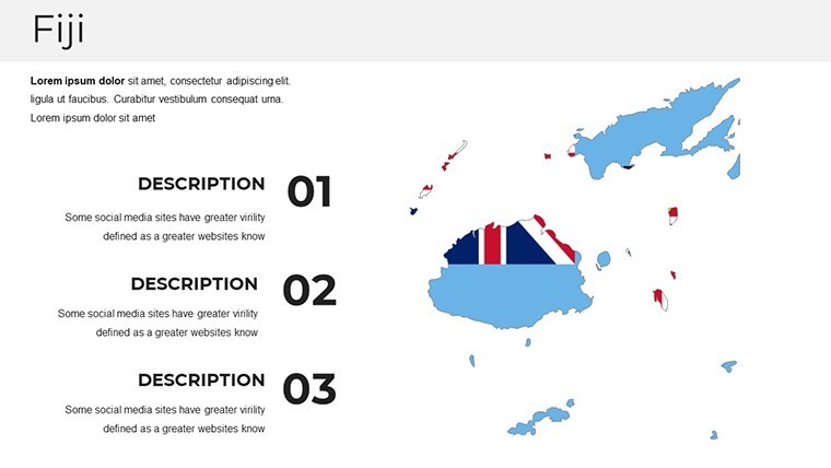
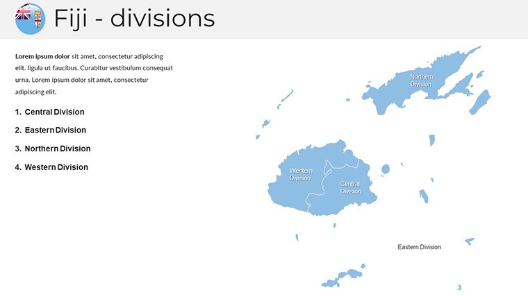
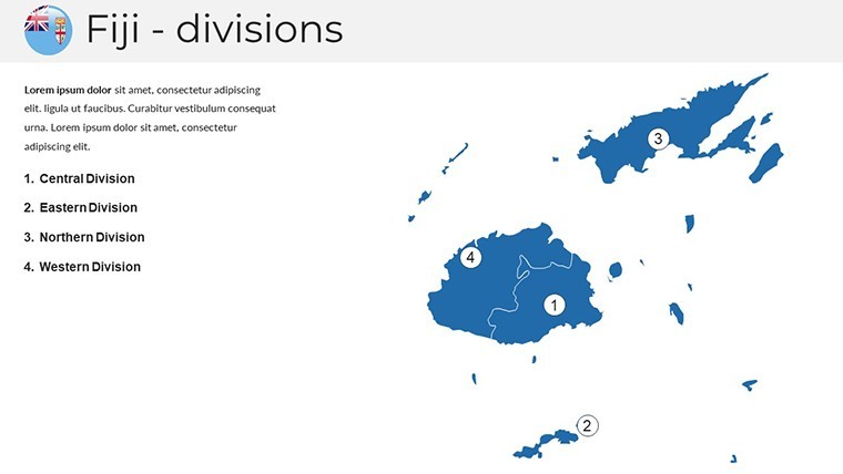
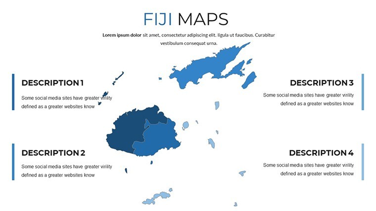
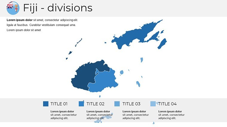
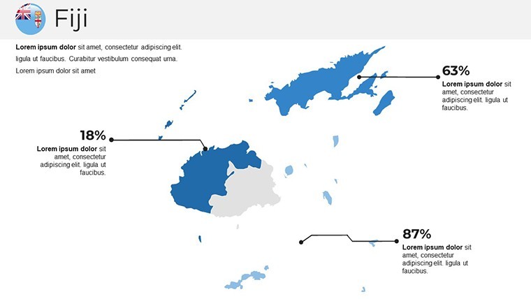
29 editable slides covering Fiji's archipelago geography across multiple map types. The download is a single .key file at standard 16:9 widescreen dimensions. Slide coverage spans the full national territory - both Viti Levu and Vanua Levu as primary islands - alongside provincial-level breakdowns, surrounding ocean context, and thematic overlay versions with callout placeholder frames for data annotation.
The island-specific layouts address a practical challenge unique to Pacific nation presentations: Fiji's territory is distributed across more than 300 islands scattered across a wide ocean area, which means a single-frame overview requires careful scale decisions to remain legible. The slides handle this through a combination of inset detail maps for primary islands and wider-frame overviews that show the full archipelago extent with consistent label placement.
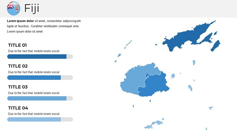
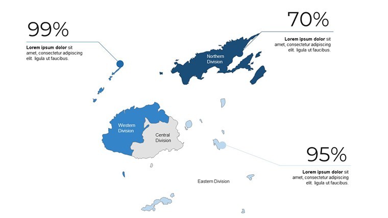
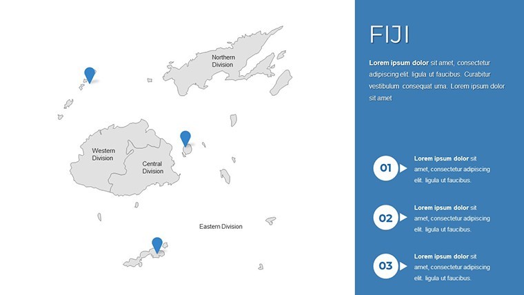
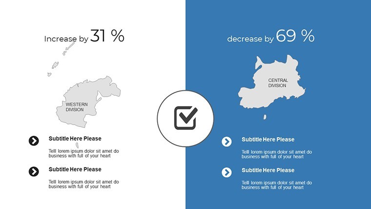
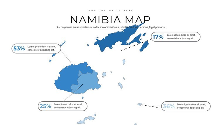
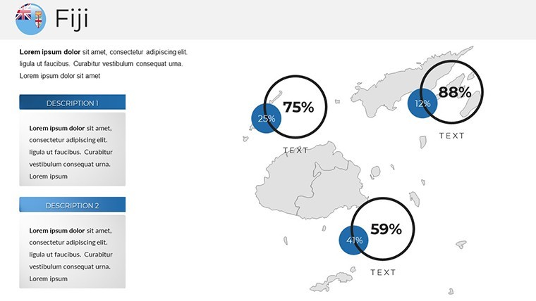
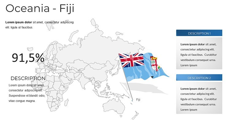
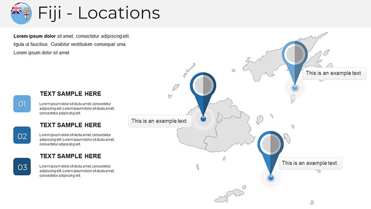
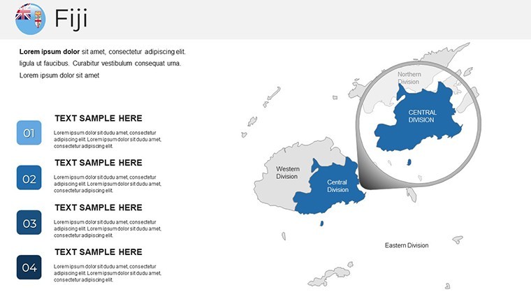
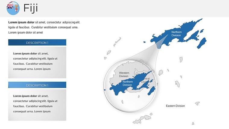
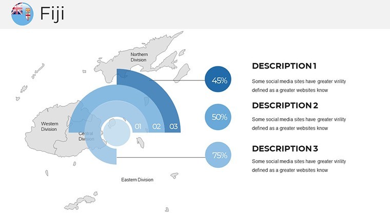
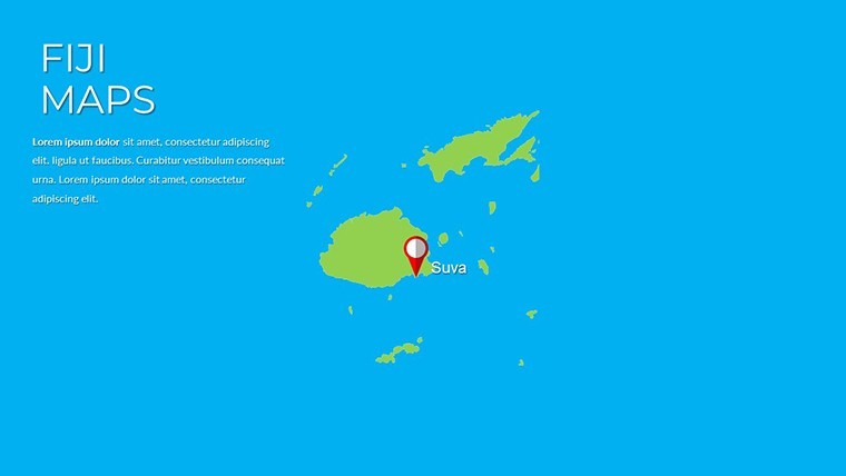
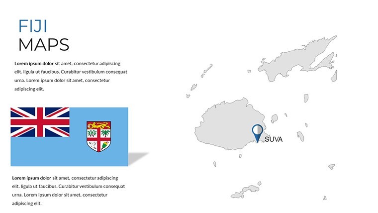
Compared with broader Oceania or Asia-Pacific sets that represent Fiji as a small cluster within a continent-scale view, these 29 slides give the archipelago full-frame treatment. Province labels, key city markers for Suva, Nadi, and Lautoka, and island-group indicators are all pre-positioned - a level of regional specificity that sets this apart from single-frame island placeholders in multi-country Pacific collections.
Key Specifications At a Glance
FeatureDetailsSlides included29 editable map slidesFile format.key - native Apple KeynoteKeynote compatibilityKeynote 12 and later (macOS Monterey or newer)Geographic coverageFull archipelago, primary islands (Viti Levu, Vanua Levu), provincial divisions, surrounding ocean zoneShape editabilityIsland and province shapes are independent vector objects - recolor without affecting adjacent elementsText placeholdersCity labels, province names, and callout boxes editable directlyAspect ratio16:9 widescreenExport options.key for editing; PDF or PNG for reports and distributionThree Situations Where This Pays Off
A regional tourism development manager at a Pacific hospitality group preparing for an investor strategy session used the full-archipelago overview slides to map resort cluster locations against proposed infrastructure projects. Recoloring island groups by investment tier and updating callout labels took under 45 minutes - compared with the half-day typically spent assembling a custom Fiji map in a generic Keynote layout from scratch.
An environmental NGO communications officer presenting coral reef conservation zones to international donors used the province-level slides as base maps, overlaying protection boundary shapes on top of the pre-built island geography. The accurate coastline detail in the vector shapes meant no manual correction was needed - a step that adds significant time when working from imprecise rasterized base maps.
Business development consultants advising on market entry into Fiji's retail and distribution sector use the urban area slides to show population concentration relative to logistics infrastructure, adapting the same file across multiple client proposals by duplicating slides and changing only the data overlay layer.
Download and start editing immediately - all island shapes are ready for your content.
Edit, Brand, Present: The Workflow
Editing difficulty: Beginner. Island shapes, province outlines, and text placeholders all behave as standard Keynote objects.
- Step 1 - Open the .key file in Keynote 12 or later (1 minute)
- Step 2 - Select the map slide type needed: full archipelago, primary island detail, provincial breakdown, or thematic overlay (1 minute)
- Step 3 - Apply brand colors via the master slide palette; island and region fills inherit the change (3 minutes)
- Step 4 - Update city labels, province names, and any callout text with project-specific content (5 minutes)
- Step 5 - Add data overlay shapes or icons using Keynote's shape library positioned over geographic areas (4 minutes)
- Step 6 - Export as .key for a collaborative working file or PDF for a finished report (1 minute)
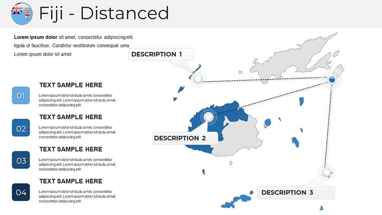
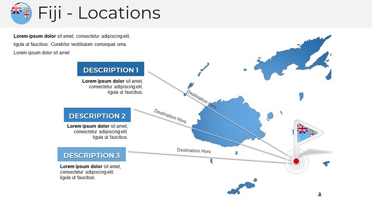
One design note on island map labeling: placing city or province labels directly inside small island shapes creates readability problems at standard conference room projection distances. The label placements in these slides position text outside the island shapes with thin connecting lines - maintaining legibility on a projected screen without enlarging font sizes to the point where they compete with the map geometry.
For presentations requiring broader Pacific regional context, the Australia Keynote Maps category contains complementary coverage of Oceania and neighboring territories that use the same file format. A natural companion for back-to-back regional slides is the Vanuatu Keynote Maps set, which covers the neighboring Melanesian archipelago at the same level of island-group detail. For a wider Pacific sweep, the Solomon Islands Keynote Maps set follows identical formatting conventions and can be merged into the same deck without reformatting.
What You'd Need to Replicate This Yourself
Building an accurate Fiji archipelago map in Keynote from raw materials requires sourcing vector island outlines - typically from a GIS data provider or geographic database - converting them to a Keynote-compatible format, verifying that all 29 slides worth of coverage is accounted for across multiple island groups, and then constructing text placeholder and callout layers for each layout type. For a designer familiar with this process, minimum build time runs between three and five hours. Without GIS experience, the conversion step alone presents a significant barrier.
A specific challenge with archipelago maps is scale consistency across the slide set. When the same presentation needs a full-archipelago overview alongside a Viti Levu detail view, maintaining consistent label sizes and shape stroke weights across both scales requires careful layer management. The slides in this file handle that through a coordinated visual system - stroke weight, label offset distance, and callout style are consistent across all 29 slides regardless of zoom level, so mixing overview and detail slides in the same deck produces a visually coherent result.
Download and start editing immediately.
Which Keynote version is required to open this file?The .key file is fully compatible with Keynote 12 and all later versions on macOS and iPadOS. Keynote 12 was introduced with macOS Monterey in 2021, so any Mac currently running Monterey, Ventura, or Sonoma will open the file without issues. On iPad, Keynote 12 for iPadOS is required and is available as a free update through the App Store. If you are running an older Keynote version, the island shapes may render with minor differences in fill or stroke - updating Keynote to version 12 before opening is the most reliable approach. iCloud Keynote in a web browser can display the file but does not fully support the vector shape editing that island-level customization requires.
How do I recolor individual islands or provinces?Click directly on an island or province shape in Keynote to select it. Open the Format panel on the right side of the screen and navigate to the Style tab. Under Fill, change the color using the color picker or enter a hex value for brand-precise color matching. If multiple island shapes need the same color, hold Shift and click each shape to select them simultaneously, then apply the fill once. For a systematic rebrand across all slides, editing the fill colors at the master slide level via View > Edit Master Slides will push changes to all map slides using that master simultaneously, which is significantly faster than editing shapes slide by slide.
Is commercial use in client presentations permitted?The standard ImagineLayout license covers personal and internal business use. Including these slides in a presentation delivered to a paying client - such as a consulting report or a client strategy deck - may constitute commercial use depending on how the license tier is defined. Reviewing the specific terms at imaginelayout.com/terms before using the file in a client-billable context is recommended. Reselling the .key file itself, distributing it as a standalone download, or sublicensing it to any third party is not permitted under any license tier. When in doubt about a specific use case, ImagineLayout's support team can confirm whether the intended use is covered.
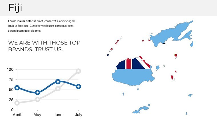
Can I add my own data overlays to the island maps?Adding data overlays is straightforward in Keynote. For point data - marking hotel locations, port facilities, or conservation zones - use Insert > Shape to place markers, then drag them onto the correct geographic position on the map layer. For area overlays - shading a specific island group or coastal zone - draw a custom polygon shape over the relevant area, set its fill to a semi-transparent color, and send it to the back of the layer order so the underlying map labels remain visible. Keynote's Arrange panel controls layer order. For tabular data such as tourism revenue or population figures, the infographic callout placeholders already included in the thematic overlay slides accept direct text entry without any repositioning.
What is the refund policy if the file has a technical problem?ImagineLayout accepts refund requests when the delivered file is non-functional on a supported version of Keynote or when the contents do not match the product listing - in this case, 29 editable Fiji map slides in .key format. Because the download is a digital file available immediately after purchase, refunds for preference-based reasons after accessing the file are not covered. If the file fails to open in Keynote 12 or later, or if slides are missing or corrupted, contacting support with the order confirmation and a description of the technical issue is the first step. Full policy details are at imaginelayout.com/refund-policy.
Good for
- Project roadmaps and sprint plans
- Product launch timelines
- Quarterly or annual review decks
- Company history and milestone summaries
Licence
reviews
Not my favorite, the slide structure felt a bit messy but it's free so whatever.
Perfect for my team's Q3 review, especially the comparison charts section.
A bit too basic for what I needed, ended up modifying most of it.
The map graphics look nice but they're not very accurate for smaller regions.
Downloaded this, dropped in my data, and the pie charts updated easily.
FAQ
Will it work in Google Slides?
Are fonts embedded?
Can I use this for client work?
What's the refund policy?
Do you update the template after purchase?
Similar templates
See all Keynote Maps →
All 29 slides