New Caledonia Keynote Maps: Designing for Island Innovation


Type: Keynote Maps template
Category: Australia
Sources Available: .key
Product ID: KM00230
Template incl.: 24 editable slides
New Caledonia's lagoon UNESCO World Heritage status and unique biodiversity make it a hotspot for visionary architecture, from lagoon-spanning eco-bridges to nickel mine reclamations. The New Caledonia Keynote Maps Template, with its 24 editable slides, equips architects and landscape designers to illuminate these opportunities. This tool transforms abstract plans into tangible visuals, ideal for pitching regenerative projects that harmonize with the territory's French-Pacific heritage.
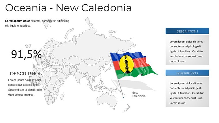
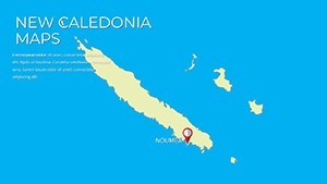
Inspired by principles, the template incorporates accurate geospatial data aligned with French urban planning norms (e.g., PLU standards), allowing seamless overlays of zoning, flora distributions, and infrastructure grids. Its compatibility extends to PowerPoint and Google Slides, facilitating global collaborations without format woes. For firms eyeing sustainable tourism developments, like those in Nouméa, this template has been a game-changer, enabling precise depictions of site-specific adaptations to cyclones and sea rise.
Picture presenting a master plan for Grande Terre: Use the template's vector maps to animate vegetation buffers around new builds, demonstrating compliance with EU environmental directives. Such applications have featured in award-winning submissions to the AIA's international chapter, where map clarity underscored innovative material choices like bio-based composites.
Essential Features for Precision Mapping
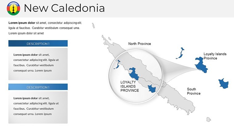
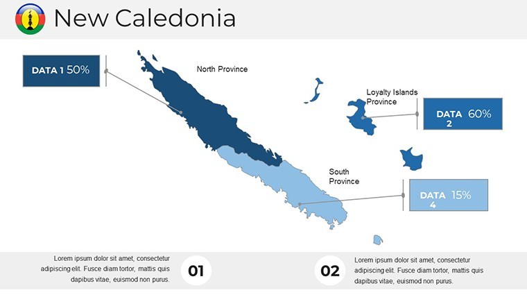
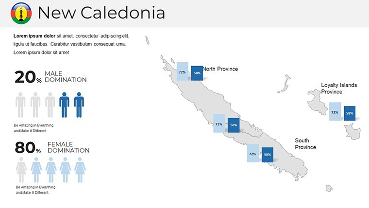
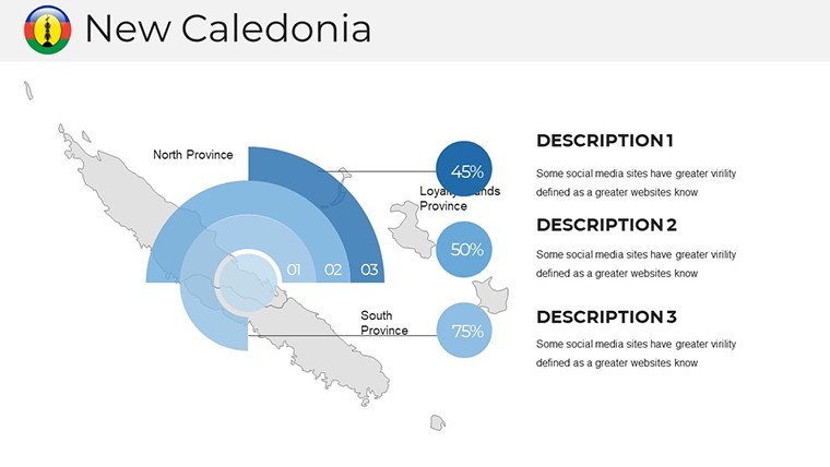
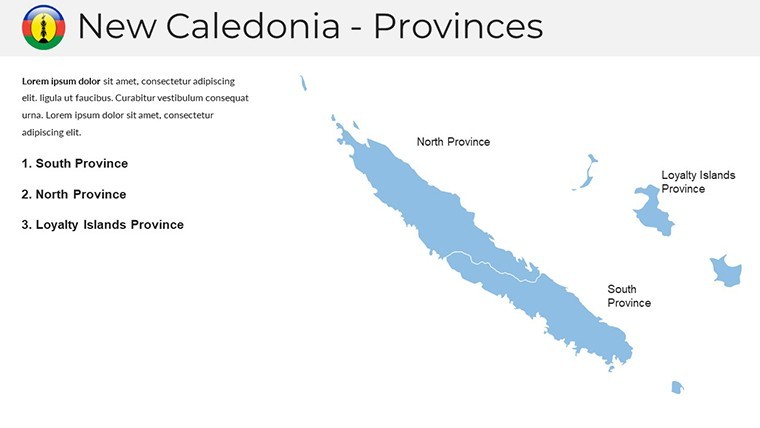
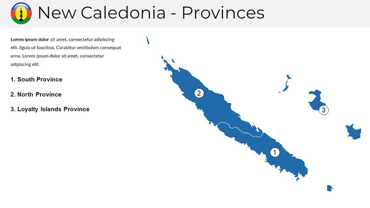
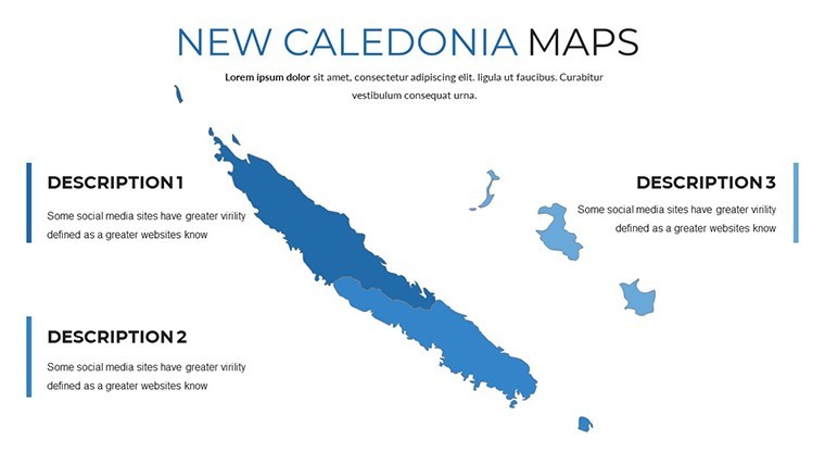
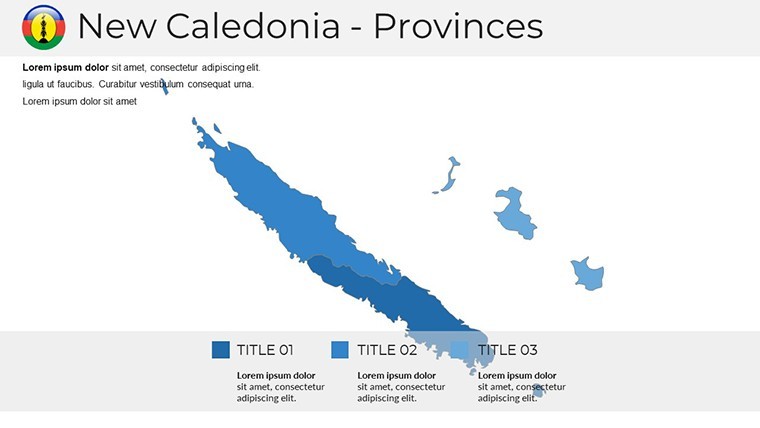
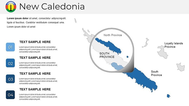
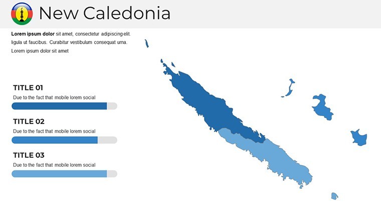
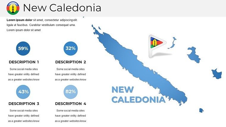
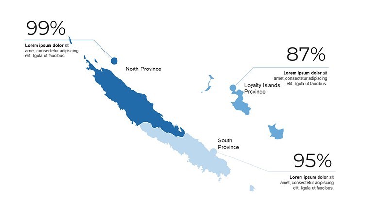
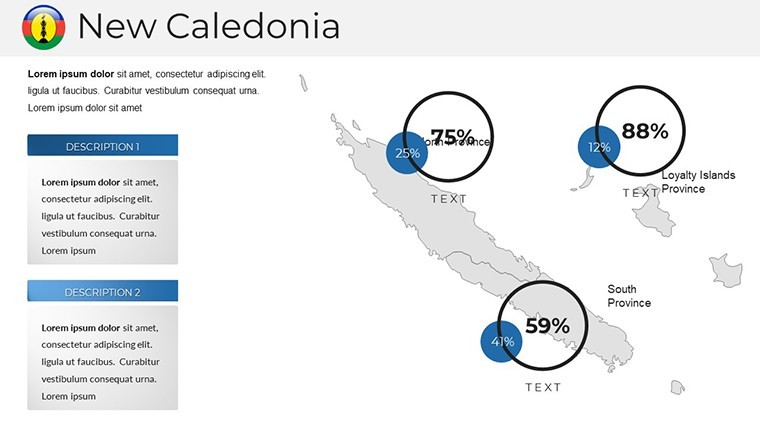
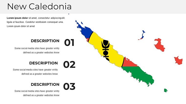
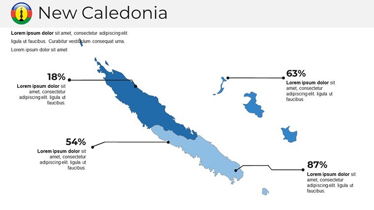
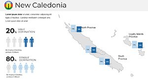
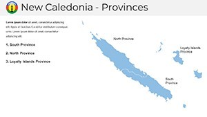
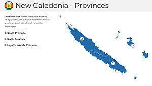
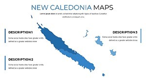
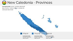
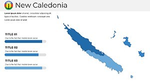
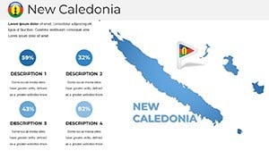
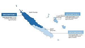
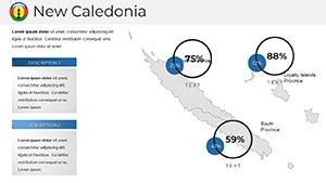
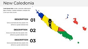
Engineered for depth, the template's features cater to the nuances of island architecture. The vector-symbol enriched maps detail New Caledonia's main island and loyalties with scalable elements, from coral reefs to mining zones.
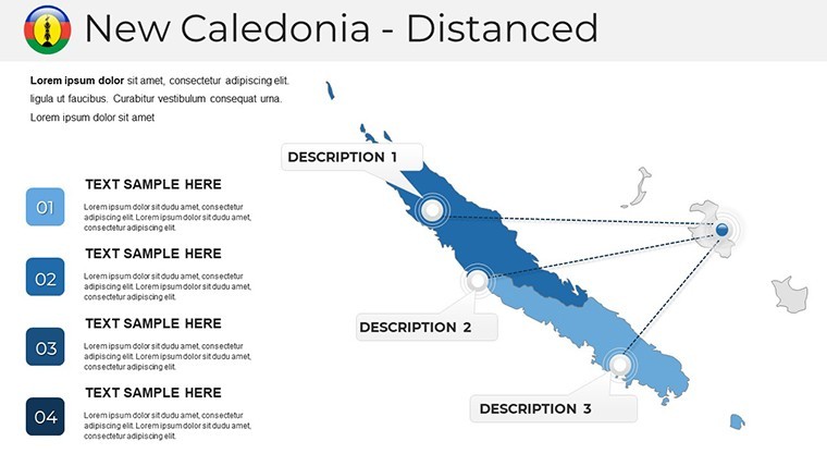
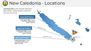
- 24 Multipurpose Slides: Ranging from wide-screen regional overviews to animated insets for Loyalty Islands, primed for inserting BIM models or hydrological data.
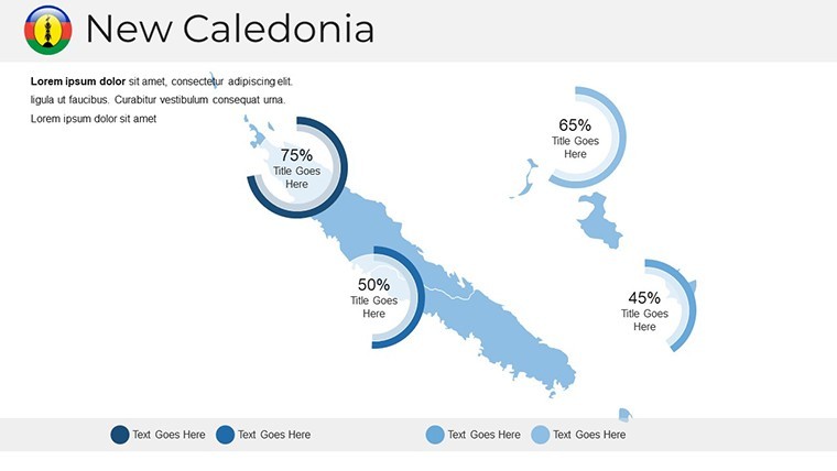
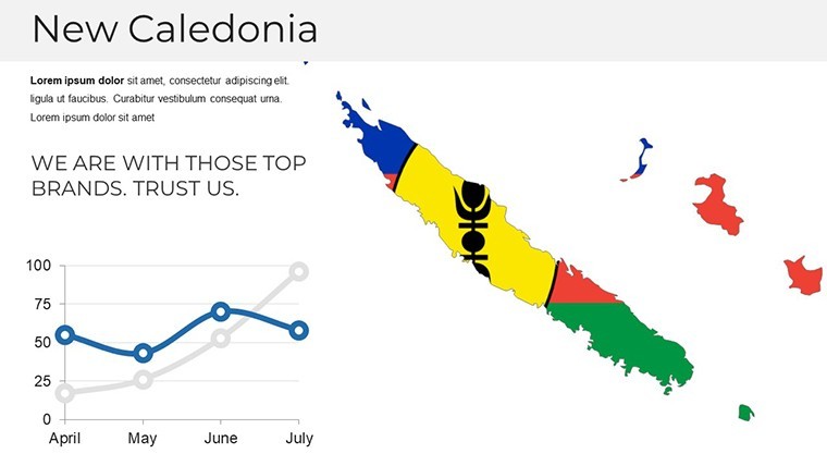
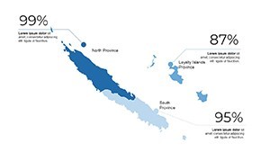
- High-Quality Edits: Retina-ready designs with free fonts (e.g., Open Sans) for labels, plus custom color swatches for lagoon blues and terrestrial greens.
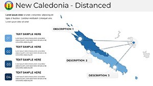
- User-Friendly Animations: Smooth Keynote transitions that layer ecological impacts, revealing phased restorations in mining sites.
- Documentation Included: Quick-start guide for integrating with tools like ArcGIS, plus tips for PowerPoint conversions.
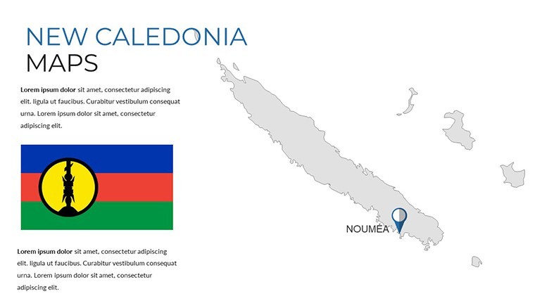
Unlike generic online maps, this template's handcrafted elements ensure trustworthiness, with built-in documentation referencing reliable sources like IGN France for base layers.
Practical Applications in Design Workflows
Leverage the template for targeted scenarios, such as biodiversity corridors in urban expansions or heritage preservations in colonial districts. Landscape architects can map endemic species habitats to advocate for green roofs and permeable pavements.
Implement via this streamlined process:
- Foundation Mapping: Populate the base slide with cadastral data, focusing on Nouméa's coastal vulnerabilities.
- Enhance Narratives: Add symbols for architectural features - e.g., solar arrays - using drag-and-drop vectors.
- Visualize Dynamics: Animate sea-level projections to stress-test designs against climate models.
- Collaborate Globally: Export to Google Slides for remote reviews, incorporating multicultural input.
In a real-world triumph, a Sydney firm utilized similar maps for a lagoon resort proposal, layering tourism flows with conservation zones to gain local approvals and international acclaim for balanced development.
Optimization Strategies and Insights
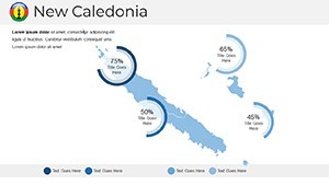
Fine-tune for impact: Use gradients to denote salinity gradients in lagoons, vital for waterfront designs. For a touch of levity in team huddles, quip about 'mapping the uncharted' in client wildcards. It outperforms basic templates by embedding metadata for easy updates, aligning with agile project management.
The template's authoritative edge comes from its focus on verifiable data, building client trust in high-stakes bids.
Seize the Opportunity for Elevated Design
Ready to infuse your presentations with New Caledonia's splendor? Acquire the Keynote Maps Template today and pioneer architecture that respects and enhances this extraordinary landscape.
Frequently Asked Questions
Q: Are the maps scalable for large prints?A: Yes, vector-based for infinite scaling without quality loss, ideal for posters or billboards.
Q: How compatible is it with design software?A: Exports integrate well with Adobe Illustrator or Rhino for further refinements.
Q: Suitable for tourism architecture?A: Perfect; visualize eco-lodges with overlaid visitor paths and natural buffers.
Q: What about French regulatory compliance?A: Base layers support PLU integrations for zoning visuals.
Q: Includes biodiversity icons?A: Yes, customizable for flora/fauna, enhancing ecological narratives.