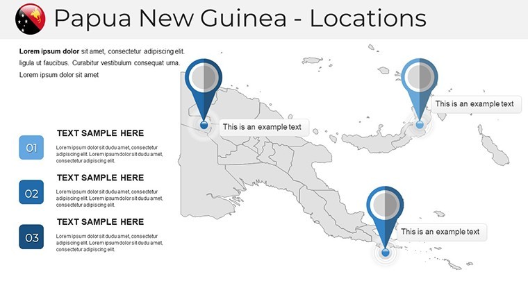
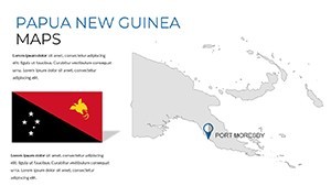
Papua New Guinea Keynote Maps: Architecting Across Diverse Terrains


Type: Keynote Maps template
Category: Australia
Sources Available: .key
Product ID: KM00229
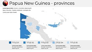
Template incl.: 38 editable slides
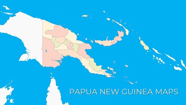
In the rugged beauty of Papua New Guinea, where towering mountains meet lush rainforests and coastal plains, architects face the thrill of designing for unparalleled diversity. The Papua New Guinea Keynote Maps Template captures this essence with 38 editable slides, crafted specifically for professionals navigating complex site assessments and project visualizations. Whether you're conceptualizing highland villages resilient to seismic activity or lowland eco-cities, this template turns geographical challenges into storytelling triumphs.
Rooted in the principles of sustainable design endorsed by bodies like the Royal Australian Institute of Architects (RAIA), the template facilitates the integration of real-time data such as soil stability maps and biodiversity hotspots. Exportable to PowerPoint or Google Slides, it supports hybrid workflows, ensuring your visions remain intact across tools. This isn't merely a map pack - it's a comprehensive toolkit that amplifies your expertise, helping firms like those involved in PNG's mining infrastructure projects to convey scalability and environmental harmony.
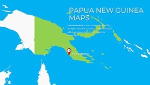
Envision a scenario where your team uses these slides to demo a bridge spanning the Sepik River: Layer in hydraulic models over the base topography, animate flood scenarios, and pinpoint material sourcing routes. Such precision has proven invaluable in case studies from Port Moresby firms, where map-driven presentations secured partnerships for renewable energy hubs. With its intuitive drag-and-drop interface, even non-designers on your team can contribute, fostering collaboration without compromising on professional polish.
Core Features Tailored for Design Innovation
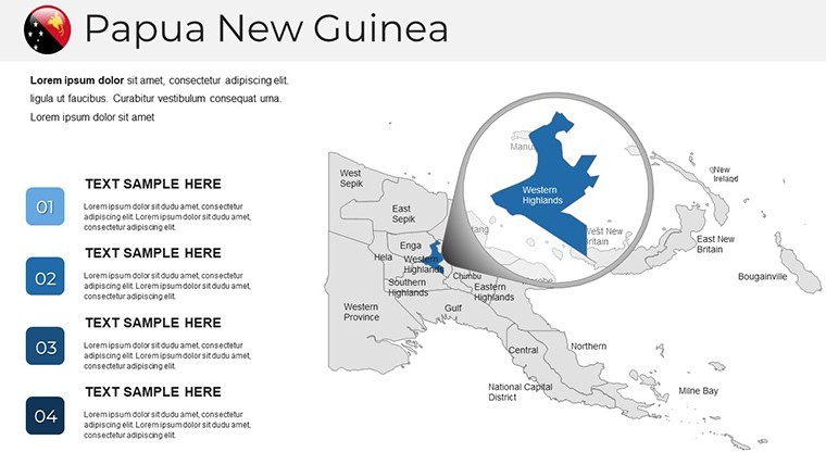
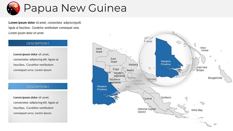
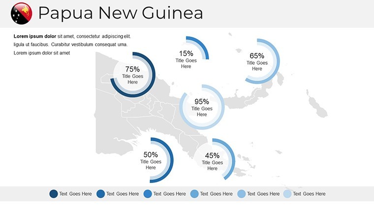
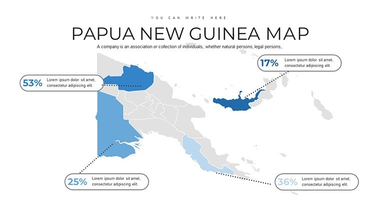
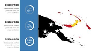
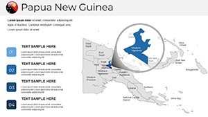
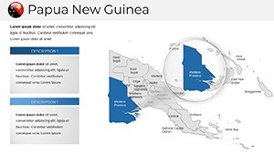
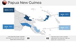
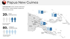
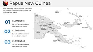
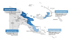
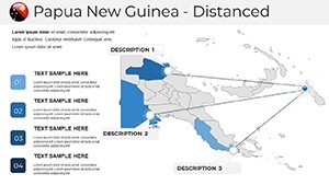
At the heart of this template lies a suite of features honed for architectural depth. The high-resolution terrain renders depict PNG's varied elevations - from the 4,500m peaks of the Highlands to the coral-fringed islands - using scalable vectors that prevent distortion in zoomed views.
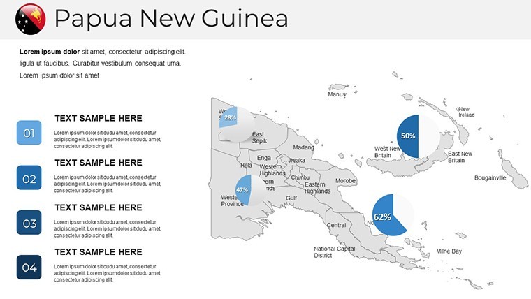
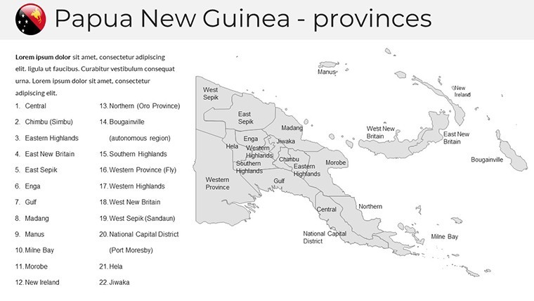
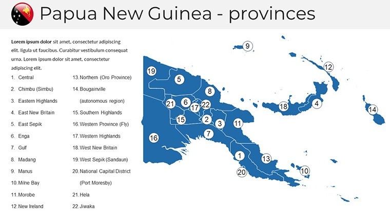
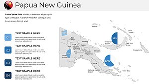
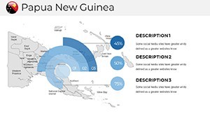
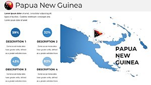
- 38 Versatile Slides: Including thematic maps for resource distribution, infrastructure networks, and climate vulnerability indices, each ready for embedding Revit exports or satellite imagery.
- Branding Flexibility: Swap color palettes to align with your firm's guidelines, incorporating earthy tones for environmental themes or vibrant accents for cultural integrations.
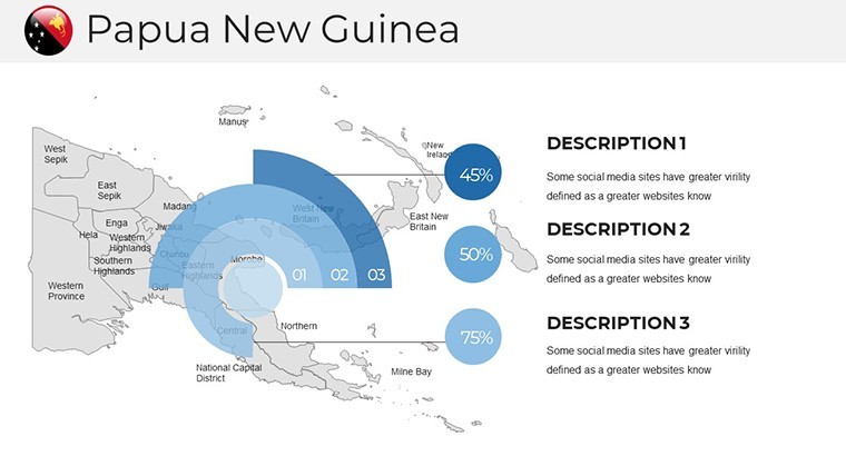
- Dynamic Animations: Keynote-native effects that unfold multi-layered analyses, such as revealing urban growth projections over time, ideal for long-term planning pitches.
- Cross-Platform Sync: Flawless conversion to PowerPoint formats, with preserved animations for executive summaries.
Design experts highlight the template's edge over standard GIS screenshots: Its pre-built legends and scale bars ensure compliance with international standards, like those from the International Federation of Surveyors, while saving drafting time.
Strategic Use Cases in Architectural Practice
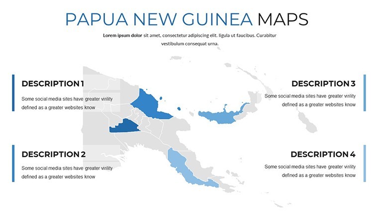
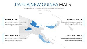
This template shines in scenarios demanding spatial eloquence. For environmental architects, the rainforest coverage slides enable modeling deforestation impacts, supporting arguments for permaculture-integrated buildings. Urban designers can utilize the port city overviews to strategize harbor expansions, factoring in tidal data and logistics corridors.
Follow this workflow to harness its power:
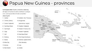
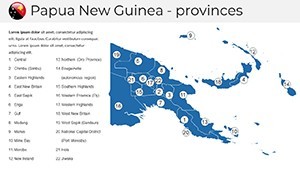
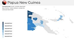
- Base Layer Setup: Import topographic surveys onto the national overview slide, aligning with PNG's provincial boundaries.
- Data Augmentation: Insert metrics like population growth via infographics, using the template's chart placeholders for seismic risk assessments.
- Narrative Building: Apply transitions to sequence from macro-regional views to micro-site details, emphasizing adaptive reuse in heritage zones.
- Review and Share: Test in Keynote, then share via Google Slides for stakeholder input, iterating on feedback swiftly.
A compelling example comes from a collaborative project in Lae, where architects employed map templates to visualize industrial park layouts amid volcanic terrains. The result? A proposal that not only won approval but also integrated community feedback through interactive map elements, exemplifying inclusive design.
Pro Tips for Seamless Integration
Enhance usability by pairing the maps with complementary tools - link to external datasets for live updates on PNG's biodiversity. For humor in high-stakes meetings, lightly note how the template 'tames the wilds' of data overload. Versus basic templates, this one's depth reduces revision cycles, letting you iterate designs faster.
Architects value its trustworthiness: Backed by accurate geospatial references, it builds credibility in pitches to NGOs or government bodies focused on PNG's development.
Transform Your Projects Today
Don't let geographical intricacies hinder your creativity. With the Papua New Guinea Keynote Maps Template, start customizing your masterpieces and lead the forefront of innovative architecture in one of the world's most dynamic landscapes.
Frequently Asked Questions
Q: Can these maps handle detailed terrain data for engineering?A: Yes, vector formats support layering complex data like fault lines for seismic-safe designs.
Q: How does it adapt to PowerPoint?A: Export directly with full fidelity, maintaining edits for Windows-based teams.
Q: Is it useful for cultural architecture projects?A: Definitely; highlight indigenous sites to blend tradition with modern builds.
Q: What about animation compatibility in Google Slides?A: Core animations transfer well, with minor tweaks for optimal playback.
Q: Does it cover remote areas like the highlands?A: Comprehensive coverage, including detailed insets for isolated regions.
Q: Are there resources for beginners?A: Included quick-start guide covers basics to advanced customizations.