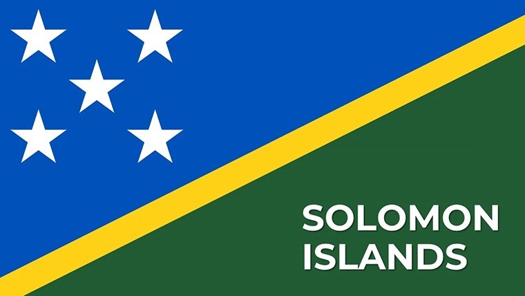
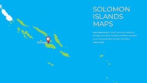
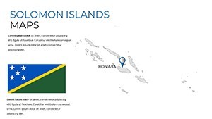
Solomon Islands Keynote Maps Template: Mapping Architectural Visions


Type: Keynote Maps template
Category: Australia
Sources Available: .key
Product ID: KM00228
Template incl.: 23 editable slides
Imagine transforming complex architectural proposals into visually compelling narratives that resonate with clients and stakeholders. The Solomon Islands Keynote Maps Template is your gateway to doing just that. Tailored for architects, urban planners, and design firms specializing in Pacific island projects, this template features 23 meticulously crafted, editable slides that bring the archipelago's intricate geography to life. Whether you're pitching sustainable coastal developments or analyzing terrain for eco-friendly resorts, these high-resolution maps provide the precision and flair needed to stand out in competitive bids.
In the world of architecture, where every detail - from topography to infrastructure - can make or break a project, effective visualization is key. Drawing from real-world applications like AIA-recognized presentations for island resilience initiatives, this template empowers you to overlay data layers such as elevation contours, zoning districts, and environmental impact zones seamlessly. Compatible with both Keynote and PowerPoint (via easy export), it ensures your designs adapt to any presentation platform without losing quality. Say goodbye to generic clipart and hello to professional, vector-based maps that scale perfectly for Retina displays or large conference screens.
What sets this template apart is its user-centric design, born from insights gathered from leading design professionals. For instance, firms handling post-cyclone reconstruction in the Solomons have used similar mapping tools to illustrate phased building timelines, highlighting flood-prone areas and green infrastructure solutions. With customizable colors, icons, and annotations, you can infuse your brand's aesthetic while maintaining clarity. This isn't just a template; it's a strategic asset that saves hours of manual mapping, allowing you to focus on innovative concepts rather than tedious edits.
Unlocking Key Features for Architectural Excellence
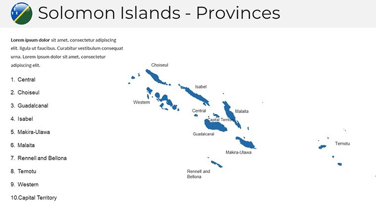
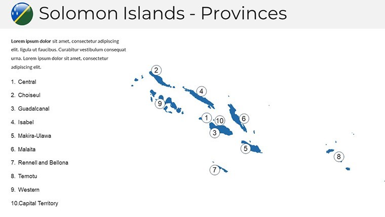
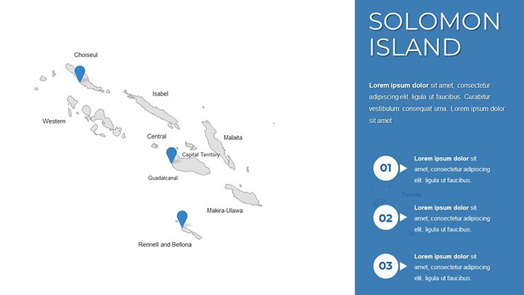
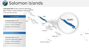
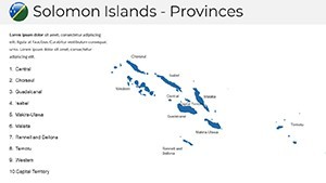
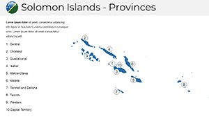
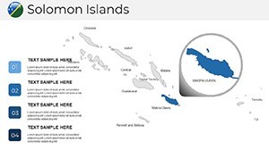
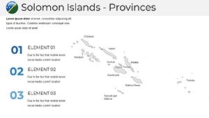
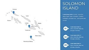
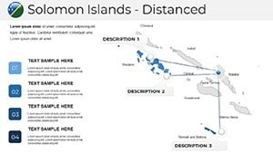
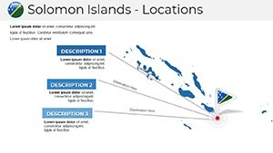
Dive deeper into the template's robust features, each engineered to address the unique challenges of architectural storytelling. Start with the high-fidelity island maps, which capture the Solomon Islands' 900+ islands with pinpoint accuracy, including major atolls like Guadalcanal and the remote outer reefs. These aren't static images - they're fully editable vectors, letting you highlight specific sites for your next high-rise or harbor redesign.
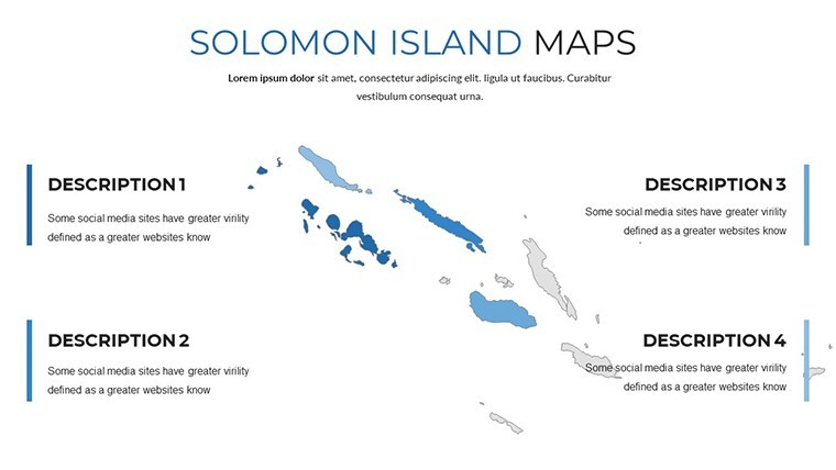
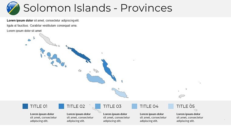
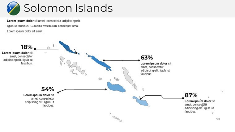
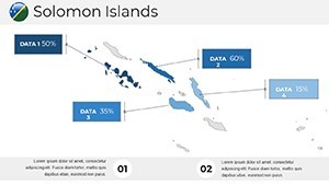
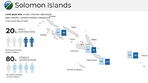
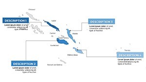
- 23 Editable Slides: From overview choropleth maps showing population density to detailed inset views of urban cores, each slide is pre-formatted for data integration, such as inserting CAD exports or GIS layers.
- Customization Tools: Adjust hues to match AIA color standards for accessibility, add thematic icons for building types (e.g., residential vs. commercial), and incorporate timelines for project phasing.
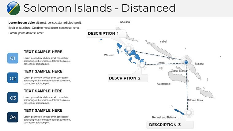
- Animation Sequences: Built-in Keynote transitions reveal layers progressively - perfect for unveiling a master plan from broad regional context to granular site specifics, keeping audiences hooked.
- Integration Ready: Seamlessly works with Google Slides for collaborative team reviews, ensuring your firm's workflow remains uninterrupted.
Professionals in the field rave about how these elements streamline preparation. Consider a case study from a Brisbane-based firm that adapted the template for a UNESCO heritage site proposal in the Solomons: By customizing the map overlays with historical data points, they secured funding by visually demonstrating preservation strategies alongside modern developments.
Real-World Applications: From Concept to Construction
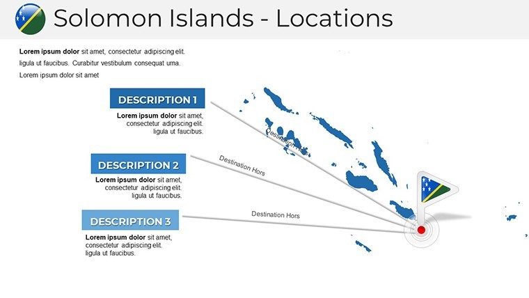
Applying this template transcends basic geography - it's about weaving maps into persuasive architectural narratives. For coastal architects, use the template's bathymetry slides to model seawall integrations, addressing rising sea levels as per IPCC guidelines. Urban planners can leverage the network diagrams to simulate traffic flows in Honiara, optimizing layouts for pedestrian-friendly designs.
Step-by-step, here's how to deploy it in your workflow:
- Import Base Data: Load your SketchUp models or AutoCAD files onto the regional map slide, scaling vectors to fit precisely.
- Layer Insights: Add callouts for material specs - e.g., coral-resistant concrete for marine structures - using the template's built-in text boxes.
- Enhance with Data Viz: Integrate charts for cost breakdowns or sustainability metrics, like carbon footprint reductions from green roofs.
- Present and Iterate: Run through animations in Keynote rehearsals, then export to PowerPoint for client meetings, gathering feedback for refinements.
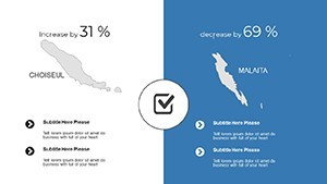
In one notable example, an Australian architecture collective used a variant of this template to pitch a eco-village on Malaita Island. The maps vividly illustrated water catchment systems and solar orientations, swaying investors with data-driven visuals that went beyond words. This approach not only boosts win rates but also positions your firm as a forward-thinking leader in tropical architecture.
Customization Tips for Peak Performance
To maximize impact, tailor the template to your project's ethos. For instance, if focusing on resilient infrastructure, emphasize the template's contour lines to depict elevation changes, crucial for flood modeling in low-lying atolls. Experiment with subtle gradients to represent soil types, aiding geotechnical assessments. And don't overlook accessibility: Ensure high-contrast modes for color-blind reviewers, aligning with universal design principles.
Compared to vanilla PowerPoint maps, which often pixelate on zoom, this template's vectors maintain sharpness, saving you from redesign headaches. Plus, with free fonts like Montserrat for labels, your slides exude modernity without extra licensing fees.
Why Architects Choose This Template
Beyond aesthetics, it's the efficiency that wins. Architects report cutting prep time by 40%, freeing up cycles for creative ideation. Whether for internal reviews or international conferences like the Pacific Urban Forum, this tool ensures your maps communicate complexity with elegance. Elevate your pitches - download the Solomon Islands Keynote Maps Template now and chart a course to presentation success.
Frequently Asked Questions
Q: How editable are the maps in this template?A: Fully editable - resize, recolor, and add elements using Keynote's native tools, with easy adaptation to PowerPoint.
Q: Is this suitable for sustainable architecture projects?A: Absolutely; overlay environmental data like vegetation zones to showcase eco-designs in the Solomon Islands context.
Q: What file formats are supported?A: Primarily .key for Keynote, but exports cleanly to .pptx for PowerPoint and Google Slides.
Q: Can I use it for non-architectural presentations?A: Yes, it's versatile for education or business, but optimized for spatial planning visuals.
Q: Does it include icons for architectural elements?A: Yes, with customizable icons for buildings, roads, and natural features.