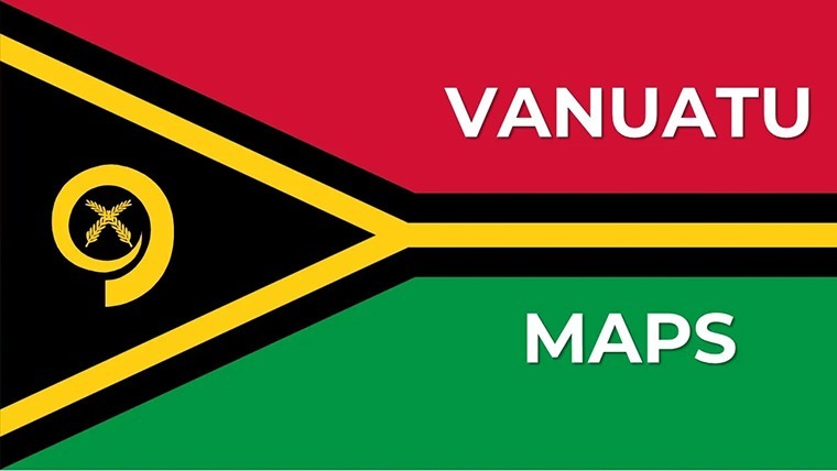
Vanuatu Keynote Maps: Comprehensive Collection for Island Insights


Type: Keynote Maps template
Category: Australia
Sources Available: .key
Product ID: KM00227
Template incl.: 25 editable slides
Step into a world of island geography with the Vanuatu Keynote Maps template, boasting 25 editable slides that fuse elegance with functionality for presentations that pop. Perfect for architects envisioning resort developments on Efate or educators dissecting Pacific tectonics, this collection offers political, geographical, and thematic maps to weave data into dynamic tales. Visualize population distributions across the archipelago or map cultural heritage sites with ease, all within Keynote's robust framework. The modern design ensures your slides captivate, whether detailing eco-tourism strategies or infrastructure blueprints compliant with regional standards. Customizable elements let you tweak everything to perfection, turning geographical challenges into opportunities for innovation and clarity.
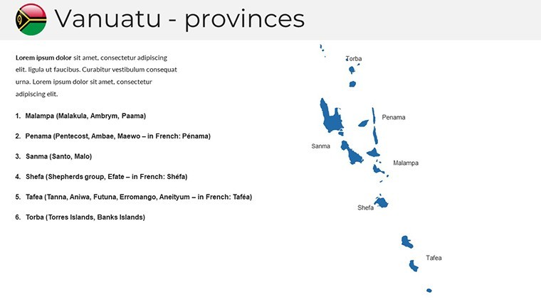
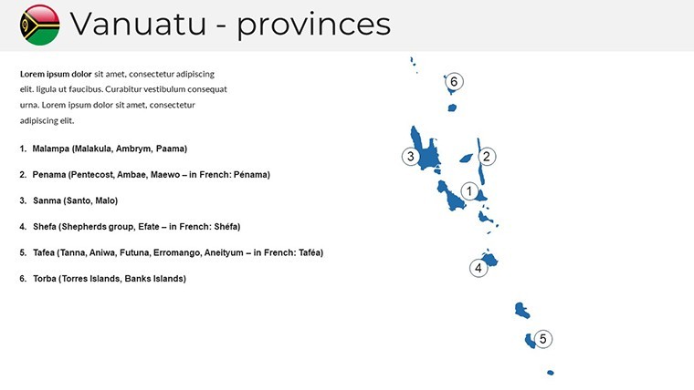
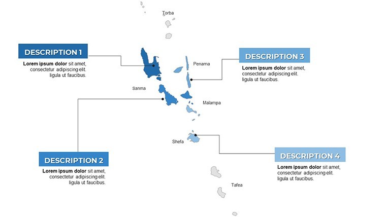
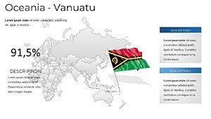
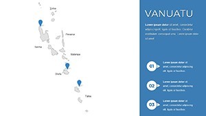
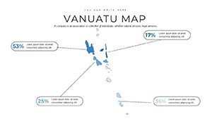
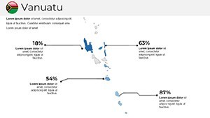
Exploring Vanuatu's Archipelago Through Advanced Mapping
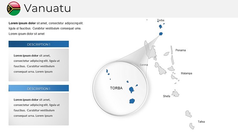
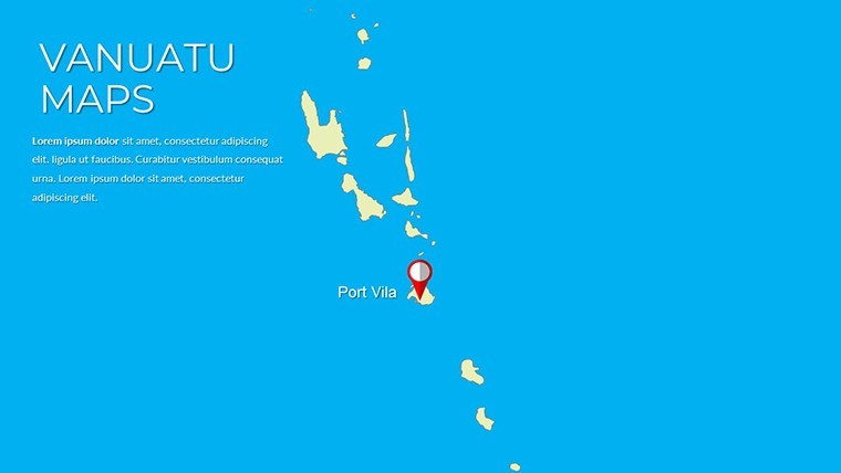
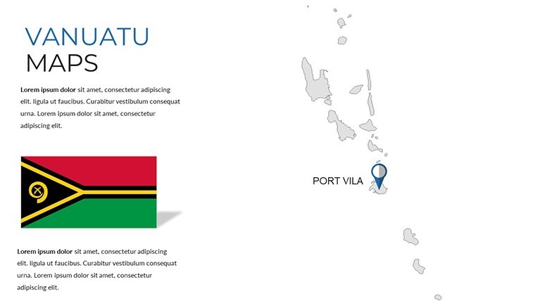
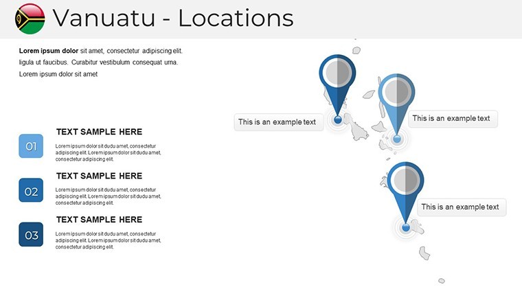
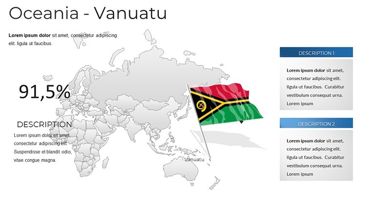
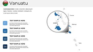
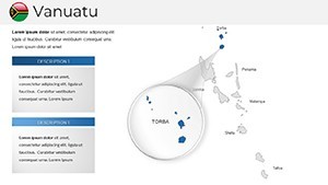
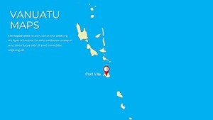
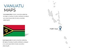
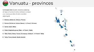
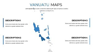
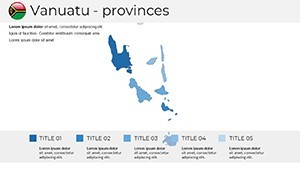
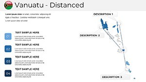
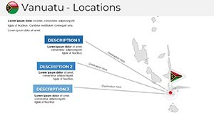
Architects can harness these maps for urban planning in Port Vila, using slide 12 to layer seismic data for earthquake-resistant designs, inspired by Pacific Rim case studies. Tourism pros adapt slide 19 for highlighting dive sites, blending visuals with economic forecasts. Government reports benefit from thematic maps on slide 6, illustrating development projects like road networks. The template's variety - from island outlines to climate zones - supports nuanced narratives, making it invaluable for NGOs tracking sustainability or businesses eyeing expansions.
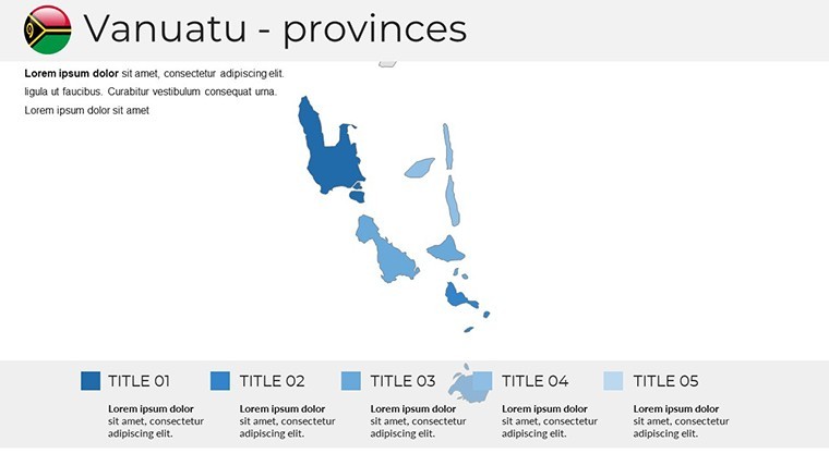
Core Features Driving Presentation Excellence
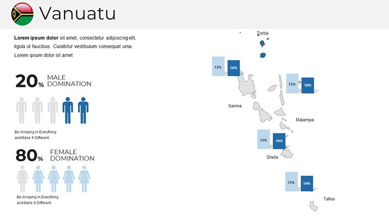
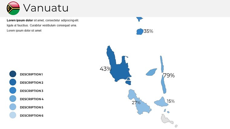
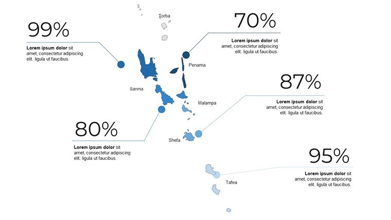
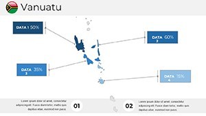
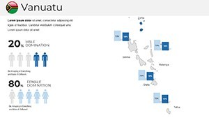
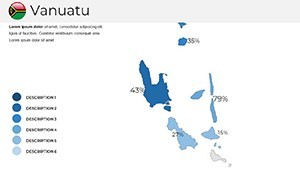
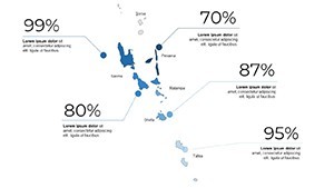
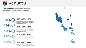
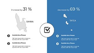
With 25 slides, the focus is on quality: interactive markers, adjustable colors, and high-quality graphics for a refined look. Edit text for custom labels, like noting volcano locations, and integrate stats seamlessly. This surpasses standard maps by offering thematic depth, ideal for detailed analyses.
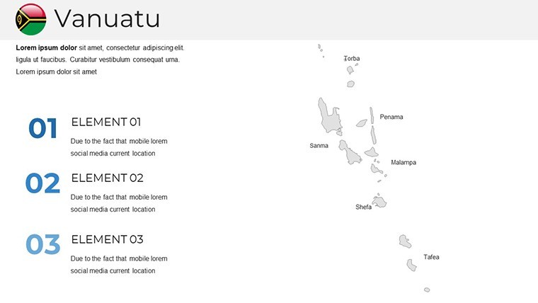
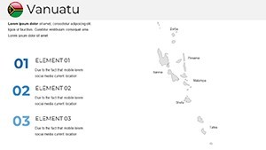
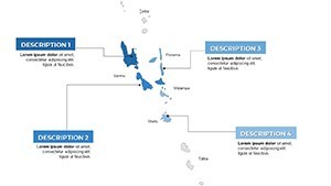
- Map Layouts: Political boundaries to geographical terrains.
- Customization Options: Full control over aesthetics and content.
- High-Res Graphics: Ensures professional polish.
- Versatile Themes: For diverse sectors like architecture and education.
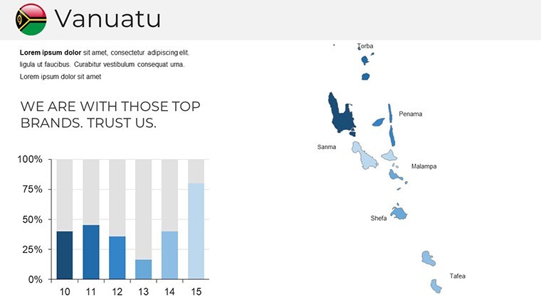
Diverse Applications in Professional Settings
An architect might use slide 20 for a coastal resort proposal, overlaying flood zones to showcase resilient features, echoing successful Vanuatu rebuilds post-cyclones. Educators customize for history lessons, adding timelines to maps. In business, map logistical routes for supply chains, as in a firm that boosted efficiency through visualized planning. This template's adaptability shines in real scenarios, fostering collaborations and insights.
Guided Process for Effortless Creation
- Open in Keynote and pick a map style.
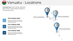
- Alter markers and colors for thematic fit.
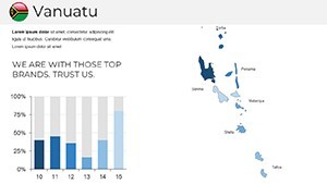
- Embed data like demographic charts.
- Finalize and share your masterpiece.
This method aligns with efficient design practices, maximizing impact.
Expert Strategies for Memorable Maps
Incorporate pro tips: Use gradients for depth in island visuals, per design authorities. For authority, reference UN data on slides. Users praise its role in winning grants for infrastructure, underscoring its value in architectural and beyond.
Seize the islands' potential - download Vanuatu Keynote Maps and chart your course to success.
Frequently Asked Questions
Are the maps interactive?
Yes, add hyperlinks or animations in Keynote for engagement.
Suitable for large audiences?
High-res ensures clarity on big screens.
Can I expand the slide count?
Duplicate slides for unlimited customization.
Support for thematic data?
Absolutely, overlays make it easy.
Commercial license included?
Yes, for all professional uses.