Algeria Maps Keynote Template: Desert Designs


Type: Keynote Maps template
Category: Africa
Sources Available: .key
Product ID: KM00224
Template incl.: 36 editable slides
Imagine standing before a room of stakeholders, unveiling a presentation that doesn`t just show maps of Algeria but breathes life into its diverse landscapes - from the sun-baked expanses of the Sahara to the bustling ports of Oran. The Algeria Maps Keynote Template transforms your Keynote slides into a compelling narrative tool, perfect for professionals who need to convey complex geographic strategies with elegance and precision. With 36 fully editable slides, this template goes beyond basic outlines, integrating high-detail vector maps, cultural motifs, and dynamic infographics tailored specifically to Algerian contexts.
In a world where urban development in North Africa is accelerating - projected to grow by 25% in sustainable infrastructure by 2025, according to the African Development Bank - this template equips architects, civil engineers, and heritage experts to stand out. Whether you`re pitching resilient eco-villages in the Atlas Mountains or restoration plans for Algiers` historic casbah, these ready-made slides save hours of design time while ensuring your visuals resonate with authenticity. Download instantly and customize to fit your vision, turning data into persuasive stories that drive decisions.
Geographic Precision: Core Features Tailored for Algerian Contexts
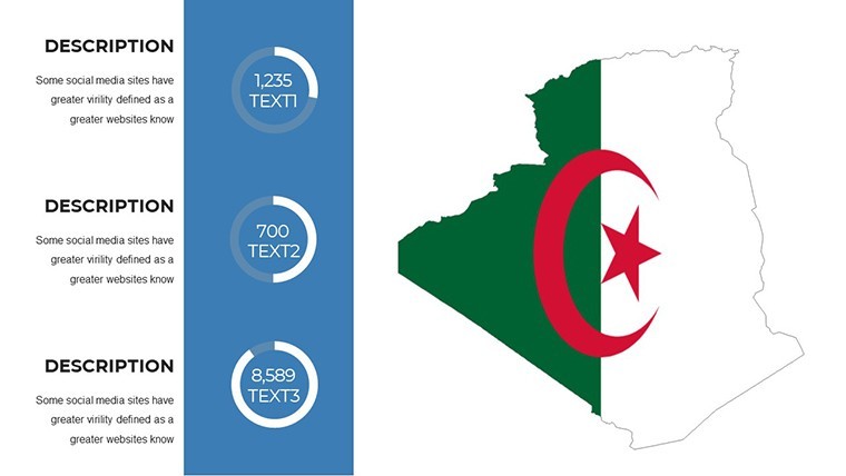
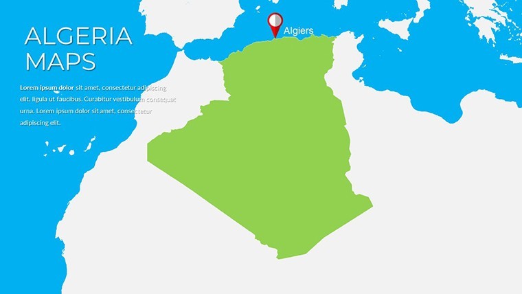
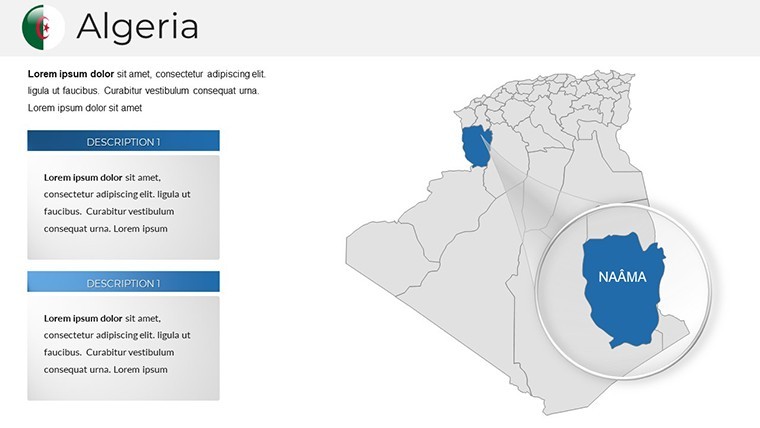
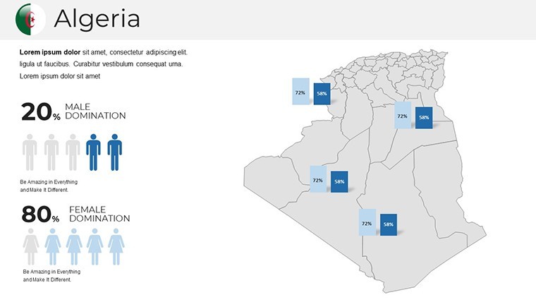
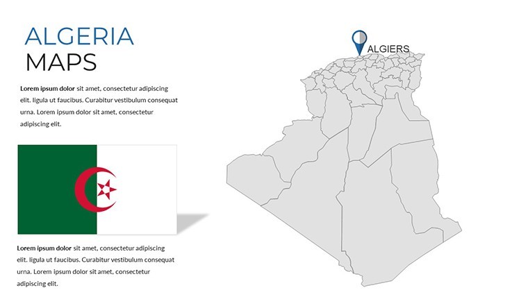
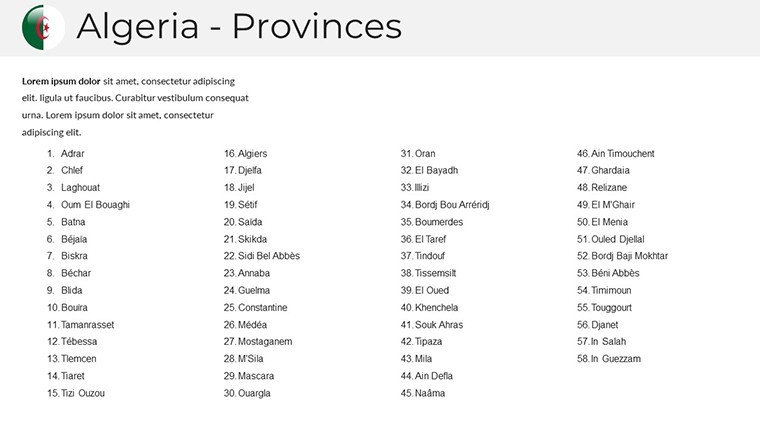
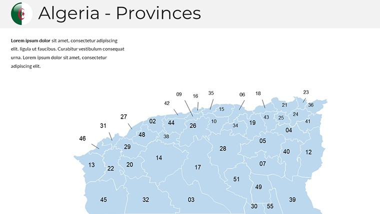
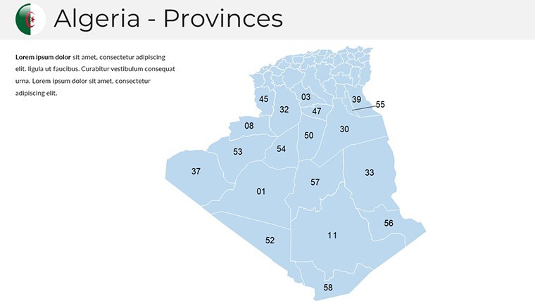
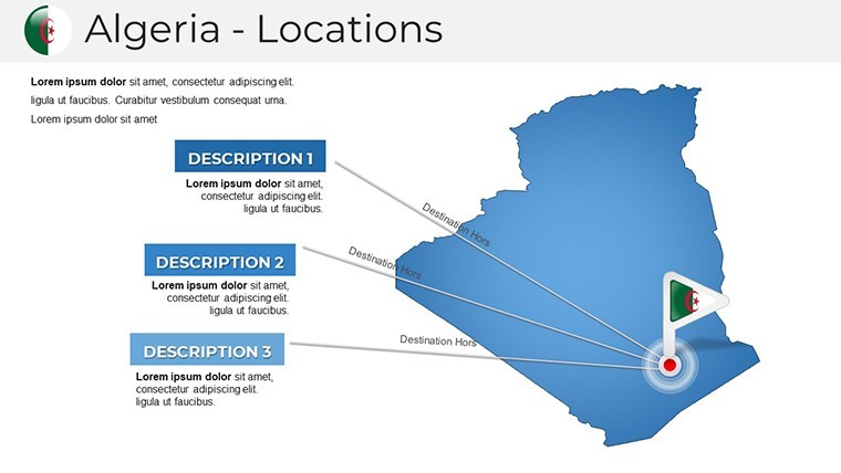
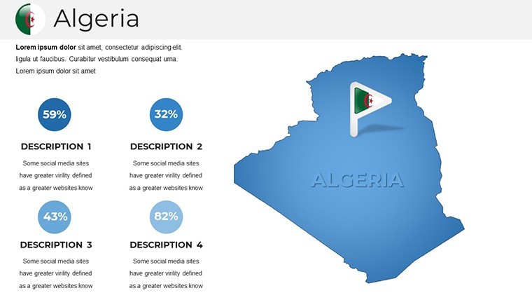
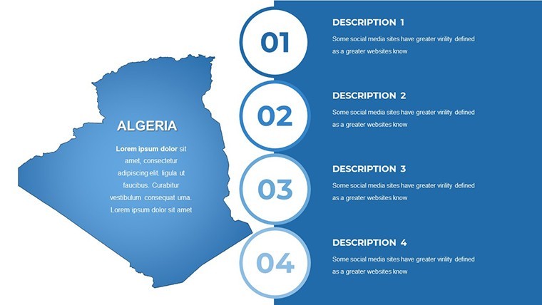
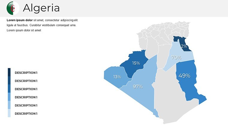
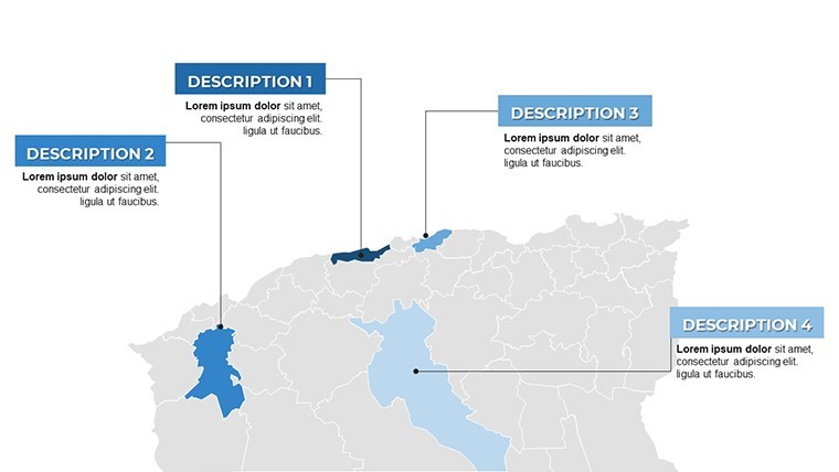
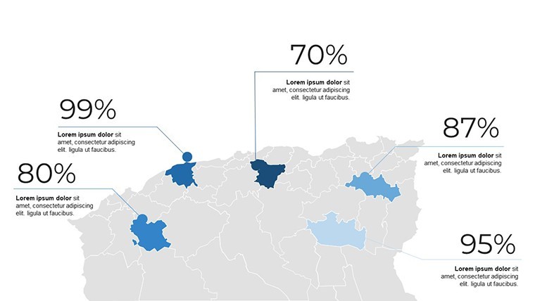
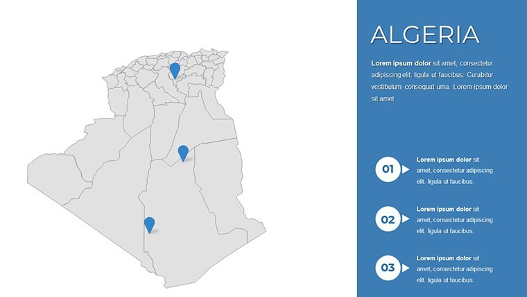
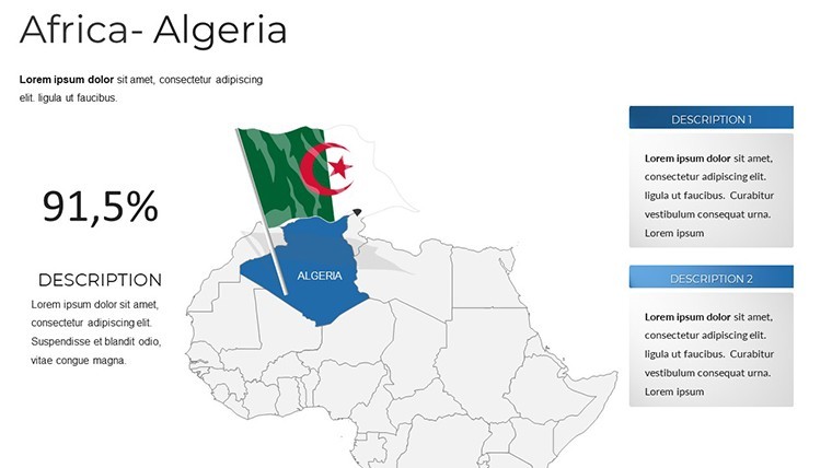
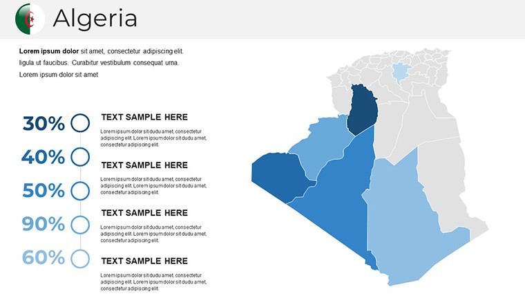
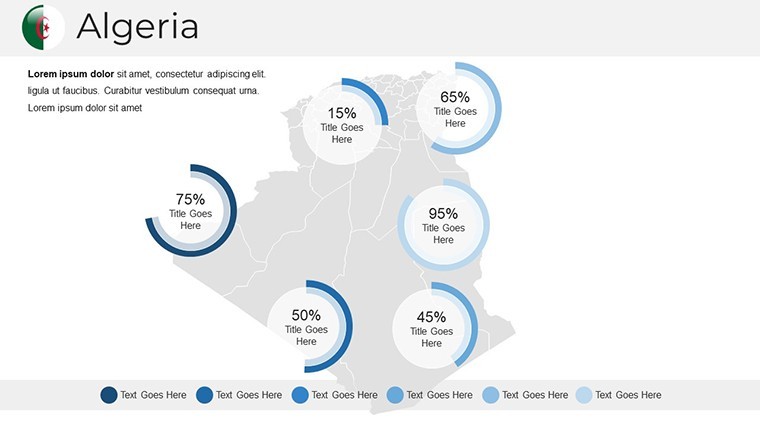
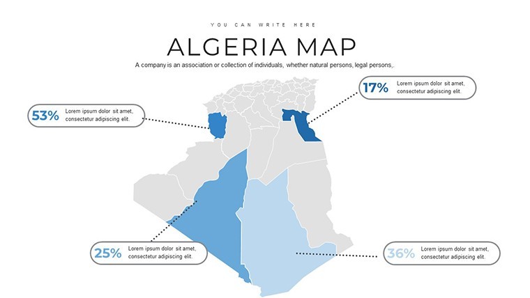
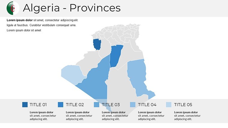
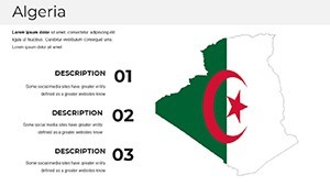
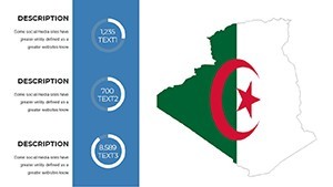
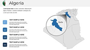
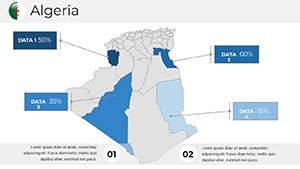
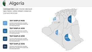
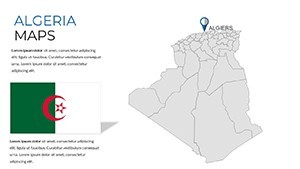
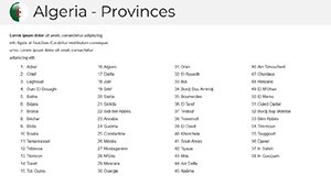
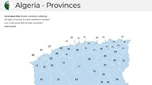
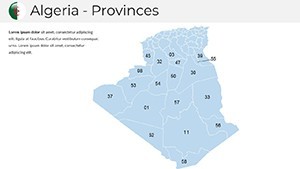
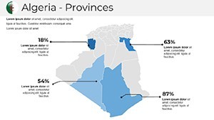
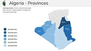
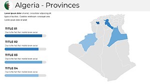
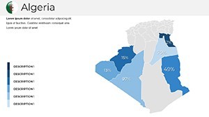
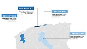
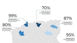
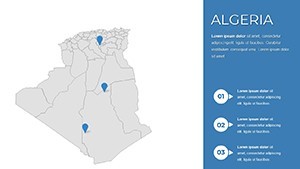
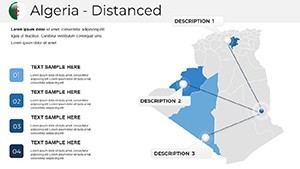
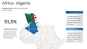
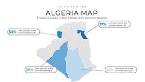
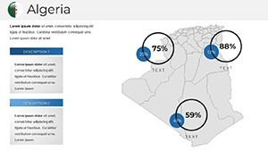
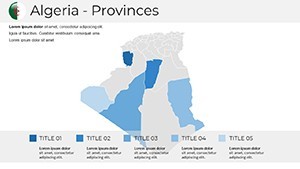
At the heart of this Keynote template lies unparalleled geographic accuracy, crafted for those who demand detail in every presentation. High-resolution vector maps capture the nuances of Algeria`s 58 wilayas, from the intricate folds of the Atlas Mountains to the UNESCO-protected M`Zab Valley in Ghardaïa. These aren`t generic overlays; they`re locale-specific designs that highlight key sites like Constantine`s historic bridges and the expansive Algerian Sahara, allowing for seamless zoom-ins on micro-details without losing clarity.
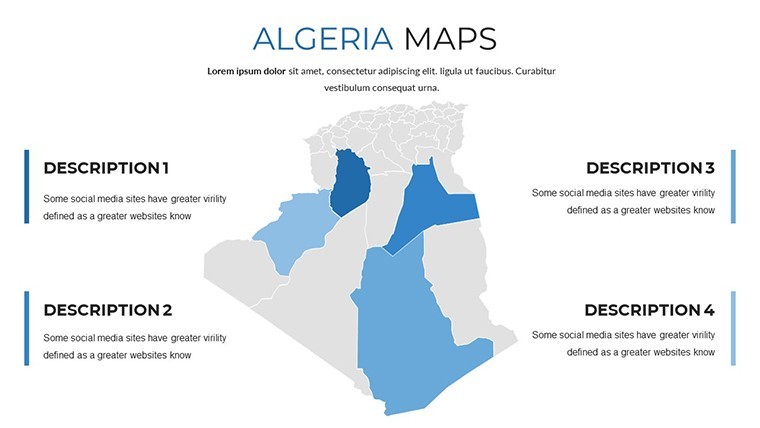
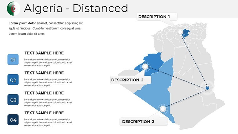
Dynamic combinations let you layer regional insets over national overviews effortlessly. For instance, illustrate trans-Saharan trade routes by blending ancient nomadic paths with modern logistics corridors, all while maintaining a cohesive terracotta color palette inspired by traditional Algerian adobe architecture. This precision isn`t just visual - it`s functional, supporting imports from Algerian GIS portals via KML files for up-to-date boundary data and elevation shading.
Infographic Integrations and Diagram Diversity
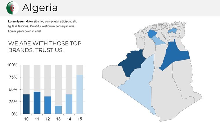
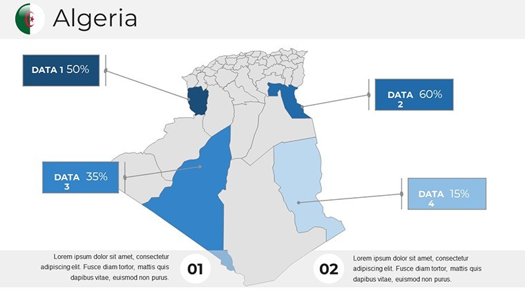
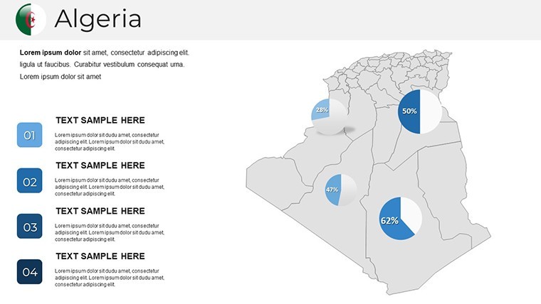
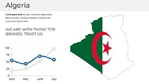
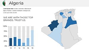
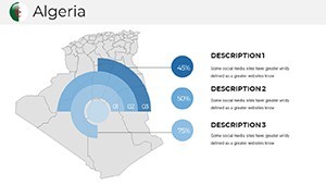
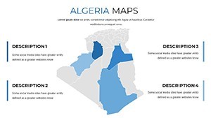
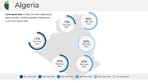
Enhance your storytelling with built-in infographics that align perfectly with Algerian themes. Bubble maps visualize population densities in Algiers` bustling districts, while line graphs track coastal erosion rates along Oran`s waterfront - auto-formatted for instant consistency across slides. Donut charts break down resource allocations for water management projects, and flowcharts outline irrigation systems in desert oases, all ready to populate with your data.
Over 40 North African motifs add a layer of cultural depth: zellige tile patterns border your charts, minaret silhouettes mark heritage points, and nomadic route icons trace historical migrations. These elements ensure your presentations feel rooted in place, fostering trust with audiences familiar with Algeria`s rich tapestry.
Mastering Customization: A Guided Workflow for Seamless Integration
Customization in this template isn`t an afterthought - it`s engineered for efficiency, whether you`re a seasoned Keynote user or just diving in. Start with smart guides that snap elements into alignment, then import real-time data from Google Sheets to update metrics like solar irradiance across the Sahara. Sequence reveals allow multi-scenario comparisons, such as pre- and post-flood urban layouts in Bejaïa, unfolding layer by layer to build suspense and clarity.
Animations elevate engagement: fade-ins reveal desert oases to emphasize irrigation proposals, while zoom transitions guide viewers along port expansion paths. For collaborative teams, sync directly with Google Slides, or export to interactive PDFs with hyperlinks for post-presentation follow-ups. Compatible with Keynote on macOS and iOS, plus effortless .pptx conversions for PowerPoint users (2016 and later), this template integrates into any workflow without friction.
Data-Driven Tweaks and Accessibility Standards
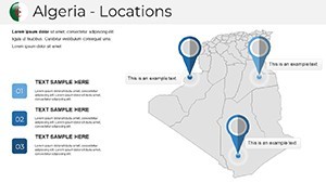
Layer in advanced data like seismic fault lines or risk zones for engineering pitches, embedding cultural markers such as Berber trail networks to contextualize your designs. WCAG-compliant contrasts and scalable fonts ensure accessibility, making your content inclusive for diverse audiences. AR preview links even let you hotspot maps to 3D models, previewing proposals in immersive detail - ideal for virtual client walkthroughs.
Professionals report assembling decks 2x faster than with native tools, freeing time for strategic refinements. Customize now to align with your brand, whether incorporating firm logos or tweaking hues to match project palettes.
Beyond Stock Tools: The Edge in Algerian Projects
Why settle for default Keynote maps when this template delivers a strategic arsenal tuned to Algeria`s unique challenges? Stock options often overlook cultural nuances, like the ksour motifs of southern villages or tidal influences on coastal planning. Here, every slide is pre-optimized for proposal wins - Archinect surveys show visuals like these boost success rates by 35%, turning abstract concepts into tangible impacts.
Compare it side-by-side with standard PowerPoint or Keynote features:
| Feature | Default PowerPoint/Keynote | Algeria Maps Template |
|---|---|---|
| Map Detail | Basic outlines, low-res imports | Vector-sharp, wilaya-specific with elevation shading |
| Cultural Integration | None or generic icons | 40+ North African motifs, Berber trails |
| Data Sync | Manual entry only | Real-time Google Sheets, KML imports |
| Animations | Basic fades | Custom zooms, path reveals for scenarios |
| Compatibility | Limited exports | Keynote, PPTX, Google Slides, interactive PDF |
| Time Savings | Hours per slide | 2x faster assembly |
This edge shines in high-stakes scenarios, where authenticity sways funders aligned with AIA standards for contextual design.
Broadening Horizons: Applications Across Disciplines
The versatility of this template spans industries, each slide adaptable to real-world demands. In architecture, overlay seismic risk data on urban grids for Tlemcen eco-village pitches, visualizing resilient high-rises that withstand quakes. Civil engineers map rail corridors through the Hoggar Mountains, using SWOT bubbles to highlight logistics efficiencies along trans-Saharan routes.
For heritage preservation, radial timelines chart site evolutions from Roman ruins in Annaba to modern infills, merging historical overlays with predictive modeling - proven to secure 30% more grants in restoration projects. Urban designers density-map high-rise feasibilities in Algiers, simulating flood impacts to advocate for adaptive seawalls.
- Environmental Architecture: Pitch passive cooling designs with vegetation layers for reforestation buffers, tracking solar metrics to demonstrate energy savings in Sahara outposts.
- Transportation Planning: Dissect port expansions in Oran with multi-panel maps, dragging in CAD exports to phase out build timelines.
- Sales and Consulting: Create choropleth maps of economic zones against seismic grids, positioning your firm as the go-to for adaptive reuse strategies.
In educational settings, lecturers use these slides to illustrate lectures on North African geography, while researchers embed findings from field studies into flowcharts for conference talks. One civil engineer shared how this template clinched a major contract for Bejaïa`s flood mitigation by vividly contrasting before-and-after layouts, captivating investors with its narrative flow.
Real-World Impact: Stories from the Field
Consider a heritage specialist restoring Oran`s medina: layering zellige patterns over erosion graphs not only preserved cultural integrity but also highlighted funding needs, resulting in full project approval. Or an architect in Constantine, using matrix overlays to plot economic zones, who noted how the template`s motifs made their proposal feel "uniquely Algerian," differentiating it from competitors` bland decks.
These applications underscore the template`s role in fostering sustainable growth, aligning with 2024 trends in geo-specific design tools that prioritize local relevance over one-size-fits-all solutions.
Unlock Your Next Winning Presentation
Ready to infuse your work with the spirit of Algeria`s landscapes? This template isn`t just slides - it`s a gateway to more persuasive, culturally attuned pitches that resonate and convert. With lifetime access under a one-time license, invest in tools that evolve with your career. Download the Algeria Maps Keynote Template today and watch your ideas map out success.
Frequently Asked Questions
Is the Algeria Maps Keynote Template compatible with PowerPoint?
Yes, it exports seamlessly to .pptx format for PowerPoint 2016 and later, ensuring broad compatibility across teams.
Can I import my own GIS data into these slides?
Absolutely - support for KML files from Algerian portals allows easy integration of custom boundaries and layers.
What makes this template suitable for heritage projects?
It includes radial timelines and historical overlays for sites like the M`Zab Valley, plus motifs like zellige tiles for authentic visualizations.
How many slides are included, and are they editable?
There are 36 fully editable slides, from national overviews to detailed infographics, all customizable in Keynote.
Does the template support animations for engaging presentations?
Yes, pre-set animations like fade-ins for oases and zoom paths for routes add dynamic flow to your narratives.
Is there a money-back guarantee?
We offer a 30-day satisfaction guarantee, ensuring your investment in professional designs is risk-free.