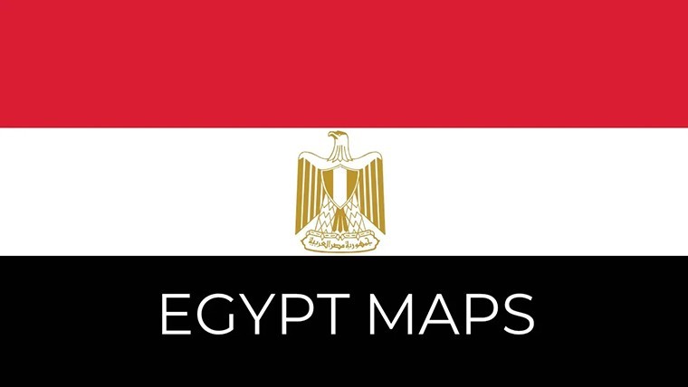
Egypt Keynote Maps: Editable Template for Timeless Narratives


Type: Keynote Maps template
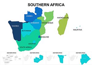
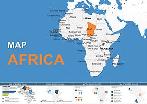
Category: Africa
Sources Available: .key
Product ID: KM00222
Template incl.: 37 editable slides
Delve into the cradle of civilization with the Egypt Keynote Maps Editable Template, a 37-slide masterpiece that brings the wonders of the Nile to your presentations. Ideal for historians, travel agencies, archaeologists, and urban heritage specialists, this template turns ancient landmarks and modern metropolises into interactive journeys. From the pyramids of Giza to the bustling Nile Delta, each slide is crafted to help you narrate Egypt's storied past and vibrant present, whether for a museum exhibit pitch or a cultural exchange seminar.
Optimized for Keynote's elegant interface, this template leverages vector precision for flawless scaling on Retina displays. Envision animating the flow of the Nile through pharaonic eras or overlaying tourist circuits on desert terrains - tools that elevate your storytelling beyond words. Drawing from authentic geographical data, it supports applications in heritage preservation, where visuals must convey the interplay of history and landscape with the accuracy expected in UNESCO reports.
Mastering Editable Maps with Ancient Flair
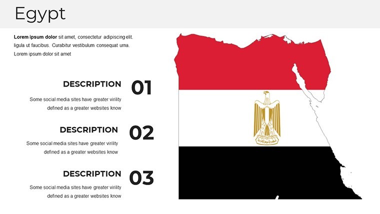
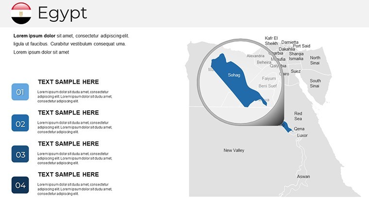
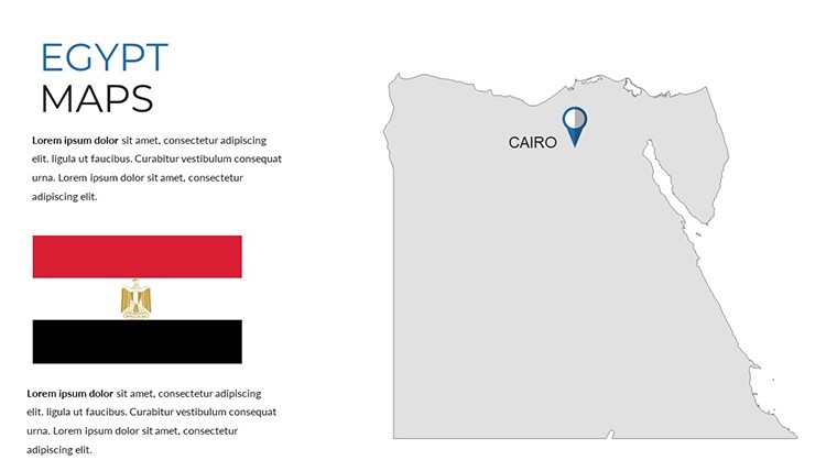
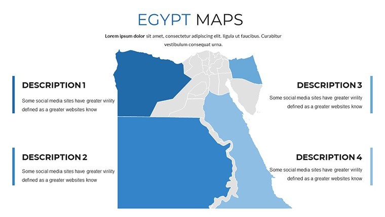
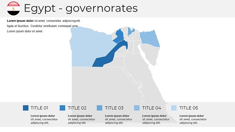
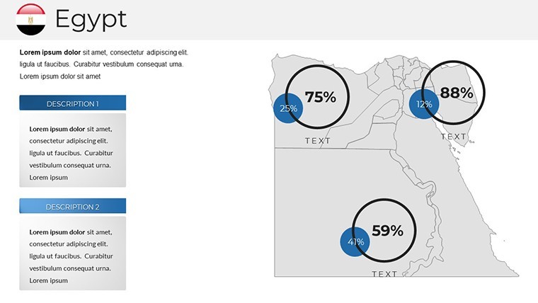
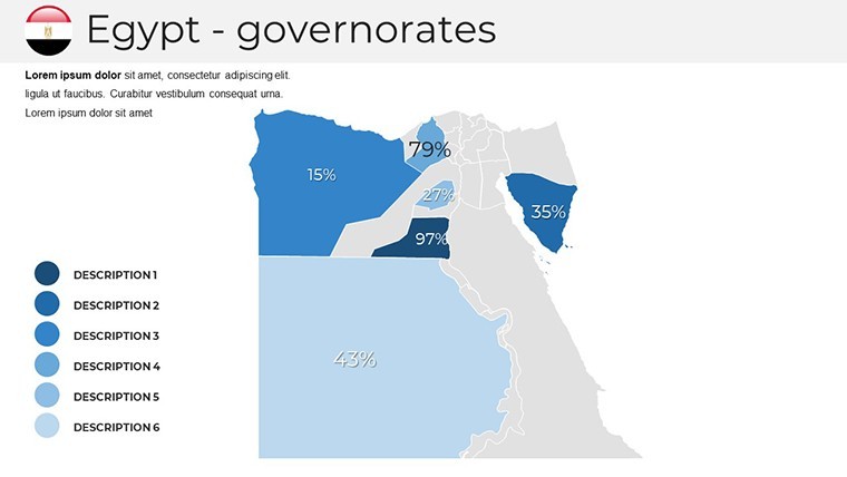
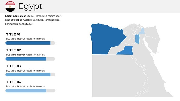
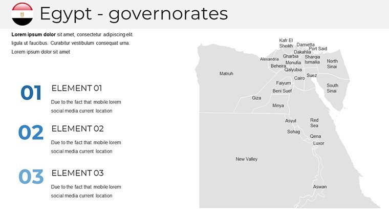
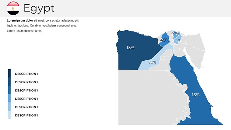
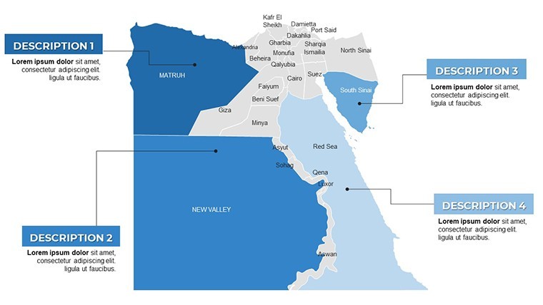
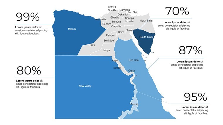
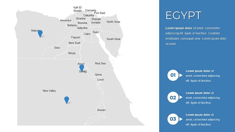
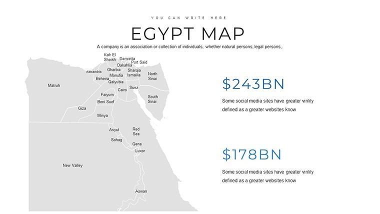
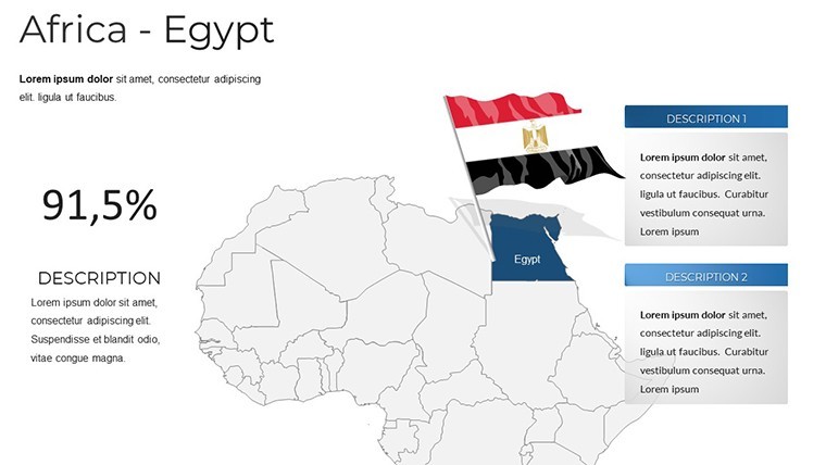
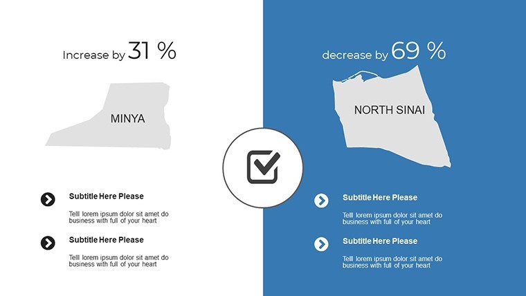
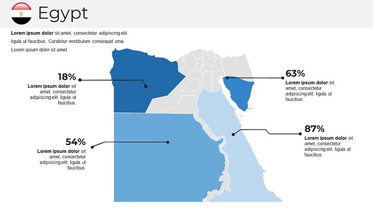
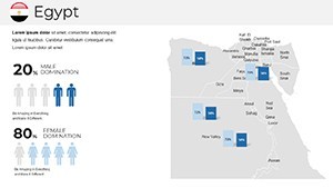
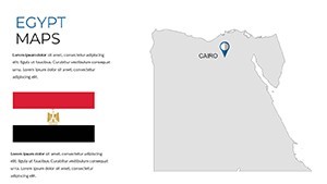
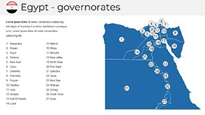
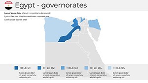
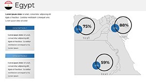
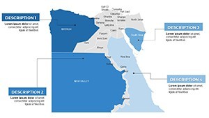
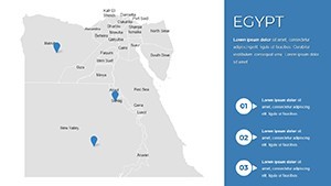
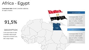
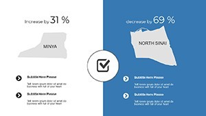
Slide 1 sets the scene with Egypt's transcontinental outline, spanning Africa and Asia, with editable labels for neighbors like Israel and Sudan. Slides 2-9 focus on the Red Sea coast, customizable for resort developments in Sharm El Sheikh or Hurghada, complete with wave patterns and island insets. The design incorporates subtle hieroglyph-inspired motifs, editable to fade or highlight as needed.
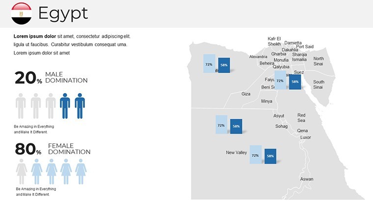
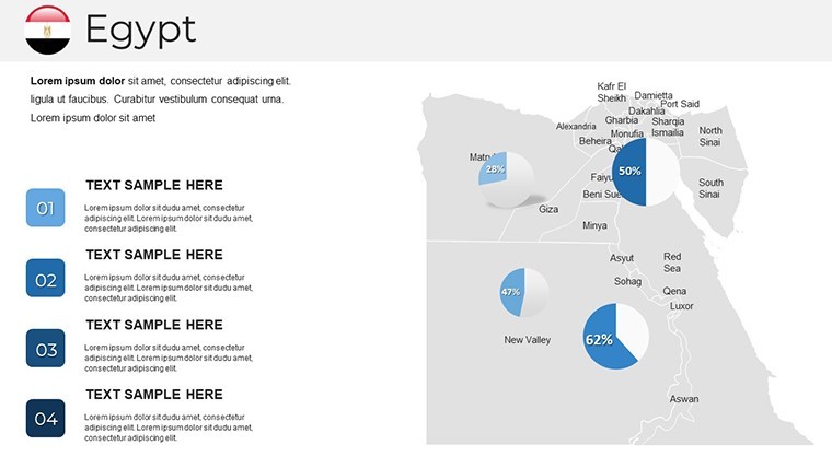
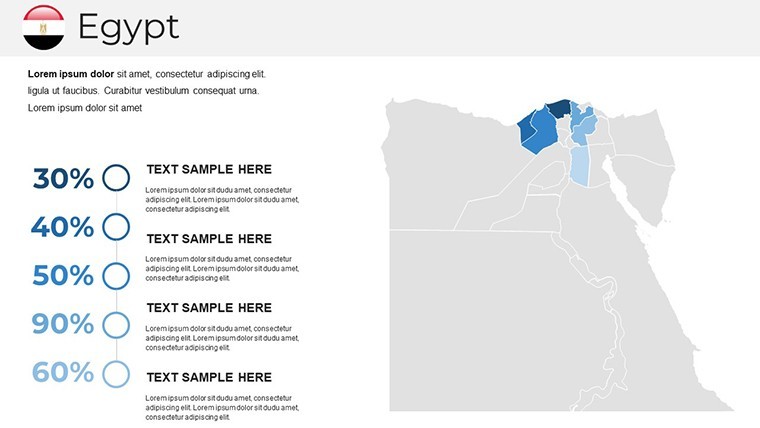
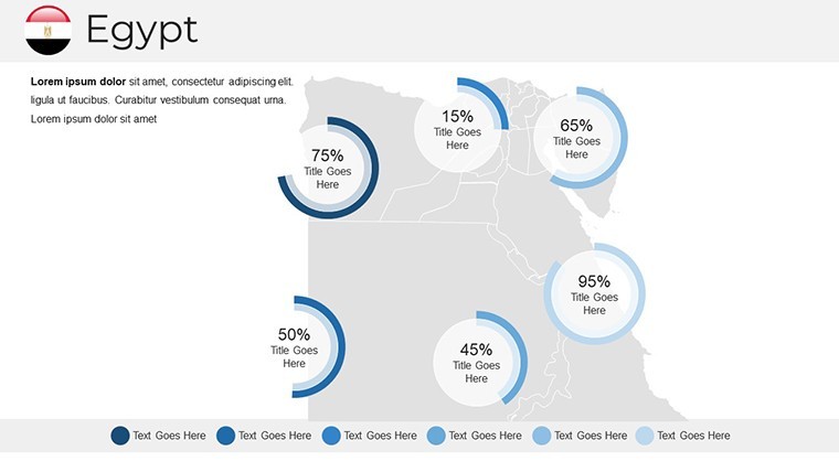
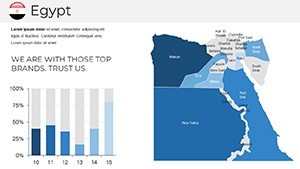
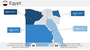
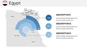
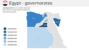
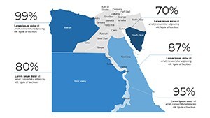
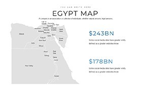
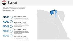
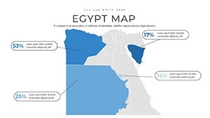
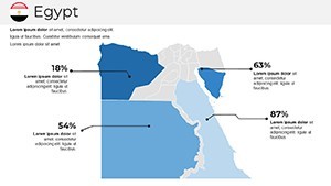
Fully vector-based, every map allows color shifts - from sandy beiges for the Western Desert to lush greens for the Valley of the Kings. Slide 10 introduces infographic overlays, like timelines charting dynasties against river bends, perfect for educational deep dives.
Advanced Features for Immersive Customization
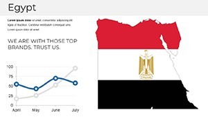
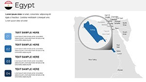
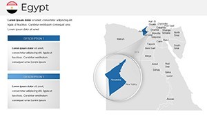
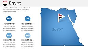
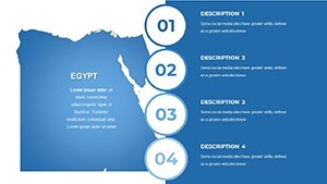
- Text and Photo Integration: Slides 11-20 have resizable text boxes for facts on Luxor temples or Aswan dams, plus photo frames for inserting high-res images of the Sphinx.
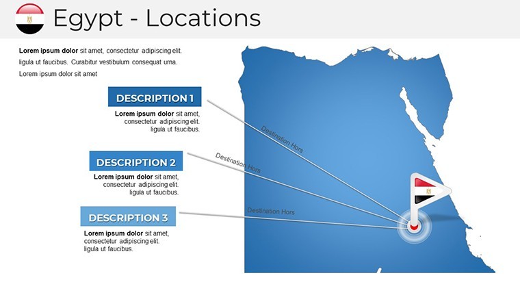
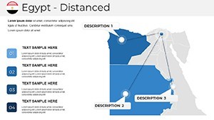
- Animation Effects: Built-in paths for tracing trade routes from ancient Thebes to Alexandria, or custom fades revealing hidden oases - add your own via Keynote's robust tools.
- Vector Icons and PNGs: A library of 40+ icons, including obelisks, feluccas, and camels, all scalable and recolorable for thematic consistency.
This addresses the tedium of manual map creation, incorporating principles from cartographic design experts to ensure your visuals are both informative and aesthetically compelling.
Practical Applications: Heritage Meets Modernity
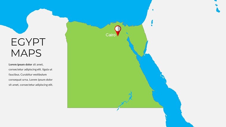
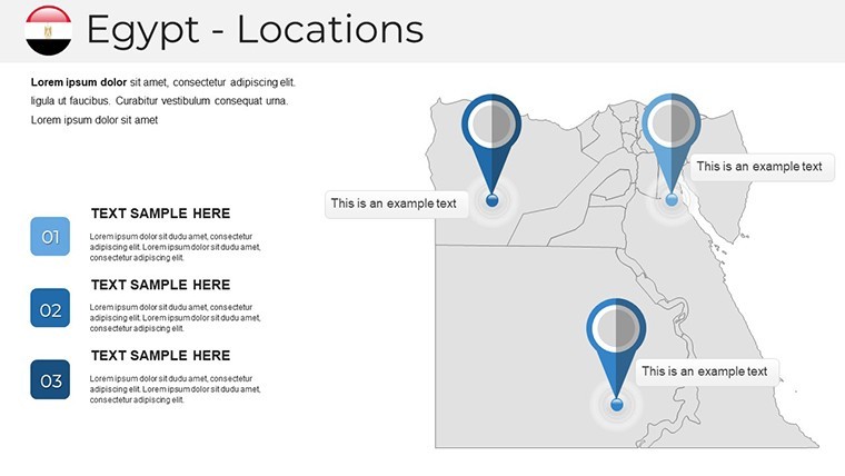
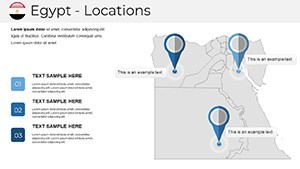
Archaeologists can use slides 21-28 to map excavation sites, layering carbon-dating charts over the Giza plateau for grant proposals - mirroring techniques in recent discoveries like the Lost Golden City. Tour guides might animate Slide 29's Nile cruise itinerary, highlighting stops from Cairo to Abu Simbel, boosting engagement in virtual tours.
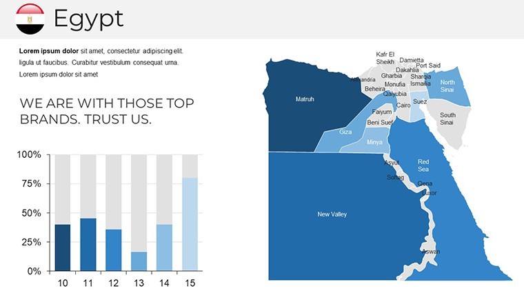
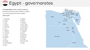
For urban planners preserving heritage, slides 30-36 offer zoning maps for Cairo's historic districts, comparing Ottoman influences with modern expansions. A case in point: presentations for Nile River restoration projects have leveraged similar tools to rally stakeholder support, blending satellite imagery with historical overlays. Educators tracing Egypt's role in Mediterranean trade will find the template's chronological slides invaluable for interactive lessons.
Integration tips: Use Keynote's hyperlinks to jump between map regions; pull data from Egyptian Ministry of Tourism stats; and export animations as videos for social media teasers to extend reach.
Stand Out with Professional Precision
Distinguished by its Egypt-centric details, this template outperforms generic alternatives with 37 slides tuned for Keynote 11+, including ZIP delivery with extras. At $42, it's essential for anyone dealing in Egyptian narratives.
Unlock the secrets of the pharaohs - purchase the Egypt Keynote Maps Template today and craft legacies in every slide.
Frequently Asked Questions
What makes this Egypt map template unique for Keynote?
Its 37 slides feature Egypt-specific geography with editable vectors, animations, and cultural icons for authentic presentations.
Can I customize colors to match a historical theme?
Yes, all elements are fully recolorable, from desert sands to Nile blues, ensuring brand or era alignment.
Does it include support for adding photos of Egyptian sites?
Indeed, slides have dedicated placeholders with masking for seamless integration of your images.
How suitable is it for tourism marketing?
Perfectly - use it to visualize routes and attractions, as seen in successful campaigns for Red Sea resorts.
What's included in the download package?
A .key file with 37 slides, plus vector icons and PNGs for flexibility across tools.
Inspire awe with every detail - start editing your Egyptian epic now.