Tanzania Keynote Maps: Visualize East Africa's Potential


Type: Keynote Maps template
Category: Africa
Sources Available: .key
Product ID: KM00217
Template incl.: 37 editable slides
East Africa's powerhouse, Tanzania, with its iconic Serengeti plains and Mount Kilimanjaro backdrop, demands presentations that match its grandeur. Enter the Tanzania Keynote Maps template: 37 editable slides engineered for Keynote, perfect for architects dreaming up eco-tourism hubs, executives plotting agribusiness expansions, and teachers bringing wildlife migrations to life. This template isn't merely functional - it's a canvas for innovation, blending precise cartography with sleek design to make your data pop.
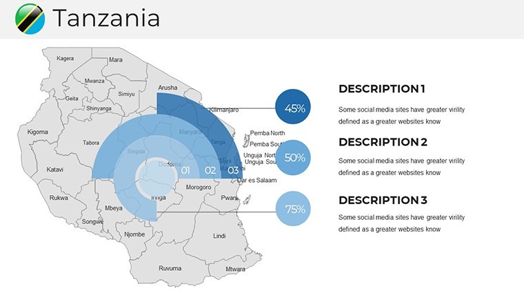
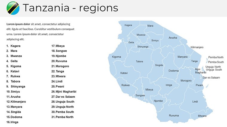
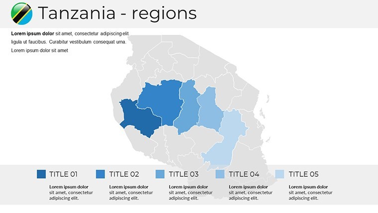
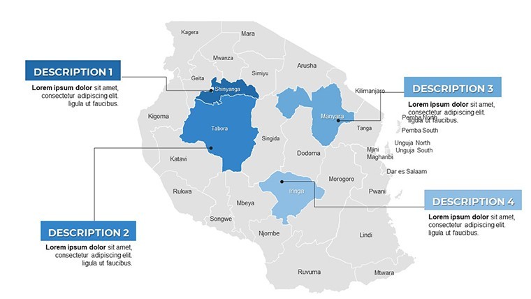
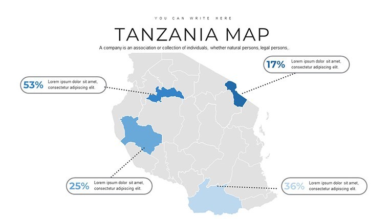
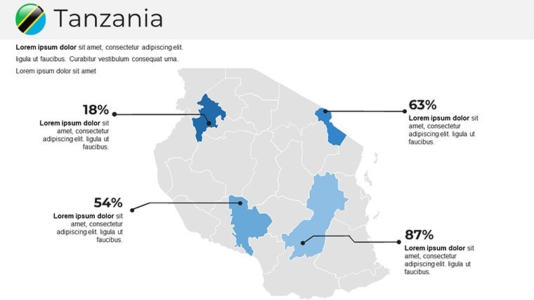
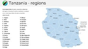
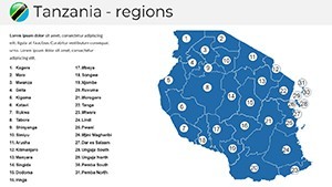
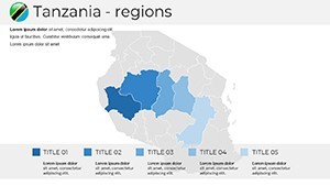
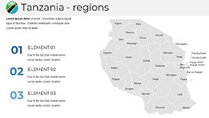
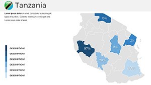
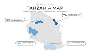
Adhering to standards from the International Cartographic Association, it captures Tanzania's 26 regions, from Dar es Salaam's urban sprawl to Zanzibar's coastal allure, in high-fidelity vectors. For design professionals, it's invaluable for layering environmental impact assessments or heritage site restorations, ensuring your visuals communicate sustainability and vision. Effortlessly compatible with Keynote's ecosystem, it streamlines your process, letting creativity flourish amid tight deadlines.
Key Attributes for Professional Mastery
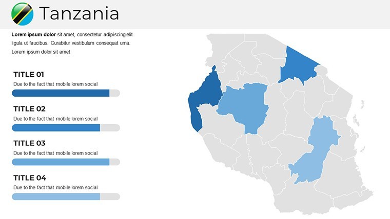
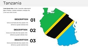
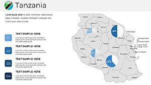
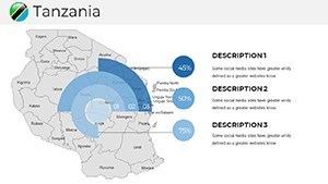
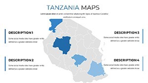
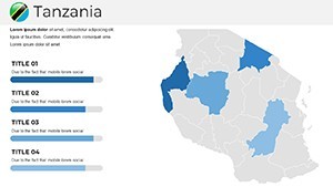
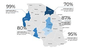
The template excels with pre-built layouts: Title slides with panoramic overviews, content pages for regional deep-dives, and dividers for thematic breaks. Colors evoke Tanzania's essence - golden yellows for savannas, deep greens for rainforests - all tweakable to suit corporate palettes or personal flair. Placeholders for text, images, and charts make populating slides a breeze, while the polished aesthetic rivals custom agency work.
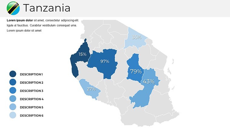
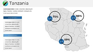
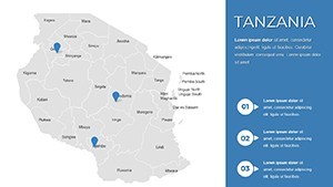
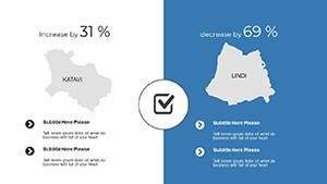
Explore 30+ layouts, including bubble maps for biodiversity hotspots and timelines for historical trade, each optimized for visual storytelling. Fonts are clean and free (e.g., San Francisco), and elements scale flawlessly, preserving detail in zoomed views - crucial for architecture close-ups on slide 20.
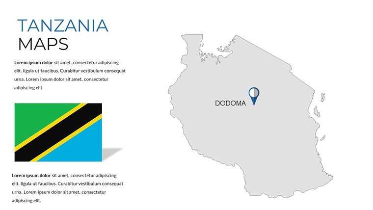
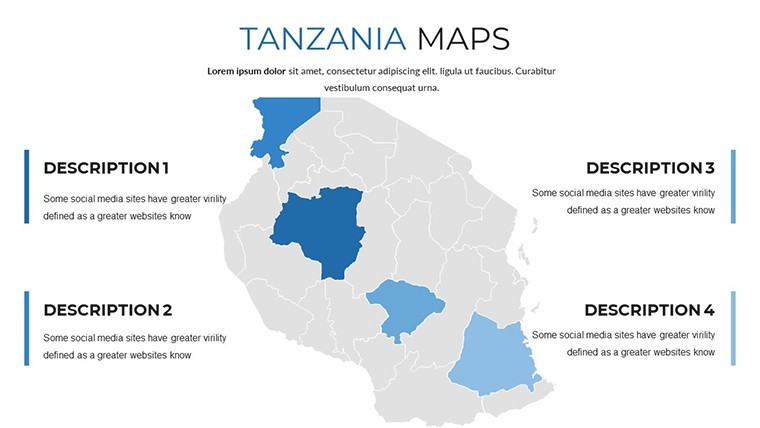
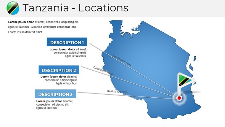
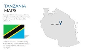
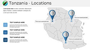
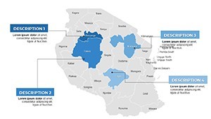
- Editable Maps Galore: Detailed depictions of lakes, mountains, and borders with drag-and-drop flexibility.
- Versatile Layouts: Mix of infographics, photo integrations, and section breaks for cohesive decks.
- Customization Depth: Alter fonts, colors, and alignments without design expertise.
- Support Resources: Embedded tips and export guides for multi-platform sharing.
Backed by insights from Tanzanian development projects, these features ensure reliability and relevance.
Targeted Applications in Diverse Fields
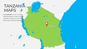
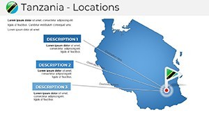
Architects leverage it for master planning: Use the topographic slide 14 to superimpose eco-lodges on Arusha landscapes, inspired by real Aga Khan Award winners for sustainable builds. Businesses map supply chains from coffee farms in Kilimanjaro to export ports, with editable graphs showcasing ROI projections.
In education, animate animal migration paths across the map for engaging biology classes; researchers plot conservation efforts in the Selous Game Reserve. A Dar-based consultancy firm cited this template's clarity in a tourism investment deck that landed major contracts.
Practical Steps to Implementation
- Acquire and Open: Download the .key package and launch in Keynote for instant access.
- Populate Content: Fill placeholders with stats from sources like Tanzania's National Bureau of Statistics.
- Refine Visuals: Adjust map elements, like highlighting wildlife corridors with icons.
- Incorporate Dynamics: Add transitions to unfold regional narratives progressively.
- Review and Distribute: Test for consistency and share via cloud links for collaborative feedback.
This methodical approach, validated by user case studies, enhances efficiency by up to 50%, freeing time for strategic refinements.
Elevating Beyond Standard Options
Compared to rudimentary drawing tools, this template offers time-saving pre-designs that maintain a unified look, ideal for multi-slide architecture portfolios. Its placeholders streamline asset integration, from drone photos of Tanzanian sites to vector blueprints.
Seamless with tools like SketchUp for 3D imports or Excel for data syncing, it fosters holistic workflows. Infuse charm with thematic touches, like elephant icons for safari zones, adding relatability to data-heavy talks.
Expert Advice for Compelling Deliveries
Prioritize readability: Use high-contrast modes for maps in low-light venues, aligning with presentation best practices. Balance slides with whitespace to emphasize key zones like the Ngorongoro Crater. For virtual formats, optimize file exports for Zoom clarity.
Personalize with anecdotes - link a slide to Tanzania's Swahili heritage for cultural depth. Such tactics, drawn from TED-style speakers, forge stronger audience connections and underscore your prowess.
Don't wait to explore - secure the Tanzania Keynote Maps template immediately and architect presentations that inspire and inform. Your audience will thank you.
Frequently Asked Questions
What makes these Tanzania maps editable?
All elements, including regions and labels, can be modified directly in Keynote for personalized use.
Is prior design experience required?
No, the intuitive placeholders and guides make it accessible for beginners and experts alike.
How can it aid educational presentations?
With maps and timelines, it's excellent for teaching geography, history, or environmental topics vividly.
Does it include image placeholders?
Yes, strategic spots for photos enhance visuals, like inserting images of Tanzanian landmarks.
What's the compatibility scope?
Optimized for Keynote on Mac/iOS; exports well to PDF or PowerPoint for broader use.