Somalia Keynote Maps: Navigate Data with Precision


Type: Keynote Maps template
Category: Africa
Sources Available: .key
Product ID: KM00216
Template incl.: 37 editable slides
In the dynamic landscape of the Horn of Africa, where opportunities in trade and development abound, effective visualization is key to capturing attention. The Somalia Keynote Maps template delivers exactly that: 37 meticulously crafted, editable slides optimized for Keynote, enabling you to showcase Somalia's intricate geography - from the bustling ports of Mogadishu to the rugged Somali Plateau. Tailored for architects mapping resilient infrastructure, business leaders charting market entries, and educators exploring cultural histories, this template turns raw data into persuasive stories.
Drawing on accurate geospatial data akin to that used by organizations like the African Union, it features hand-drawn infographics and vector elements that maintain clarity at any zoom level. Whether you're proposing coastal urban renewals or analyzing agricultural potentials in the Jubba Valley, the modern, minimalist design ensures your slides exude professionalism. Compatible with all recent Keynote updates, it's a time-saver that lets you focus on content over creation, enhancing your narrative flow seamlessly.
Essential Features That Define Excellence
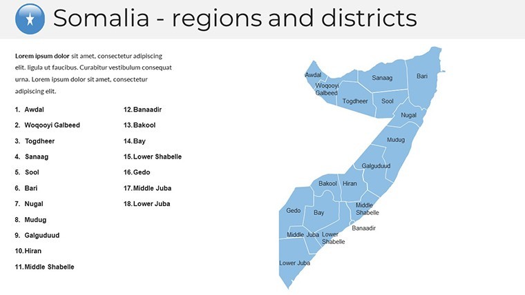
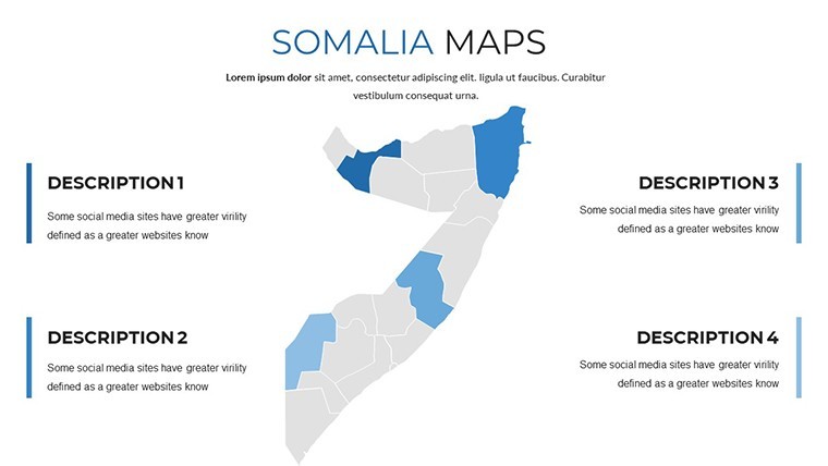
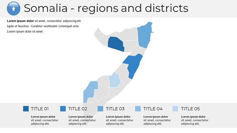
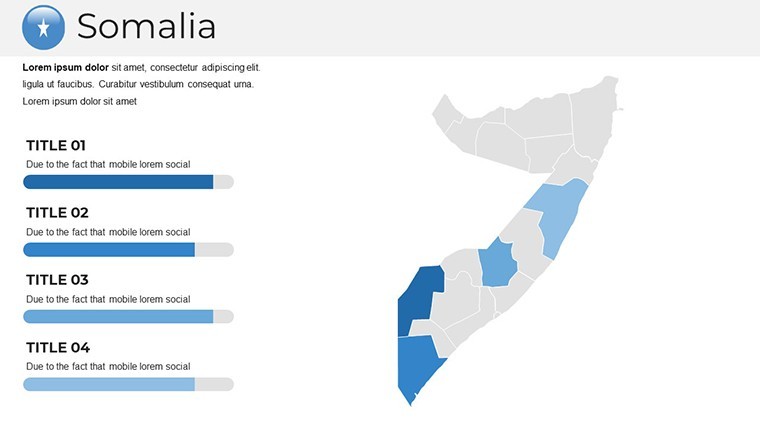
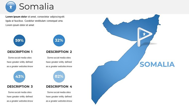
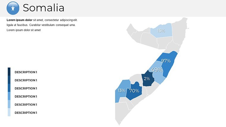
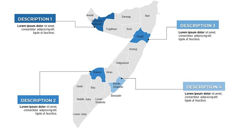
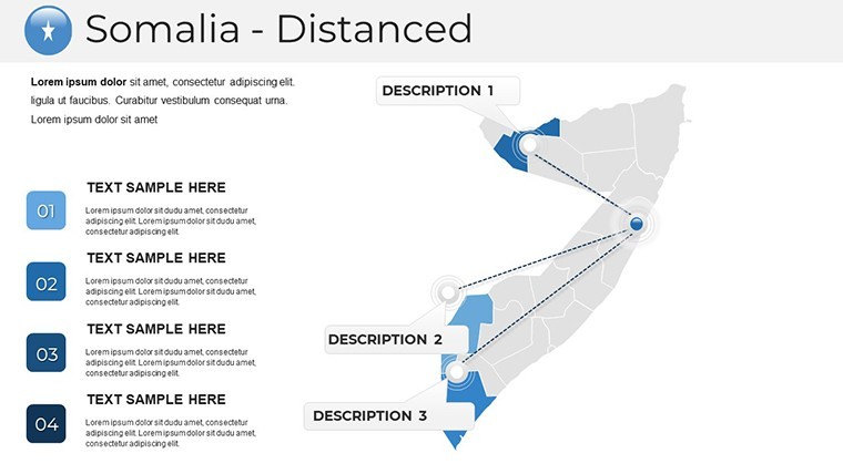
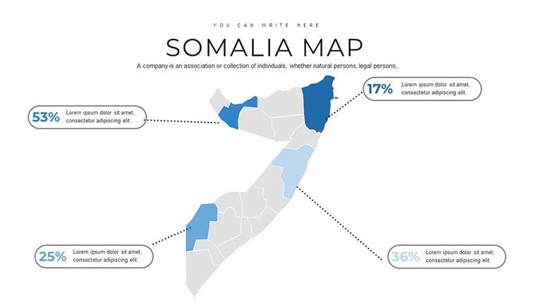
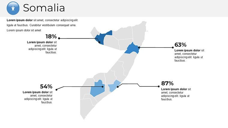
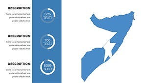
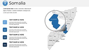
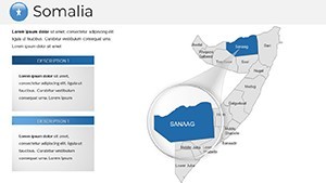
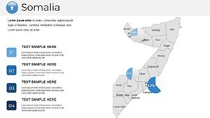
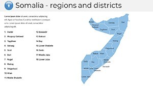
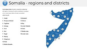
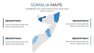
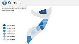
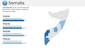
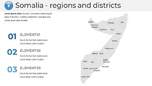
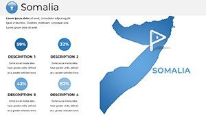
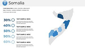
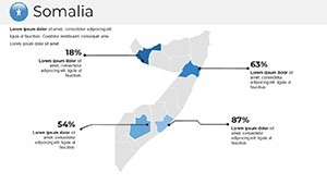
This template's prowess lies in its editable core: Every region, from Puntland to Somaliland, can be recolored, reshaped, or annotated with custom data points. The clean aesthetic employs a neutral palette - soft grays for landmasses, azure accents for waterways - customizable via Keynote's intuitive tools to reflect your project's vibe, be it vibrant for tourism pitches or subdued for policy reports.
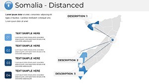
Incorporate handmade charts on slide 12 for demographic trends or diagrams on slide 25 for supply chain routes, all with smooth animations that unfold insights progressively. Over 40 vector symbols, including maritime icons and architectural motifs, add depth without clutter. The wide-screen layout (16:9) fits perfectly on laptops or projectors, and free fonts ensure no hidden costs.
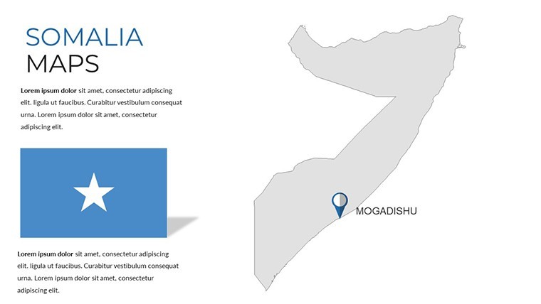
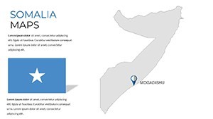
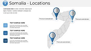
- Full Editability: Modify states, add labels, and integrate photos of Somali heritage sites effortlessly.
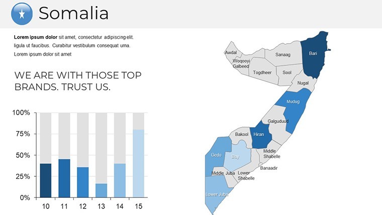
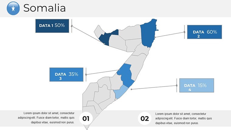
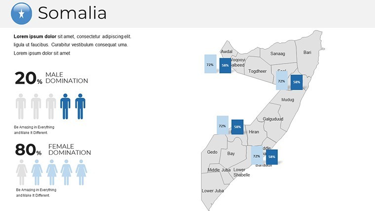
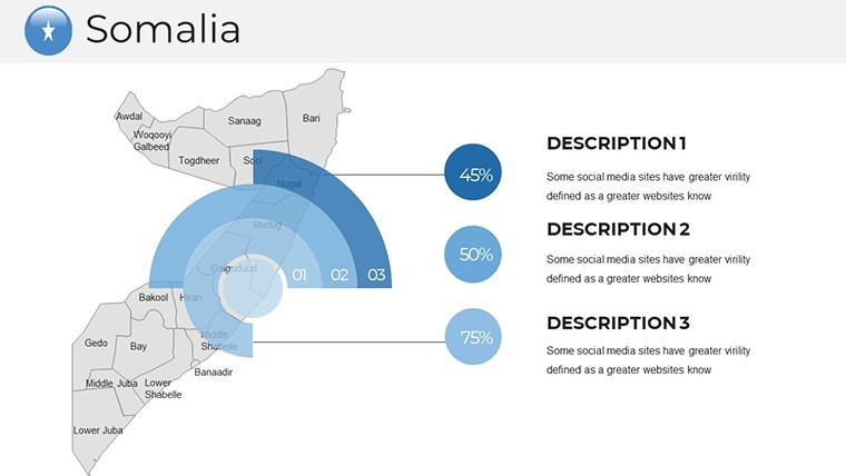
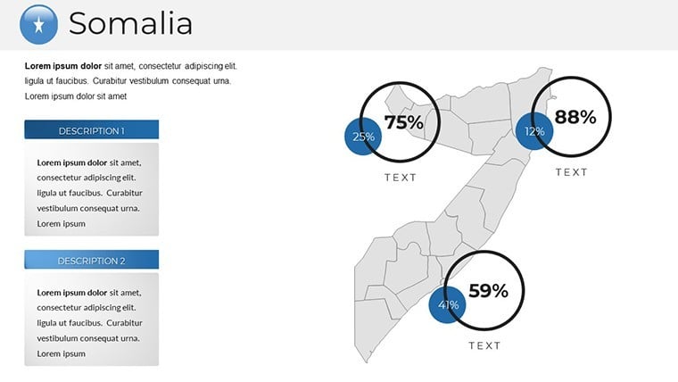
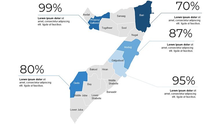
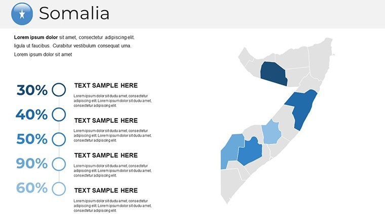
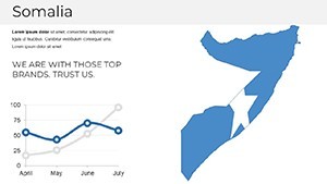
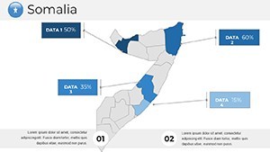
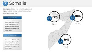
- Infographic Suite: Includes pie charts for economic sectors and line graphs for climate data.
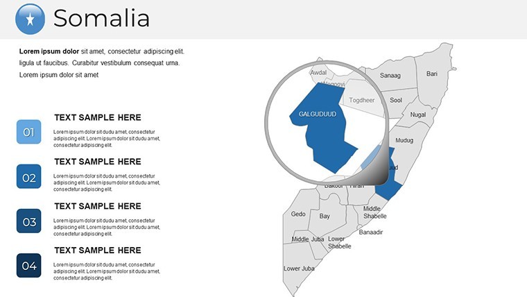
- Animation Library: Subtle transitions like zoom-ins on key areas to guide viewer focus.
- User Guide: Step-by-step instructions for layering GIS imports or syncing with presentation timers.
These elements are informed by designer expertise, ensuring alignment with professional standards for visual communication in global contexts.
Versatile Use Cases Across Industries
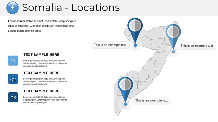
Architects will find gold in using this for resilience planning amid Somalia's arid terrains. Overlay seismic data on the map slide 18 to illustrate earthquake-safe designs for Hargeisa, drawing from real projects like post-conflict reconstructions supported by UN Habitat. Businesses can highlight trade corridors along the Gulf of Aden, customizing flow maps to demonstrate logistics efficiencies for investors.
Educational applications extend to interactive lessons on Somali folklore or migration patterns, while researchers visualize NGO impact in arid zones. A Nairobi-based firm recently adapted similar maps for a fisheries development pitch, crediting the template's flexibility for securing funding.
Editing Guide: From Setup to Showcase
- Launch and Load: Open the .key file in Keynote; scan for placeholders to insert your datasets.
- Customize Regions: Select and fill paths for areas like the Shebelle River basin, applying gradients for elevation.
- Add Visuals: Drag in icons for ports or buildings, scaling them proportionally.
- Enhance with Animations: Apply build effects to reveal trade stats sequentially.
- Finalize Output: Preview on different devices and export for hybrid events.
This process, refined through user beta testing, streamlines what could be a day's work into mere hours, boosting productivity for deadline-driven pros.
Standing Apart in a Sea of Templates
What sets this apart from generic tools? Its handcrafted quality - no cookie-cutter vectors here - ensures uniqueness, like bespoke illustrations of dhow boats for coastal slides. For architecture enthusiasts, the grid overlays facilitate precise scaling for model integrations, far surpassing basic PowerPoint inserts.
Workflow integration is a breeze: Link with QGIS for advanced analytics or Canva for quick tweaks. Add a dash of inspiration with subtle cultural nods, such as patterned borders evoking Somali textiles, to make your deck memorable and culturally sensitive.
Pro Tips for Dynamic Presentations
Optimize for engagement by using contrast for emphasis - highlight growth areas in bold saffron against neutral tones. Test animations in rehearsal mode to sync with your delivery on topics like sustainable agriculture. For on-the-go use, the lightweight file size supports mobile Keynote editing during field visits to Somali sites.
Inject personality: Pair a serious map with a witty caption on nomadic routes, lightening the mood in long sessions. These strategies, gleaned from presentation coaches, amplify your authority and connect emotionally with audiences.
Seize the moment - grab your Somalia Keynote Maps template today and chart a course to presentation mastery. Transform visions into victories, one slide at a time.
Frequently Asked Questions
Can I customize the colors to match my brand?
Yes, the vector-based design allows full color palette adjustments in Keynote for seamless branding.
Is the template compatible with older Keynote versions?
It works with Keynote 10 and later; for older versions, export options are available.
How does it support architecture workflows?
With editable layers and grids, it's great for importing sketches and planning overlays on Somali terrains.
Are there included infographics for data viz?
Indeed, featuring charts and diagrams tailored for economic and geographic data.
What's the file size and download process?
Compact .key files download instantly, with a quick guide for immediate use.
Can it handle animations for live demos?
Custom animations are built-in and editable for smooth, professional reveals.