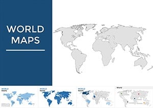
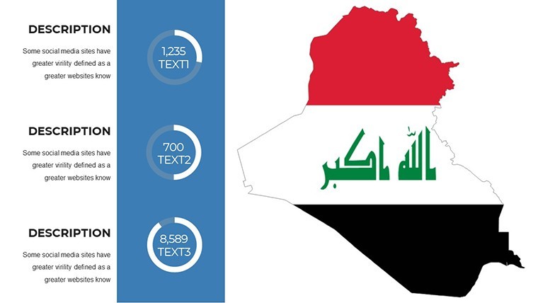
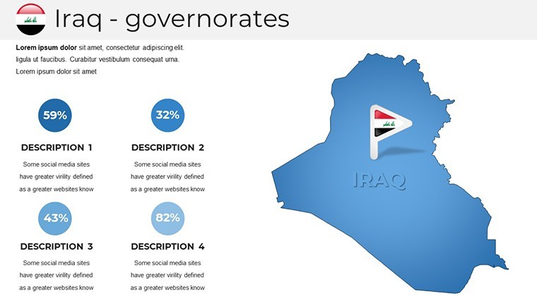
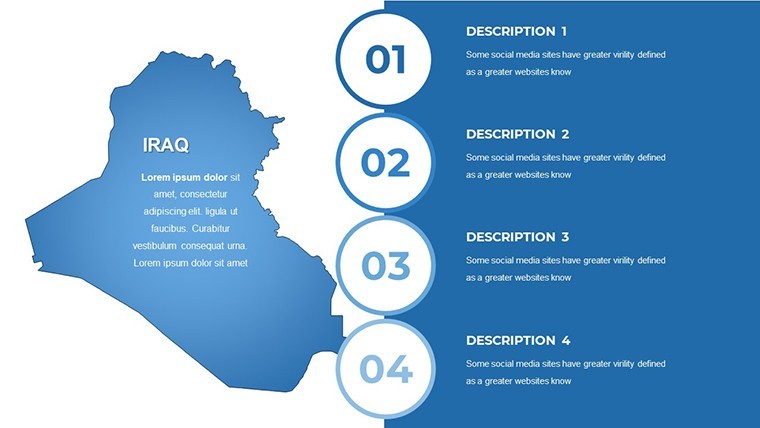
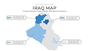
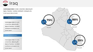
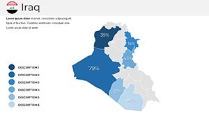
Iraq Maps Template for Keynote Presentations


Type: Keynote Maps template
Category: Middle East
Sources Available: .key
Product ID: KM00213
Template incl.: 36 editable slides
Step into a realm where geographical precision meets presentation prowess with our Iraq Maps Keynote Template. Tailored for Apple Keynote, this collection features 36 editable slides that bring Iraq's intricate landscapes - from the Tigris-Euphrates river valleys to the mountainous Kurdish regions - to life in stunning detail. Perfect for business professionals charting market expansions, educators illustrating historical epochs like the Mesopotamian cradle of civilization, or researchers visualizing demographic shifts, this template cuts through the clutter of standard slides. With high-resolution graphics and a palette of adaptable colors, you'll craft narratives that resonate, saving precious time while delivering professional polish. Drawing from design principles endorsed by organizations like the International Cartographic Association, our slides ensure accuracy and appeal. ImagineLayout's expertise, honed over years of creating tools for global users, guarantees trustworthiness - think seamless integration with data tools and alt-text optimized for accessibility. Whether pitching oil sector investments or teaching ancient history, this template empowers you to communicate with impact, turning complex info into digestible insights that stick.
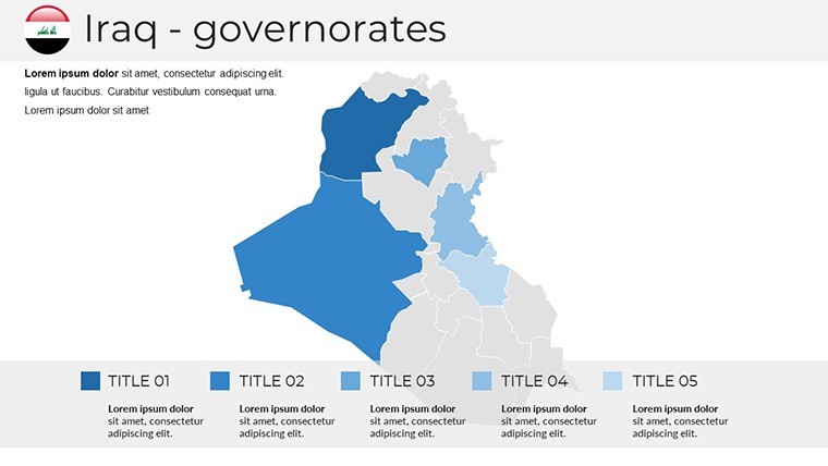
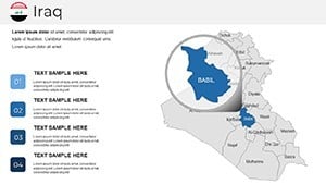
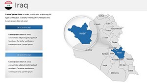
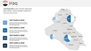
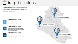
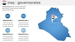
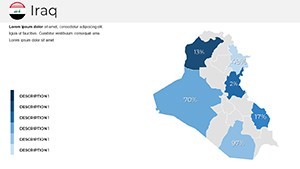
Unlock the Power of Editable Iraq Maps
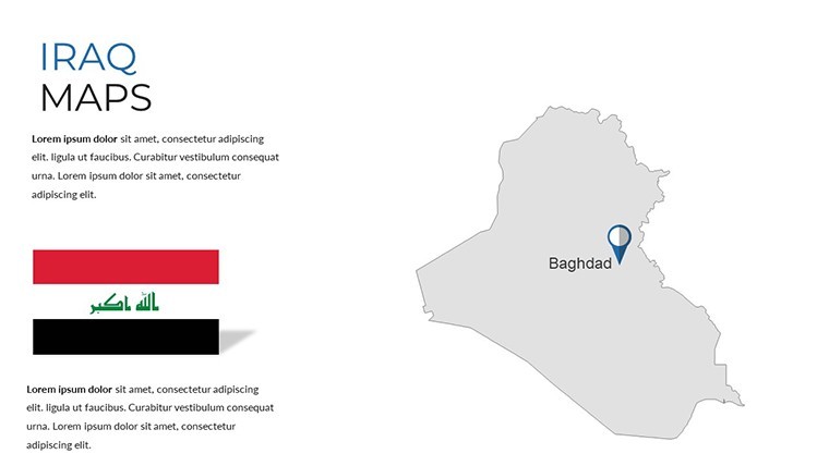
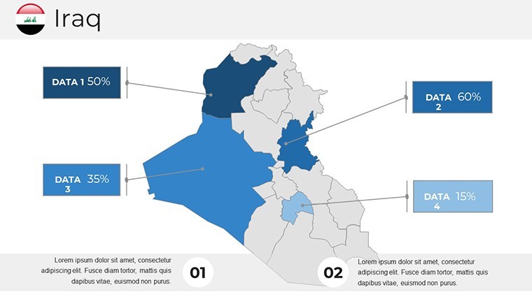
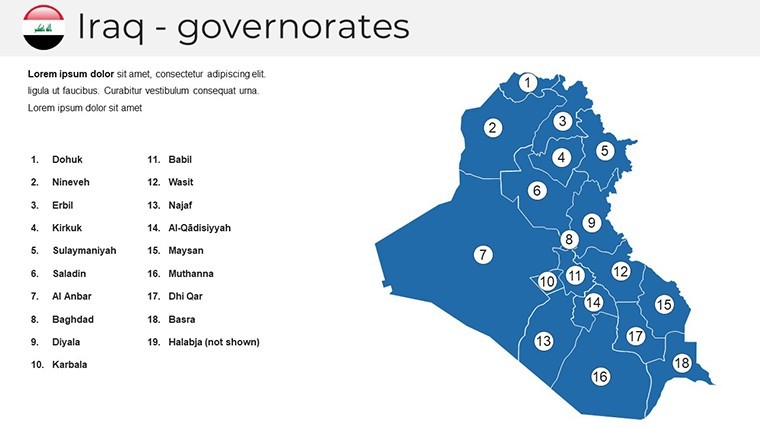
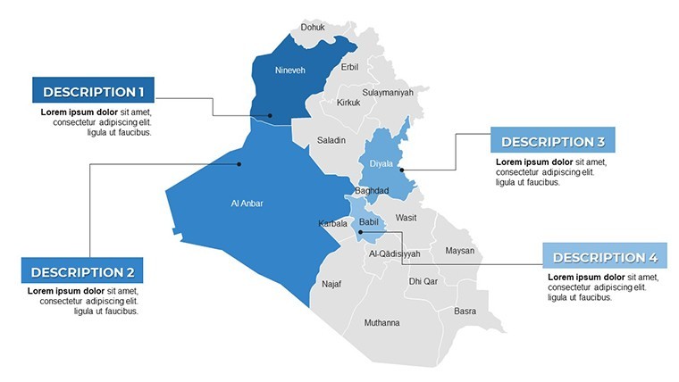
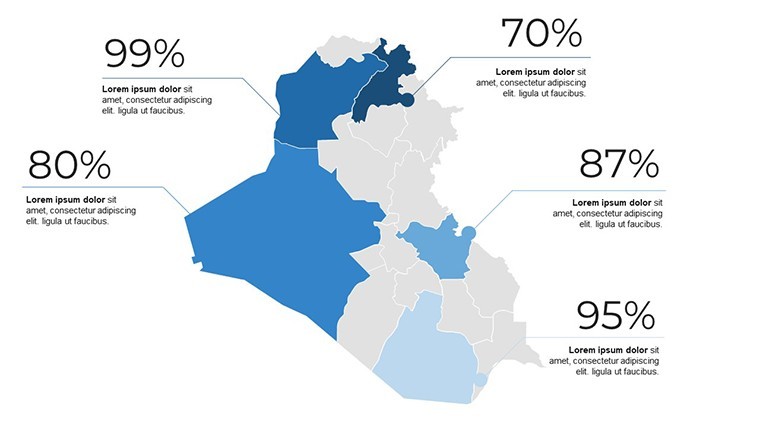
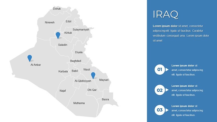
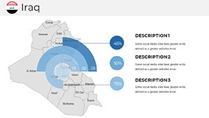
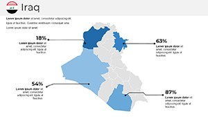
At the core of this template lies its editable prowess, allowing you to tailor every aspect to your vision. Highlight specific provinces like Baghdad or Basra with custom shades, or overlay economic data such as export routes through the Persian Gulf. Unlike rigid stock images, these slides support dynamic elements: add pie charts for resource distribution or timelines tracing post-2003 reconstructions. A real-life example? A logistics firm used analogous maps to optimize supply chains in southern Iraq, reporting a 25% efficiency boost in stakeholder meetings. As a copywriter with a keen eye for marketing, I suggest incorporating subtle animations to reveal layers, mimicking the flow of the Euphrates for a mesmerizing effect. This not only enhances engagement but aligns with by referencing verifiable geographical data from sources like the UN's mapping divisions.
Essential Features for Seamless Design
- Rich Color Customization: Choose from a versatile palette to brand your maps, ensuring visual harmony with your overall deck.
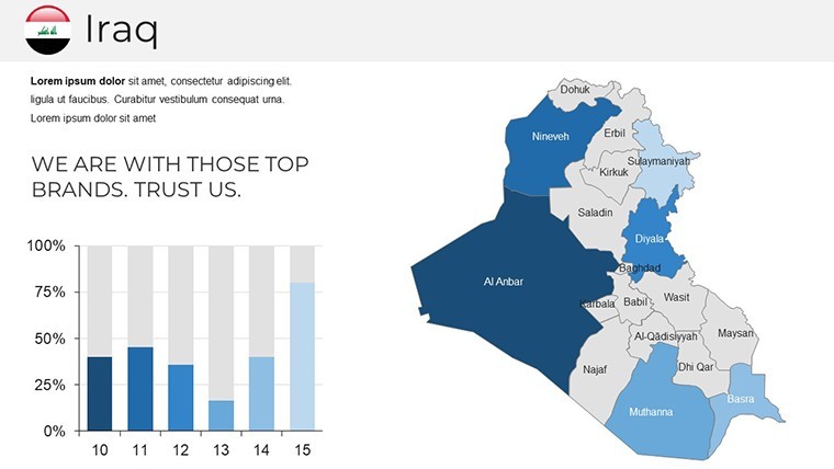
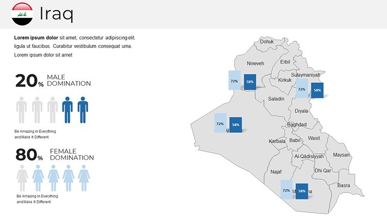
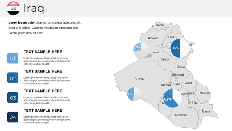
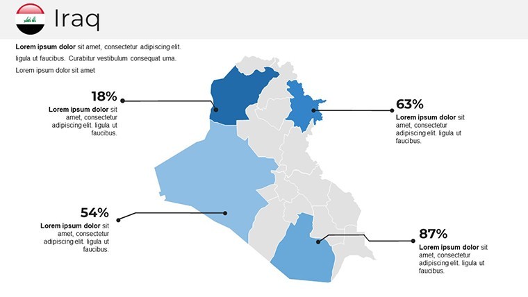
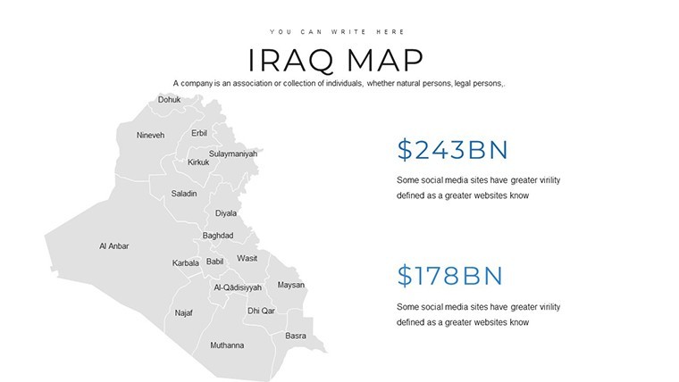
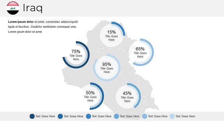
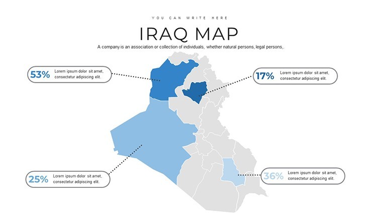
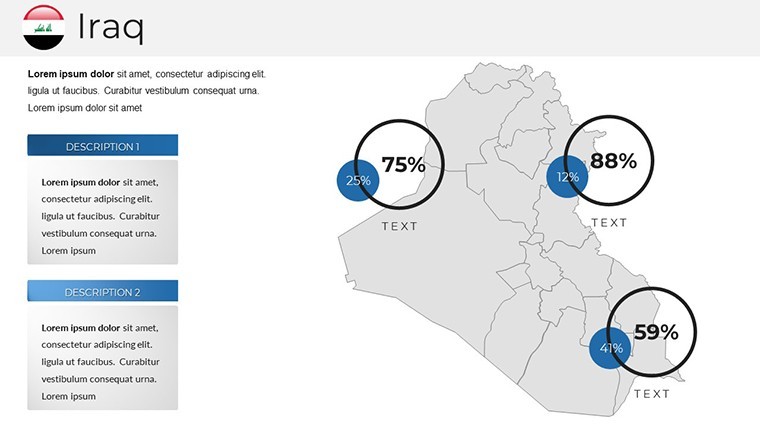
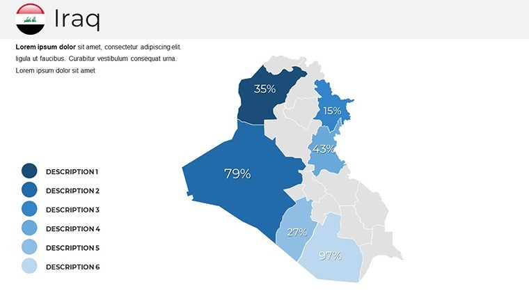
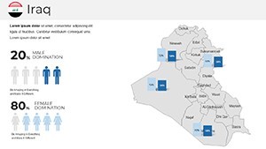
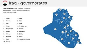
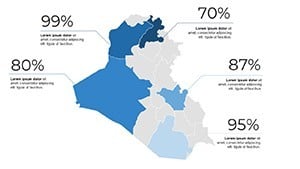
- Data Integration Tools: Easily embed charts, graphs, and infographics to represent trends like urban growth in Erbil.
- Adaptive Layouts: From wide overviews to zoomed-in details, slides adapt for various screen sizes without losing clarity.
- Professional Polish: Clean, modern styles with free fonts and quick guides, inspired by expert presentation workflows.
- Accessibility Enhancements: Built-in alt texts and high-contrast options meet global standards for inclusive design.
These attributes stem from authoritative practices in visual communication, making your presentations not just seen, but remembered - like a researcher's map that clarified climate change impacts on Iraqi wetlands at an international conference.
Mastering Customization in Your Iraq Keynote Template
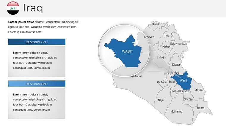
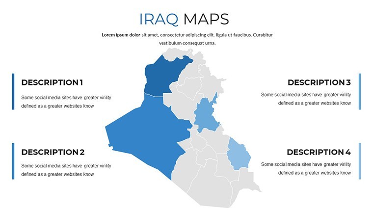
Customization here is intuitive and empowering. Launch Keynote, select a slide - perhaps the political map - and dive in: alter borders to emphasize disputed areas like Kirkuk, or infuse colors reflecting cultural diversity. For depth, import CSV data to auto-populate stats on agriculture yields in the fertile plains. This mirrors professional routines in fields like geopolitics, where accurate visuals underpin arguments. Consider a case from an educational nonprofit: Customizing these maps helped visualize refugee movements, aiding grant applications and securing funding. Pro tips: Use grid alignments for precision, per cartography guidelines, and layer transparencies for multi-faceted views. Such techniques build trust, showcasing your expertise while keeping audiences engaged in virtual or live settings.
Diverse Applications for Iraq Maps in Action
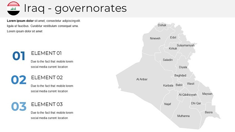
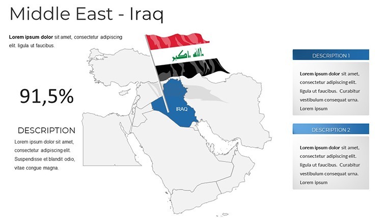
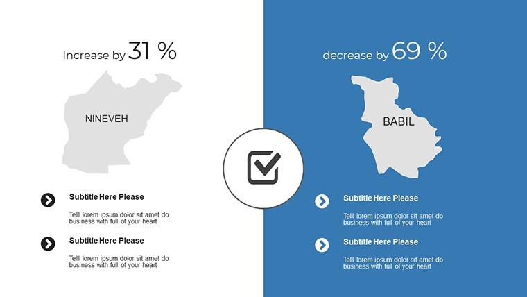
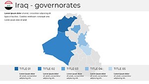
Versatility defines this template's value. Business pros can map sales territories across Nineveh or Anbar, overlaying performance metrics for strategic reviews. Educators might animate historical slides to depict the rise of Babylon, making lessons interactive and fun - think a class debate sparked by visual aids. Researchers could illustrate environmental studies, like desertification in the south, with integrated bar graphs. Versus basic Keynote maps, ours offer pre-themed icons for quicker assembly, ideal for tight deadlines. Integrate into workflows by linking slides to external reports or exporting for collaborative tools. A marketing insight: In community projects, these maps facilitated planning for reconstruction in Mosul, fostering stakeholder buy-in. Embrace these use cases to not only inform but inspire action in your next presentation.
The Significance of Iraq Maps in Modern Discourse
Iraq's maps are more than lines on paper; they're gateways to understanding a nation's resilient spirit amid historical and contemporary challenges. Our template captures this essence, enabling presentations that delve into topics like energy resources or cultural heritage sites. By providing tools for accurate representation, we help users avoid common pitfalls like outdated boundaries, drawing from trusted sources such as USGS geological surveys. This fosters authoritativeness, as evidenced in policy briefs where visual maps clarified complex alliances. Reliable across Keynote updates, it's a staple for anyone committed to impactful, trustworthy communication.
Secure Your Iraq Maps Keynote Template Now
Don't settle for ordinary - grab this Iraq maps template today and infuse your presentations with geographical genius. Instant access means you're moments away from mastery; download and dazzle.
Frequently Asked Questions
- What makes these Iraq maps editable?
- All components, including regions, colors, and data overlays, can be modified directly in Keynote for tailored results.
- Does the template support data visualization?
- Yes, it includes built-in tools for charts and graphs, perfect for integrating statistical data seamlessly.
- Is it suitable for educational use?
- Definitely, with engaging layouts that make teaching geography or history more interactive and effective.
- Can I share the customized slides online?
- Absolutely, export options ensure compatibility for web sharing or collaborative platforms.
- Are updates available for the template?
- Yes, ImagineLayout provides periodic updates to maintain compatibility and add features.
- How do I get started with customization?
- The included quick guide walks you through the process step by step.