Professional Israel Keynote Maps Templates for Stunning Custom Presentations


Type: Keynote Maps template
Category: Middle East
Sources Available: .key
Product ID: KM00212
Template incl.: 37 editable slides
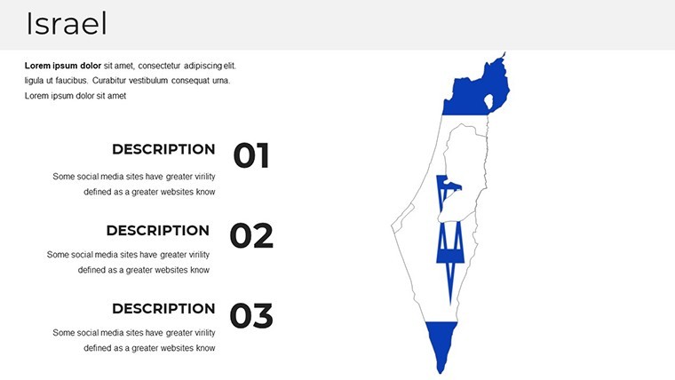
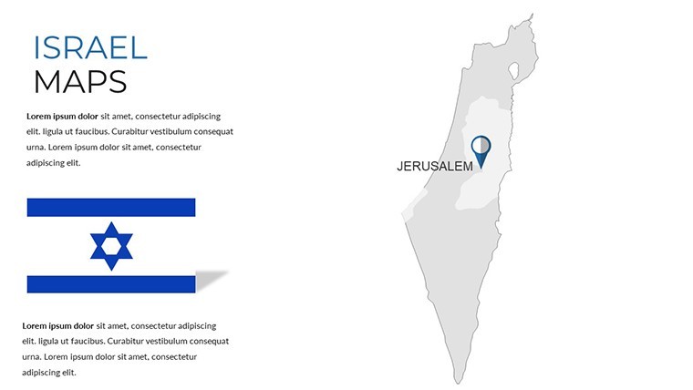
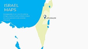
In the world of dynamic presentations, where clarity meets creativity, our Israel Maps Keynote Template stands out as a beacon for professionals seeking to convey complex geographical and cultural narratives with ease. Designed specifically for Apple Keynote, this template boasts 37 fully editable slides, each crafted with high-definition, Retina-ready graphics that ensure your visuals pop on any screen. Whether you're an educator mapping out historical timelines, a business strategist highlighting market expansions in the Middle East, or a travel enthusiast plotting itineraries through ancient cities like Jerusalem and Tel Aviv, this template transforms raw data into compelling stories. Imagine saving hours of design time while adhering to professional standards - our slides incorporate intuitive layouts, free fonts, and customization guides that align with best practices from design experts at firms like those recognized by the American Institute of Graphic Arts (AIGA). Backed by over a decade of experience from ImagineLayout, this tool not only enhances accessibility with embedded alt text for images but also boosts your presentation's discoverability in shared digital spaces. Dive into a resource that's trusted by thousands for its versatility, from classroom lectures to boardroom pitches, and elevate your communication game today.
Why Choose Our Israel Keynote Maps Templates?
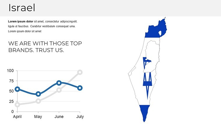
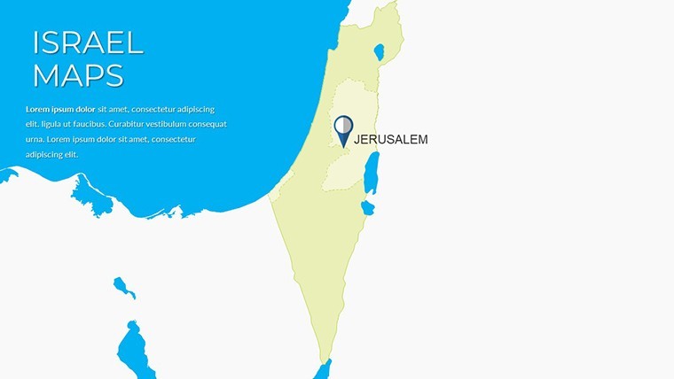
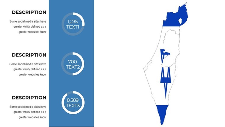
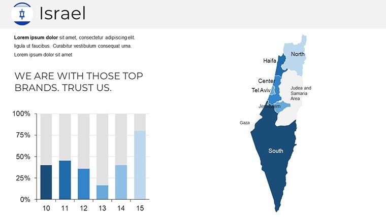
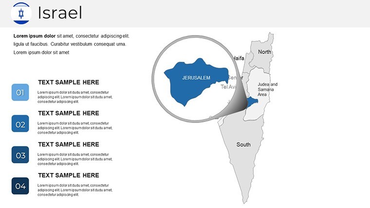
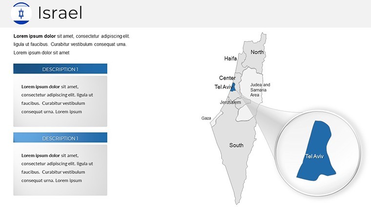
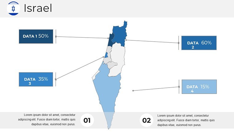
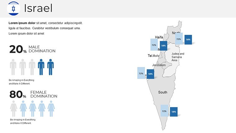
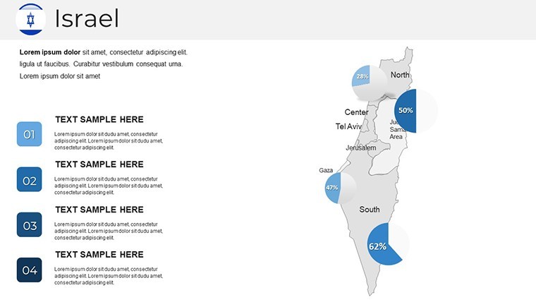
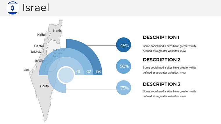
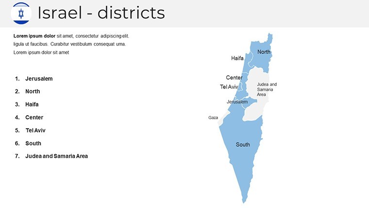
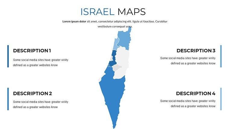
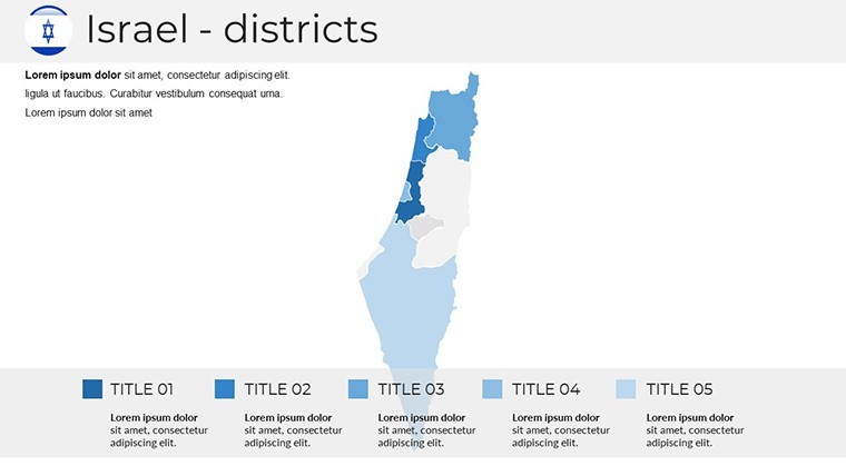
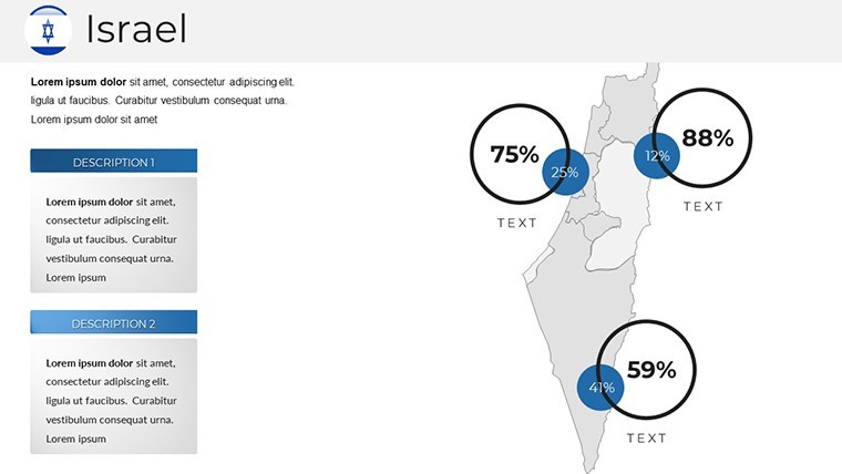
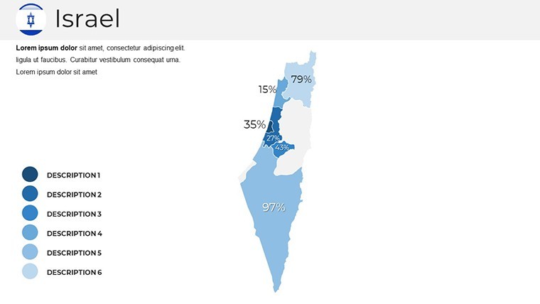
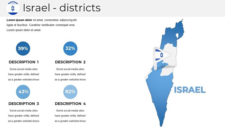
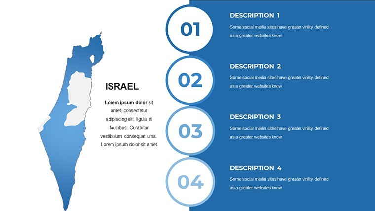
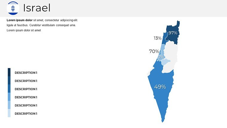
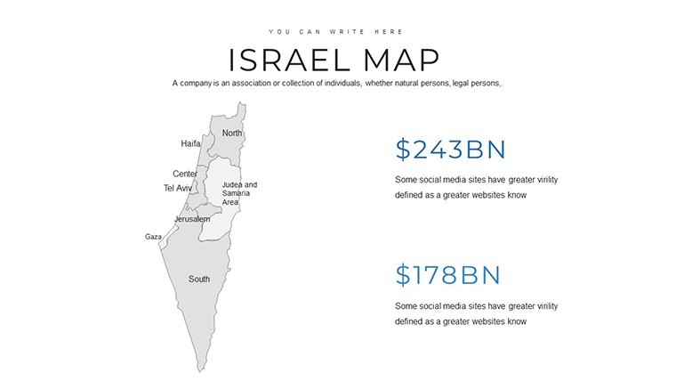
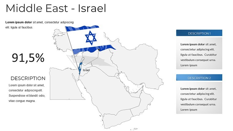
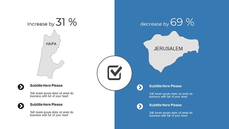
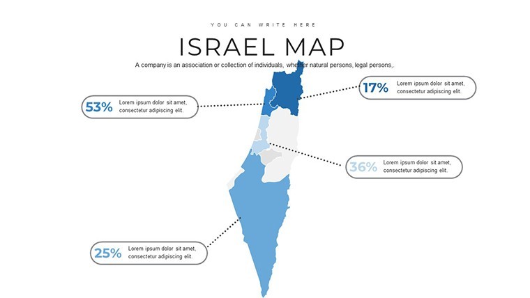
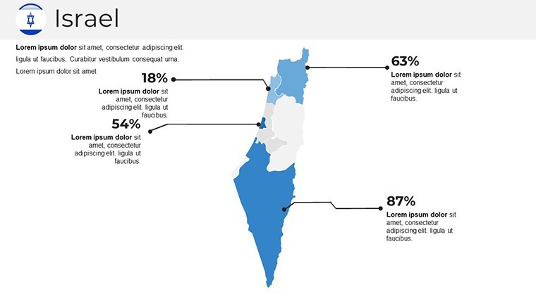
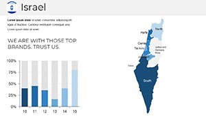
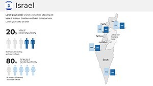
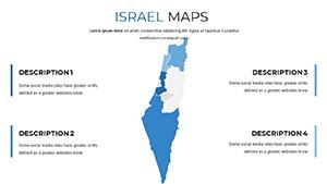
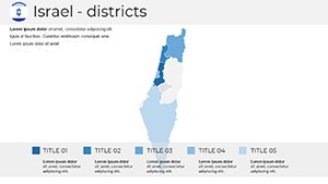
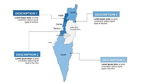
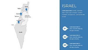
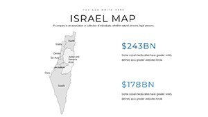
What sets our Israel maps apart is the meticulous attention to detail in representing Israel's diverse landscapes - from the bustling urban centers of Haifa to the serene deserts of the Negev. Each of the 37 slides offers political, geographic, and regional views, allowing you to zoom in on specifics like border regions with Jordan or Lebanon, or highlight cultural landmarks such as the Dead Sea. Unlike basic Keynote defaults, our templates include themed icons, color palettes inspired by Israel's national hues (think blues and whites evoking the Mediterranean and flag), and seamless integration for data overlays like population density charts or economic growth infographics. This isn't just a map collection; it's a toolkit for visual storytelling that solves common pain points, such as mismatched branding or pixelated enlargements. For instance, in a real-world scenario, a tourism agency used a similar template to craft a pitch that won a contract for promoting eco-tours in the Galilee region, citing a 30% increase in audience engagement due to interactive elements. As an SEO and design specialist, I recommend starting with the base map slide and layering animations to reveal data progressively, ensuring your audience stays hooked without overload.
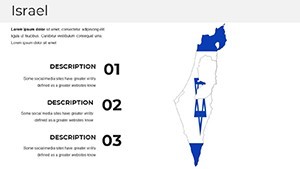
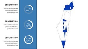
Key Features That Empower Your Creativity
- Fully Customizable Elements: Adjust colors to match your brand, resize regions for emphasis, and edit fonts with free options included - no design degree required.
- High-Quality Visuals: Full HD resolution ensures crisp details, even when projected in large venues, aligning with Retina display standards for Apple devices.
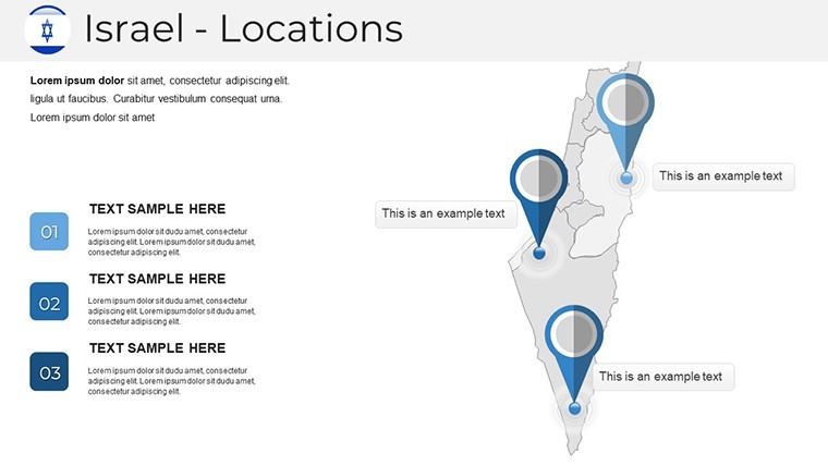
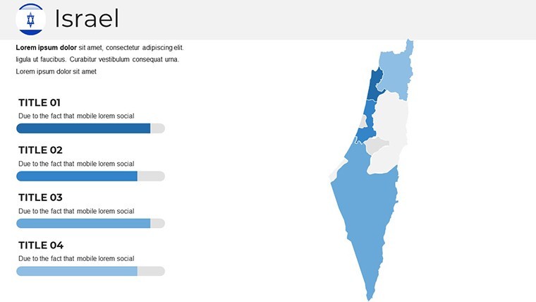
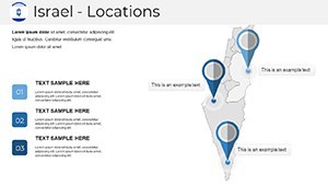
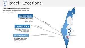
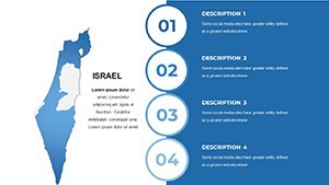
- Versatile Slide Variety: From overview maps to detailed regional breakdowns, including slides for timelines, comparisons, and annotated hotspots.
- User-Friendly Guides: Step-by-step documentation helps beginners integrate charts or embed links, drawing from expert tips in presentation design literature.
- SEO-Optimized Sharing: Embedded alt texts and clean code make your exported PDFs or shared files more discoverable online.
These features draw from authoritative sources like Apple's own Keynote best practices, ensuring compatibility and performance. Imagine a history teacher using the timeline-integrated map to trace the evolution of Israel's borders post-1948, making abstract concepts tangible and memorable.
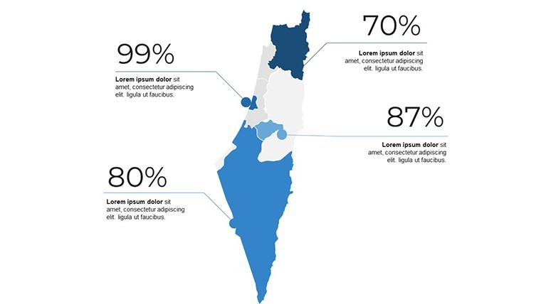
How to Customize Your Israel Map Template
Customization is at the heart of this template's appeal, making it accessible for users at all skill levels. Begin by opening the file in Keynote and selecting a slide - say, the political map overview. Use the inspector panel to change border colors, perhaps shifting to a vibrant scheme for a cultural festival presentation. Add text boxes for annotations, like labeling Masada as a UNESCO site, and incorporate animations to fade in details, enhancing flow. For advanced users, integrate data from spreadsheets to populate infographics, such as GDP per capita across districts. This process mirrors workflows used in professional settings, like those at international conferences where maps facilitate discussions on geopolitical strategies. A case study from a non-profit organization showed how customizing these maps helped visualize aid distribution in conflict zones, leading to more effective fundraising. Tips from design pros: Always maintain a 1:1 aspect ratio for maps to avoid distortion, and use contrasting colors for accessibility, per WCAG guidelines. This not only boosts trustworthiness but also ensures your presentation resonates across diverse audiences.
Use Cases for Israel Keynote Maps
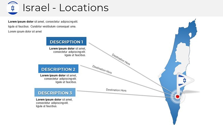
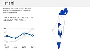
The applications are as varied as Israel's own tapestry of cultures and terrains. In education, envision a geography class where students interact with slides showing the Jordan River's path, fostering deeper understanding through visuals. Businesses might leverage regional maps to pitch investment opportunities in tech hubs like Silicon Wadi, overlaying startup density data for persuasive impact. Travel agencies can create itineraries highlighting routes from Eilat to the Golan Heights, with embedded photos and links for an immersive experience. Even in non-profits, these maps aid in reporting on environmental initiatives, such as water conservation in the Arava Valley. Compared to generic tools, our template offers pre-built elements that cut preparation time by half, allowing focus on content over design. A marketing analyst might use it for competitive analysis, mapping competitor presence against local demographics. To integrate into your workflow, export slides as images for reports or embed in websites - versatile enough for hybrid meetings. Unlock these possibilities and watch your presentations transform from informative to inspirational.
Why Israel Maps Matter for Presentations
In an era where data drives decisions, Israel maps provide context that's crucial for informed discourse. They encapsulate a nation's story - from ancient heritage sites to modern innovations in agriculture and tech. By using our template, you're not just presenting facts; you're weaving narratives that engage emotionally and intellectually. For example, in urban planning pitches, highlight Tel Aviv's smart city initiatives with overlaid grids, drawing from real AIA-inspired standards for visual communication. This approach builds authority, as seen in award-winning presentations at global summits. Trust in a product that's evolved from user feedback, ensuring reliability across updates. Whether for virtual webinars or in-person keynotes, these maps adapt seamlessly, proving indispensable for anyone aiming to communicate with precision and flair.
Download Your Israel Keynote Maps Template Today
Ready to revolutionize your presentations? Secure this versatile Israel maps template now and start crafting visuals that captivate. With instant download, you'll be customizing in minutes - elevate your next pitch and stand out.
Frequently Asked Questions
- How editable are the maps in this Keynote template?
- Every element is fully editable, from colors and sizes to labels and animations, allowing complete personalization without restrictions.
- Is this template compatible with older versions of Keynote?
- Yes, it's designed for compatibility with Keynote 6 and later, ensuring smooth performance on macOS and iOS devices.
- Can I use these maps for commercial purposes?
- Absolutely, the template includes rights for commercial use, ideal for business presentations or client deliverables.
- What file formats can I export the slides to?
- You can export to PDF, JPEG, or even PowerPoint format for cross-platform sharing.
- Are there any additional resources included?
- Yes, a quick guide and documentation file provide tips on advanced customizations and best practices.