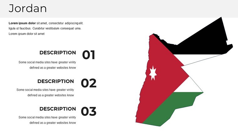
Jordan Keynote Map Template: Editable for Impactful Slides


Type: Keynote Maps template
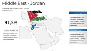
Category: Middle East
Sources Available: .key
Product ID: KM00211
Template incl.: 36 editable slides
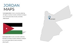
Jordan's rich tapestry of ancient history, stunning landscapes, and strategic location makes it a fascinating subject for any presentation. Our Jordan map Keynote template captures this essence in 36 editable slides, empowering you to create visuals that educate, inspire, and persuade. Whether you're a historian mapping Petra's archaeological wonders, a tourism executive promoting the Dead Sea's wellness retreats, or a business strategist analyzing trade routes through Aqaba, this template provides the foundation for standout decks.
Handcrafted with attention to Jordan's political and geographical nuances, the slides feature vector symbols that scale flawlessly, ensuring your content looks sharp on any device. Compatible with Keynote's robust tools, it includes custom animations and a free font pack, streamlining your design process. Drawing from authentic sources like Jordan's Department of Statistics, this template not only saves time but also infuses your work with authoritative detail.
Core Customization Capabilities Explored
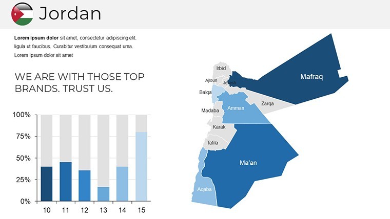
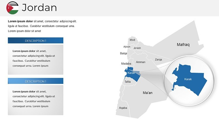
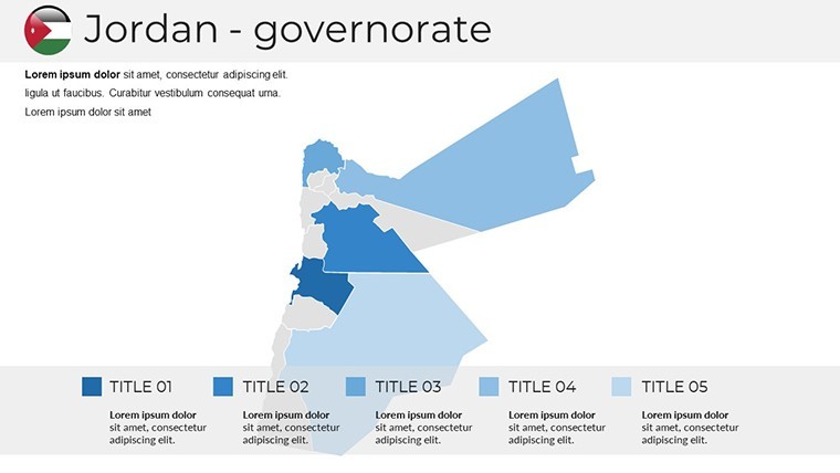
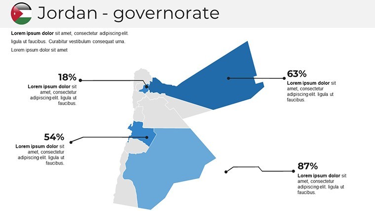
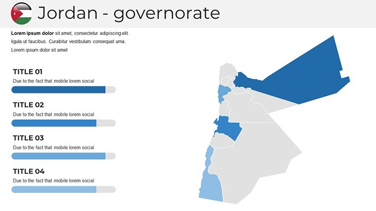
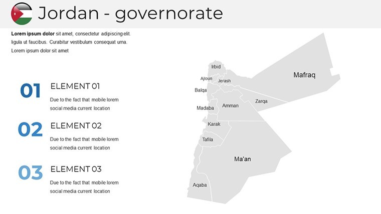
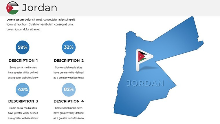
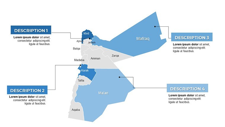
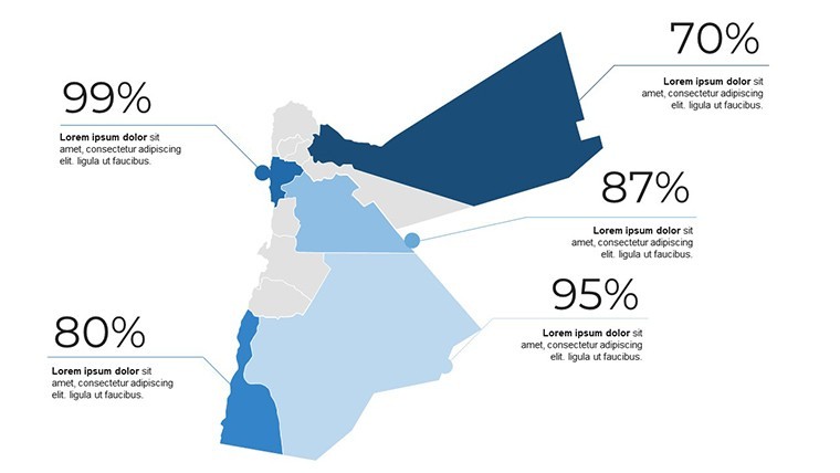
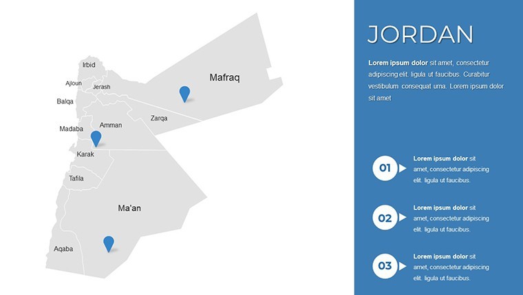
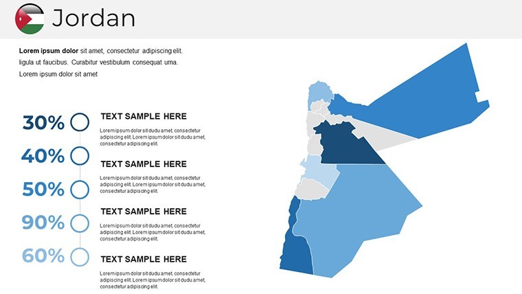
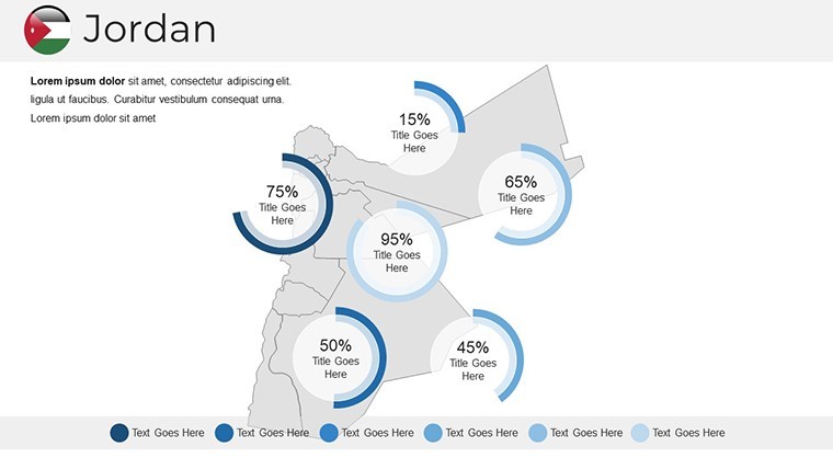
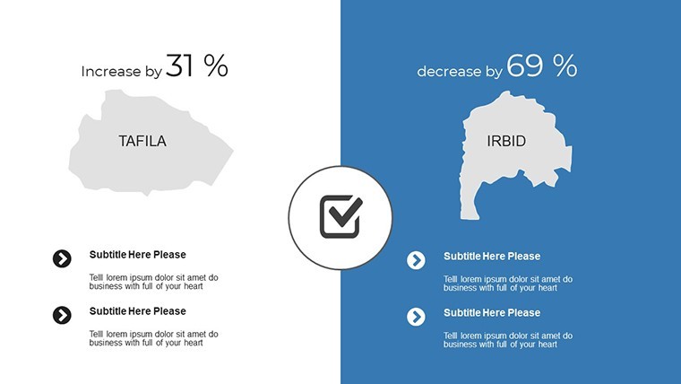
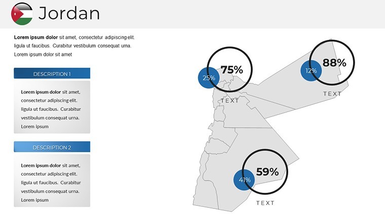
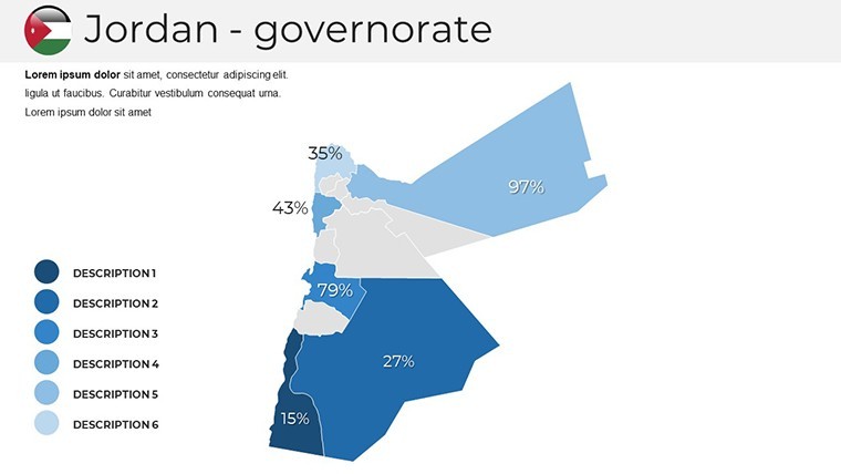
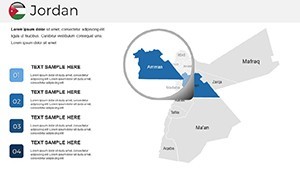
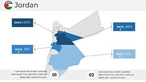
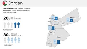
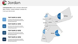
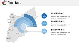
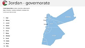
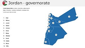
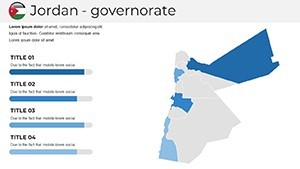
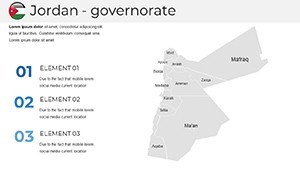
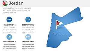
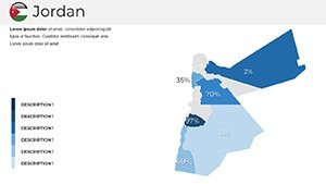
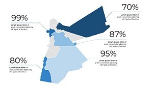
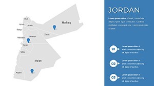
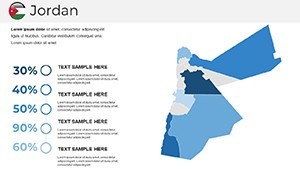
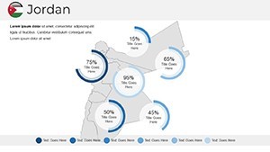
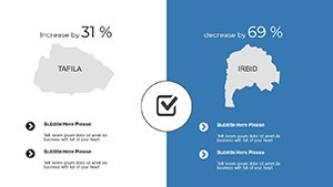
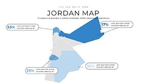
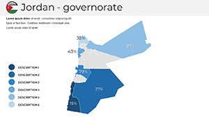
Empower your creativity with fully modifiable elements. Edit governorates like Amman or Irbid by altering fills, strokes, or adding grids for precise data plotting. For example, highlight the Jordan Valley's agricultural zones with green gradients to emphasize sustainability efforts.
- Scalable Vectors: Resize without distortion, great for zooming into sites like Wadi Rum.
- Color and Font Edits: Match themes to Jordan's flag colors or your brand for cohesive looks.
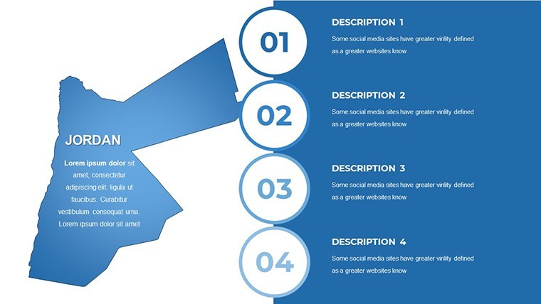
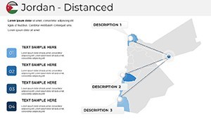
- Animated Objects: Bring maps to life with sequential reveals, ideal for timeline-based histories.
- Infographic Elements: Incorporate handmade diagrams, such as flowcharts for water resource management.
The template extends beyond maps to include section breaks and smart slides, facilitating narratives on Jordan's economic diversification or cultural heritage preservation.
Diverse Applications in Jordan-Centric Scenarios
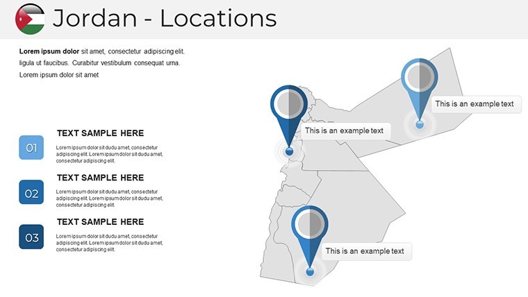
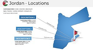
Envision a tourism pitch: Use early slides for an overview of Jordan's borders, then transition to detailed maps of Madaba's mosaics with overlaid icons for hotels and attractions. In academic settings, animate the progression of ancient civilizations, from Nabateans to modern times, enhancing lectures on Middle Eastern studies.
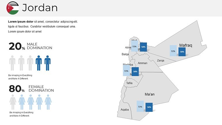
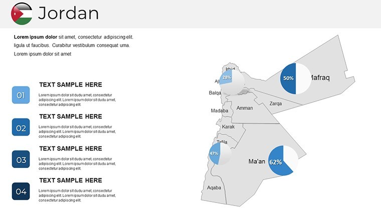
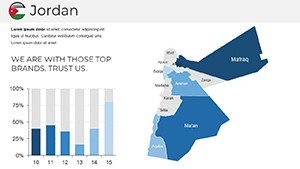
Business users can overlay economic data, like pie charts for tourism revenue, on maps of key ports. This approach surpasses standard tools by offering pre-optimized layouts, reducing creation time while aligning with standards from bodies like the Jordan Tourism Board. Real-case inspirations include mapping refugee integration efforts, drawing from UNHCR reports for added depth.
For political analyses, customize to show administrative divisions, adding notes on governance reforms. Users in similar templates note improved clarity, leading to better stakeholder buy-in.
Advanced Tips to Enhance Your Jordan Maps
Integrate external data seamlessly - pull from Jordan's open datasets and embed via Keynote's charting features. Add realism with textures for desert terrains or shadows for mountainous areas like Ajloun.
- Organize layers: Group regions for quick edits during revisions.
- Ensure accessibility: Use high-contrast colors for color-blind viewers.
- Export wisely: Convert to video for dynamic shares, preserving animations.
- Storytell effectively: Sequence slides to mirror Jordan's historical journeys.
These techniques, rooted in design principles from experts like those at the Royal Society for the Conservation of Nature, transform maps into compelling arguments.
Unique Advantages of This Jordan Template
Standing apart from broad map libraries, this focuses on Jordan's specifics - like editable axes for demographic charts - paired with a quick-guide for beginners. Unlimited licensing supports repeated use in workshops or client deliverables.
Its trustworthiness stems from vector accuracy, making it suitable for sensitive topics like border discussions.
Begin Crafting Your Jordan Story Today
Embrace the opportunity to present Jordan's wonders with this editable Keynote template. Download now to customize and captivate - turn maps into milestones of communication excellence.
Frequently Asked Questions
- Are the Jordan maps vector-based?
- Yes, ensuring scalability and editability without quality loss.
- Can I customize animations?
- Absolutely, each object supports custom Keynote animations for dynamic effects.
- What if I need to share with non-Keynote users?
- Export to PDF or PowerPoint formats easily, with tips in the included guide.
- Is the template suitable for commercial projects?
- Yes, fully licensed for personal and business use.
- How do I edit regions?
- Double-click shapes in Keynote to adjust colors, sizes, or add labels.
- Does it include infographics?
- Handmade ones are integrated, ready for data insertion.